like:
type:
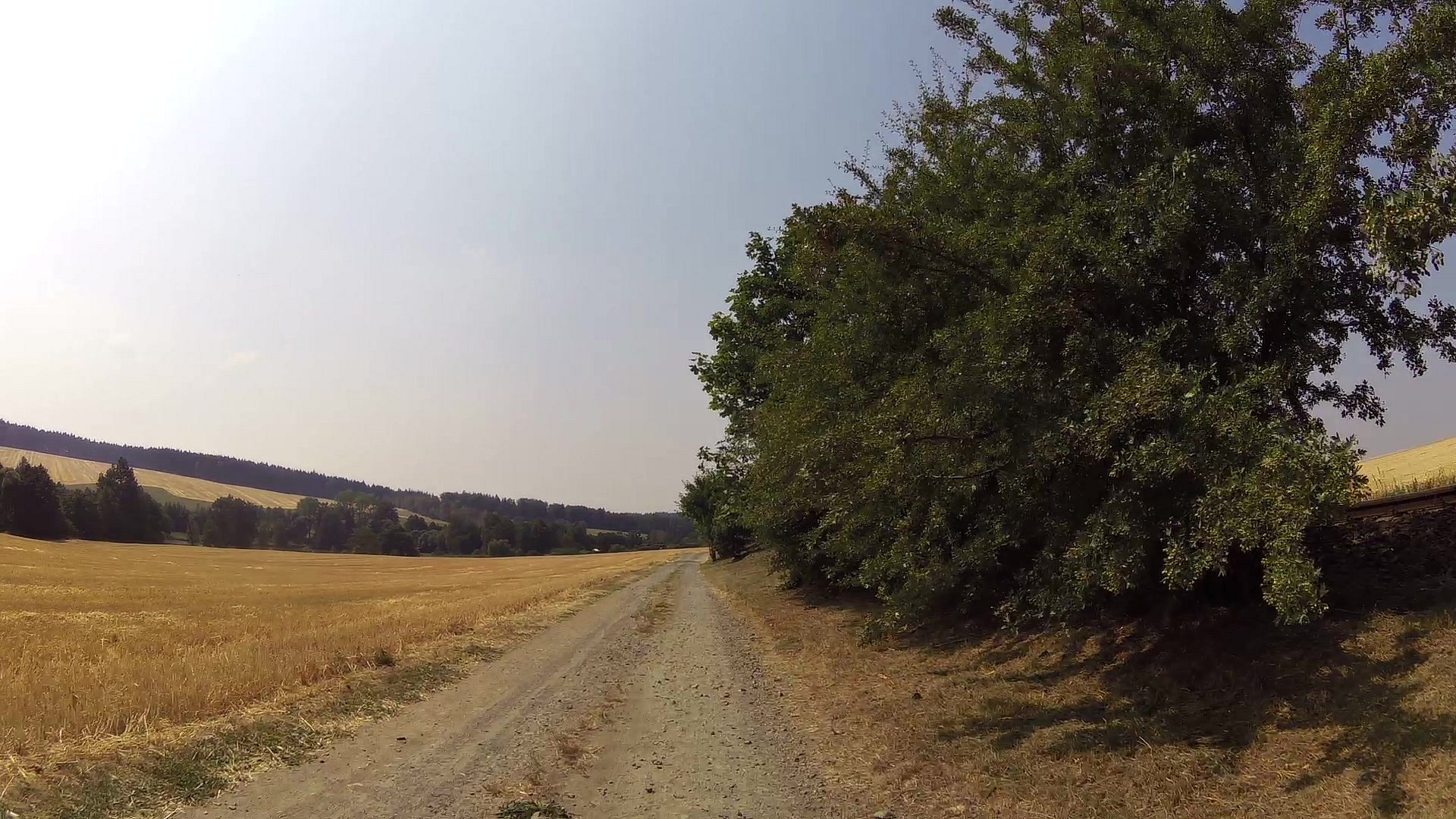
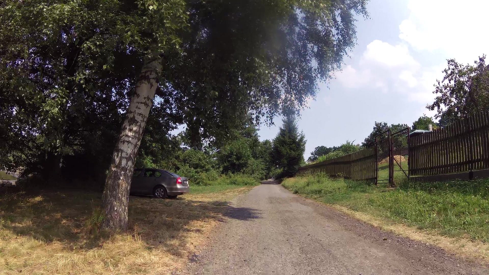
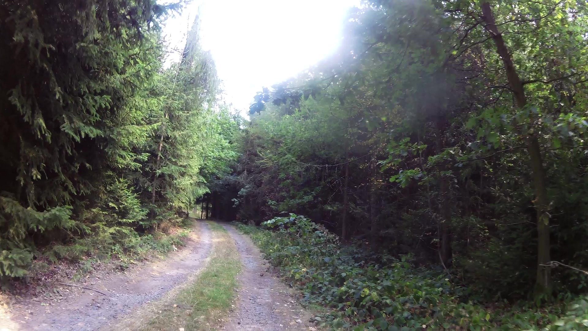
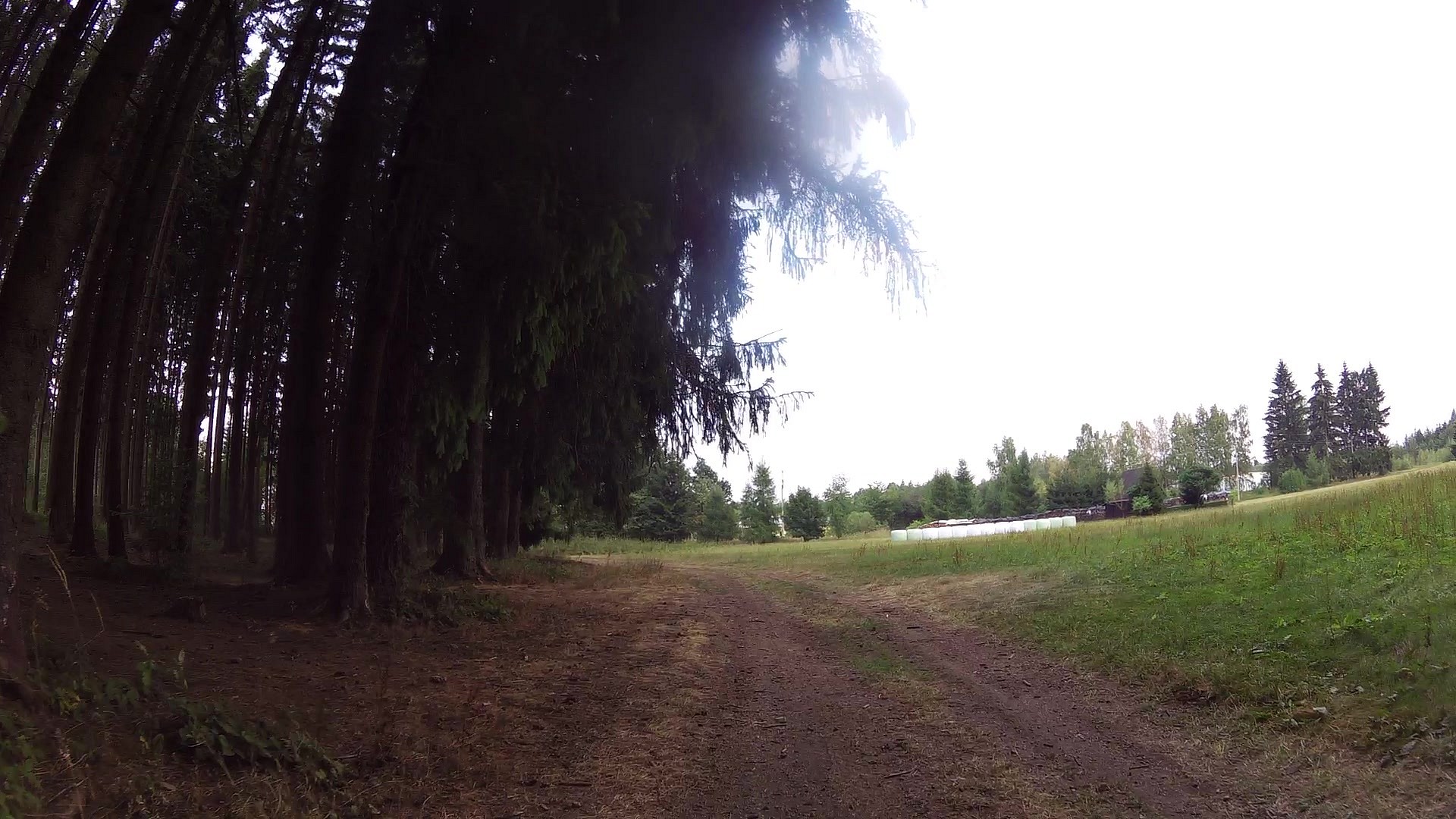
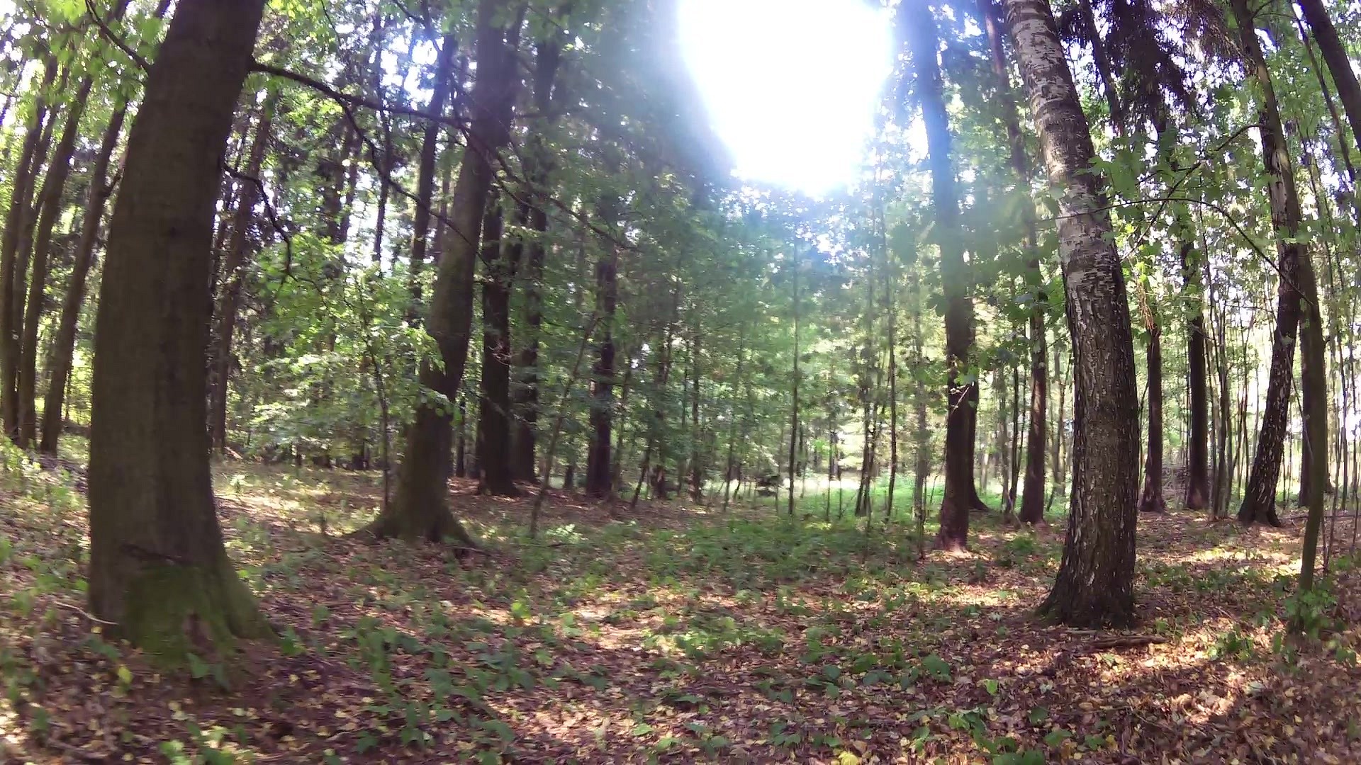
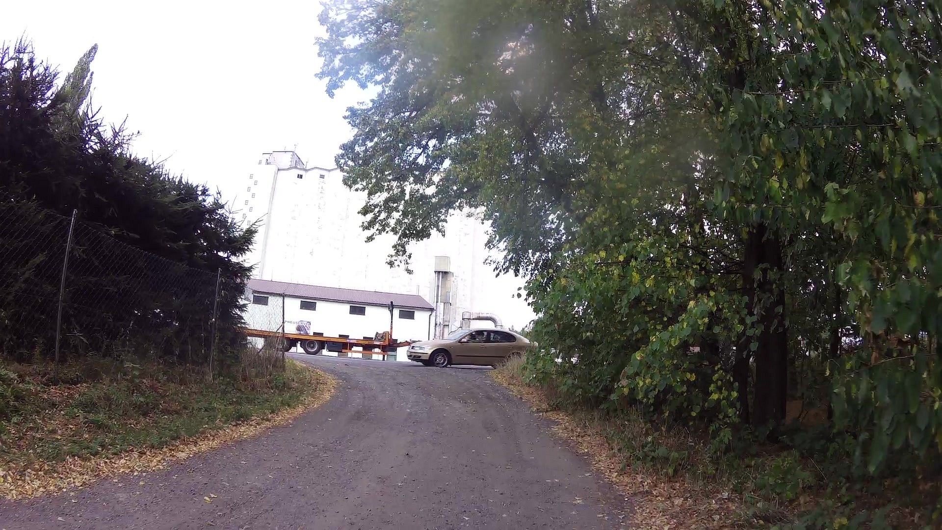
Walking tour
difficulty:
Easy
length:
13.41km
total elevation:
167.40m
total descent:
167.40m
navigation:

| 0.00km from start |
13.41km to finish |
m elevation |
0m total elevation |
0m total descent |
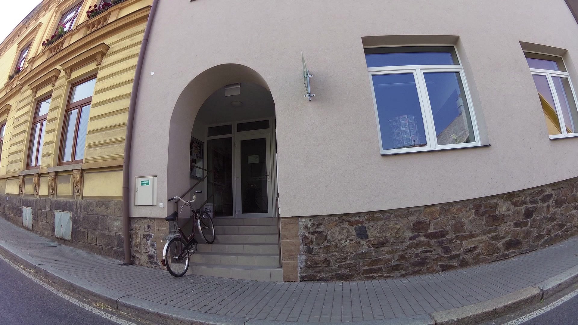
| Chotěboř Information Center | map | video | |
| Chapel of the Exaltation of the Holy Cross | map | video | |
| Memorable lime tree in Břevnice | map | video | |
| Spring well in Břevnice | map | video | |
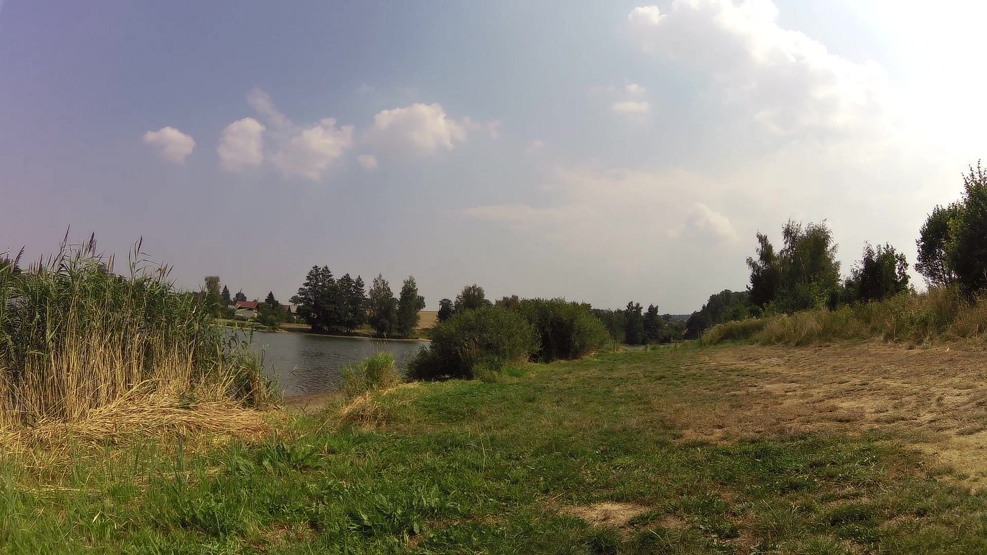
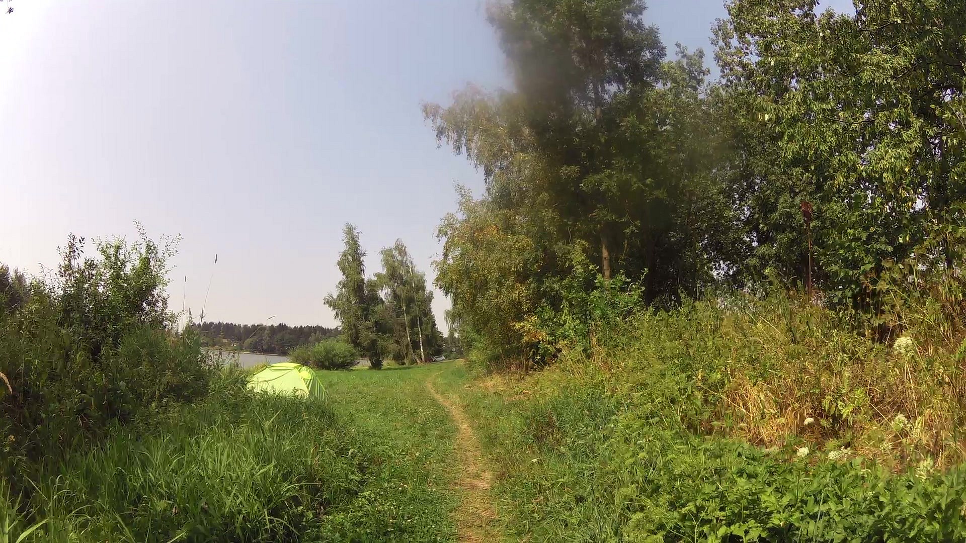
| Water reservoir at Břevnice, „Eckhardťák“ pond, ponds set Kacíře | map | video | |
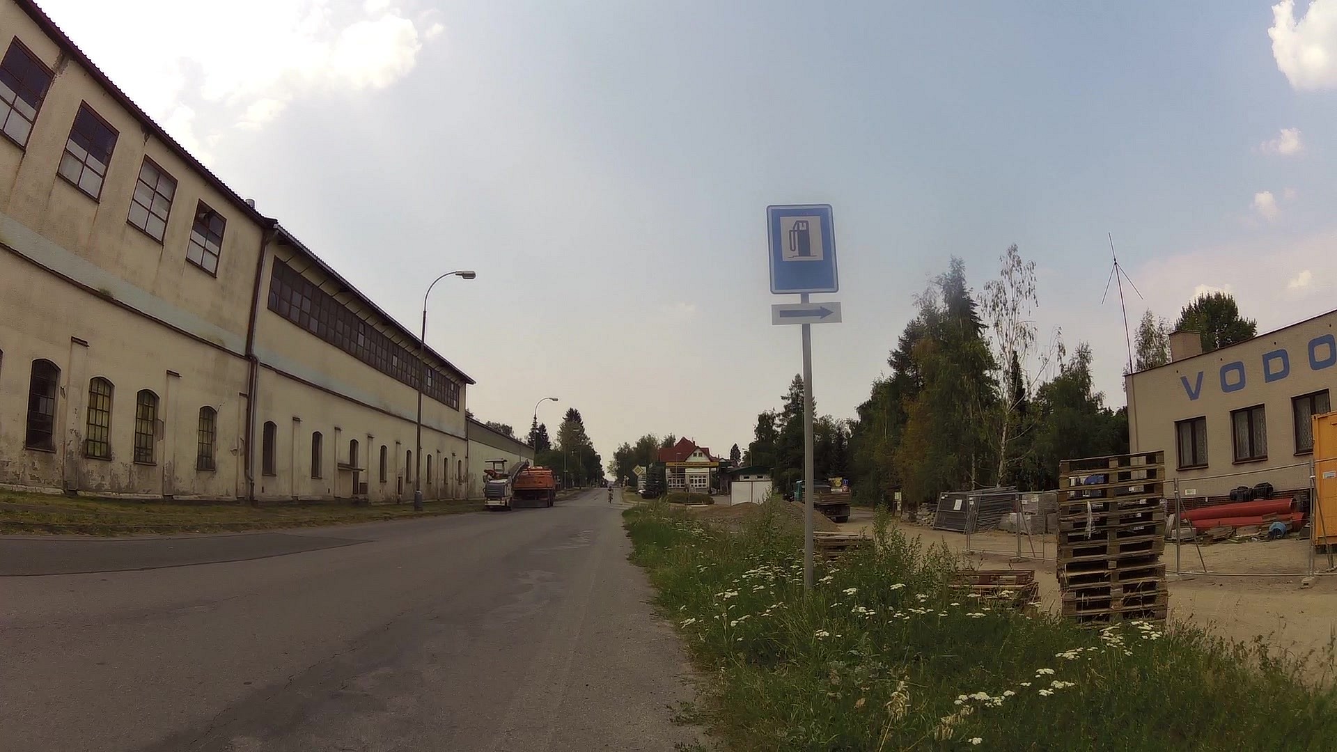
| Pool at Chotěboř | map | video | |
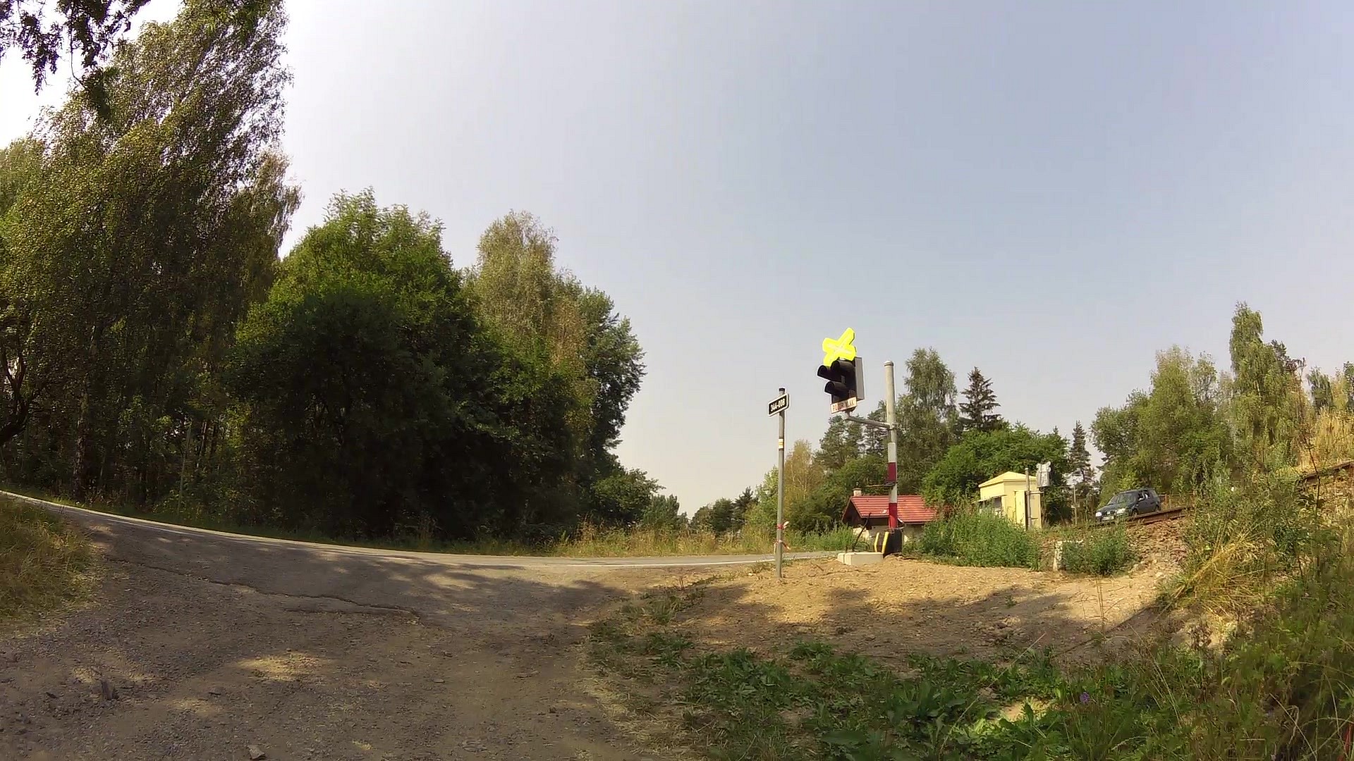
| Czech railways station and bike rental | map | video | |
| Devil's statue | map | video | |
| Josef Kruml's villa | map | video | |
| House with a turret nb. 614 and writer Ignát Herrmann's statue | map | video | |
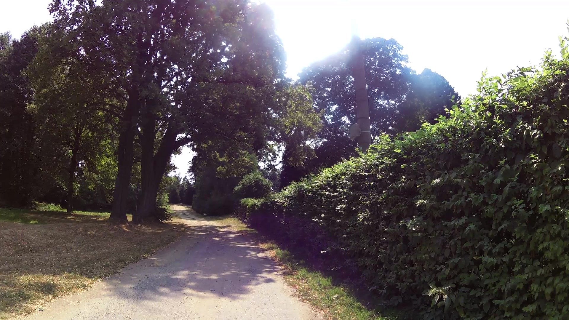
| Václav Fiala's park | map | video |


![]() Back to the list of videoroutes
Back to the list of videoroutes


")


