Beaches West Bay - port for cruise ships, Honduras, Roatan

1x

Profile

0.00km
from start
10.42km
to finish
m
elevation
0m
total elevation
0m
total descent

Point of interest (POI)

Beachers map video
Port of Roatan map video
like:
type:
By car
difficulty:
Easy
length:
10.42km
total elevation:
223.70m
total descent:
227.60m
navigation:
The route was filmed by camera Garmin Virb Elite

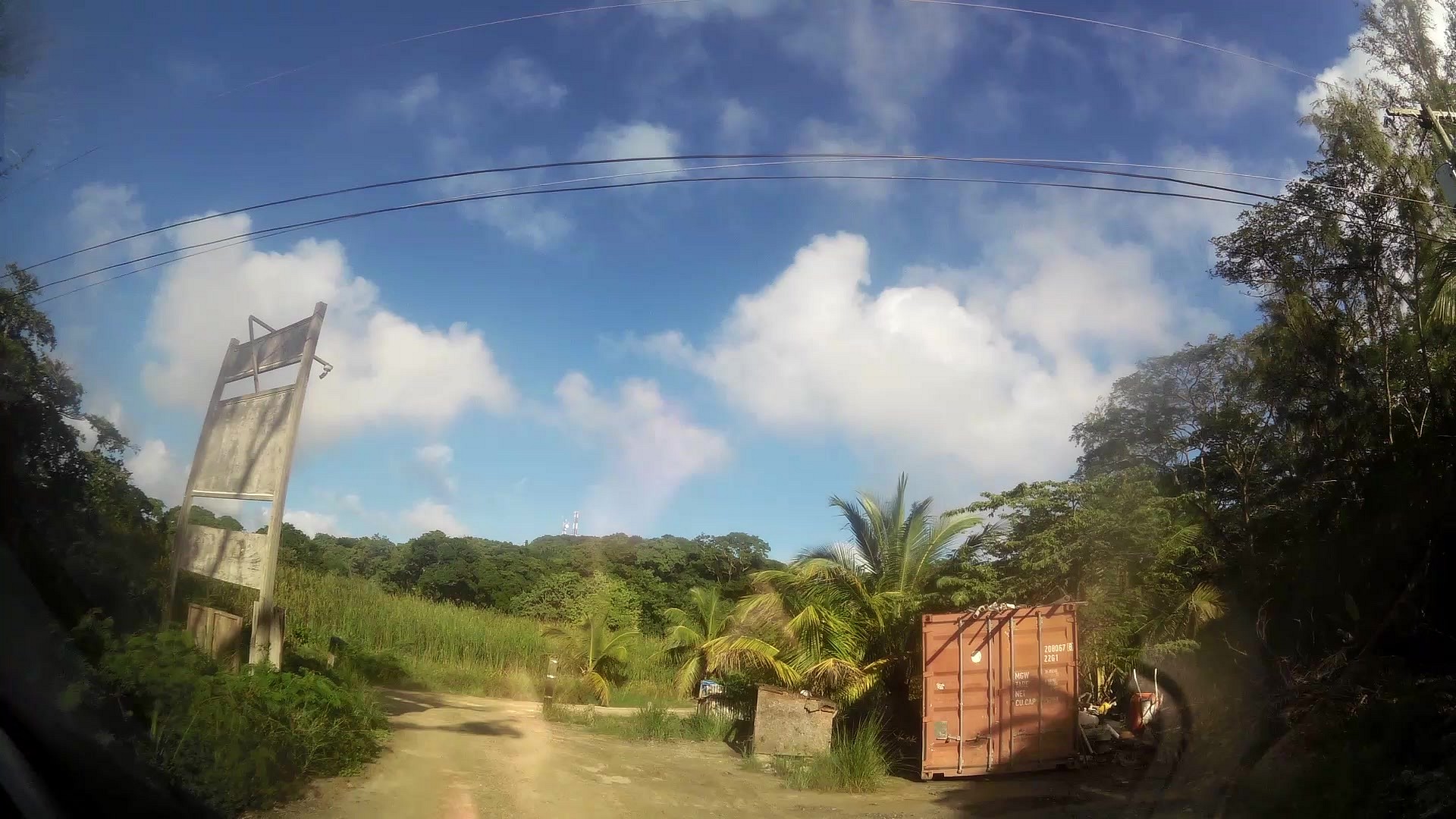
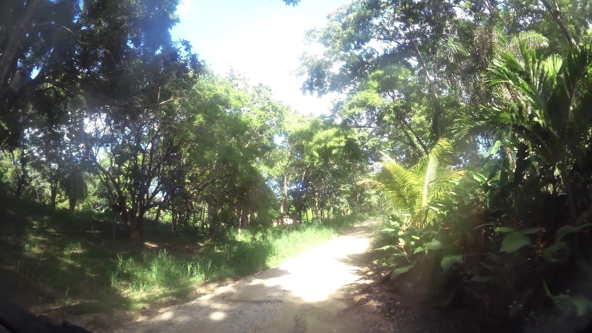
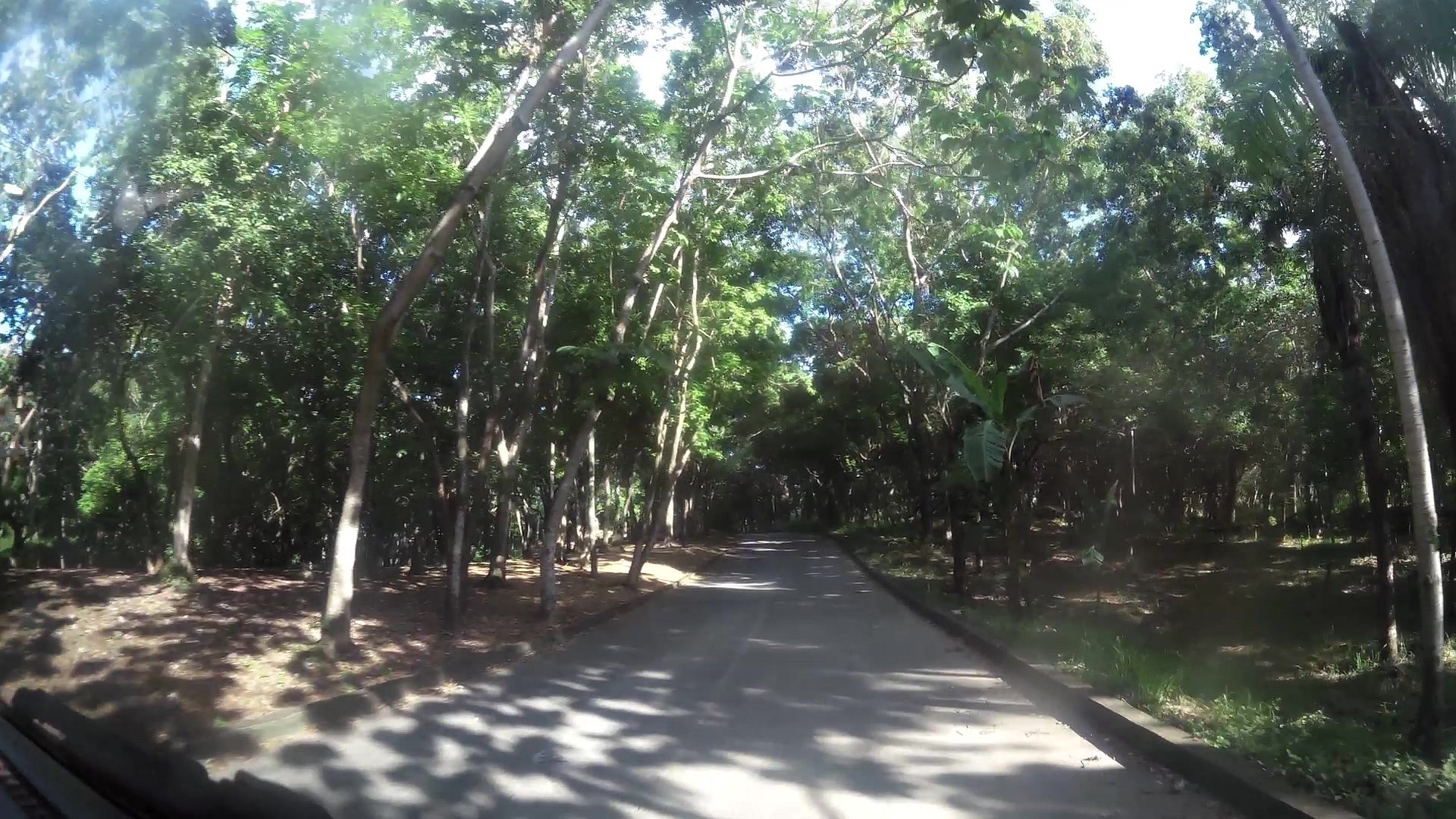
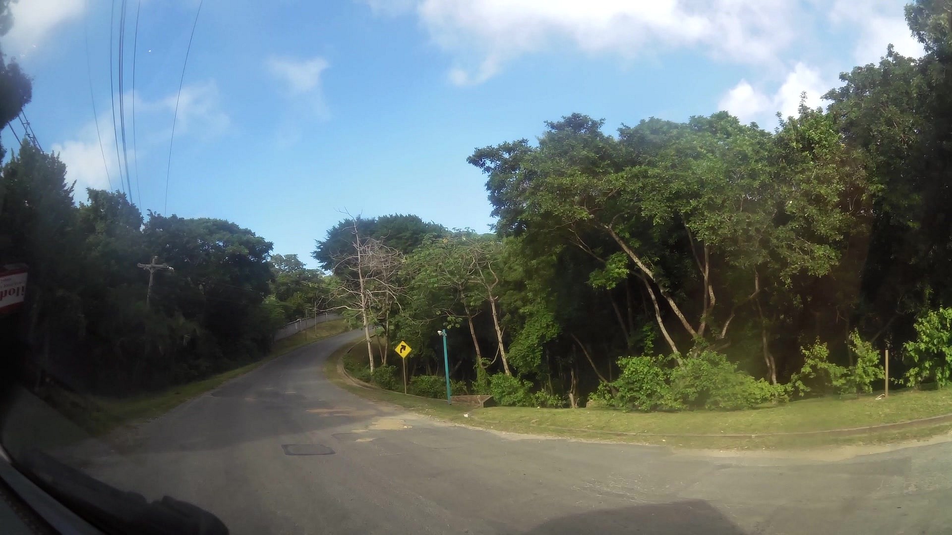
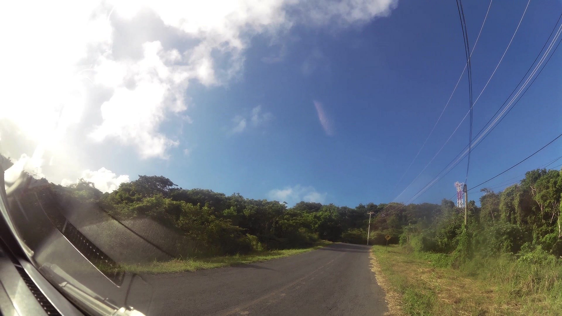
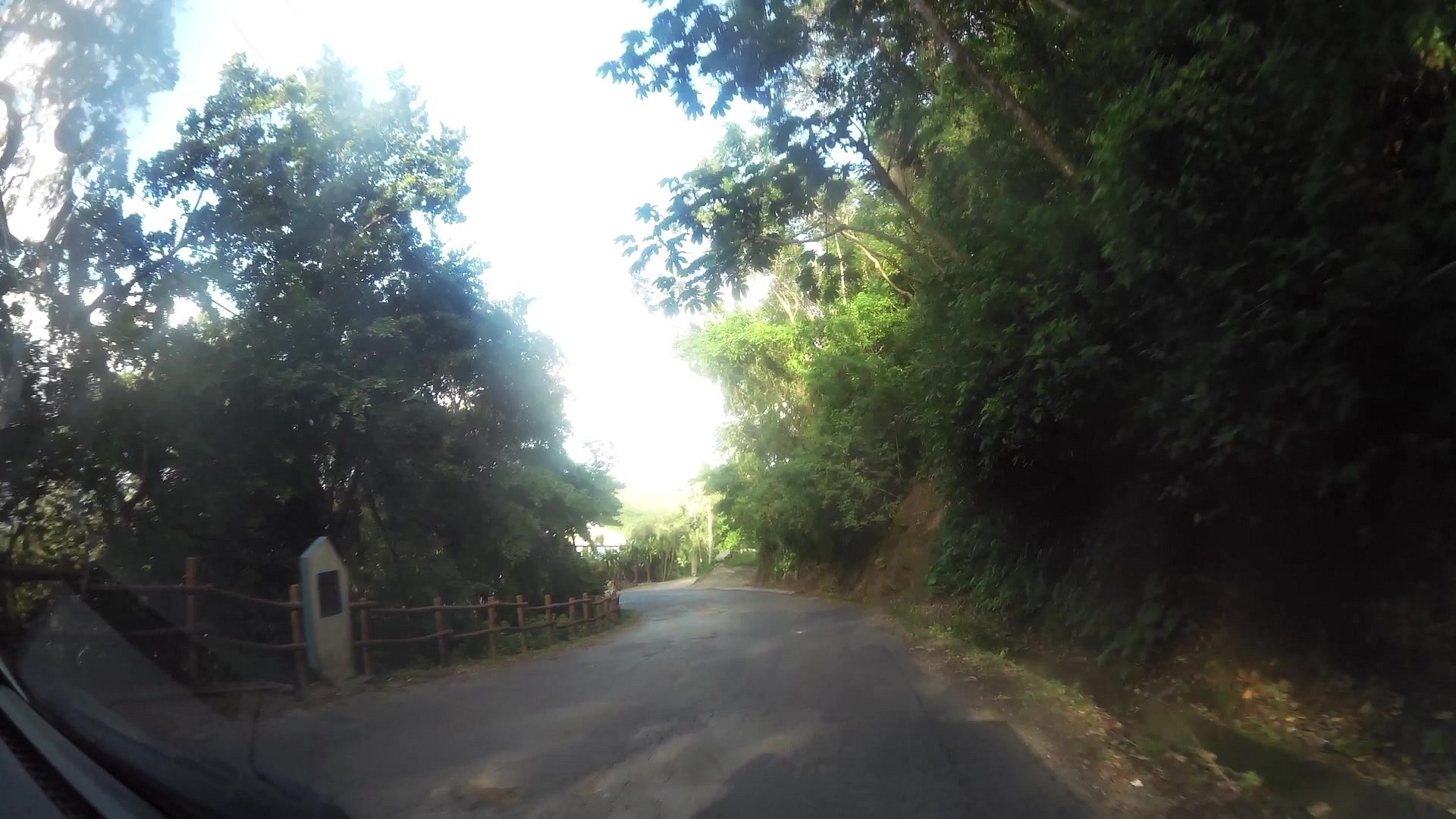
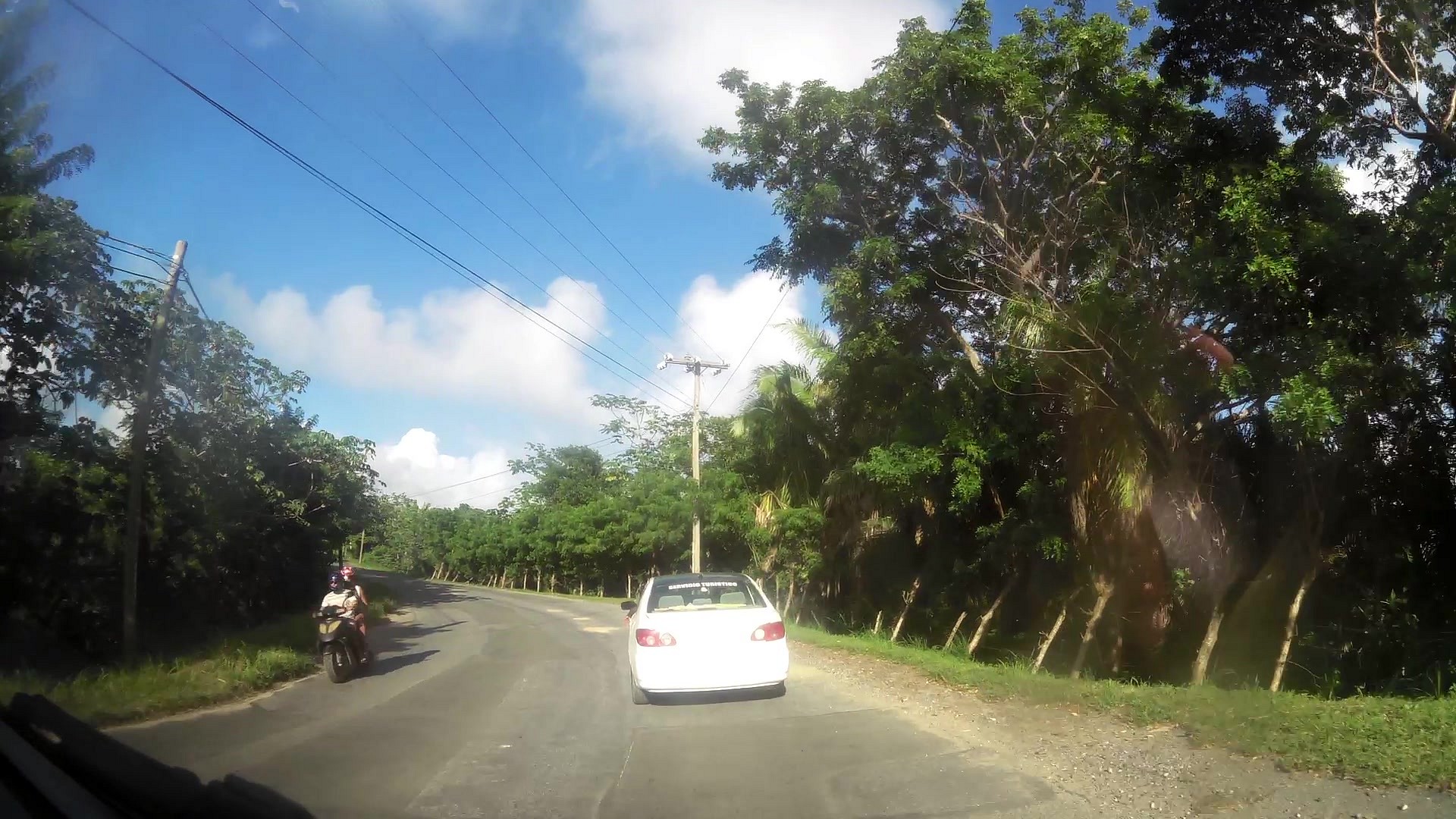
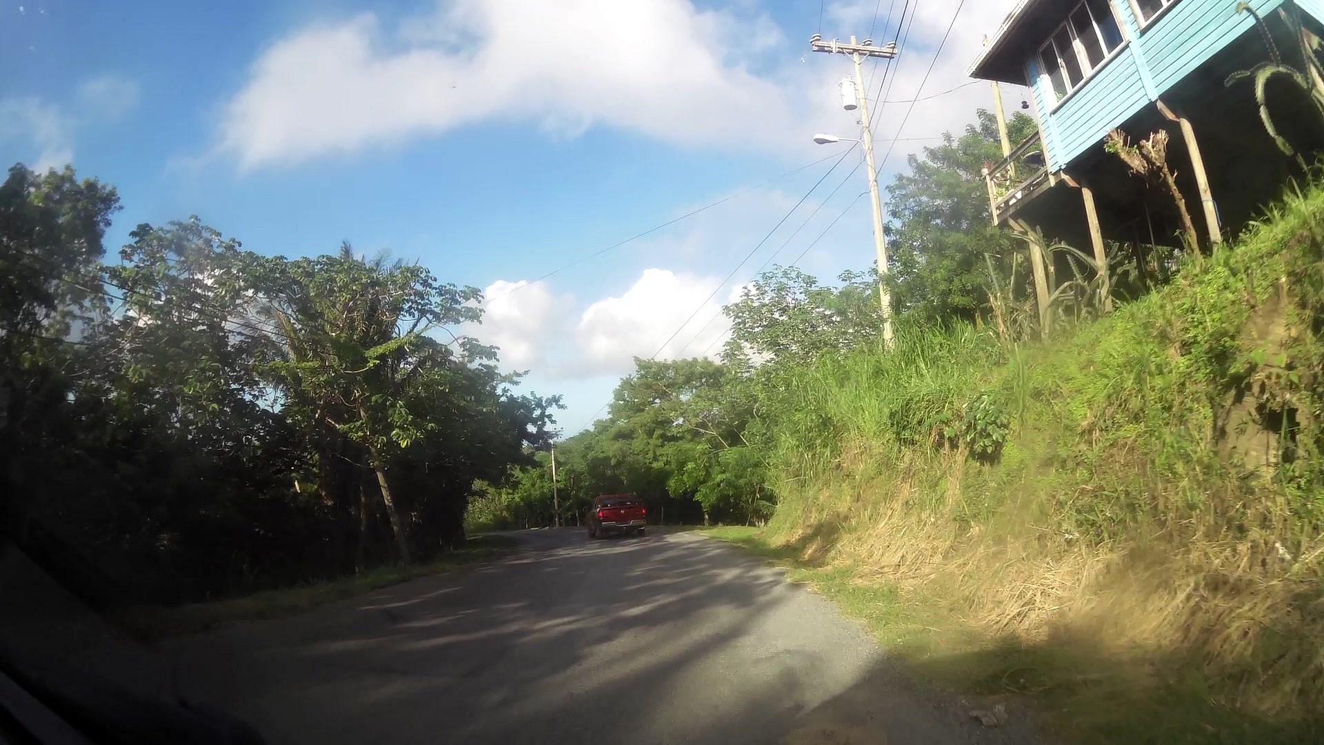
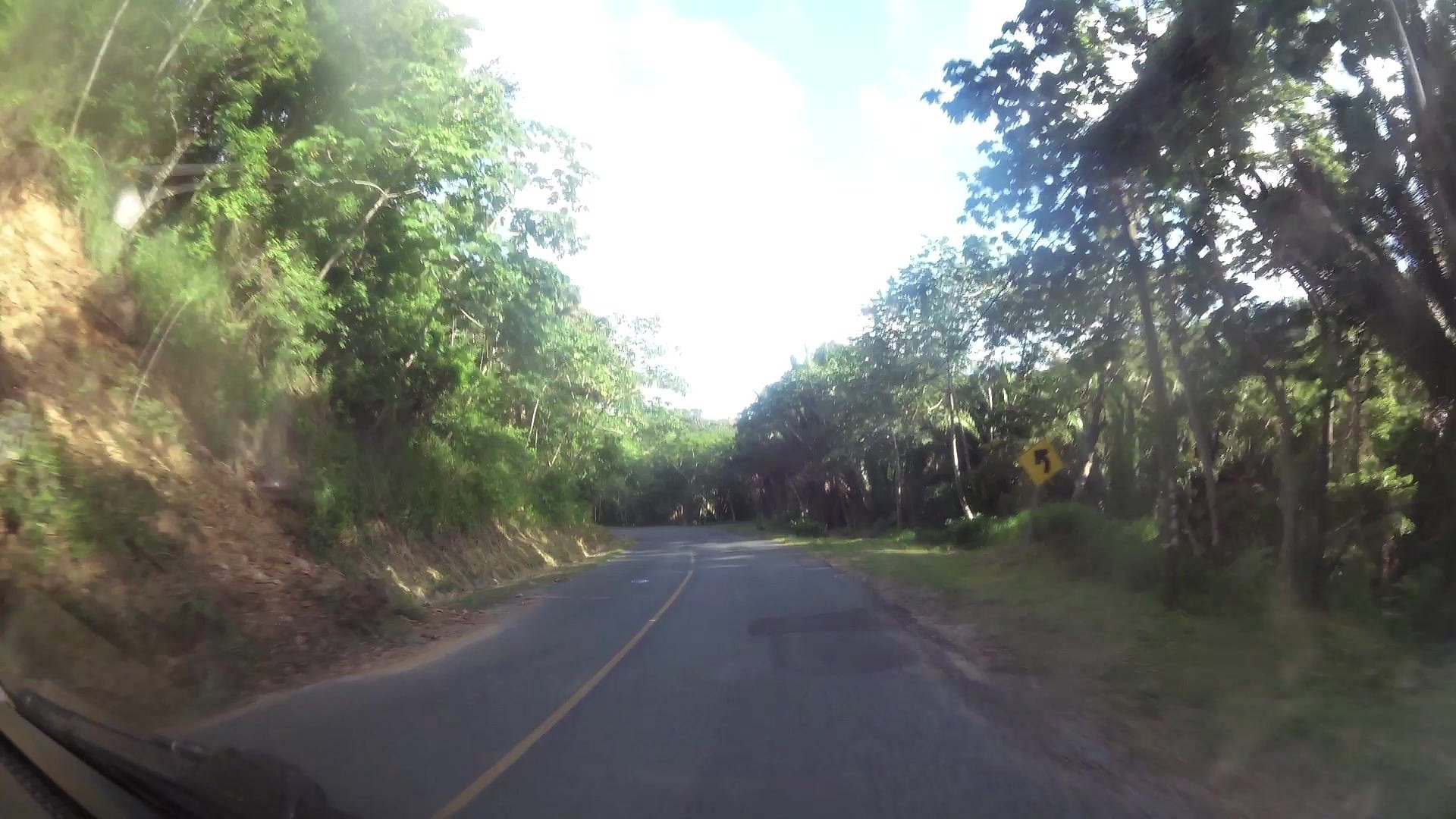
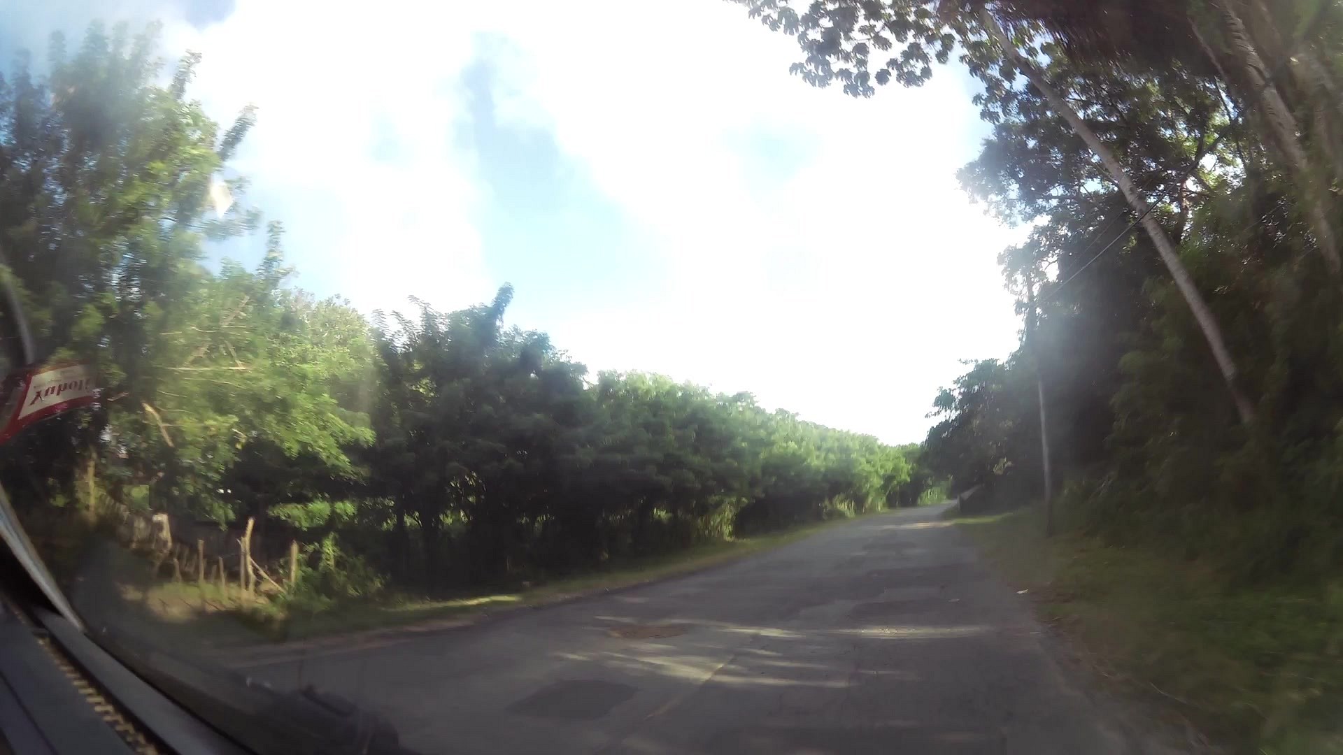
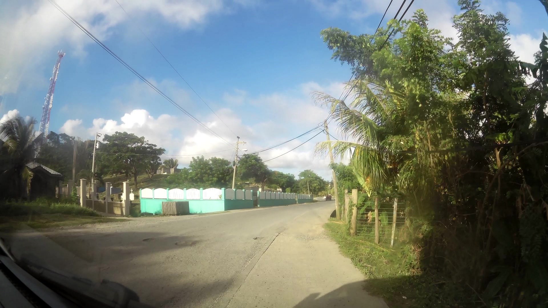
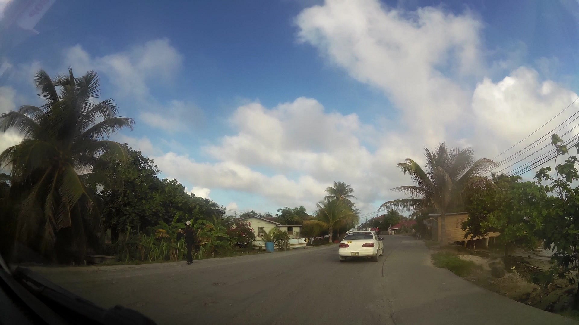
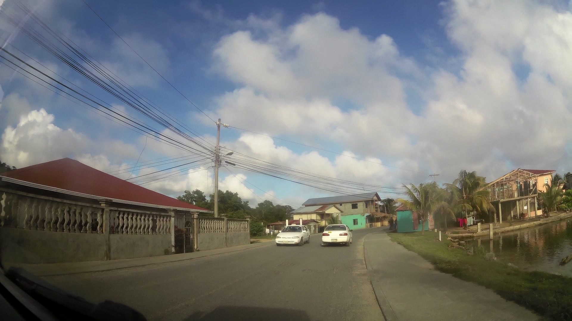
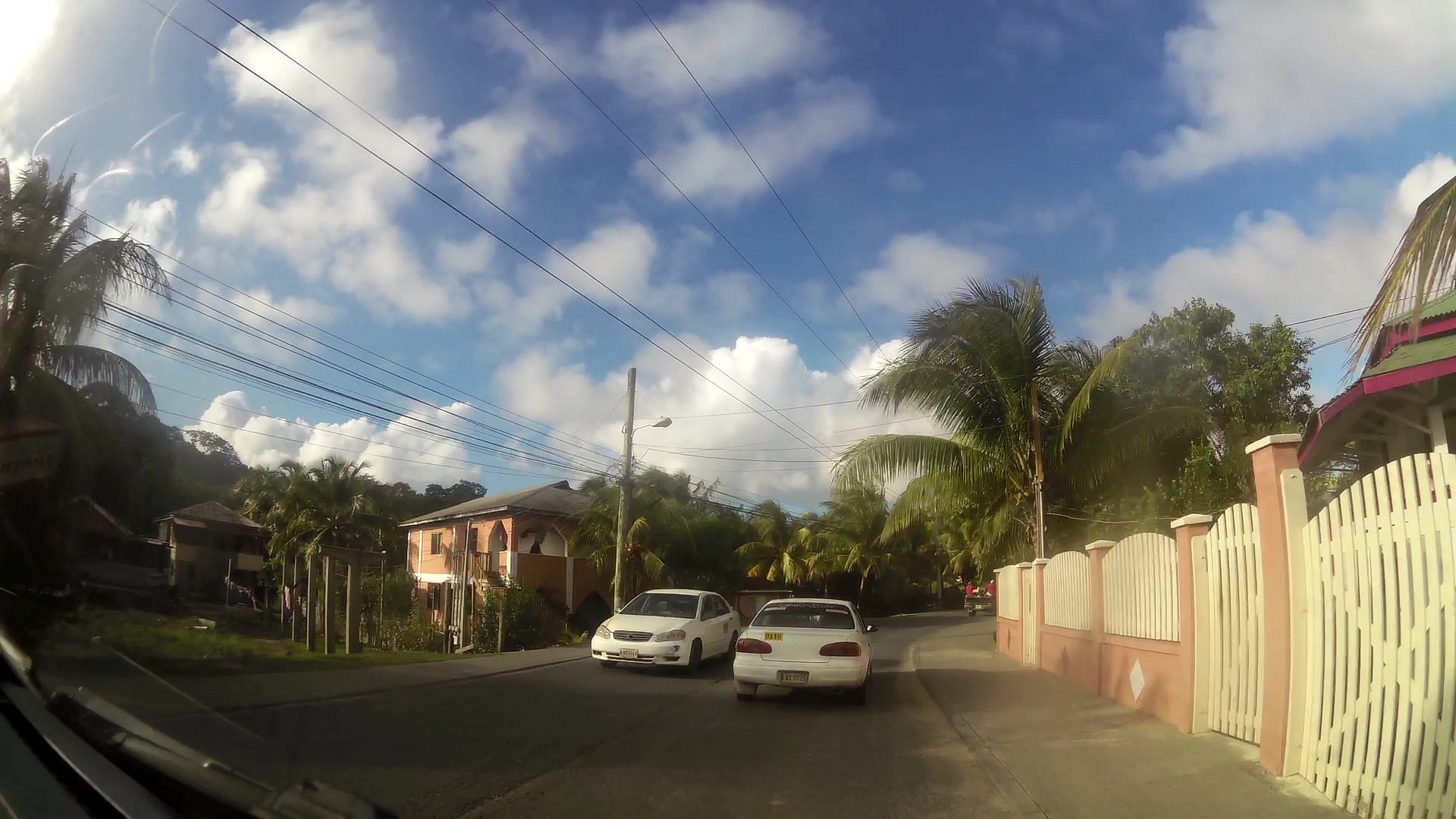
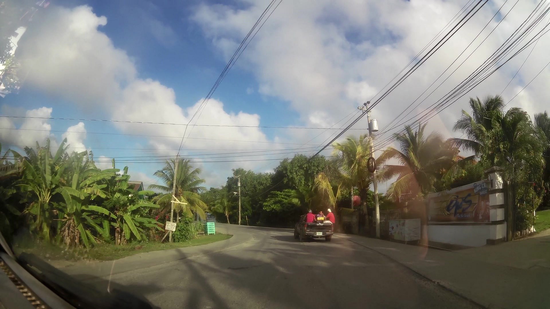
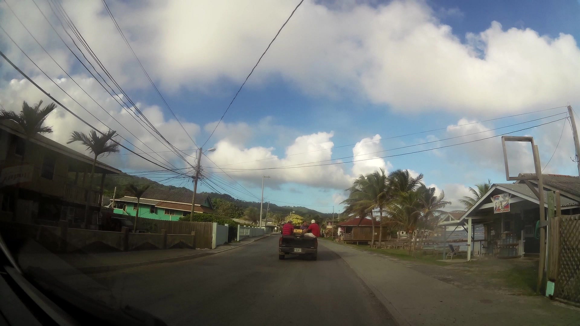
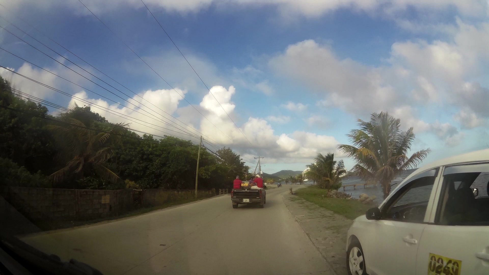
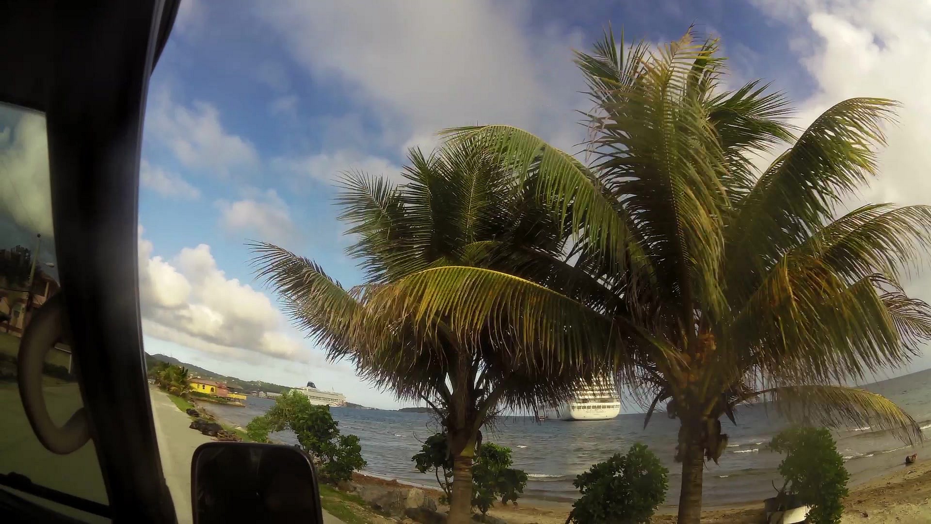
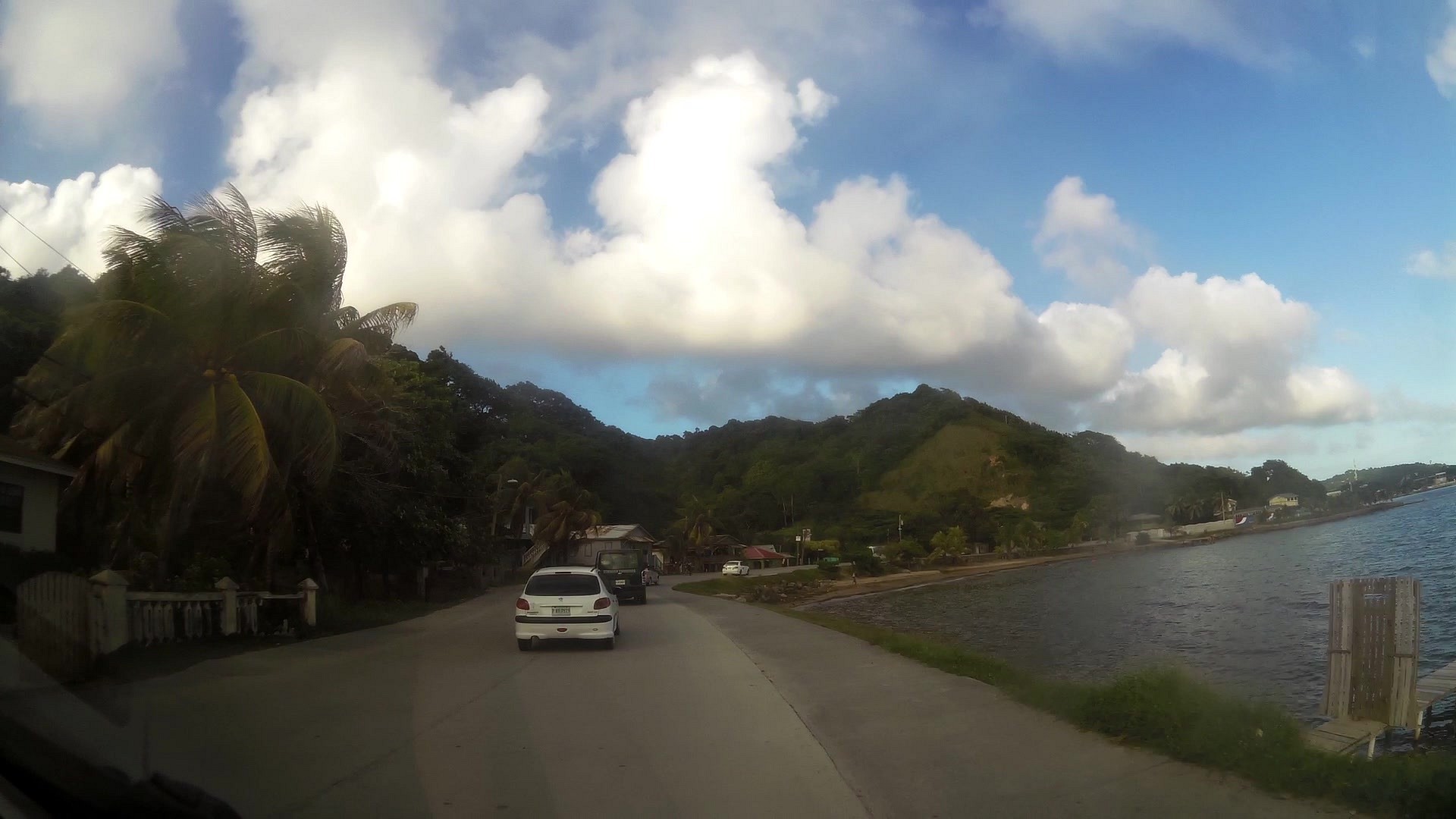
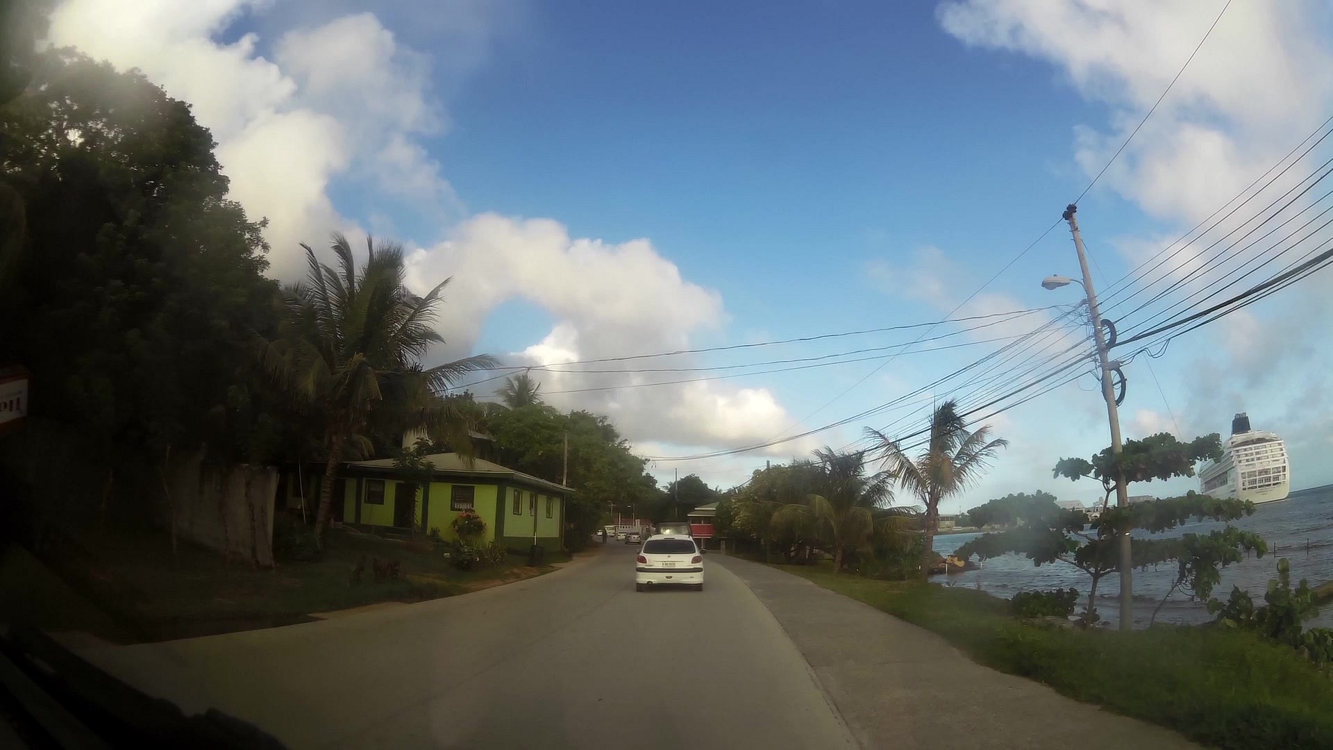
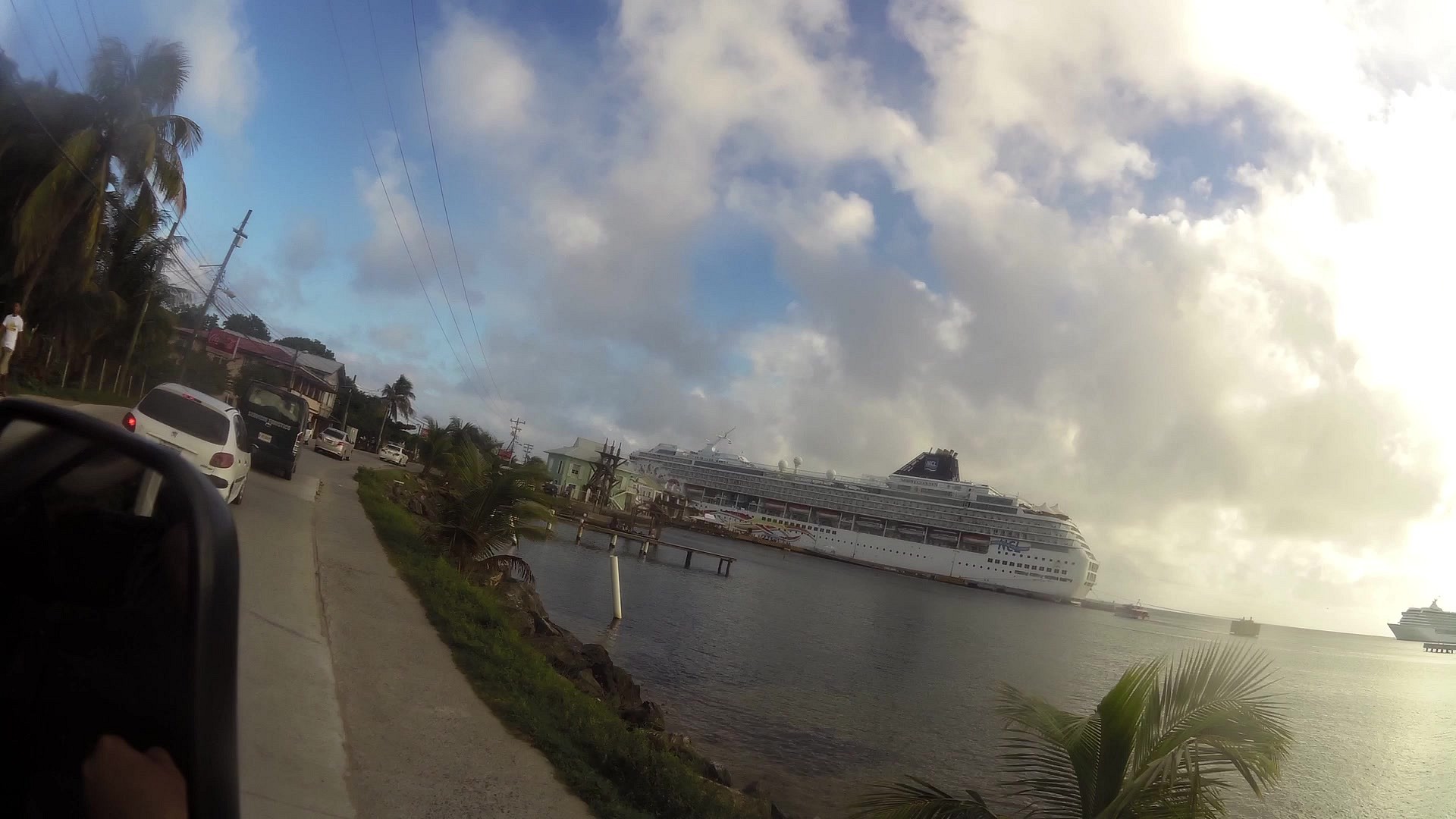
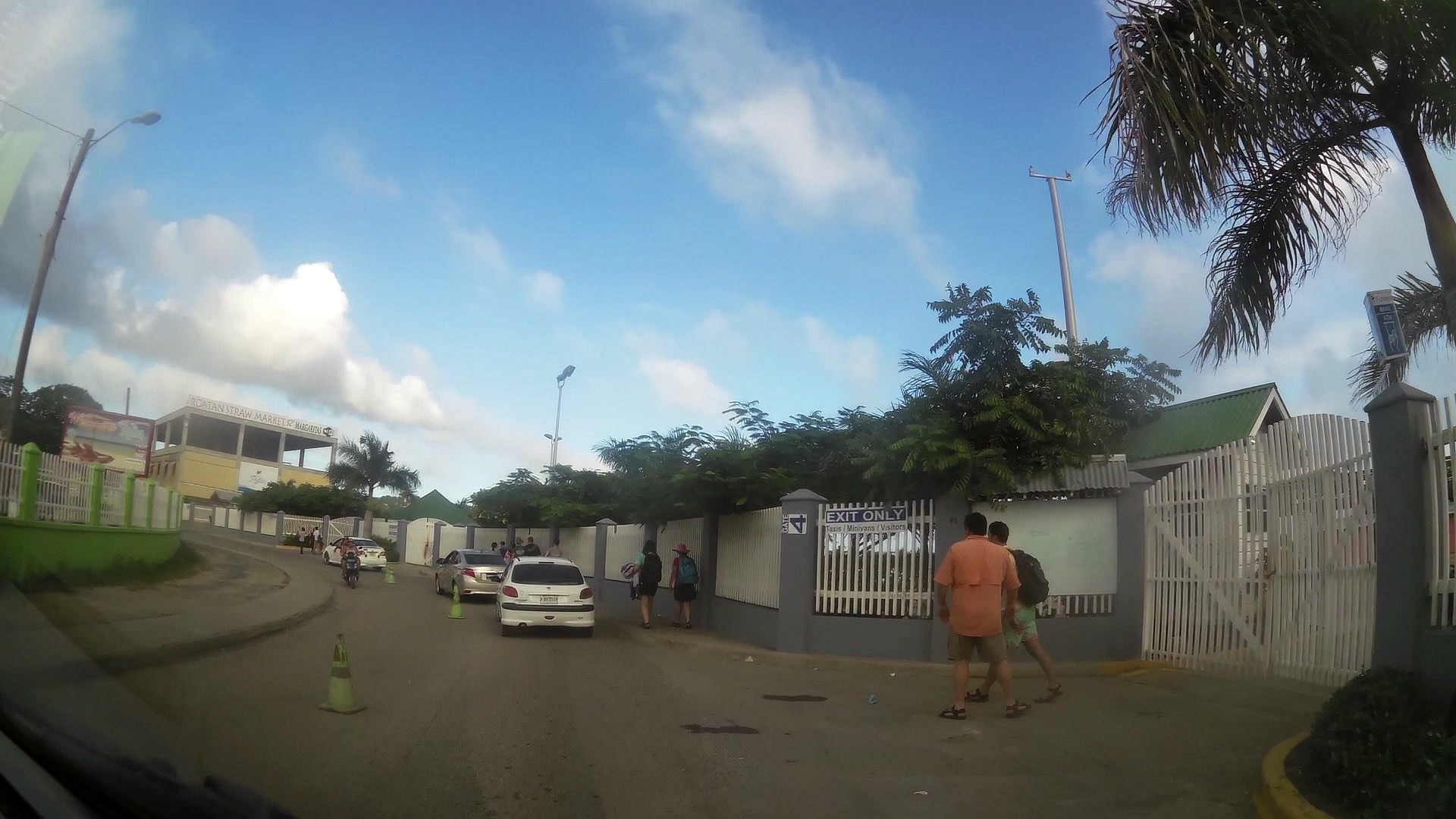
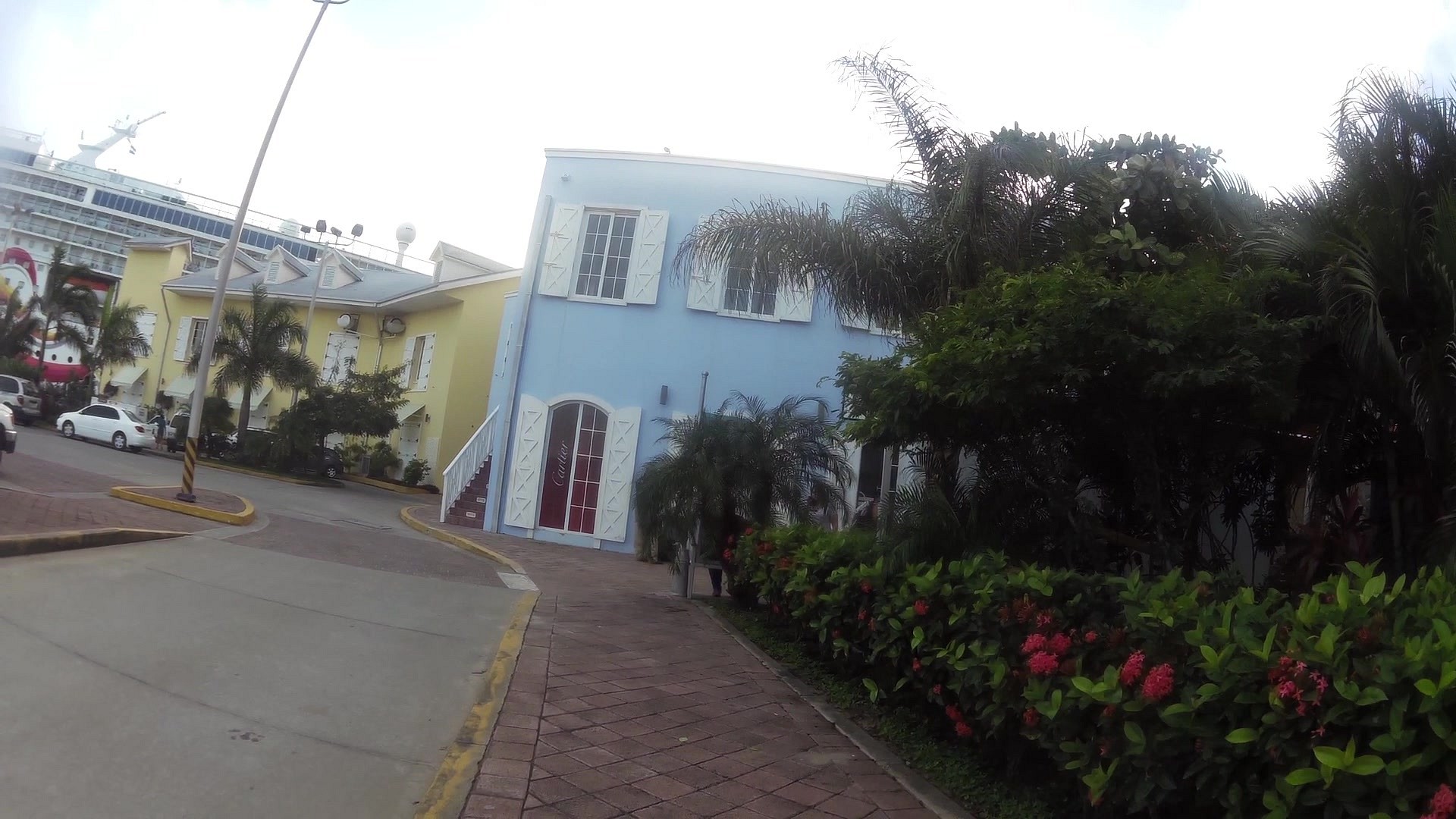
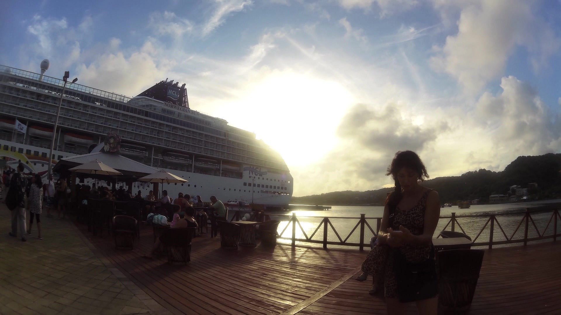
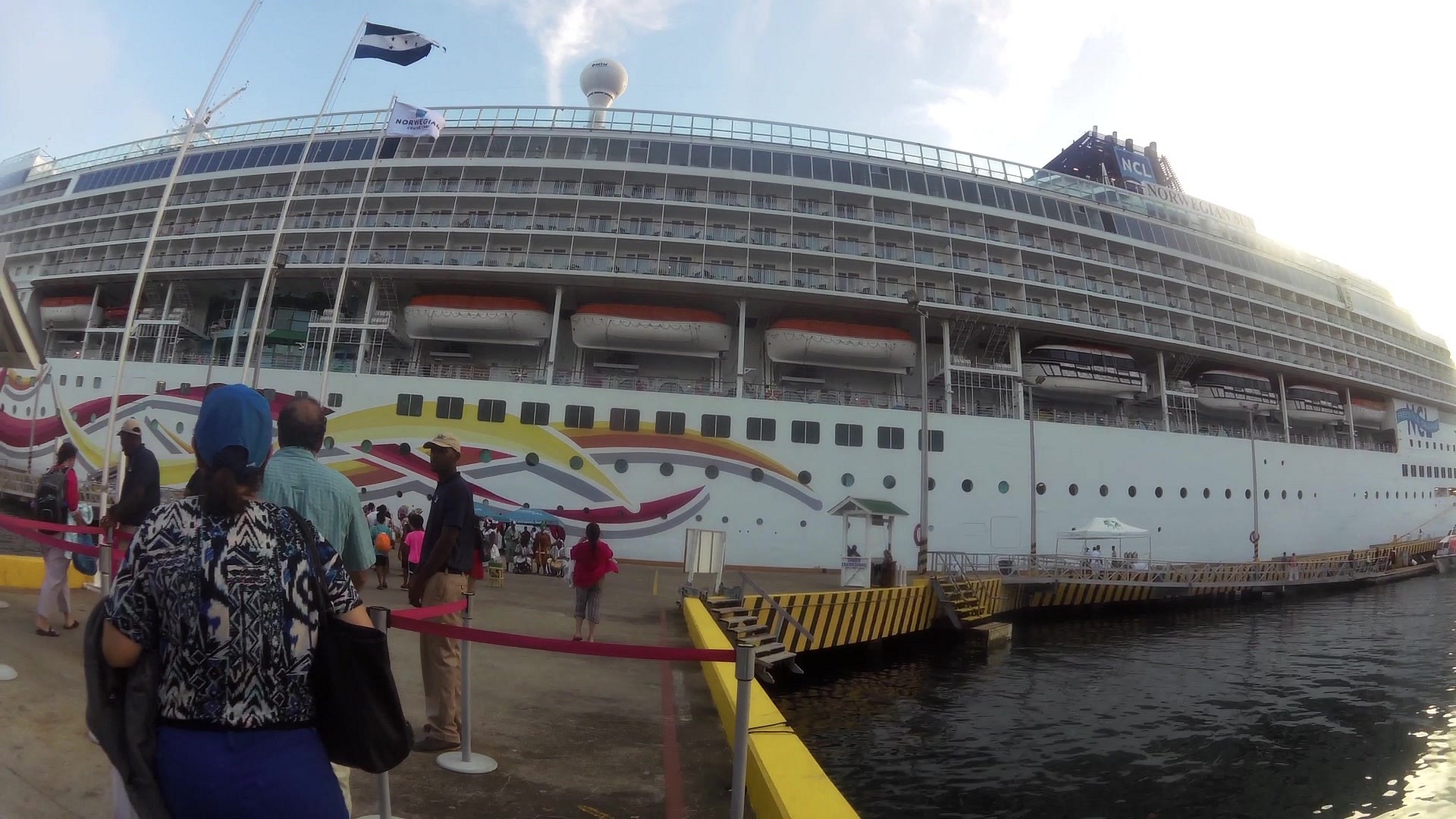
Our route monitors local private taxi route from the Bay West Bay (one of the nicest beaches on the southern island of Roatan). In the Bay Gravel Bay park cruise ships - Cruise. Next to the harbor you can find the airport.

If you arrive on the island via cruise ships, you can take one of the many trips from the shipping company. We went around the island by yourself, with the help of private taxis. Do not be afraid to haggle. Celodení rental car, including gasoline will cost around 30-50 US dollars, including driver and guide.

Other Activities: swimming with dolphins, iguanas farm, diving, boat trips, years on the rope, motocross quads,

Capital: Coxen Hole
Main cities of the island: French Harbour, West End, Oak Ridge, Jonesville
Currency: Honduran Lempira (LPS) and US dollars (USD)
Official language: Spanish, usually on the island speaks both English (island belonged from the 18th century to about 1980, under the administration of Great Britain)

Photos from track

Picture from track Beaches West Bay - port for cruise ships, Honduras, Roatan
0.00km • map • video
Picture from track Beaches West Bay - port for cruise ships, Honduras, Roatan
0.18km • map • video
Picture from track Beaches West Bay - port for cruise ships, Honduras, Roatan
0.33km • map • video
Picture from track Beaches West Bay - port for cruise ships, Honduras, Roatan
0.69km • map • video
Picture from track Beaches West Bay - port for cruise ships, Honduras, Roatan
1.03km • map • video
Picture from track Beaches West Bay - port for cruise ships, Honduras, Roatan
1.39km • map • video
Picture from track Beaches West Bay - port for cruise ships, Honduras, Roatan
1.86km • map • video
Picture from track Beaches West Bay - port for cruise ships, Honduras, Roatan
2.40km • map • video
Picture from track Beaches West Bay - port for cruise ships, Honduras, Roatan
2.91km • map • video
Picture from track Beaches West Bay - port for cruise ships, Honduras, Roatan
3.49km • map • video
Picture from track Beaches West Bay - port for cruise ships, Honduras, Roatan
3.97km • map • video
Picture from track Beaches West Bay - port for cruise ships, Honduras, Roatan
4.56km • map • video
Picture from track Beaches West Bay - port for cruise ships, Honduras, Roatan
5.15km • map • video
Picture from track Beaches West Bay - port for cruise ships, Honduras, Roatan
5.68km • map • video
Picture from track Beaches West Bay - port for cruise ships, Honduras, Roatan
5.97km • map • video
Picture from track Beaches West Bay - port for cruise ships, Honduras, Roatan
6.28km • map • video
Picture from track Beaches West Bay - port for cruise ships, Honduras, Roatan
6.72km • map • video
Picture from track Beaches West Bay - port for cruise ships, Honduras, Roatan
7.17km • map • video
Picture from track Beaches West Bay - port for cruise ships, Honduras, Roatan
7.60km • map • video
Picture from track Beaches West Bay - port for cruise ships, Honduras, Roatan
8.02km • map • video
Picture from track Beaches West Bay - port for cruise ships, Honduras, Roatan
8.62km • map • video
Picture from track Beaches West Bay - port for cruise ships, Honduras, Roatan
9.10km • map • video
Picture from track Beaches West Bay - port for cruise ships, Honduras, Roatan
9.47km • map • video
Picture from track Beaches West Bay - port for cruise ships, Honduras, Roatan
9.86km • map • video
Picture from track Beaches West Bay - port for cruise ships, Honduras, Roatan
10.04km • map • video
Picture from track Beaches West Bay - port for cruise ships, Honduras, Roatan
10.24km • map • video
Picture from track Beaches West Bay - port for cruise ships, Honduras, Roatan
10.32km • map • video
Picture from track Beaches West Bay - port for cruise ships, Honduras, Roatan
10.41km • map • video

back Back to the list of videoroutes

back Back to the list of videoroutes