like:
type:
Walking tour
difficulty:
Easy
length:
1.81km
total elevation:
22.10m
total descent:
15.60m
navigation:

| 0.00km from start |
1.81km to finish |
m elevation |
0m total elevation |
0m total descent |
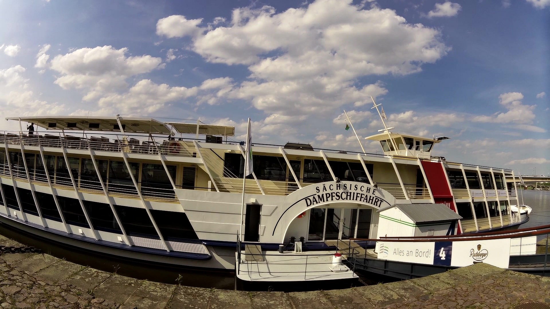
| A wharf for steamboats | map | video | |
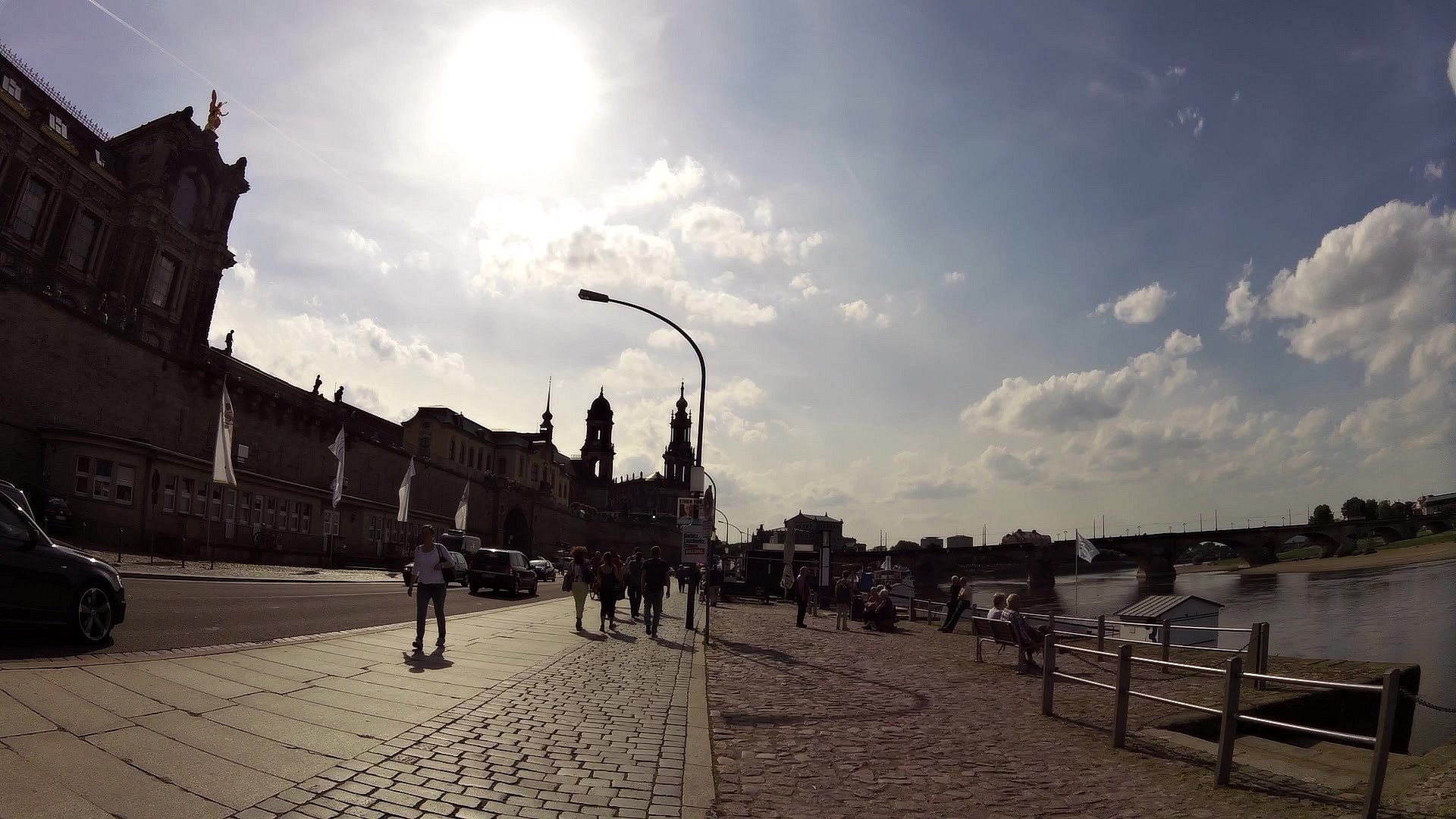
| Brühl's Terrace | map | video | |
| Frauenkirche | map | video | |
| Museum of Transport | map | video | |
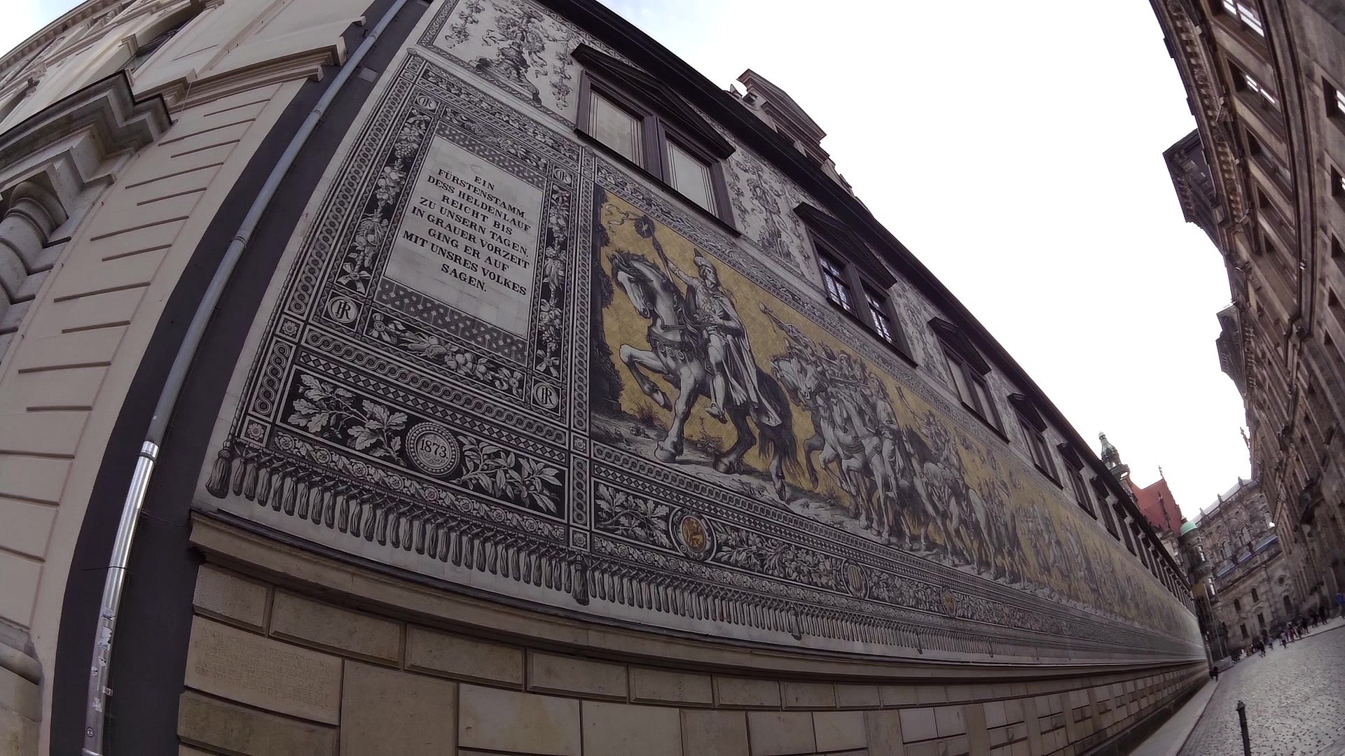
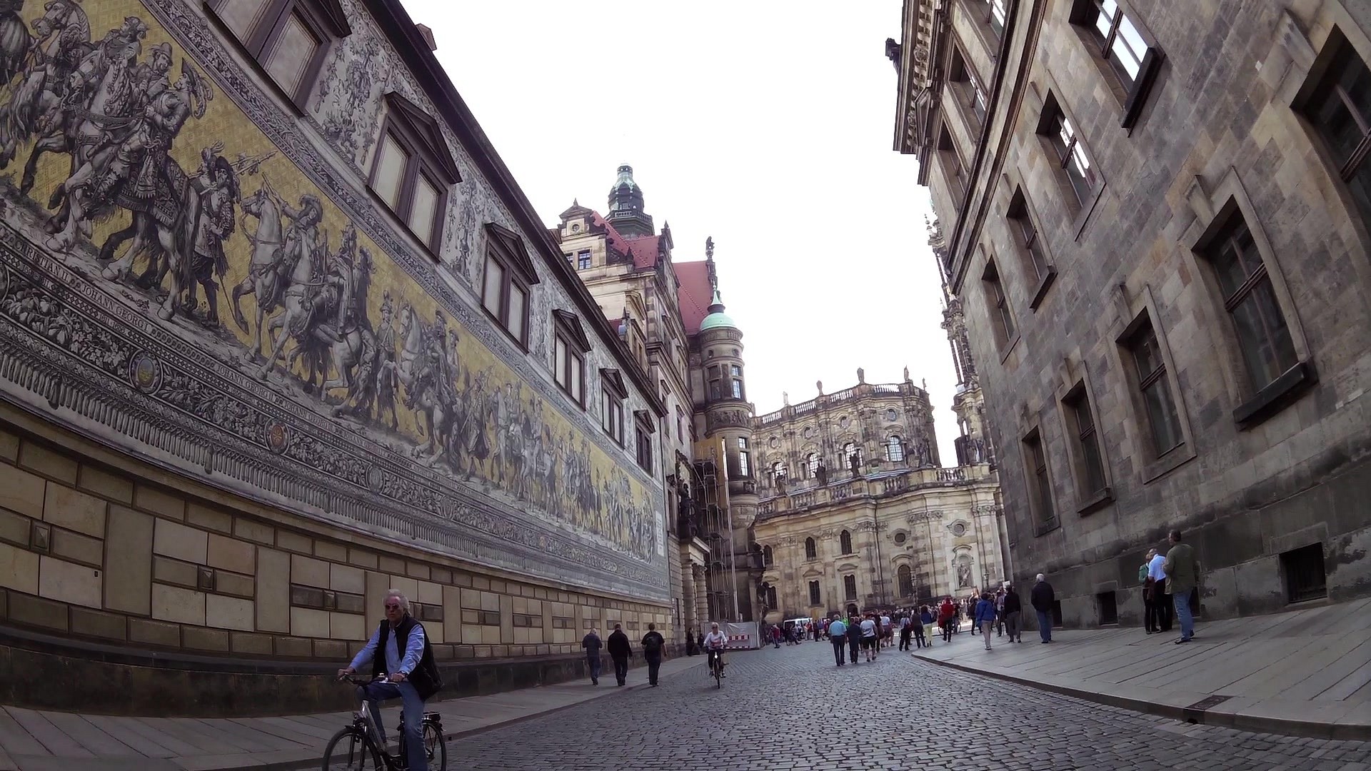
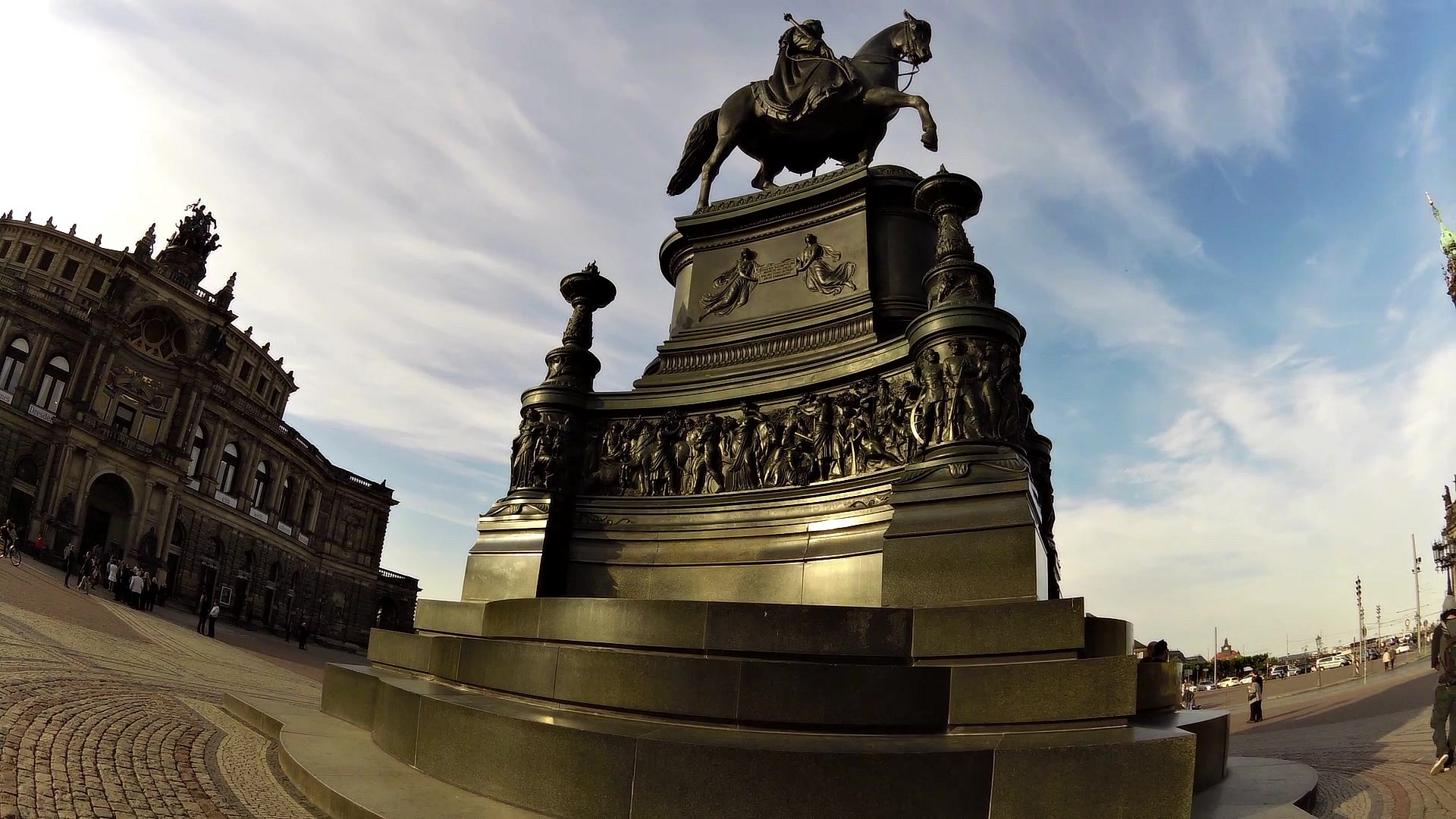
| The Procession of Princes | map | video | |
| Hofkirche | map | video | |
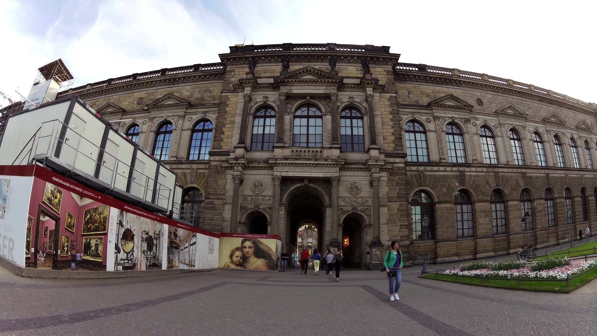
| Semperoper | map | video | |
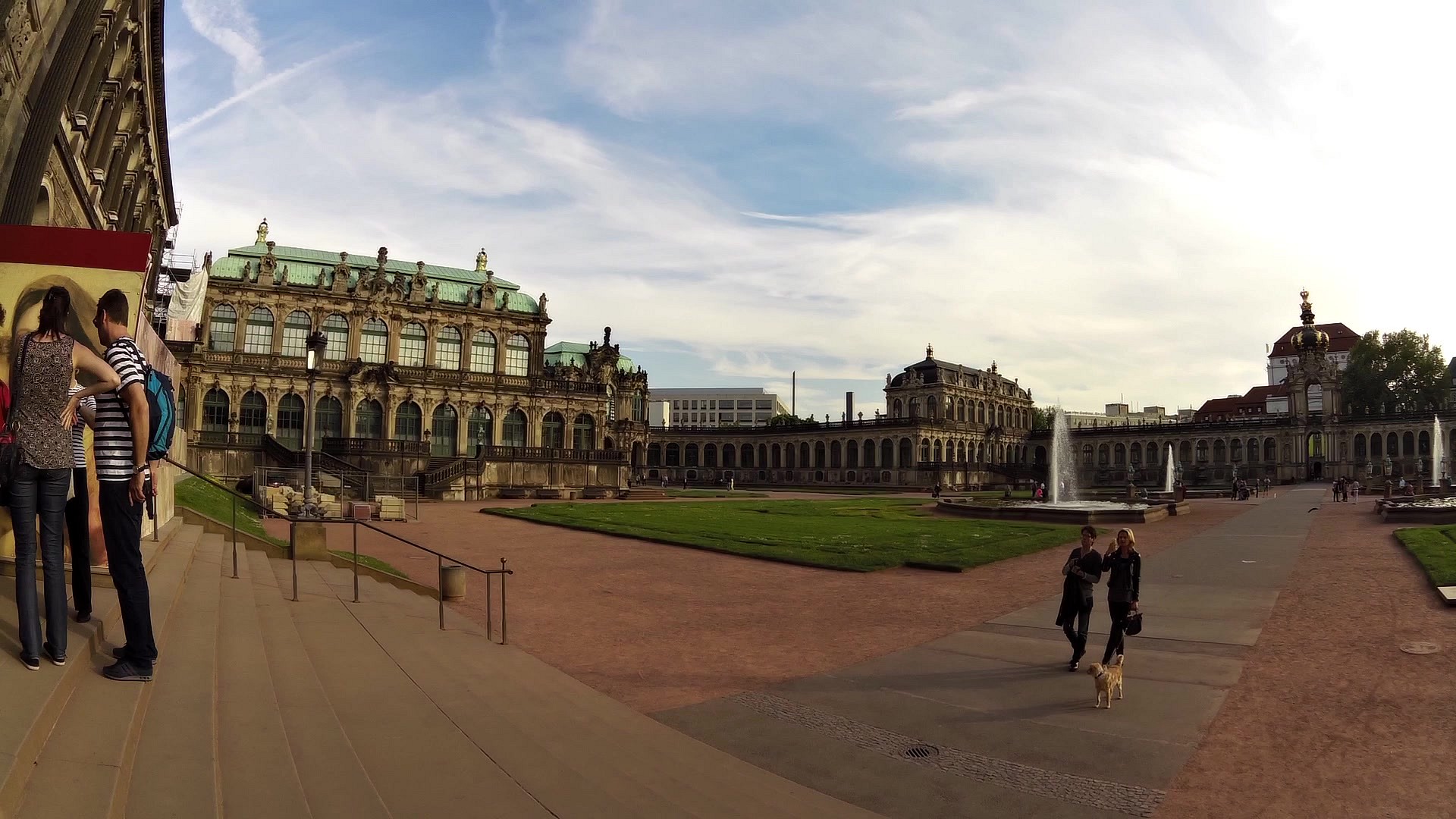
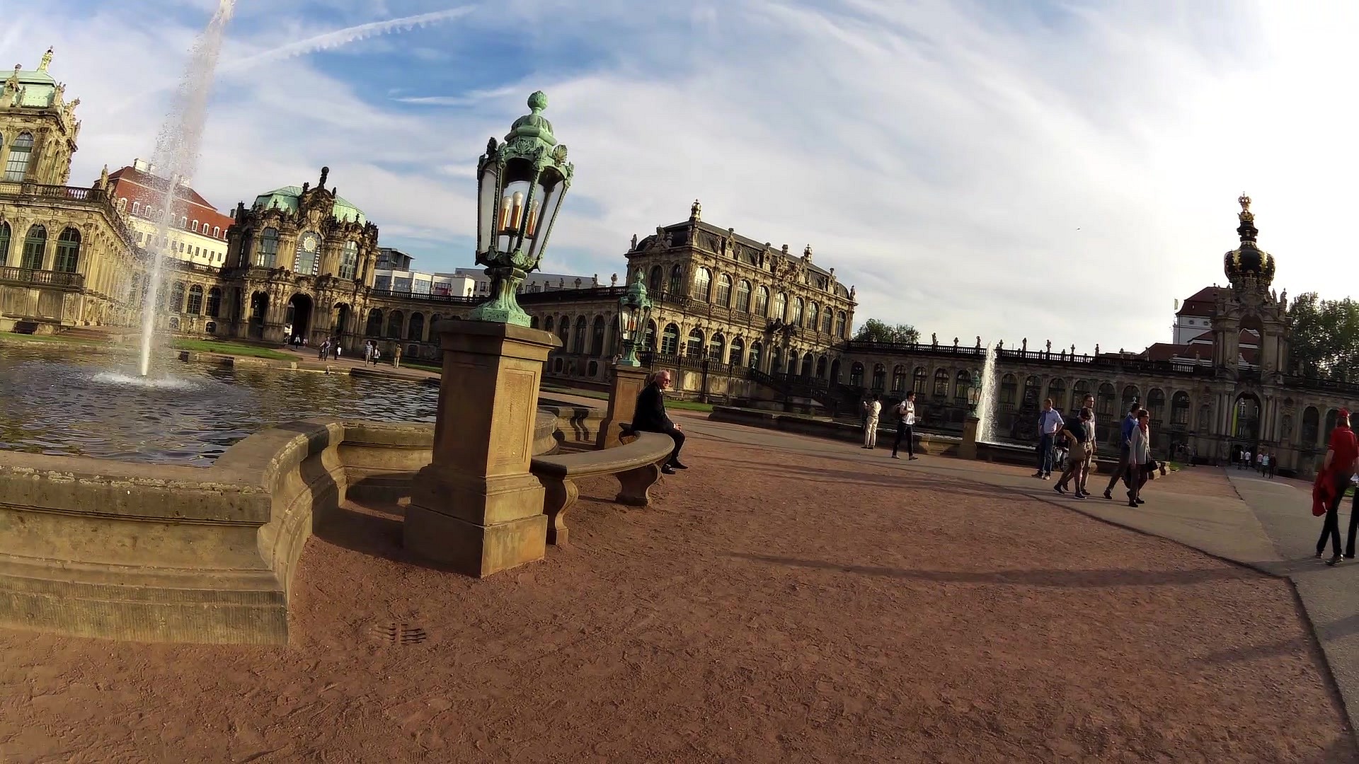
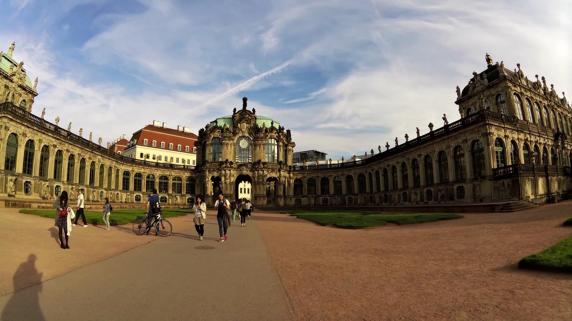
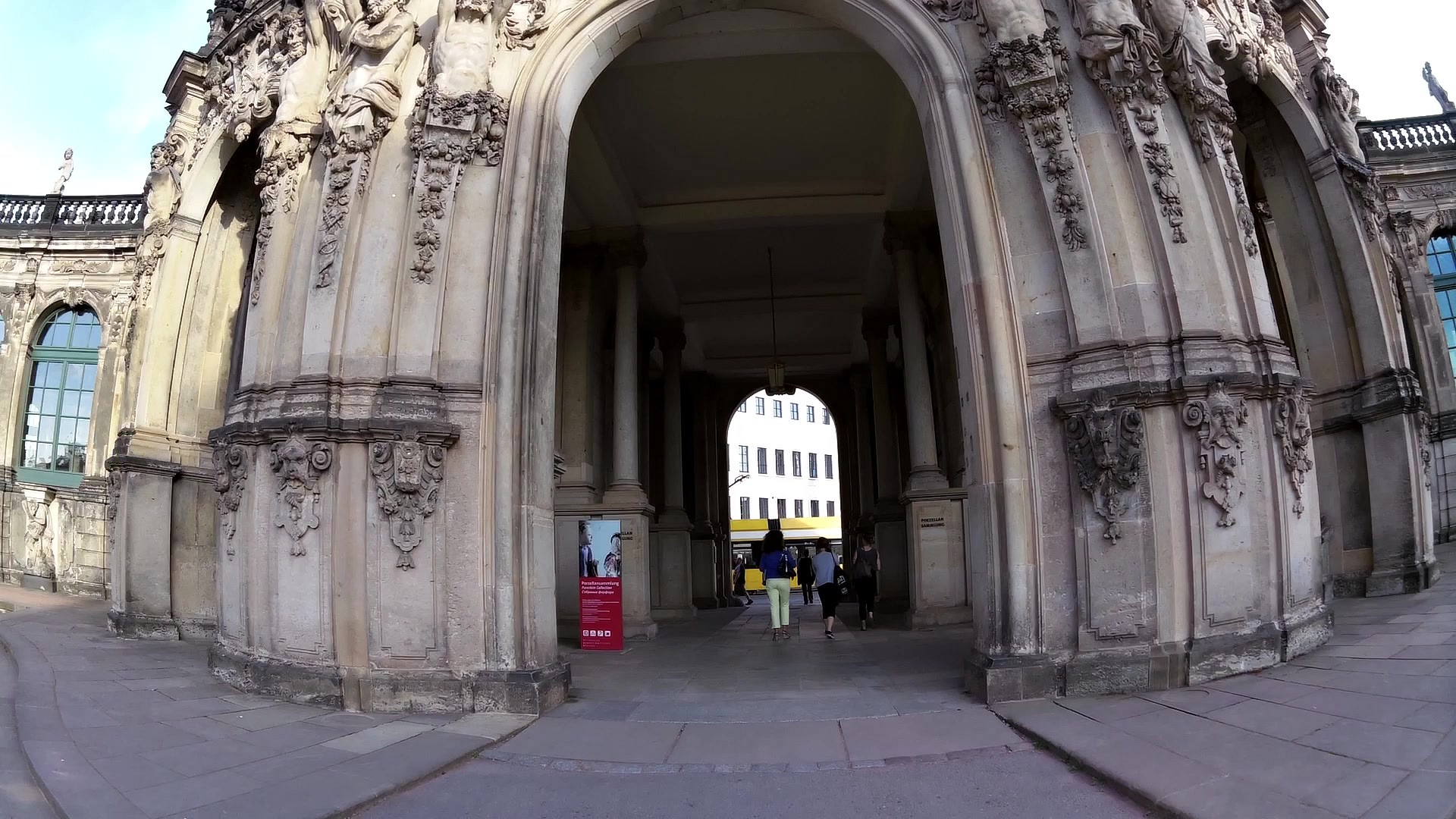
| Zwinger | map | video | |
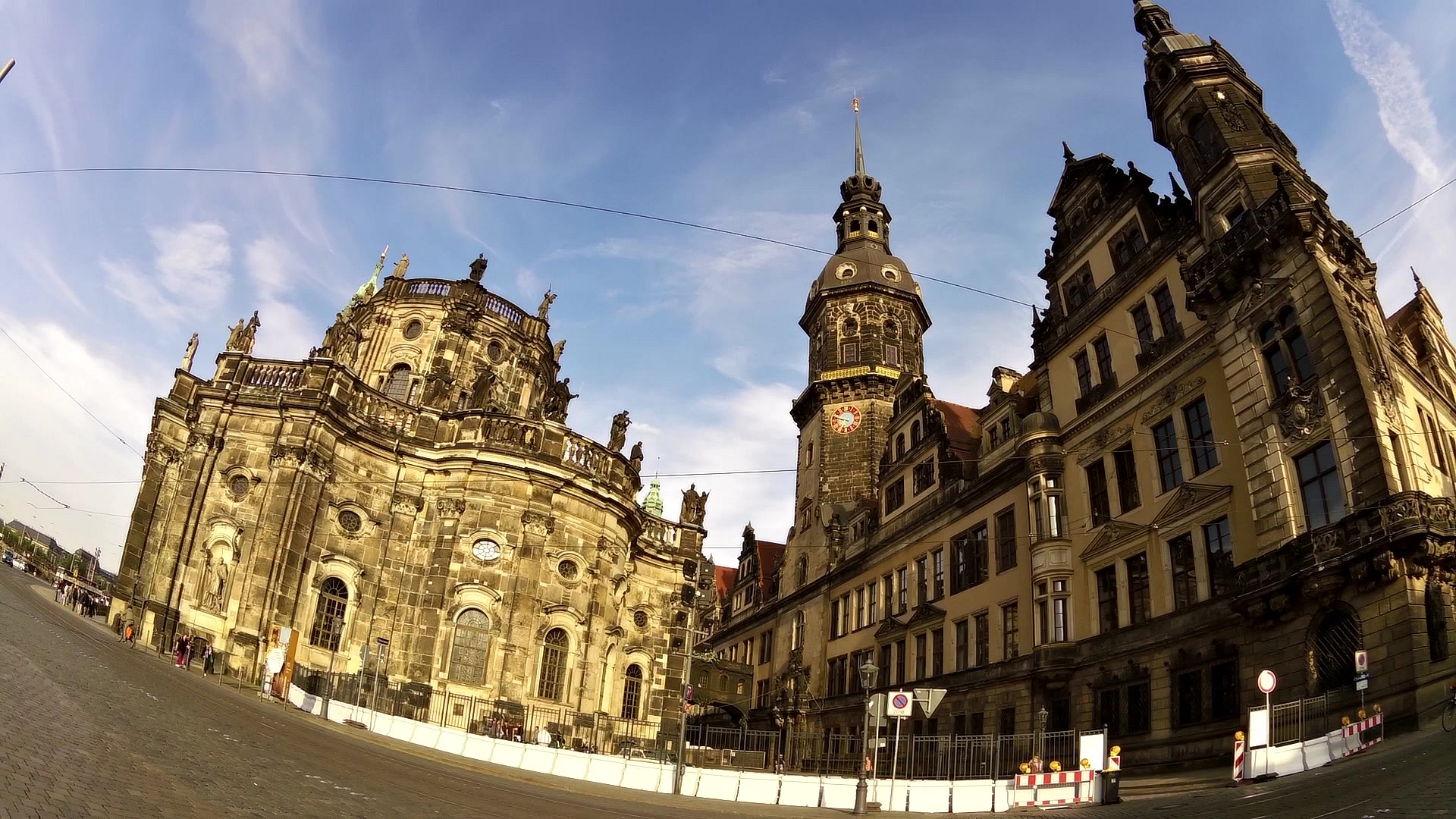
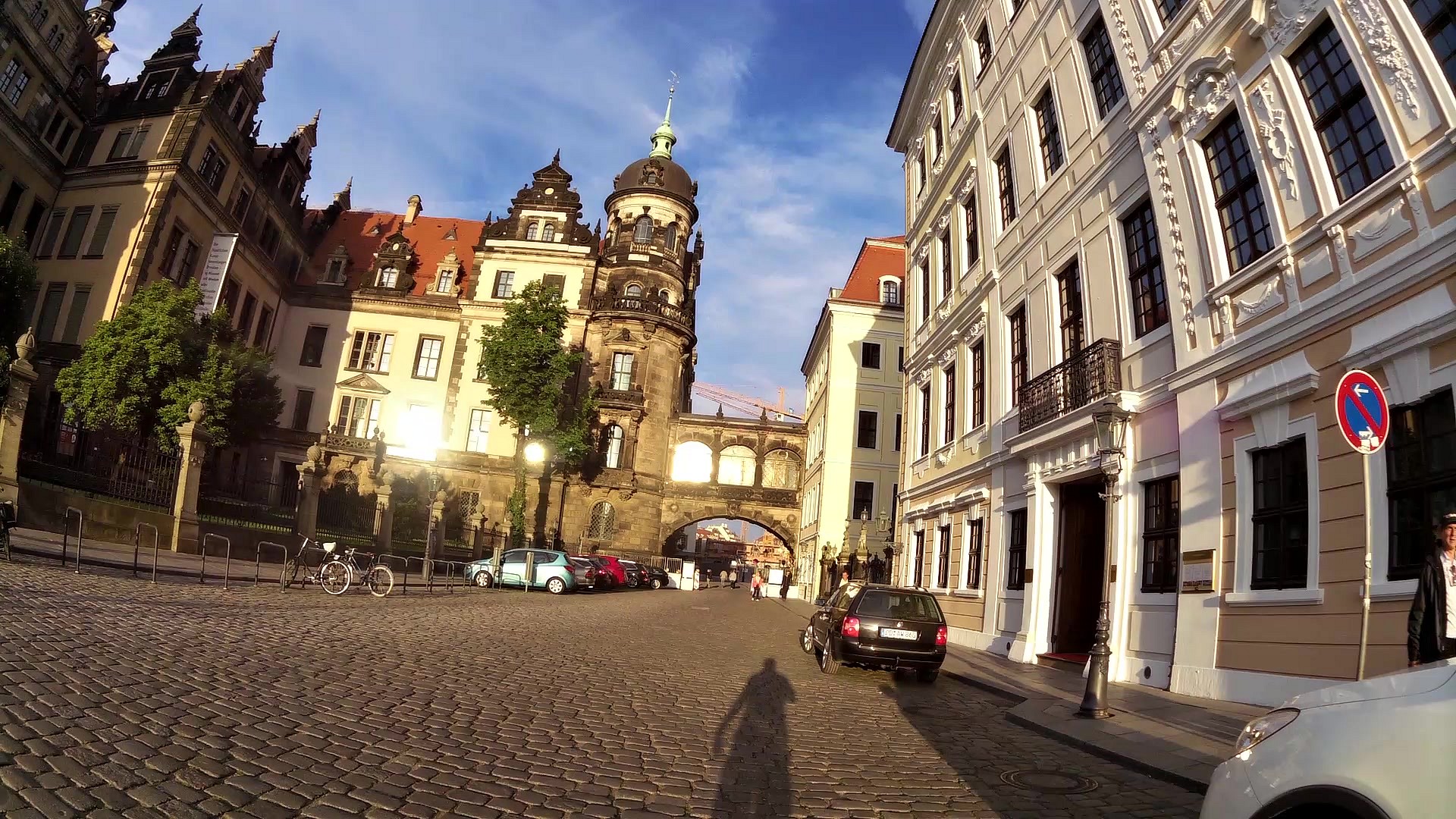
| The Residential castle | map | video | |
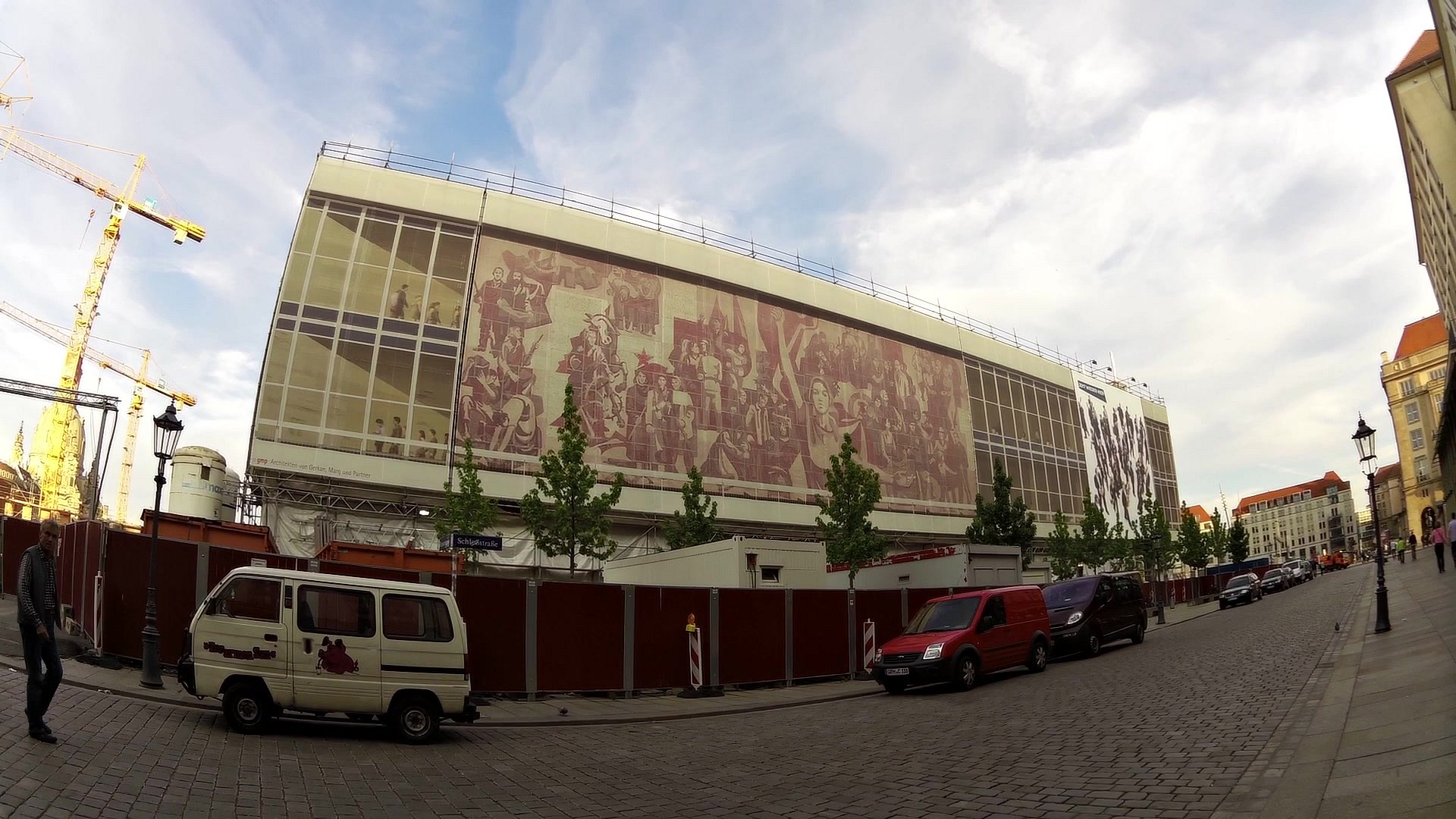
| The mosaic - wayfaring of the red flag | map | video |
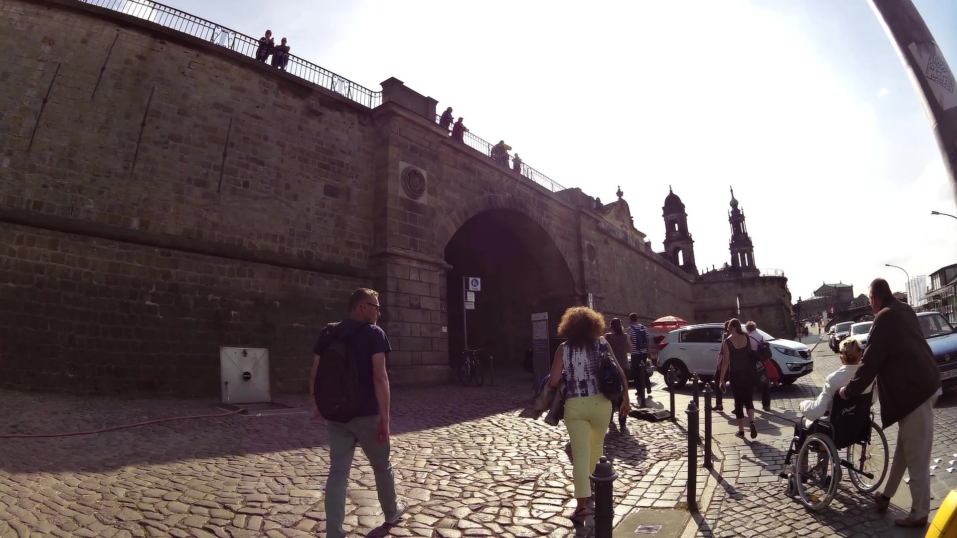
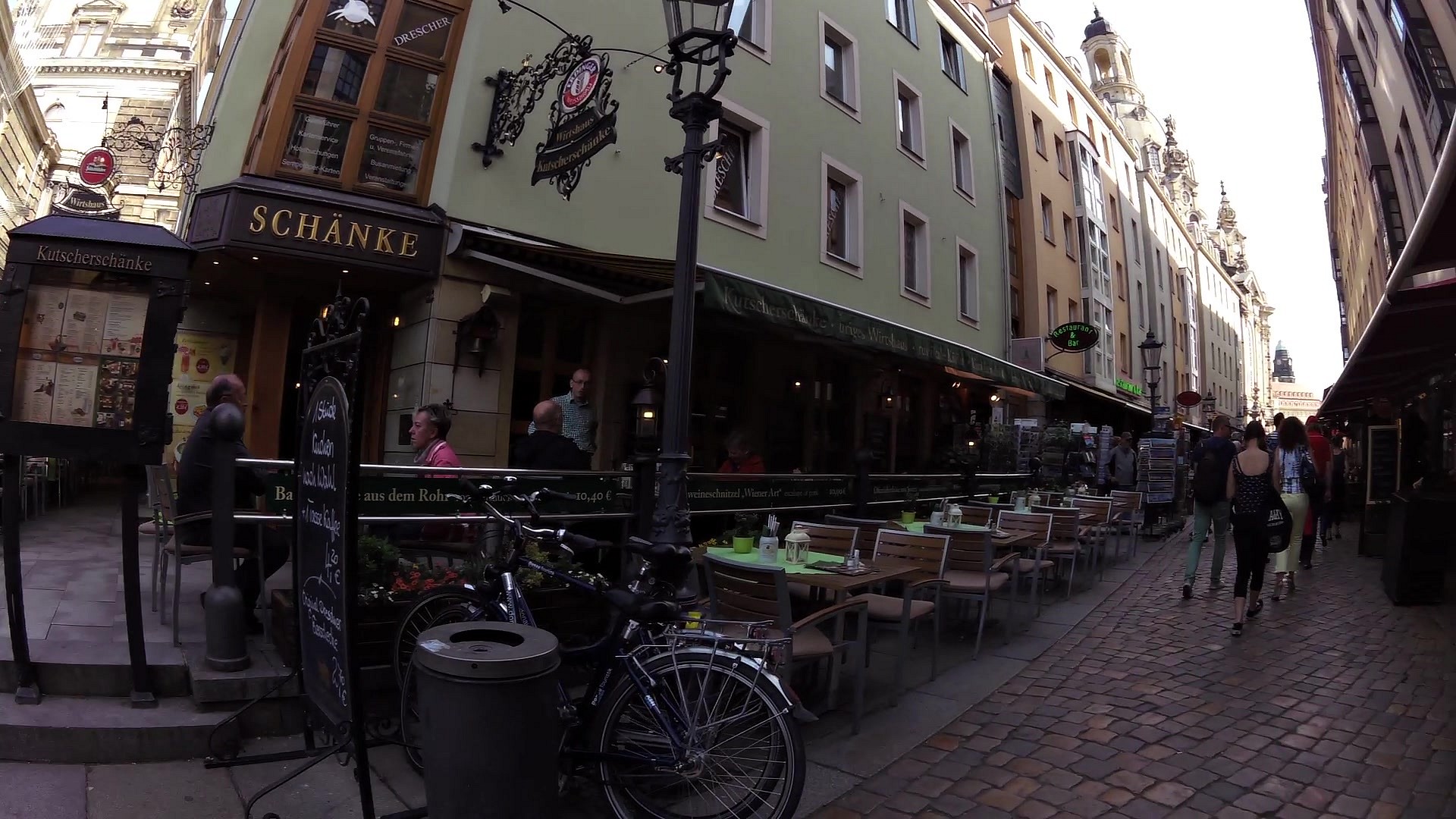
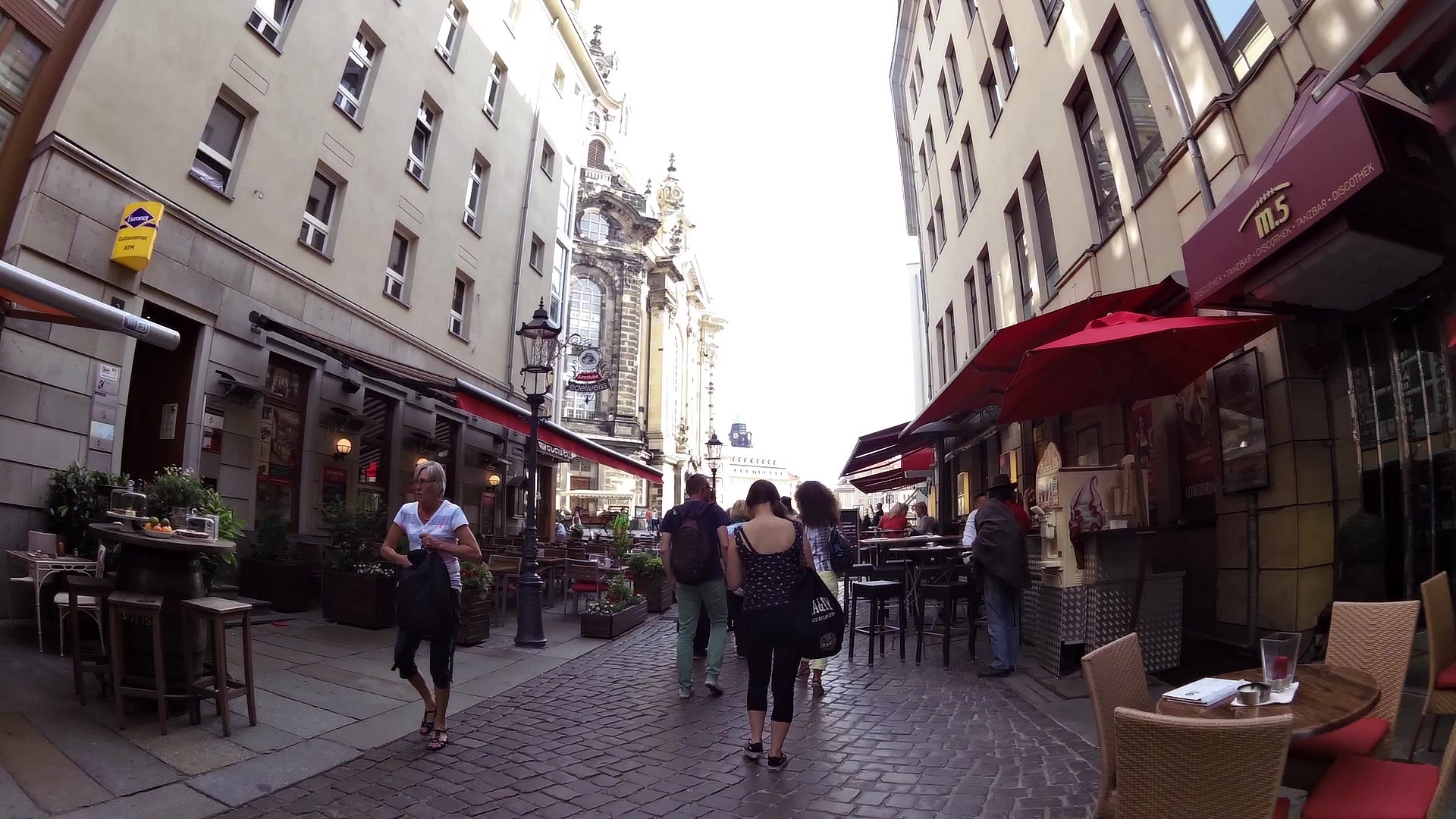
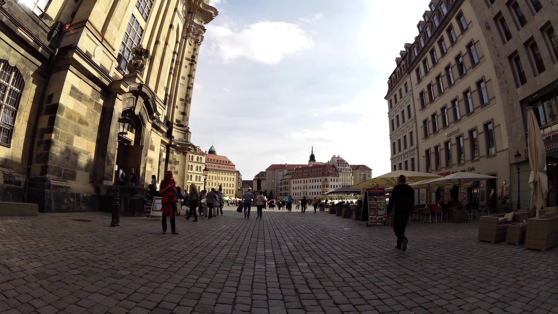
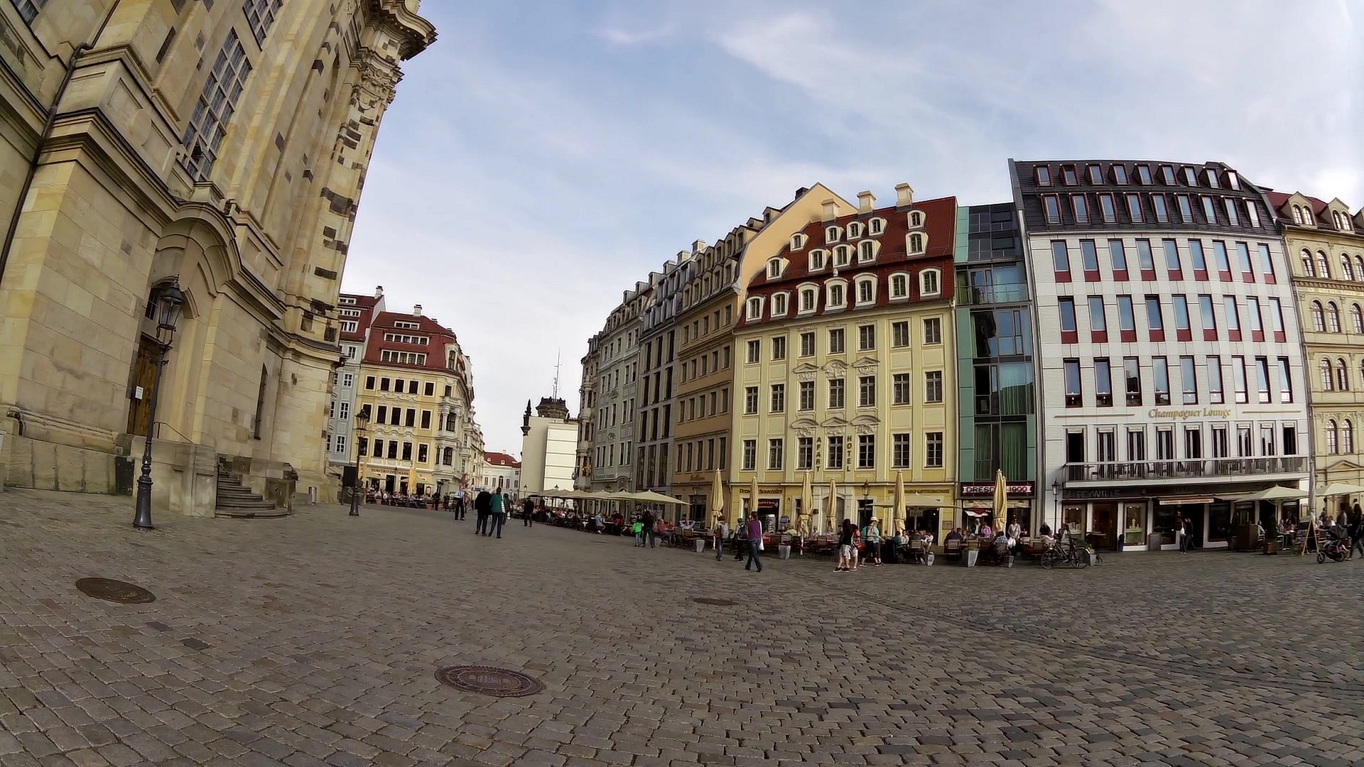
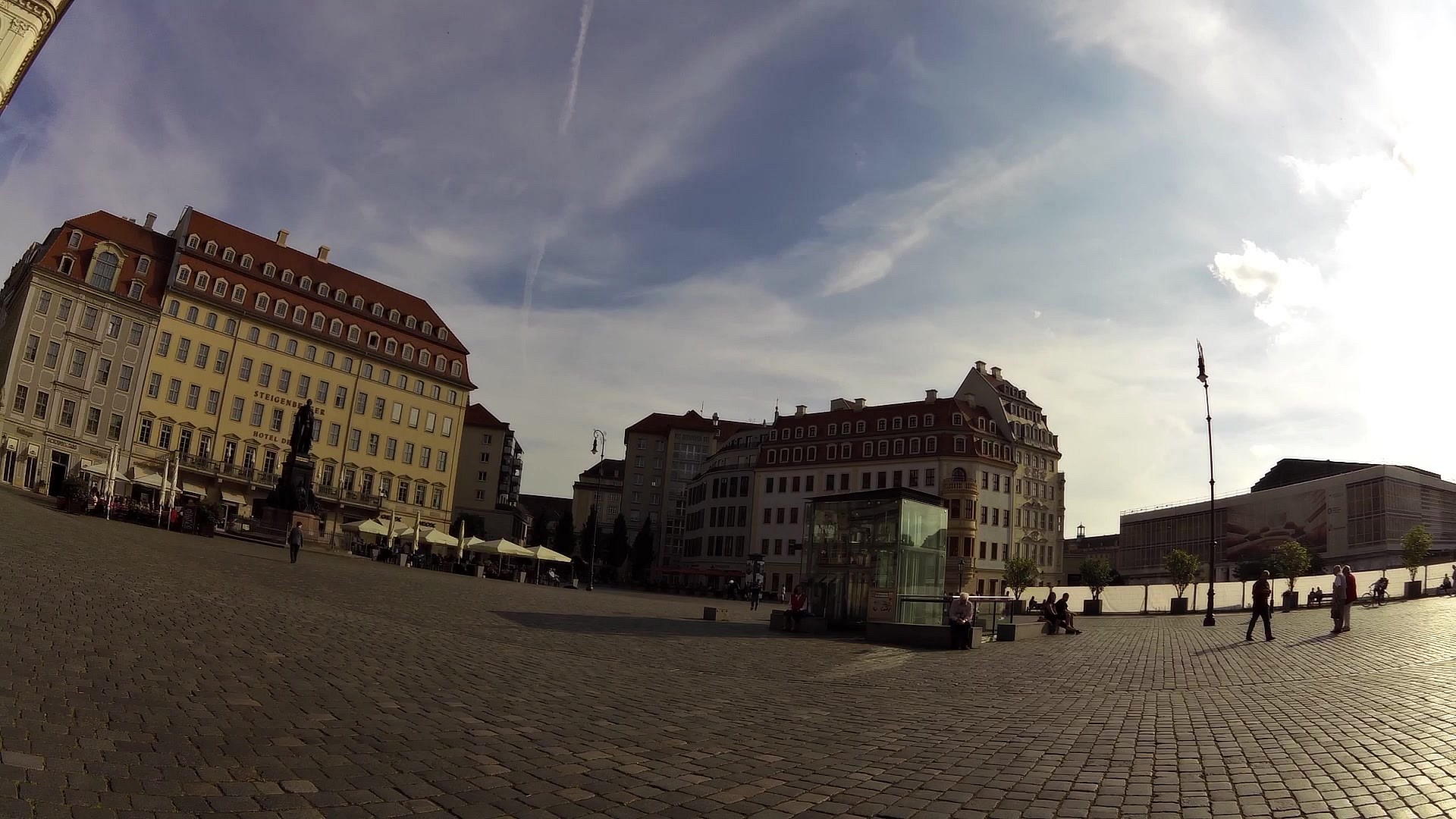
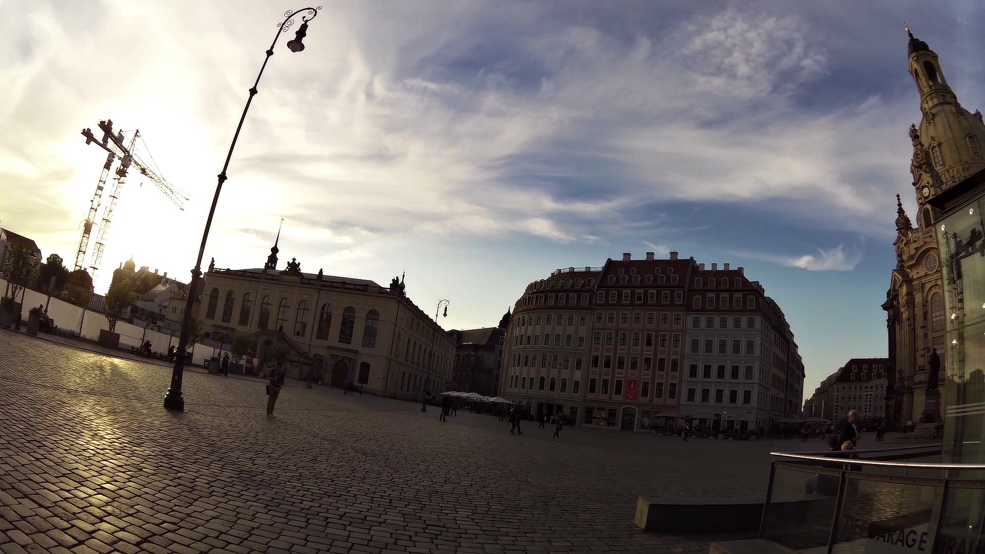
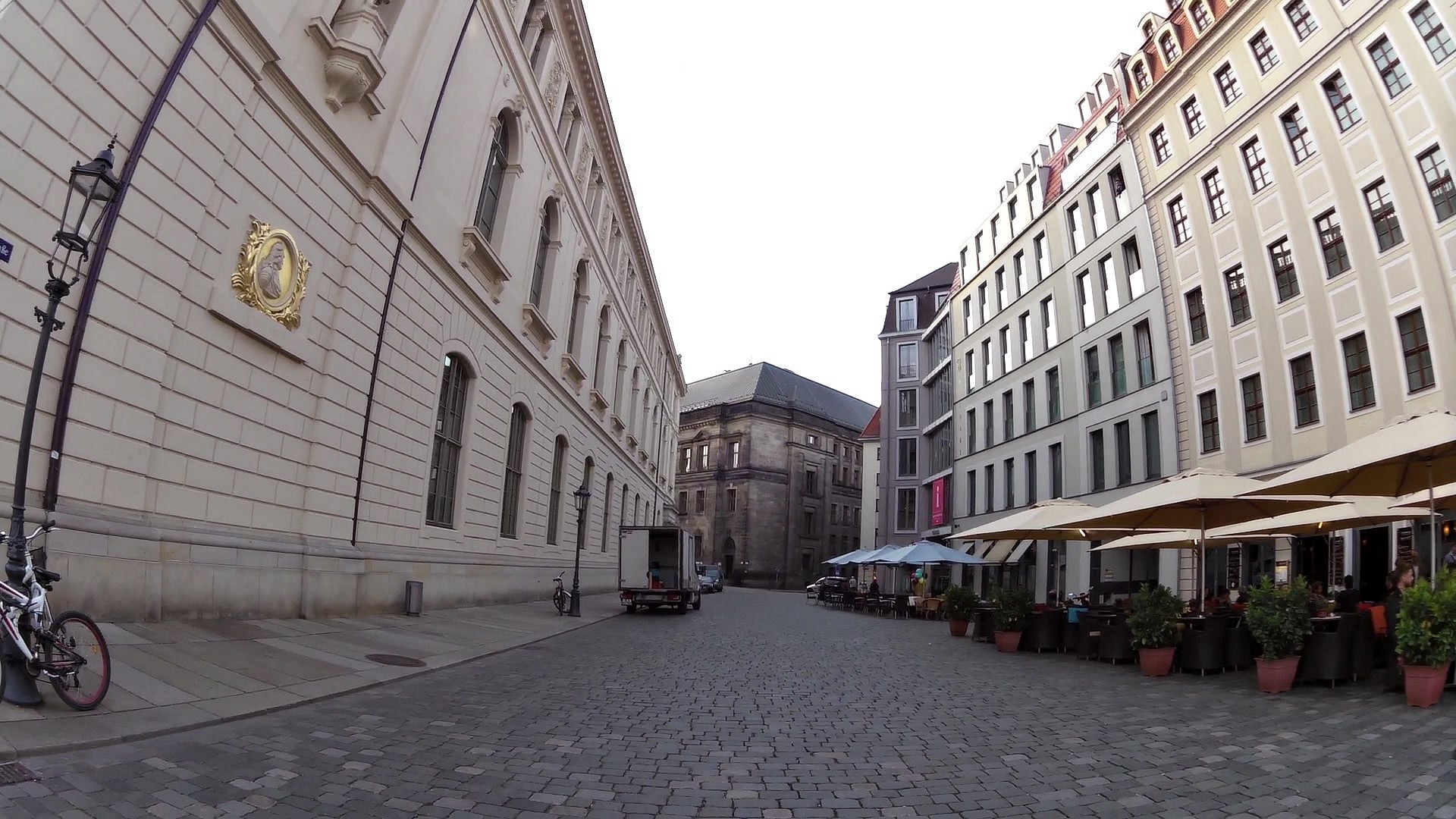
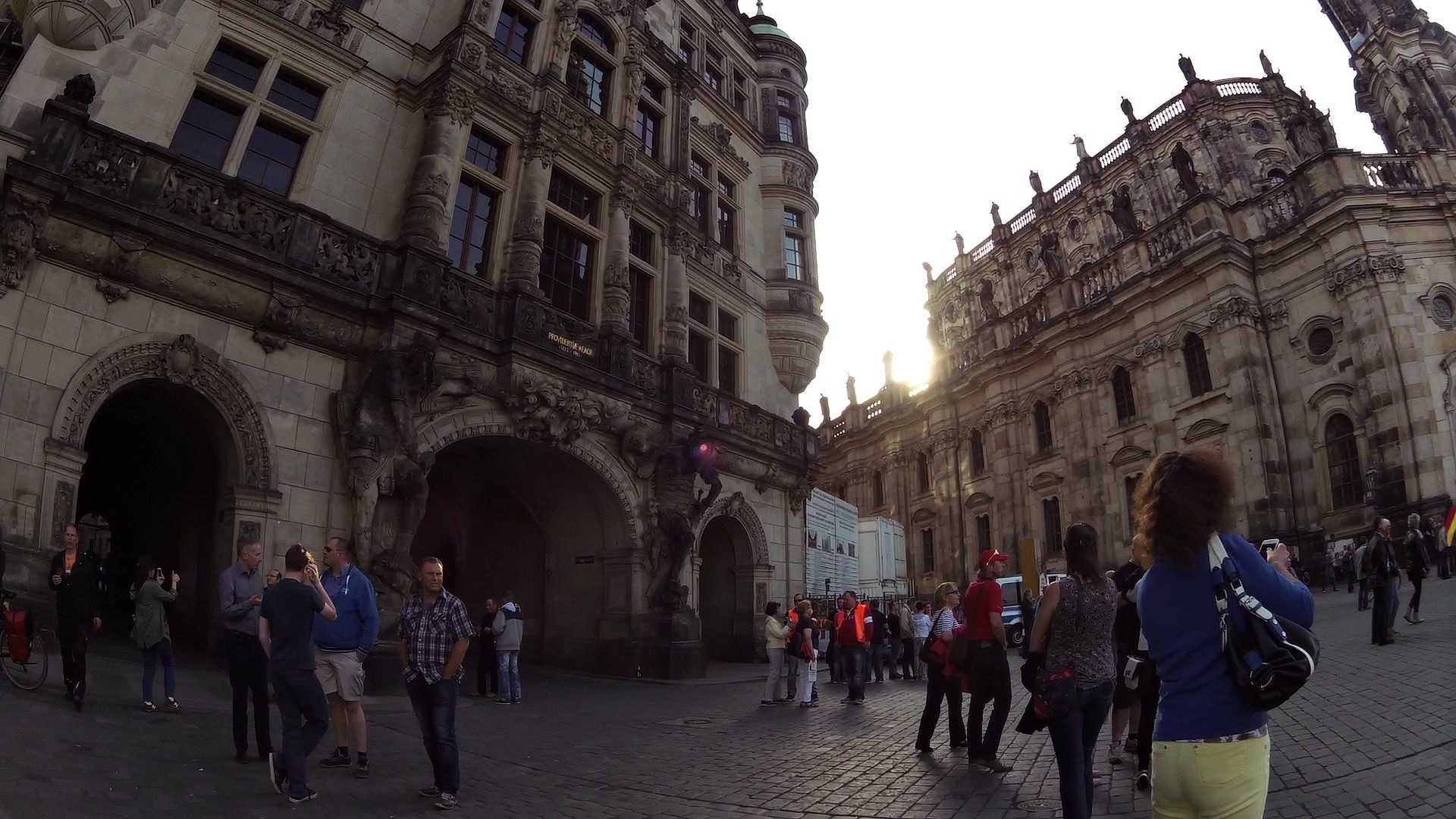
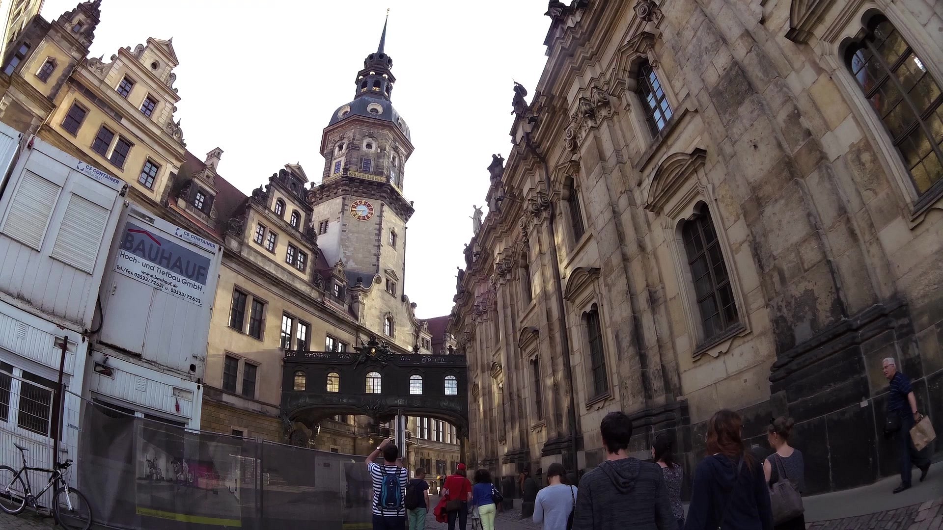
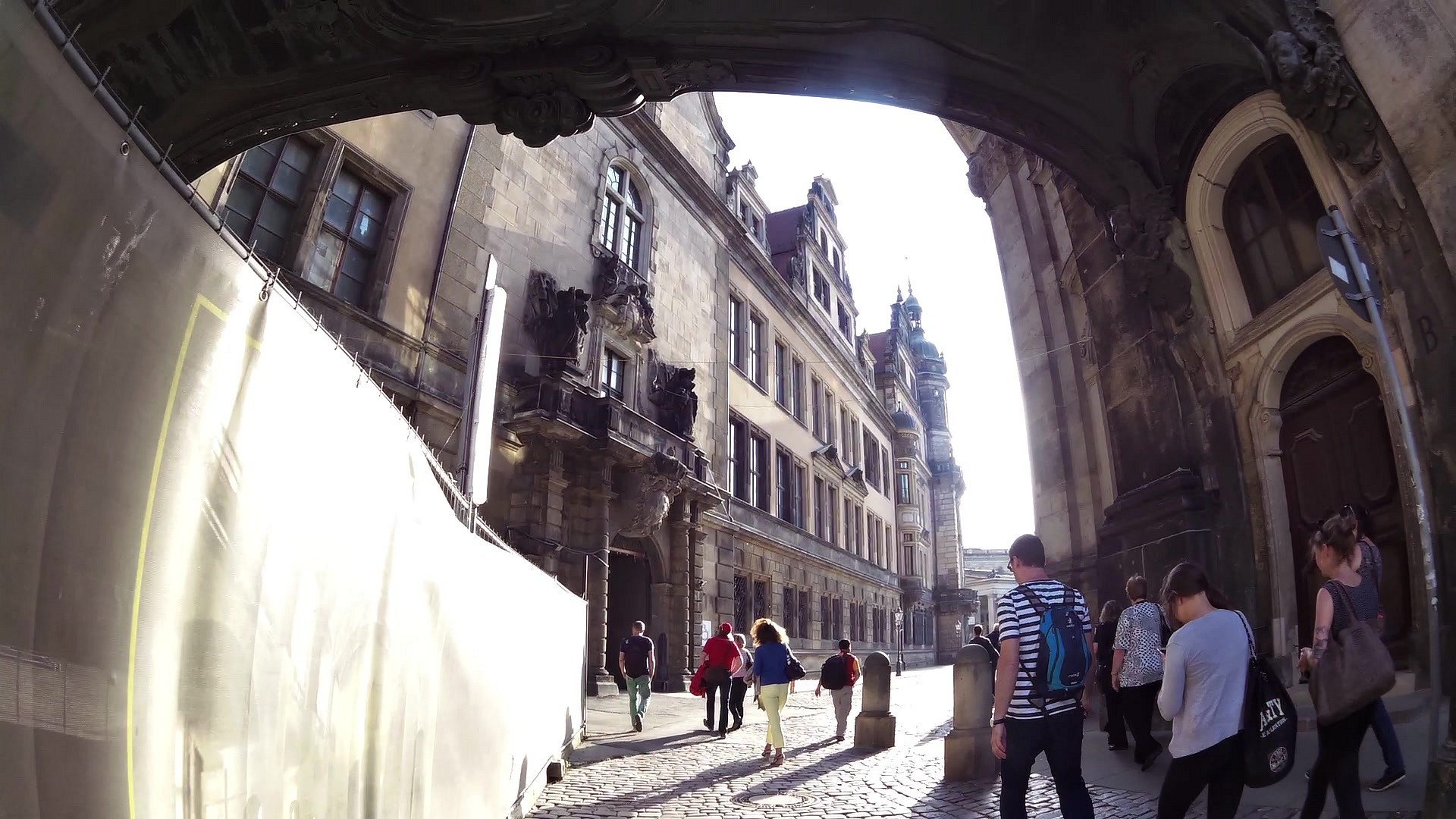
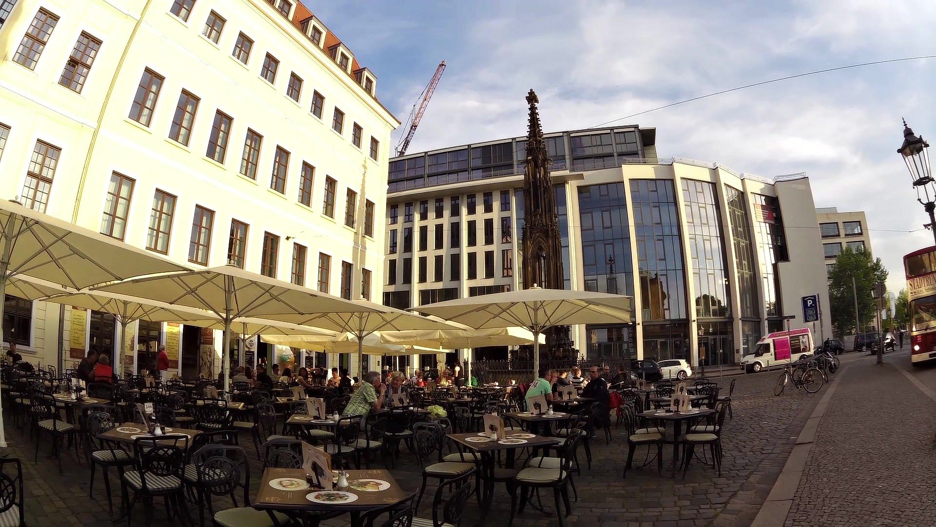
The City of Drážďany (Dresden in German) is situated near the Czech Republic and Poland. The river Labe flows through the town (Elbe in German), so the city is called "Florence on the Elbe". Dresden is the fifth largest city in Germany and the largest city of Saxony. Even though Dresden was almost razed to the ground, during the World War II, we can find many significant monuments here. This is mainly thanks to the subsequent reconstructions. Some of the best known include: the state opera Semperoper, a baroque palace with a Gallery of Fine Arts - the Zwinger, a baroque Frauenkirche church, a Museum of Fine Arts - Albertinum, the Procession of Princes, the Hygiene Museum and others.
For concise information about sights and events in Dresden visit: http://www.drazdany.info/
See also a video-route of a cruise on the steamboat on the river Elbe:
The river Elbe on wheeled steamboat


![]() Back to the list of videoroutes
Back to the list of videoroutes


")


