like:
type:
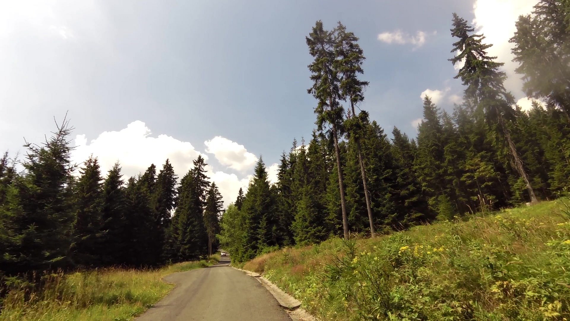
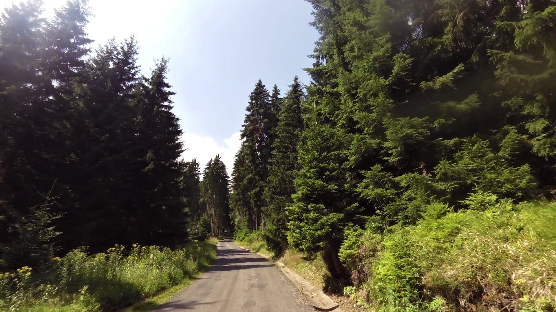
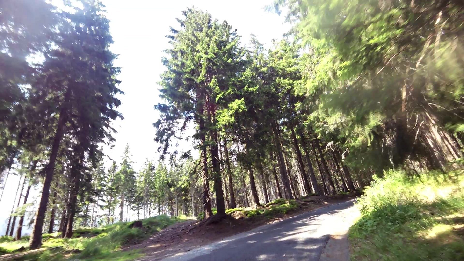
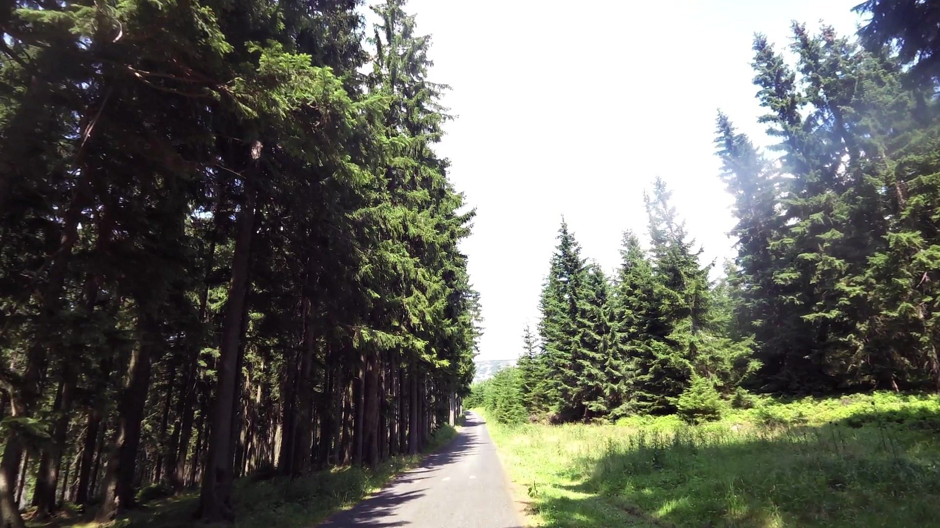
Walking tour
difficulty:
Intermediate
length:
4.79km
total elevation:
530.60m
total descent:
2.70m
navigation:

| 0.00km from start |
4.79km to finish |
m elevation |
0m total elevation |
0m total descent |
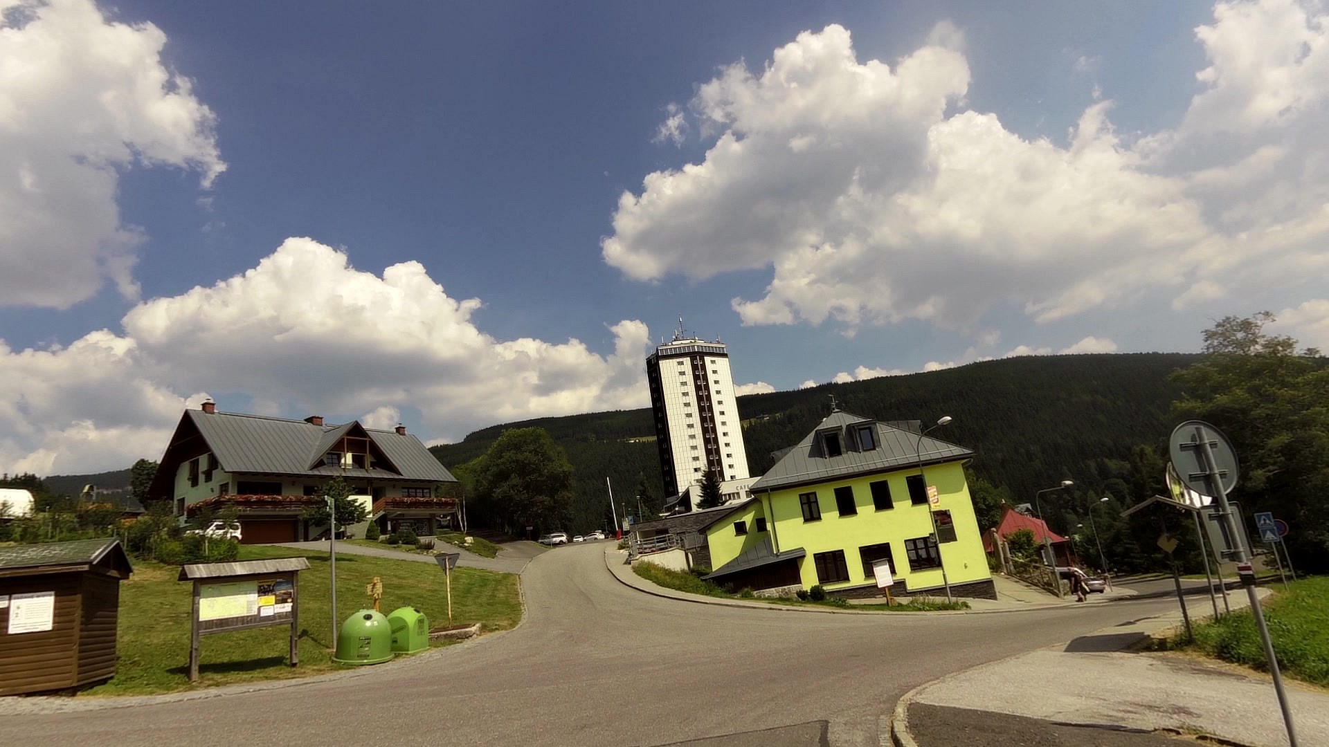
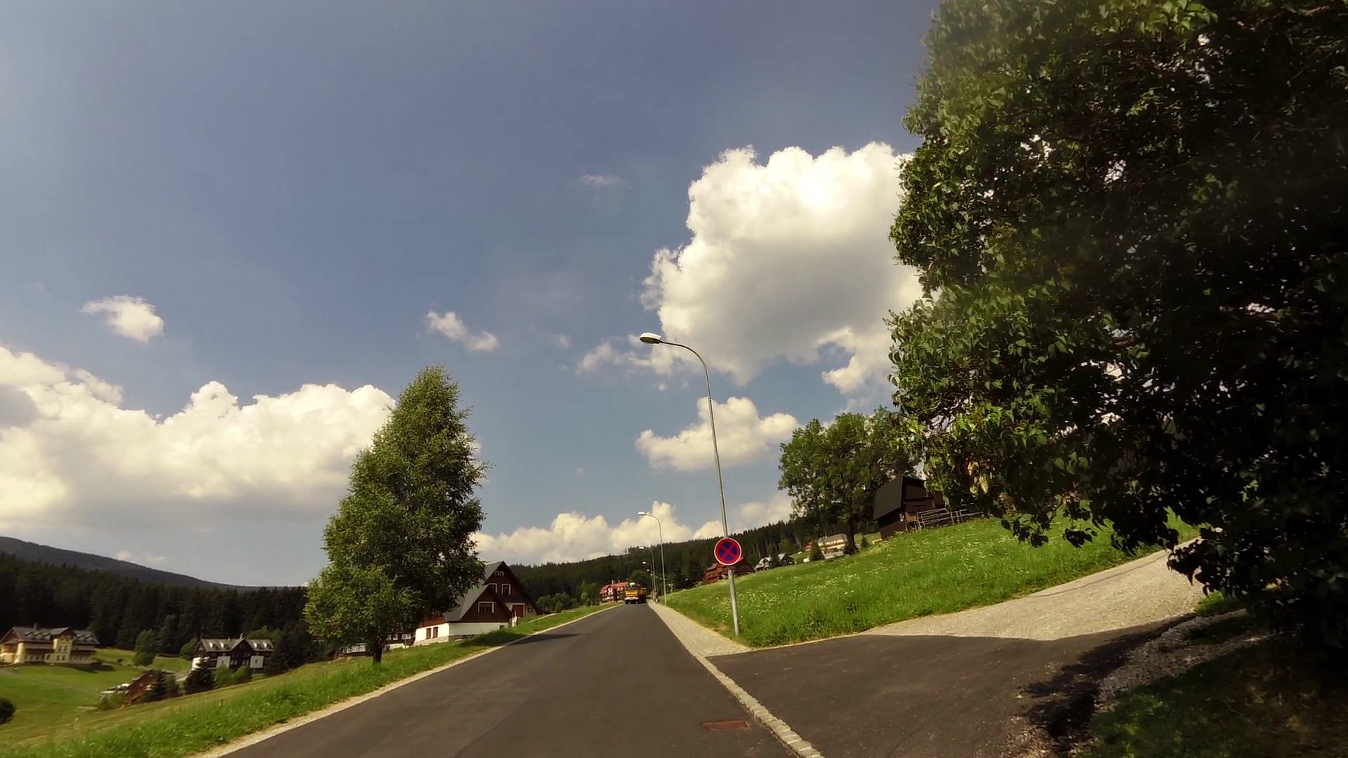
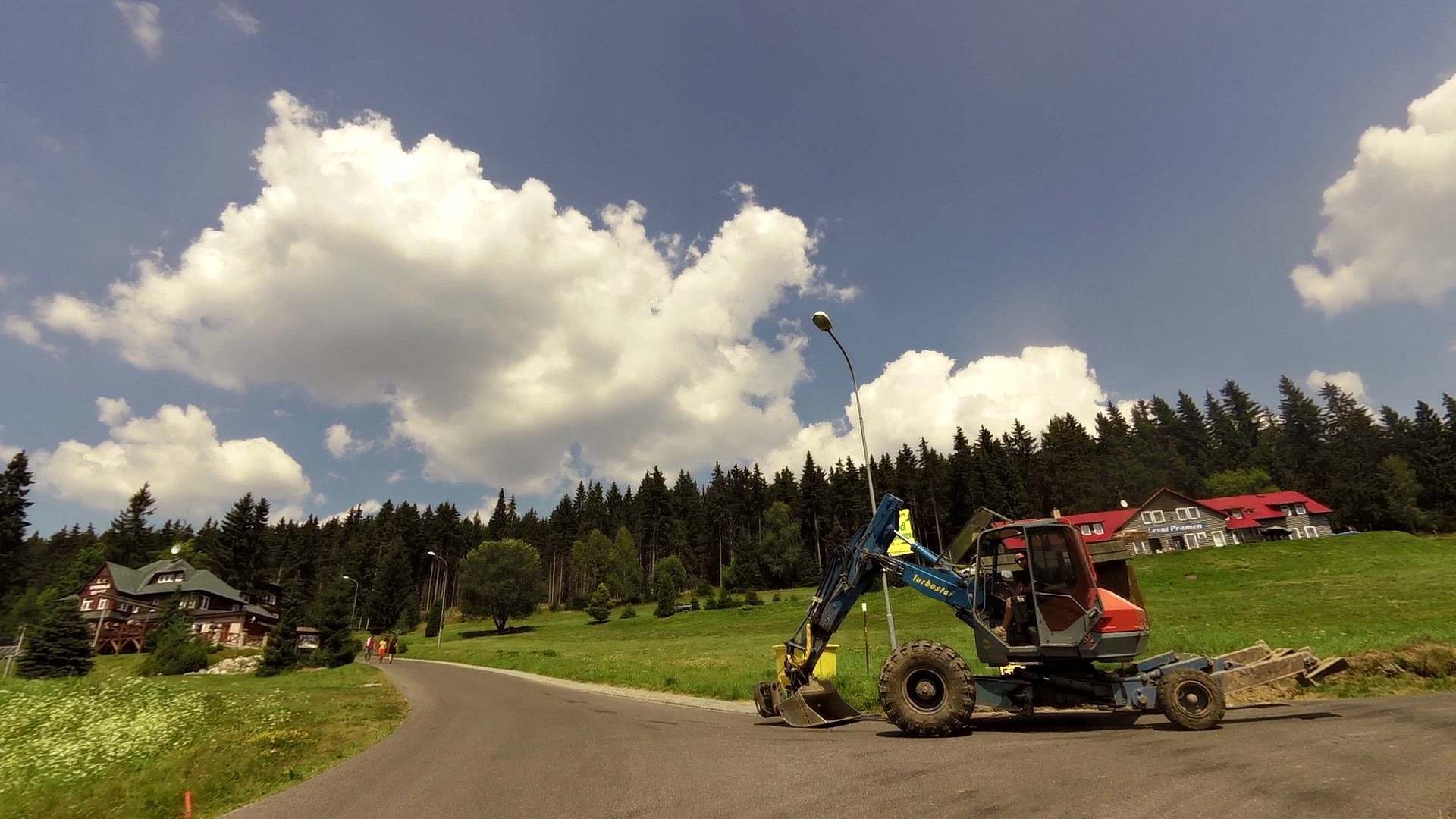
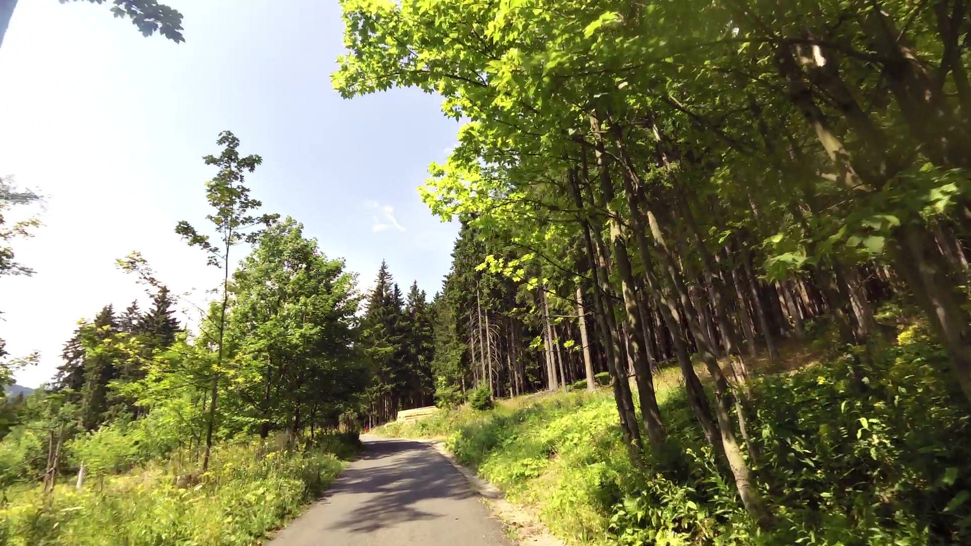
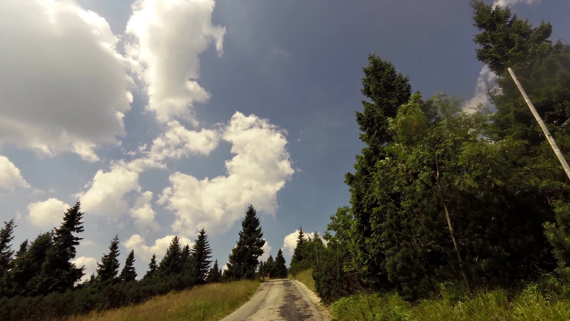
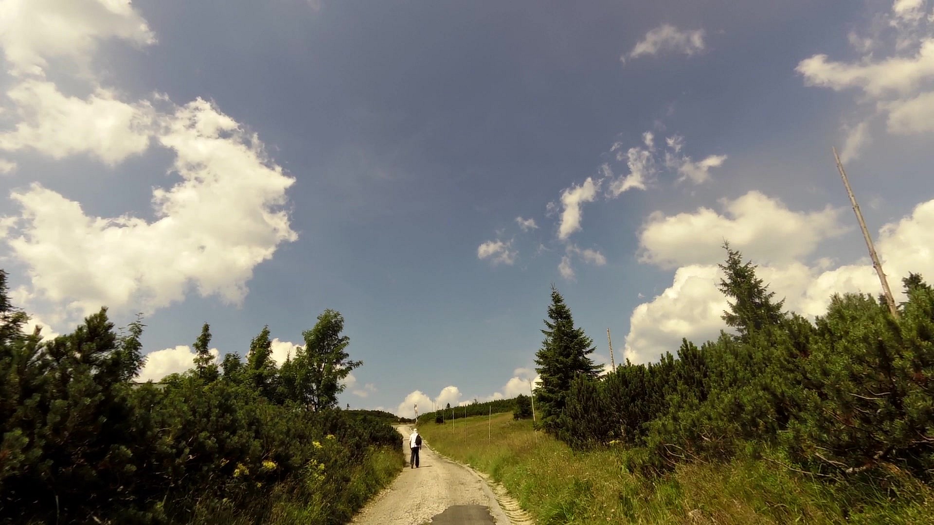
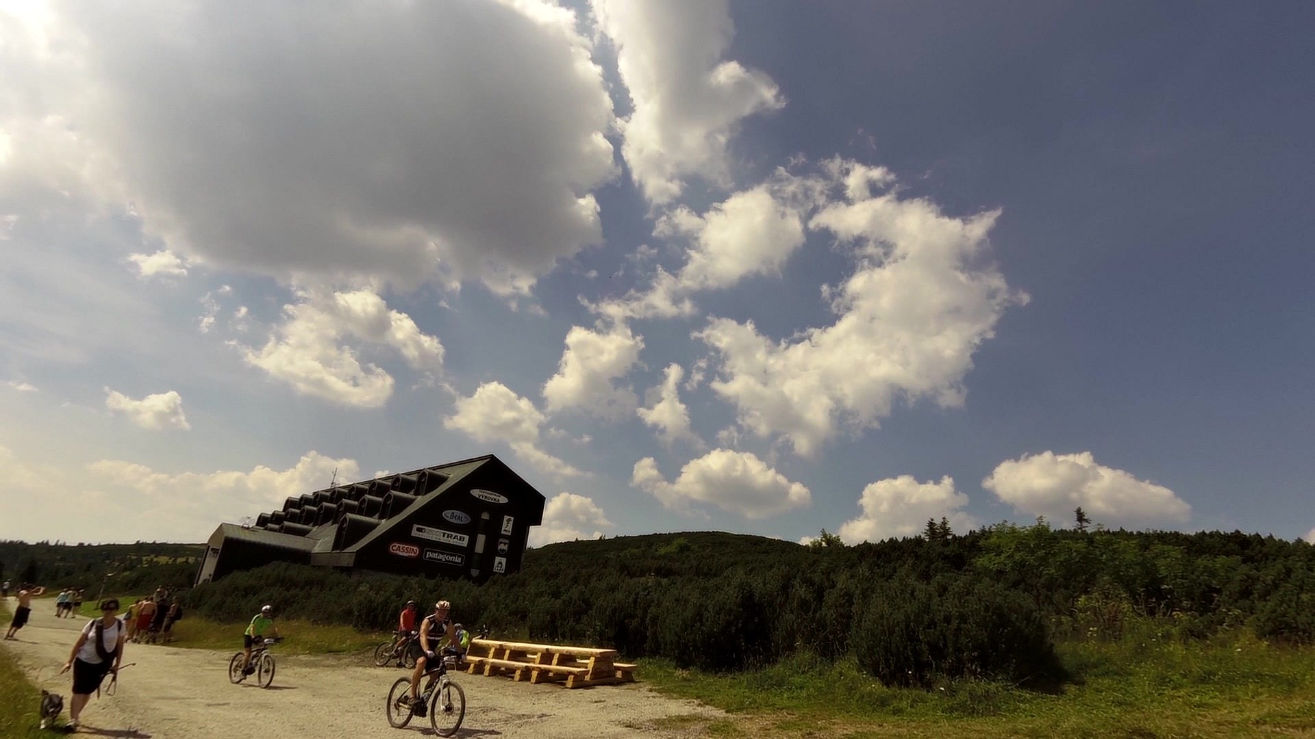
| Pec pod Sněžkou | map | video | |
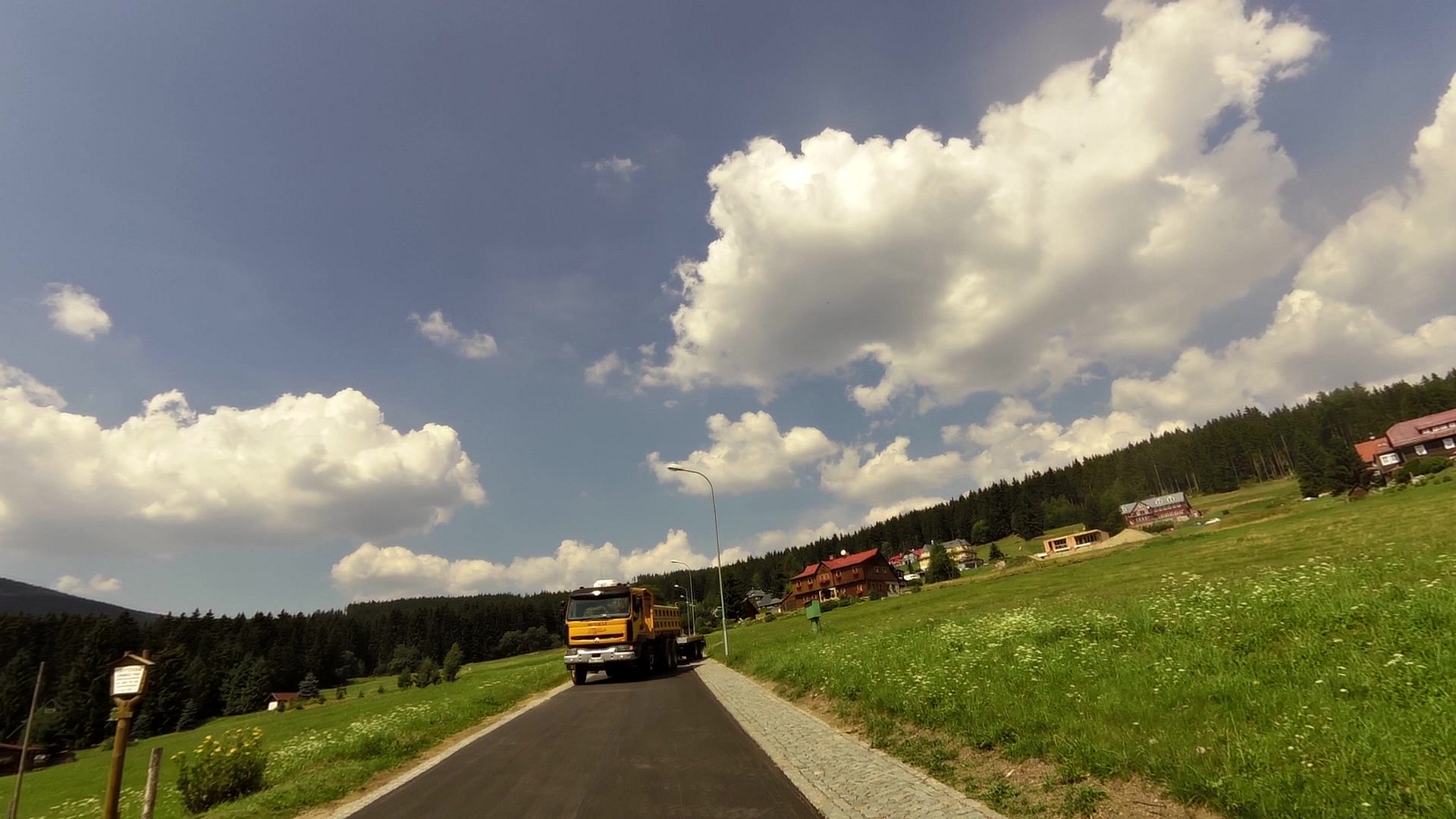
| Richtrovy Boudy | map | video | |
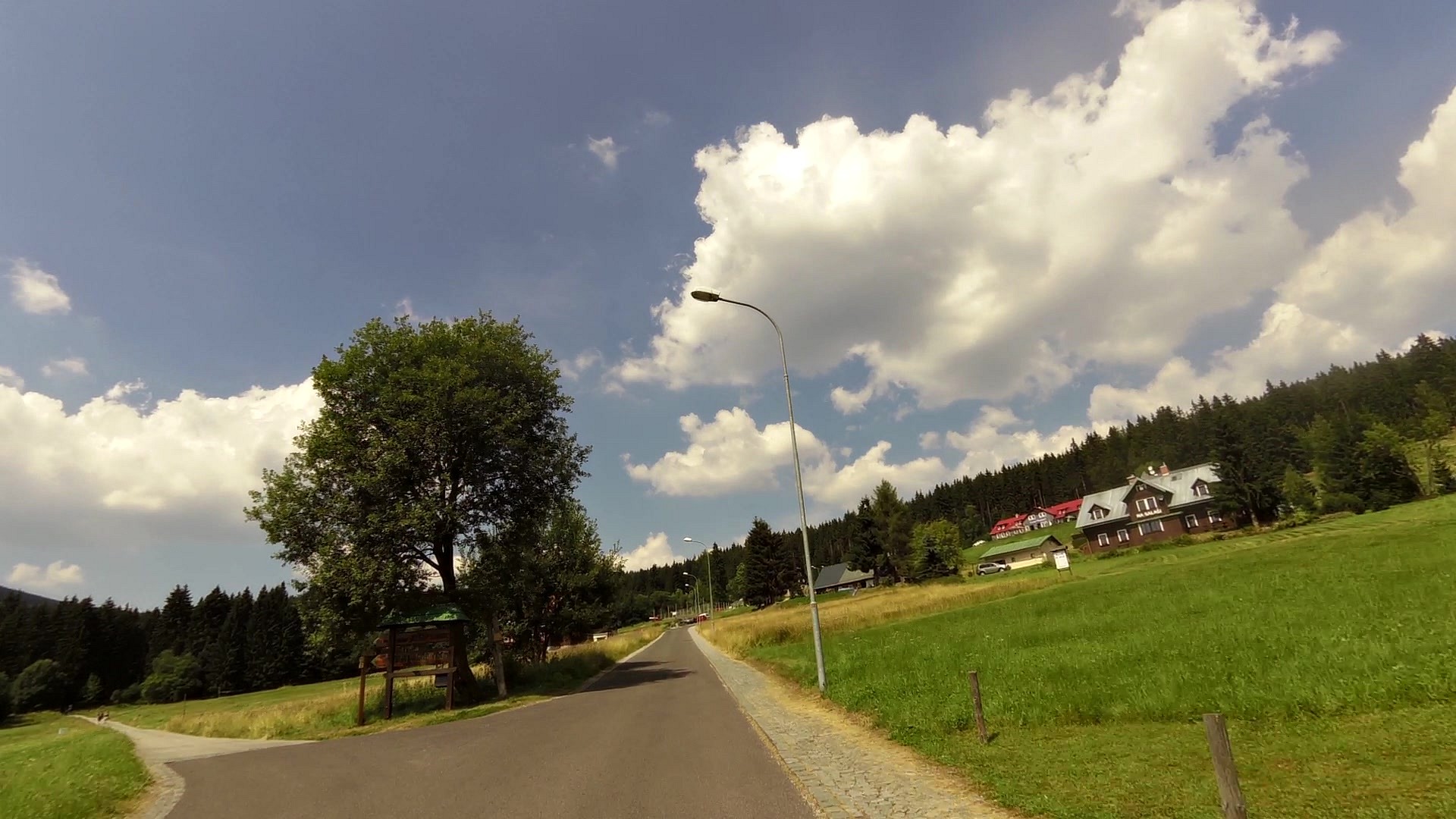
| Výrovka (cottage) | map | video |


![]() Back to the list of videoroutes
Back to the list of videoroutes


")


