like:
type:
Cycling
difficulty:
Easy
length:
15.66km
total elevation:
126.70m
total descent:
121.60m
navigation:

| 0.00km from start |
15.66km to finish |
m elevation |
0m total elevation |
0m total descent |
| Castle Světlá nad Sázavou | map | video | |
| A memorial of A.B.Svojsík and Jiří Wolker | map | video | |
| The memorial plaque of Jaroslav Hašek | map | video | |
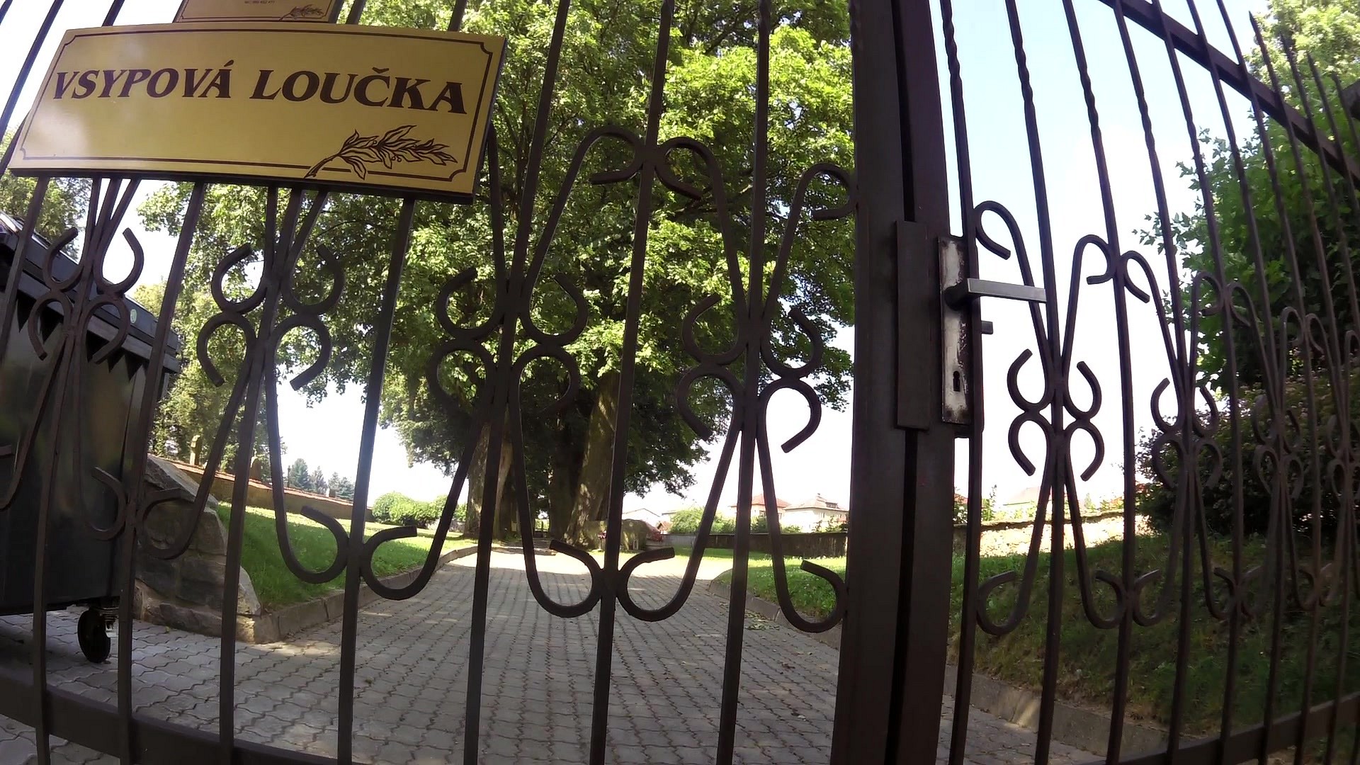
| Jewish cemetery | map | video | |
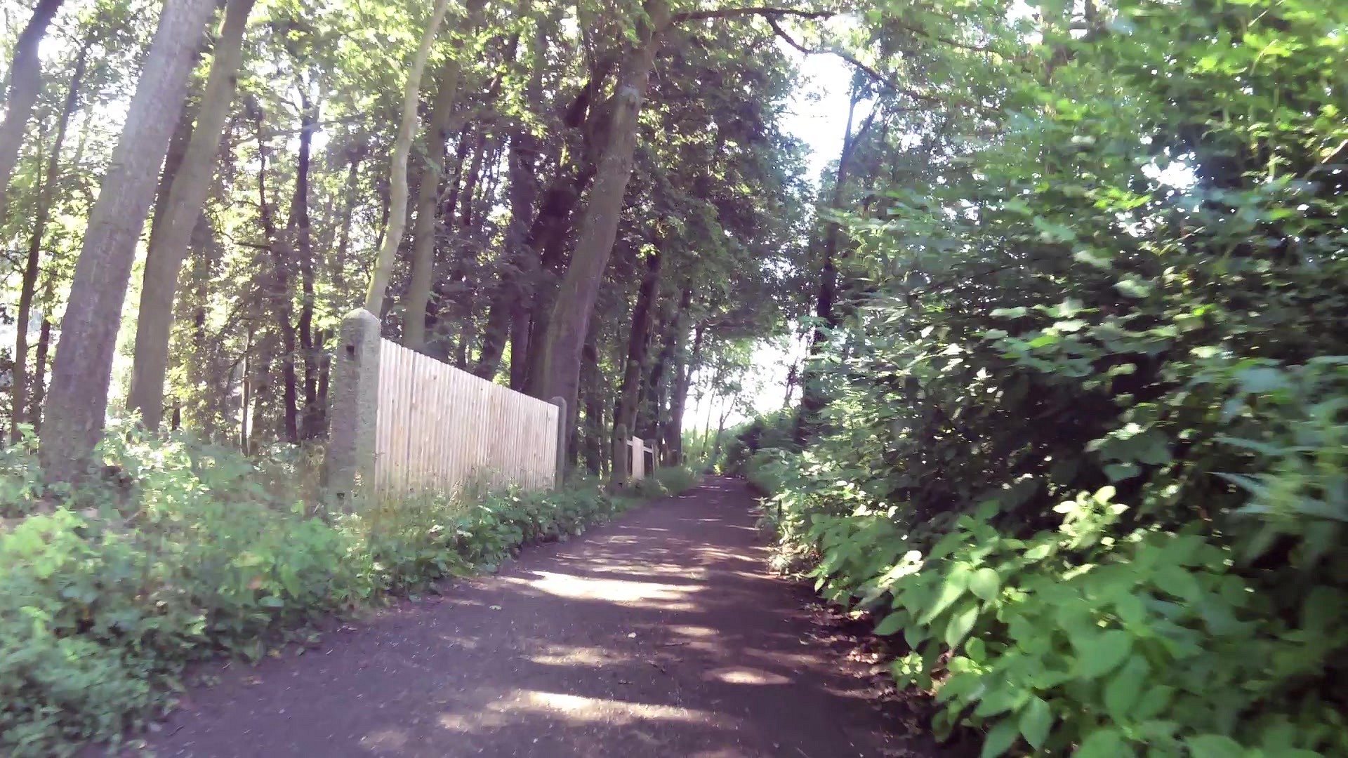
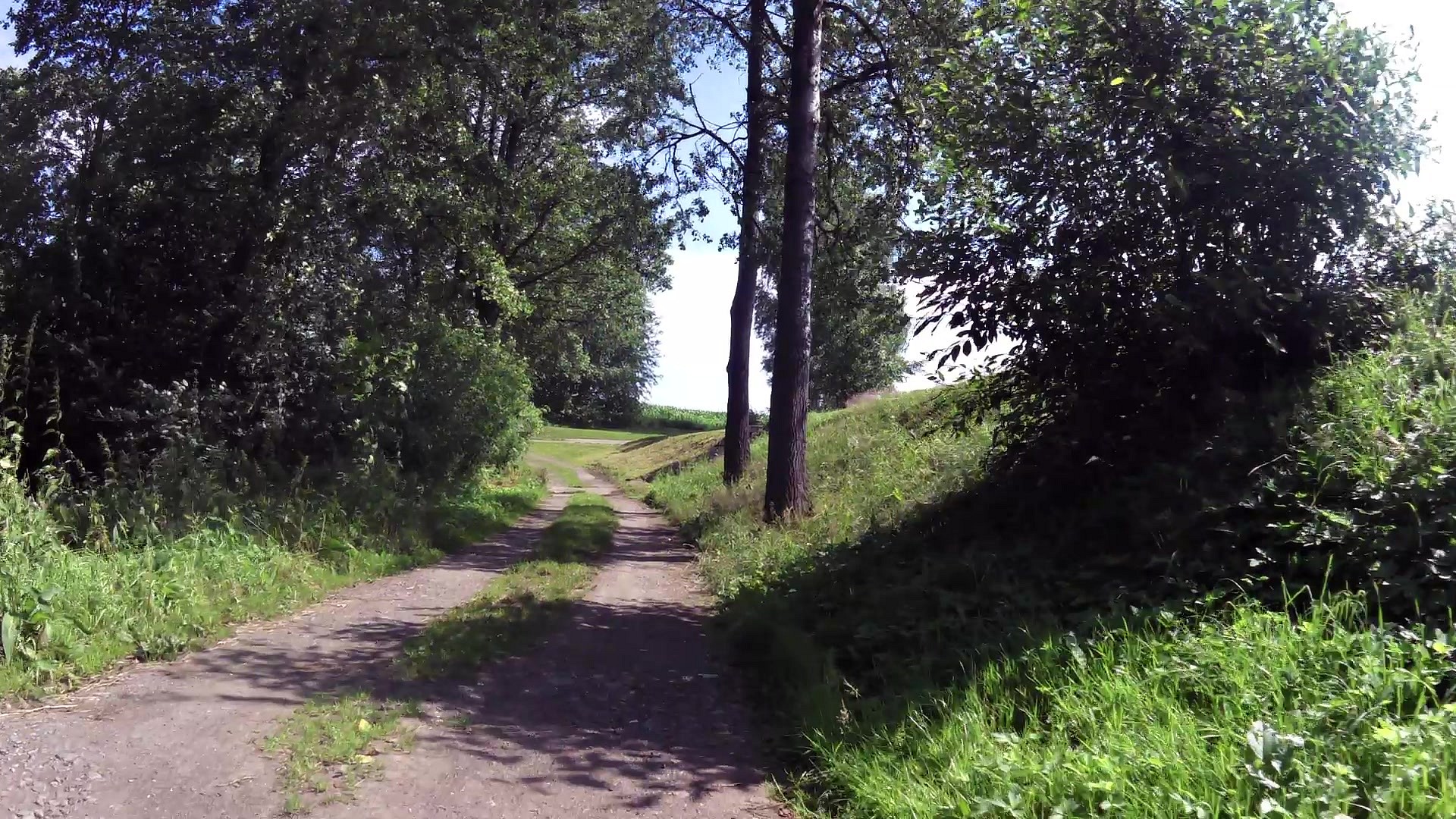
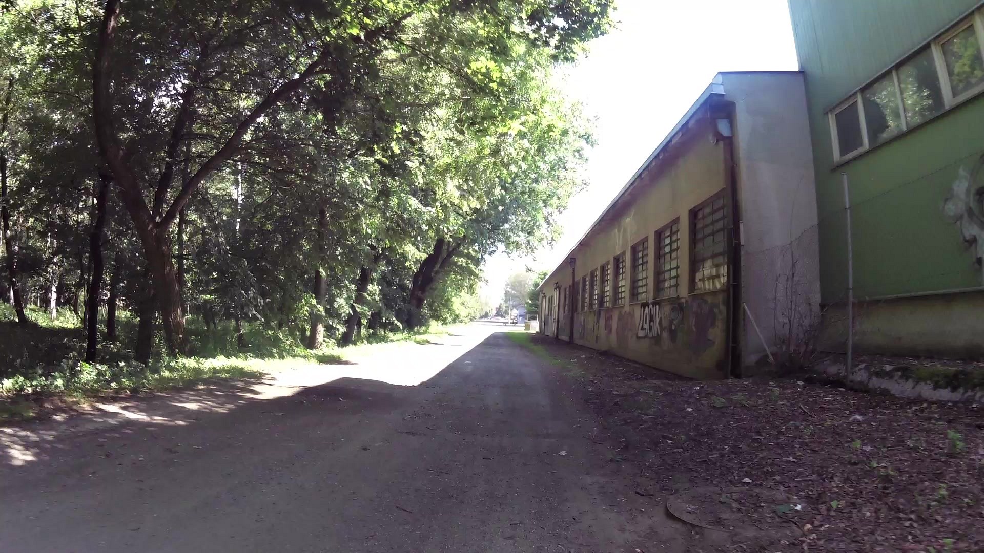
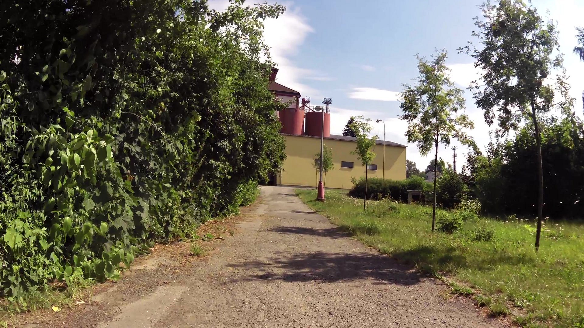
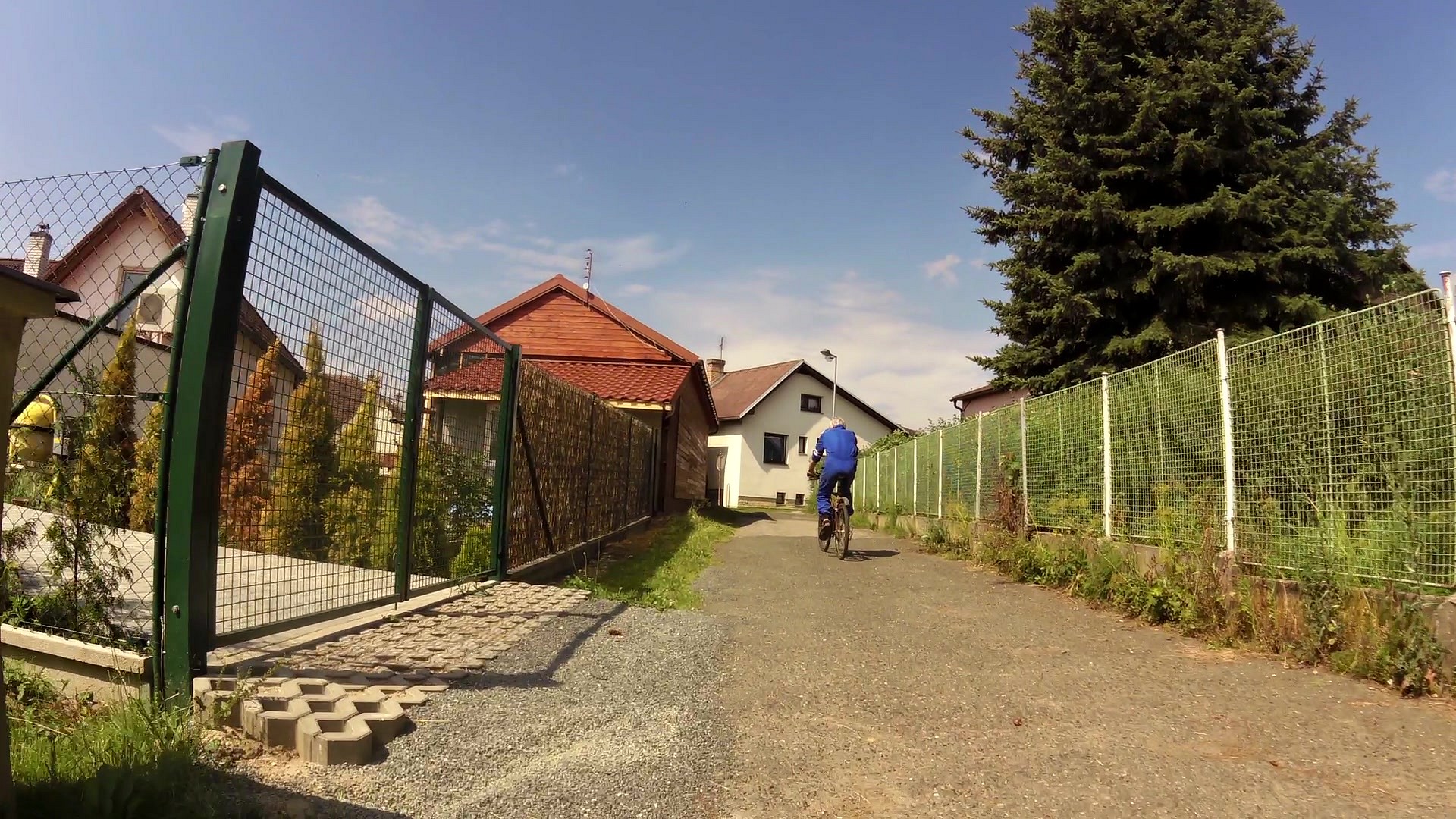
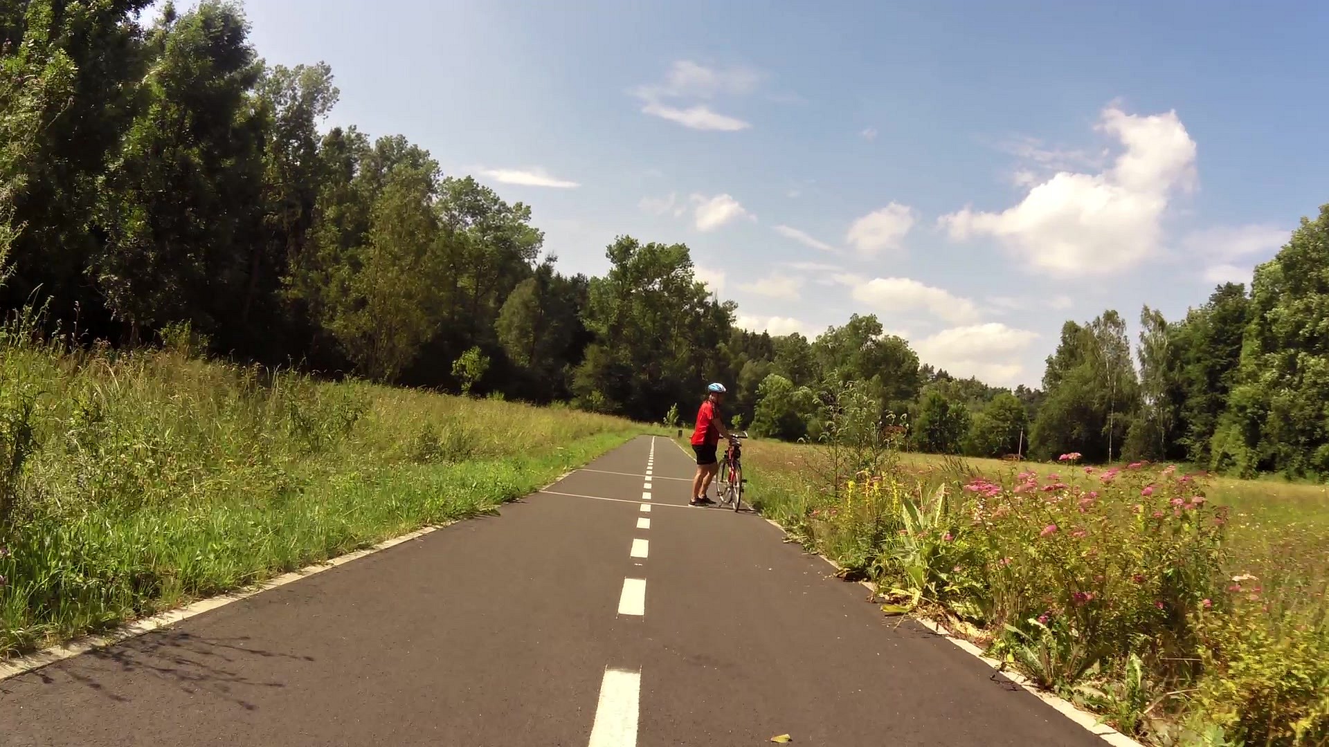
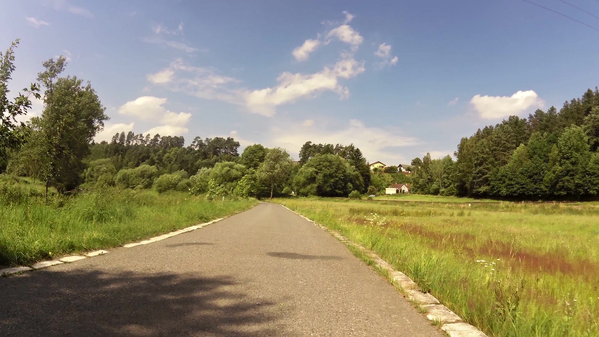
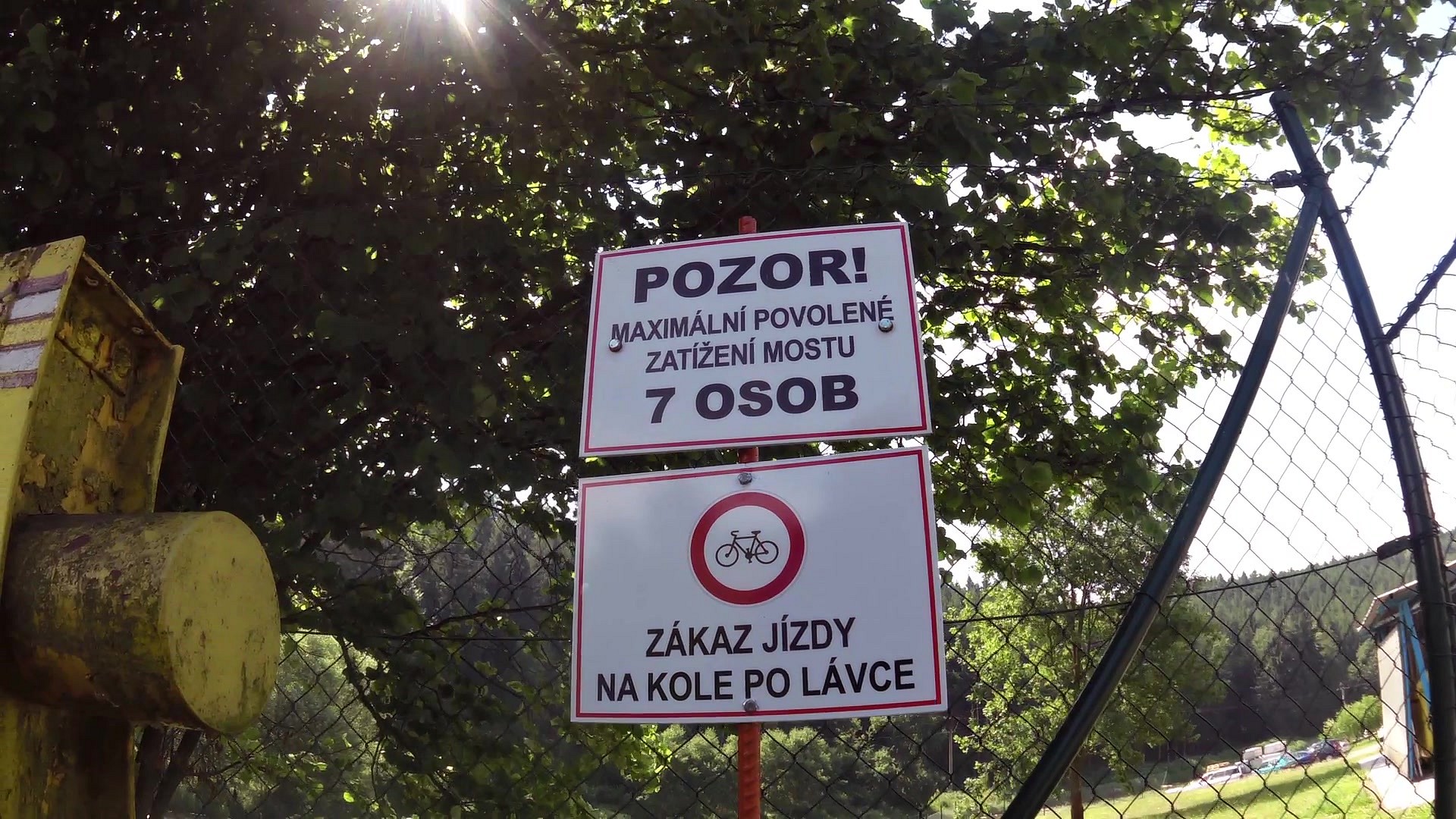
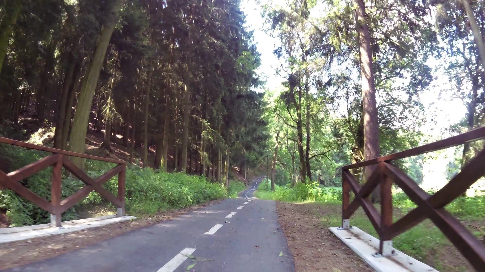
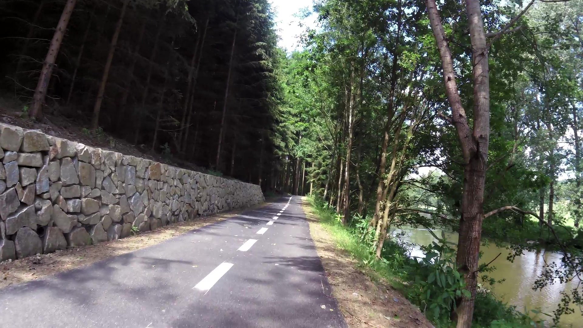
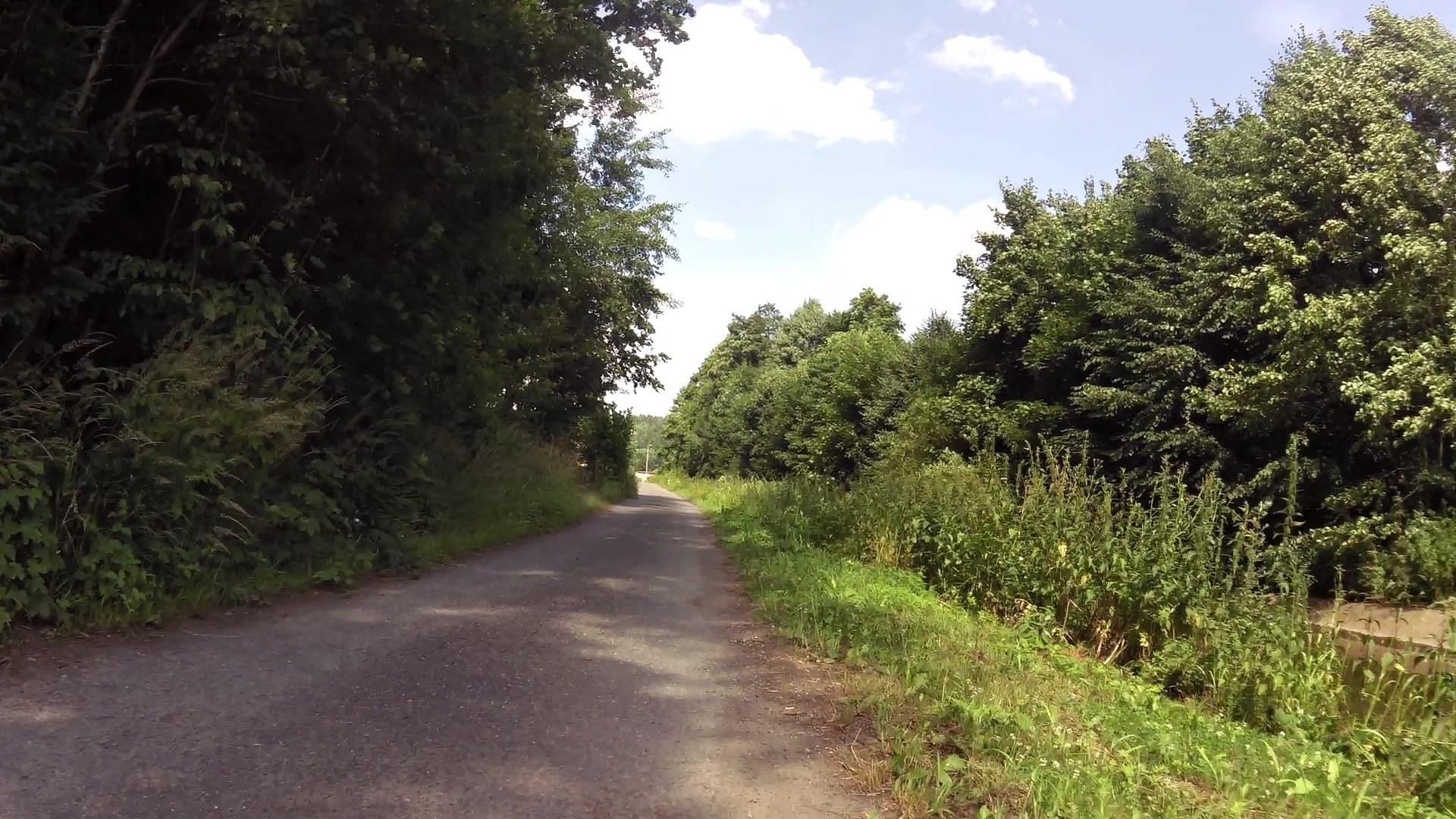
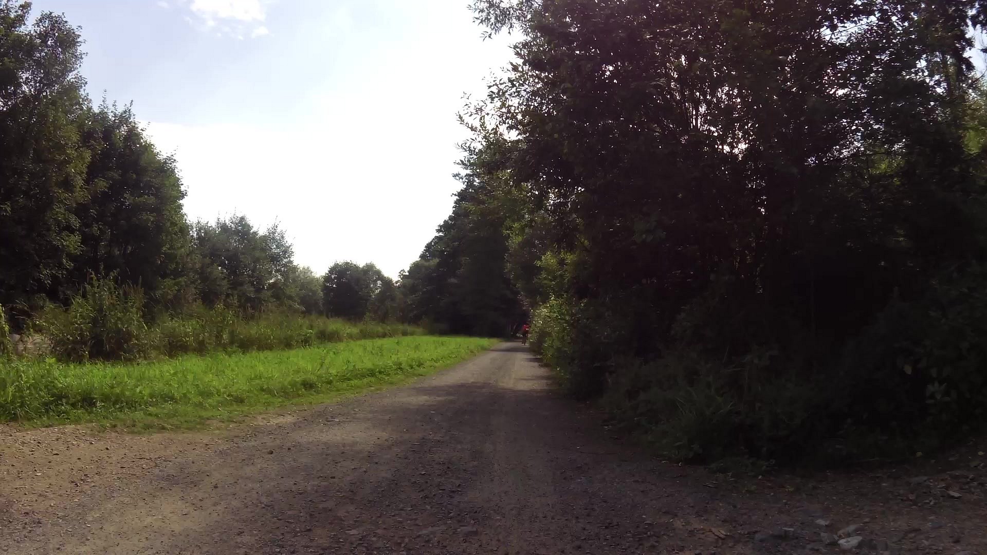
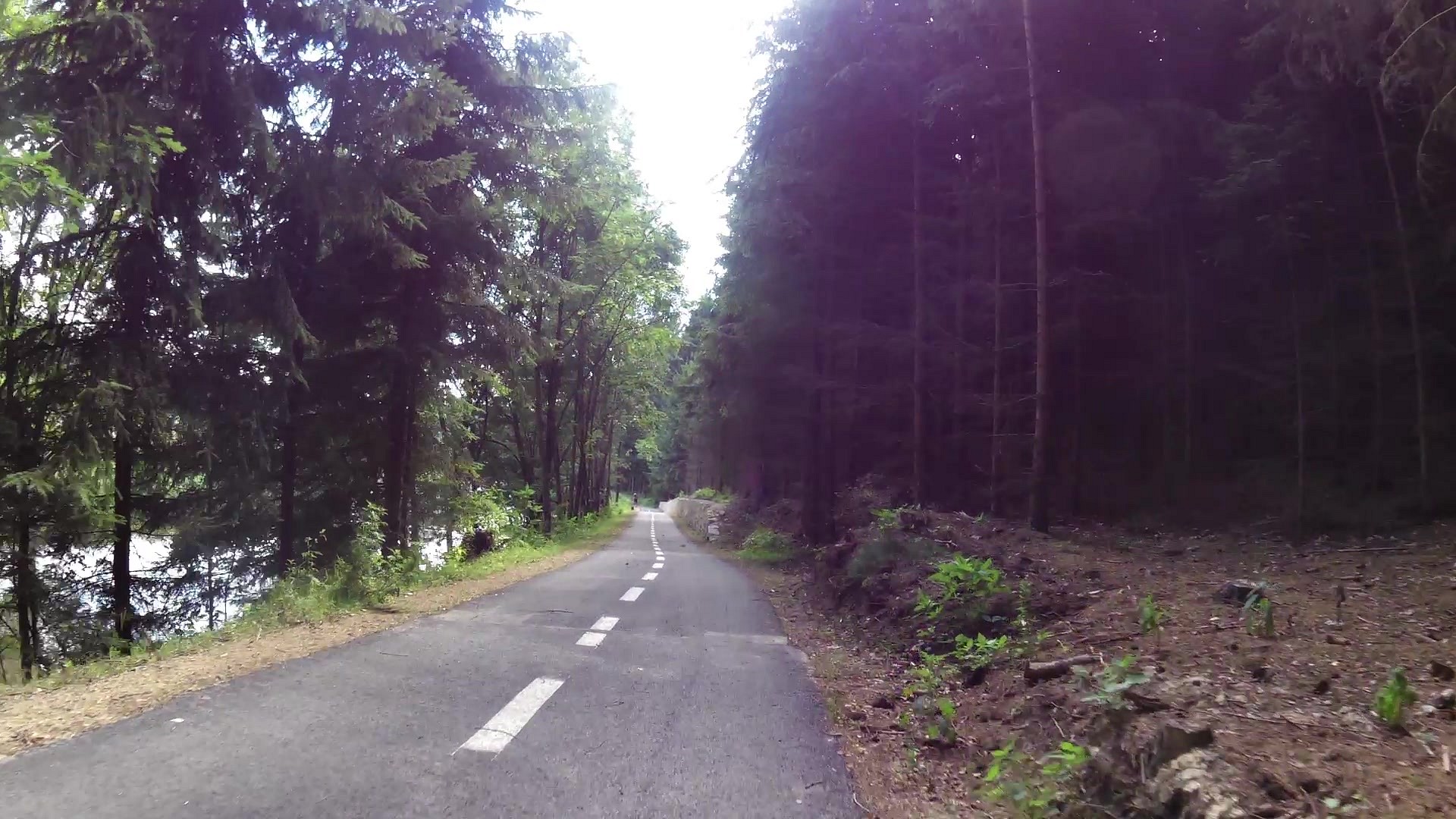
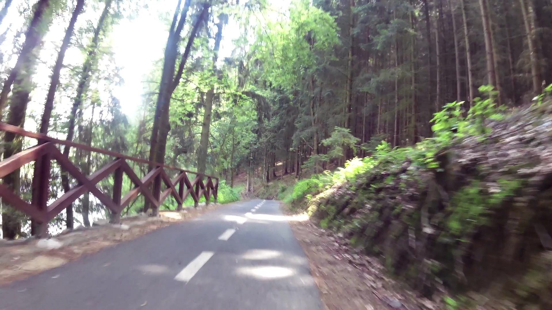
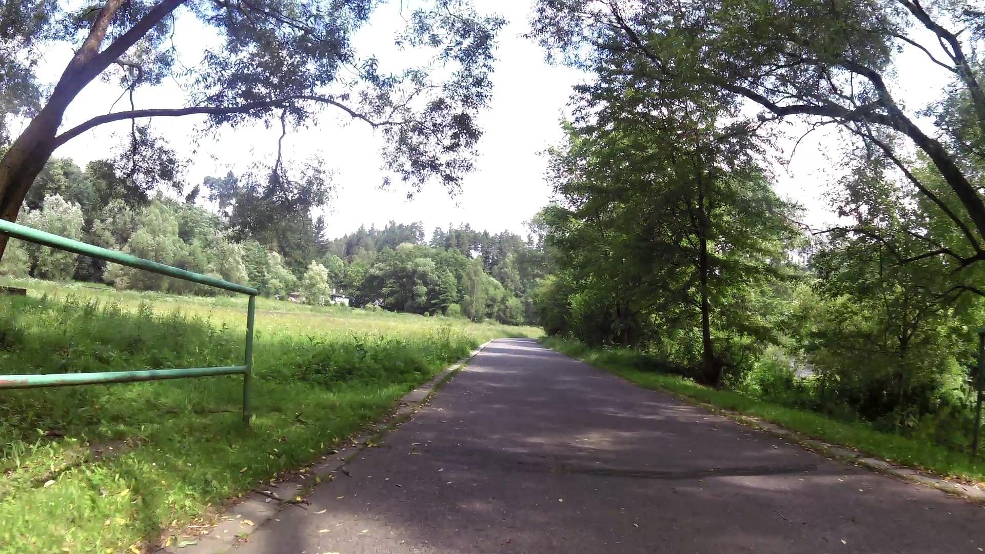
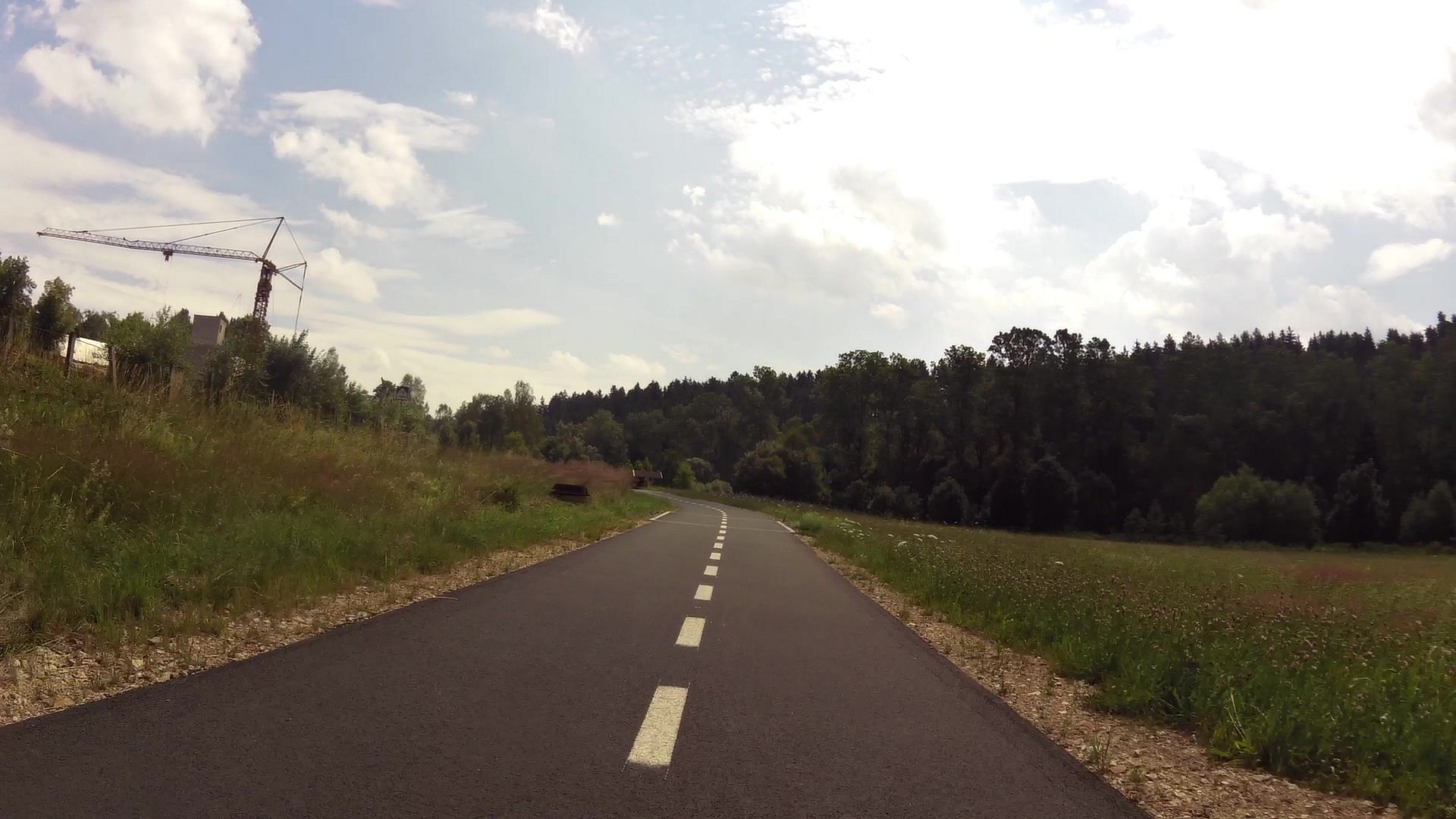
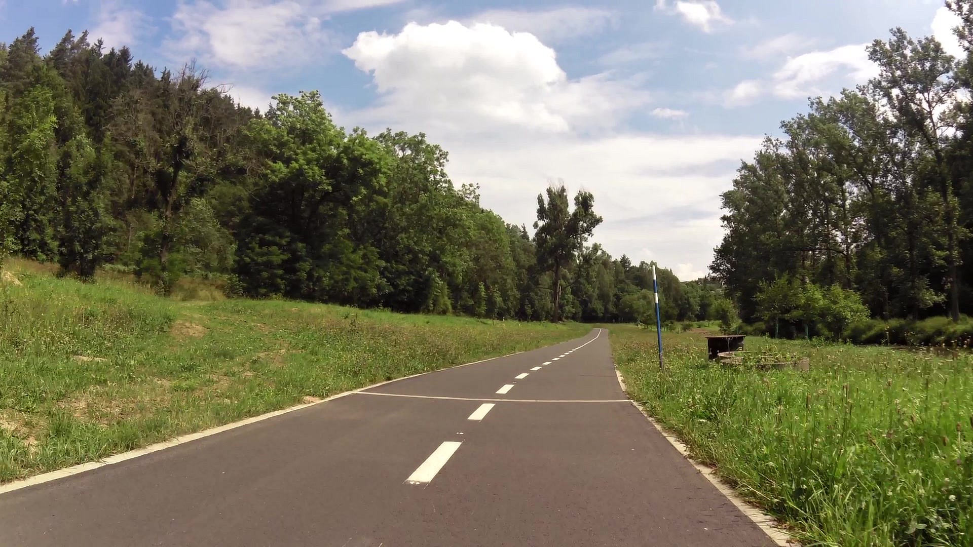
| Cycling and inline trail, Světlá nad Sázavou - Smrčná | map | video | |
| The town hall Světlá nad Sázavou | map | video | |
| The Church of St. Wenceslas | map | video | |
| Tourist Information Centre Světlá nad Sázavou | map | video |
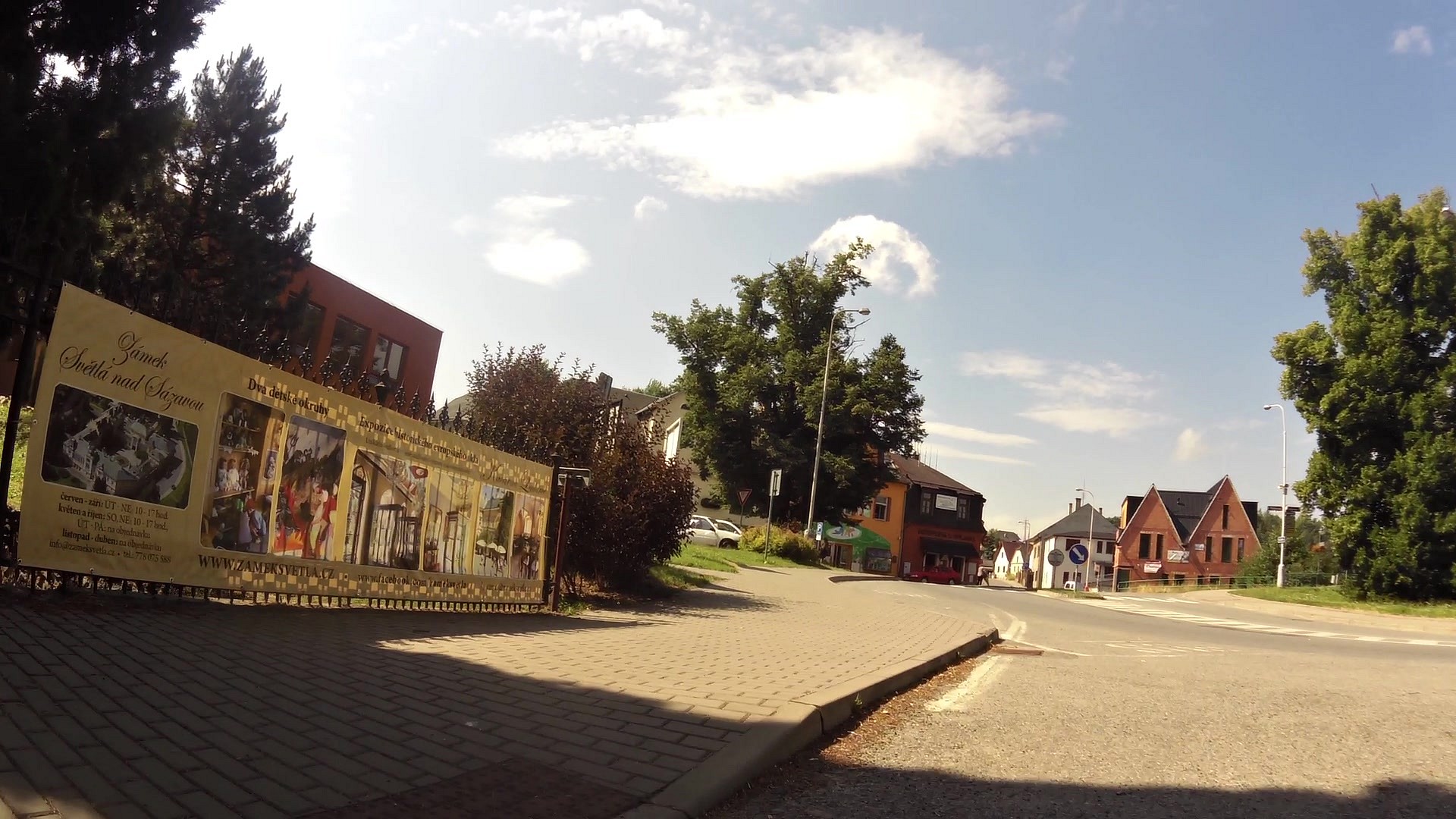
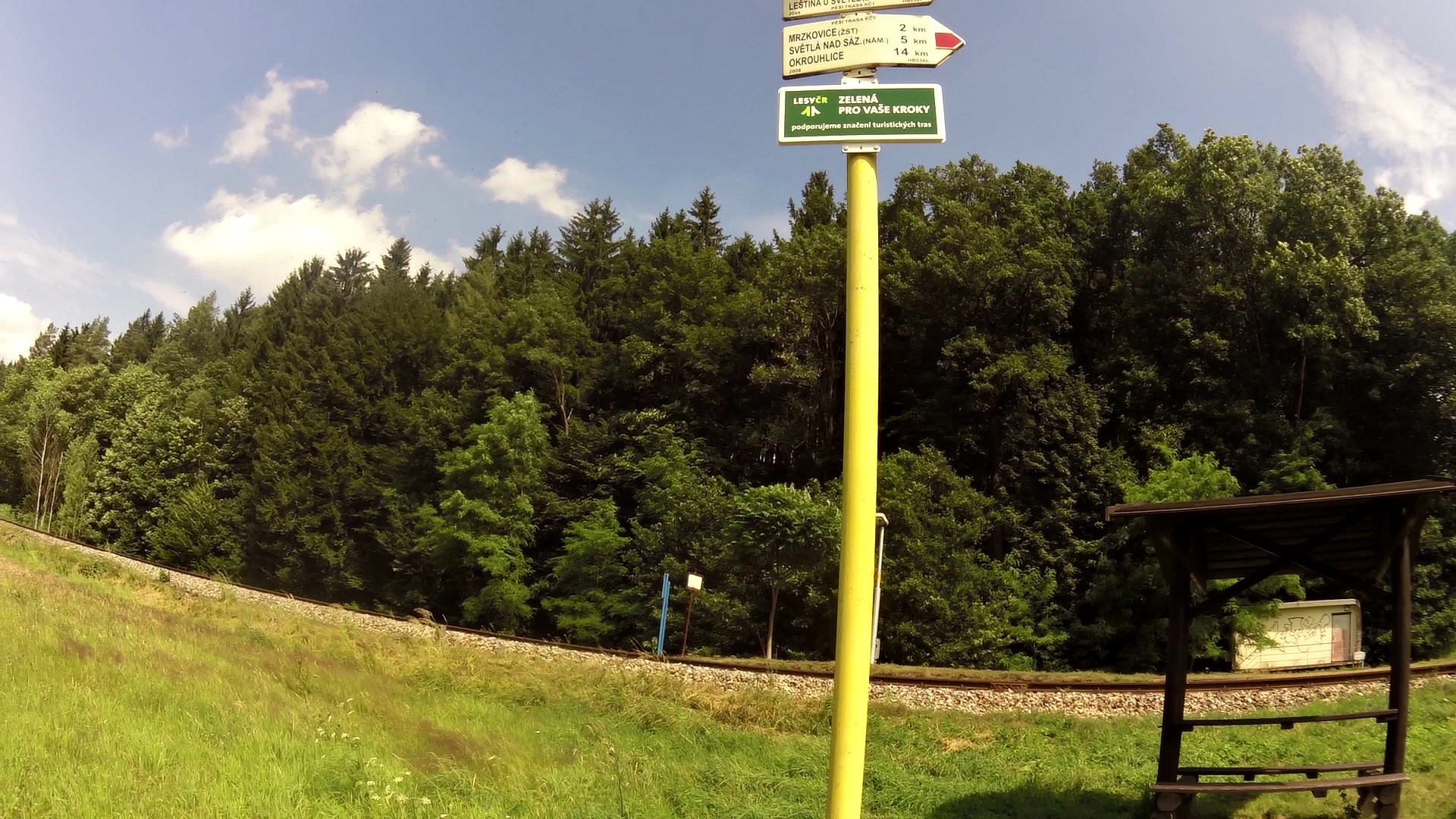
Světlá nad Sázavou is located on the upper stream of the river Sázava and is an ideal starting point for visiting attractive tourist destinations in the area - Castle Lipnice, hill Melechov, Stvořidla or Michael's farm in Pohled'. It is located on the railway line Prague - Brno, there is the turning of the popular Posazavsky Pacifik to Čerčany here and the road from Havlíčkův Brod to Ledeč nad Sázavou. The connection to the highway D1 is through Ledeč n. S. or through Humpolec. Tourist marks lead to all four cardinal points.
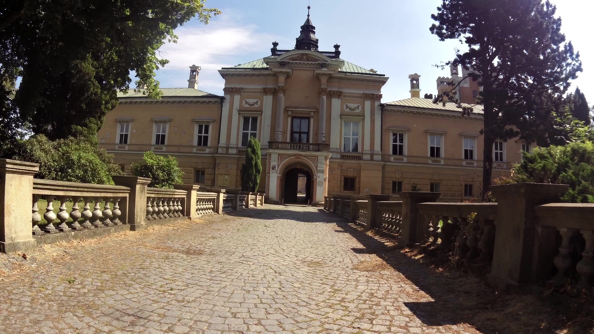
There is a castle on the left bank of the river Sázava, the predecessor of which was a Renaissance fortress built by Burian Trčka of Lípa. Nowadays it is a large two-storey building with four wings enclosing a rectangular courtyard with a fountain. The area of the castle introduces several styles from the Renaissance to the Neo-Renaissance.
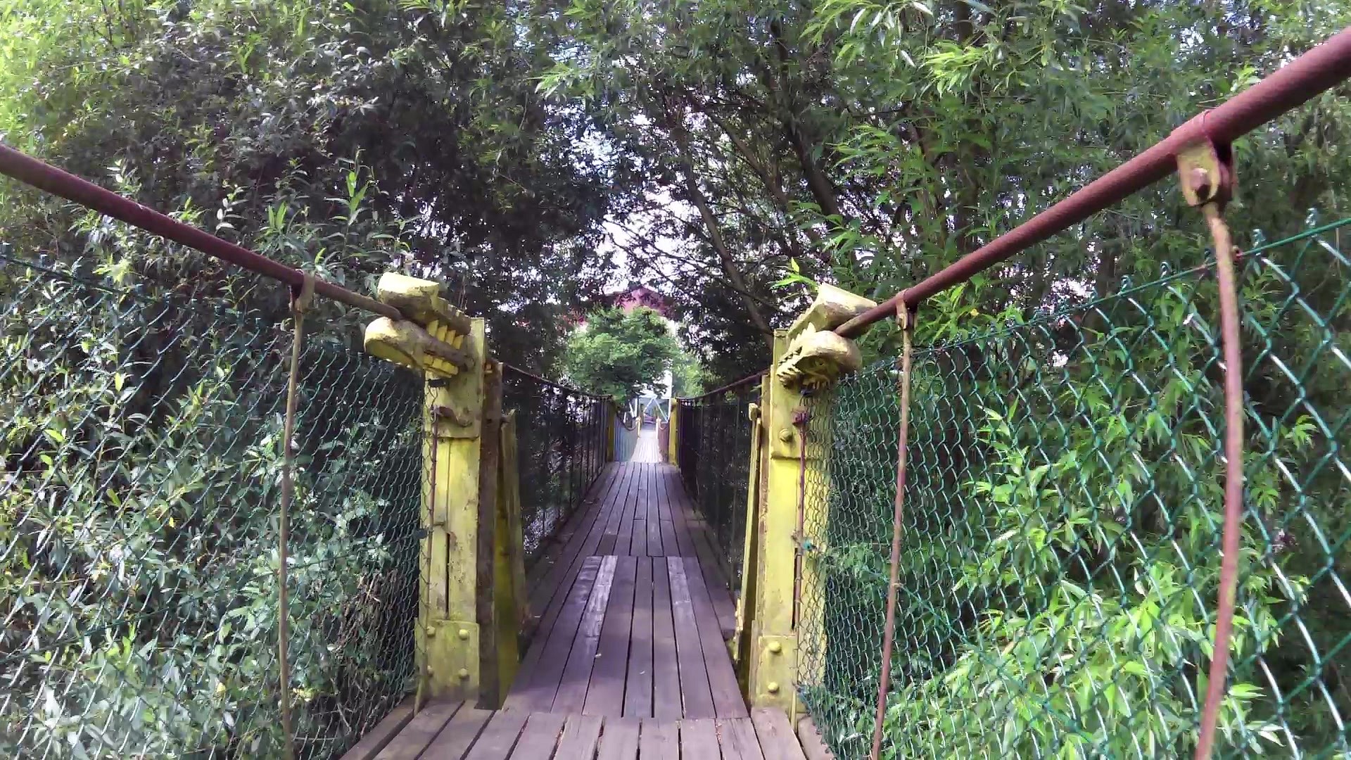
There are many interesting elements of small architecture in the adjacent park with ponds, such as bowers, stone staircases and benches but especially a steel bridge Čertův most, arching over the rocky ravine. The park has undergone an extensive renovation in recent years and is maintained, by the care of the town, for visitors from the town as well as those from near and far surroundings. There is a memorial to the founder of Czech scouting AB Svojsík and a poet and scout Jiří Walker at the end of the park. It is possible to swim in the ponds behind the park in the summer.
The dominant feature of St. Wenceslas church and the whole city is more than 35 meters tall tower with a wooden floor modified in the manner of medieval wainscoted ceiling. The five altars and six large paintings by Ignaz Raab from the Cistercian monastery in Sedlec near Kutna Hora are among the historical furniture of the church. The art designs for stained glass windows at the presbytery with images of patron saints St. Wenceslas, St. Vojtěch and St. Prokop we done in 1951 by the painter Karel Putz, a pupil of Max Švabinský.
The front of St. Wenceslas church is adorned by five sandstone statues: St. Wenceslas, St. John of Nepomuk, St. Florian, St. Barbara and St. Joseph with the baby Jesus.
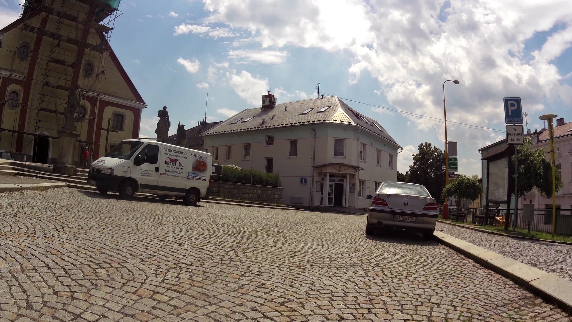
In a renovated building no. 16 in the vicinity of the church is the seat of the cultural facility KyTICe with the municipal library, gallery Na Půdě and a tourist information center, which is a great assistant for tourists and visitors of the town and its surroundings.
The Town Hall has been standing on the Trčků of Lípa square since 1795 and has had several renovations. The municipal authority, administering the territory of 32 municipalities of Světlá and Ledeč regions, is housed there.
There is a fountain near the town hall, created in 1829 by the local master mason Jan Schlesinger. A big tourist attraction is a medieval underground. The system of tunnels and adits of the total length of 220 meters has walls and ceilings trimmed into a vault with clearly visible traces of hand tools used during the excavation. It was opened to the public after several years of work by the members of the National History Association Světelsko. The entrance is in house no. 23, guided tours are provided by the Tourist Information Centre where you can also buy tickets.
For sports activities there are football stadium, ice rink in Pěšinky, tennis hall and tennis courts, volleyball court, two multipurpose playgrounds at elementary schools, Fitness center, skateboarding ground etc.
The local Jewish cemetery in Komenského street is worth noticing.
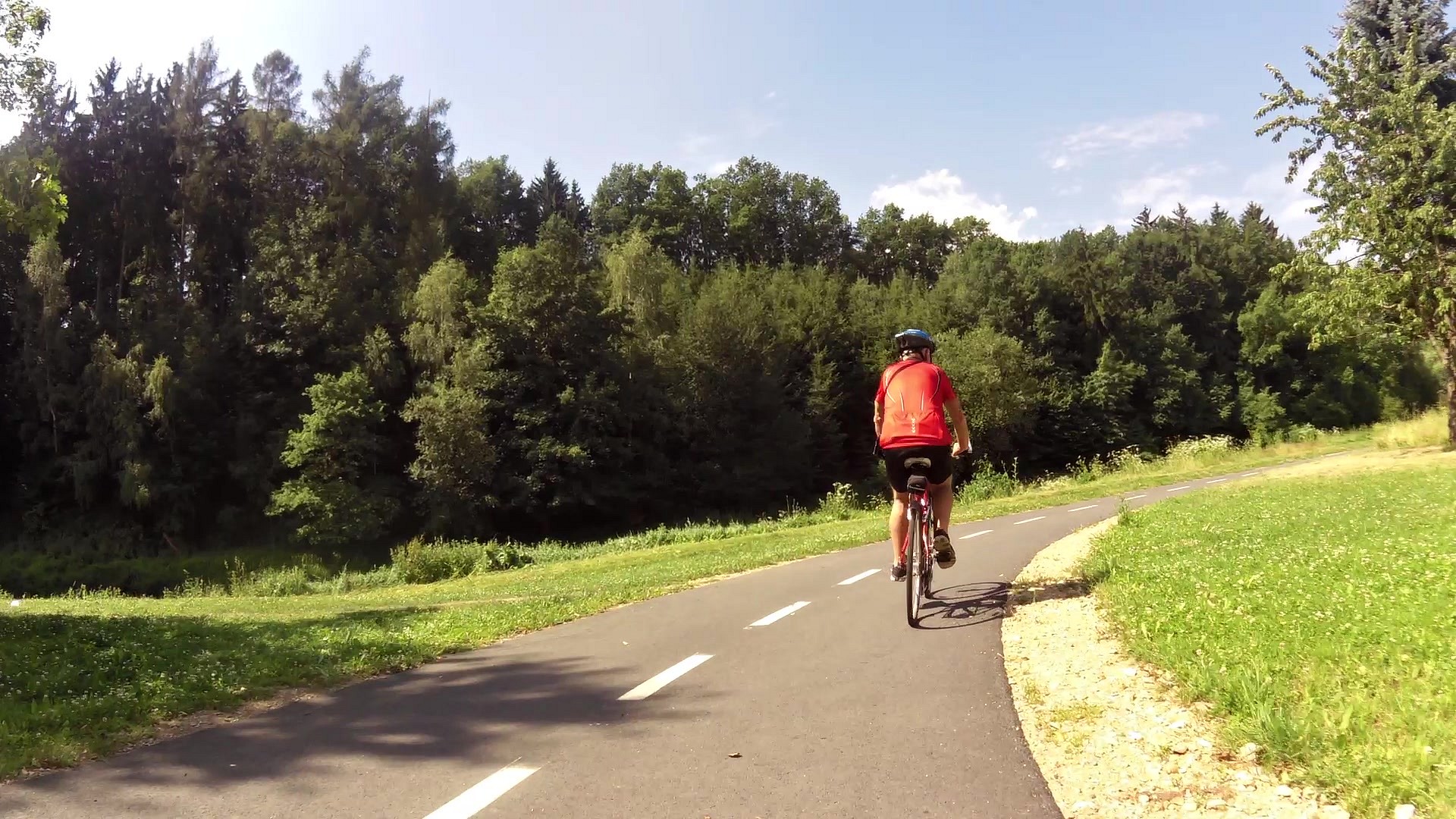
The hilly countryside offers many possibilities for hikers and cyclists. A 243km long Posázavská cycling route goes through the town, leading from the confluence of Sázava and Vltava rivers to and beyond Nové Město na Moravě.There is something for boaters and skiers in winter as well. There is a regularly maintained ski slope with artificial snow and night-lighting on the Kadlečák hill, cross-country skiers will find a suitable terrain too.
Horácko singing and dancing - a festival of folklore ensembles with a fair of folk crafts, is held at the turn of May and June (every other year) in Světlá n. S.; Festival of Music in June. St. Nicholas Day with a Hell in the medieval underground is also a tradition and in September a big St. Wenceslas fair with many attractions for children and a number of stalls selling various goods.
Tourist information centre
nám. Trčků z Lípy 16
582 91 Světlá nad Sázavou
tel. 569 496 676 or 775 653 884, info@svetlans.cz


![]() Back to the list of videoroutes
Back to the list of videoroutes


