like:
type:
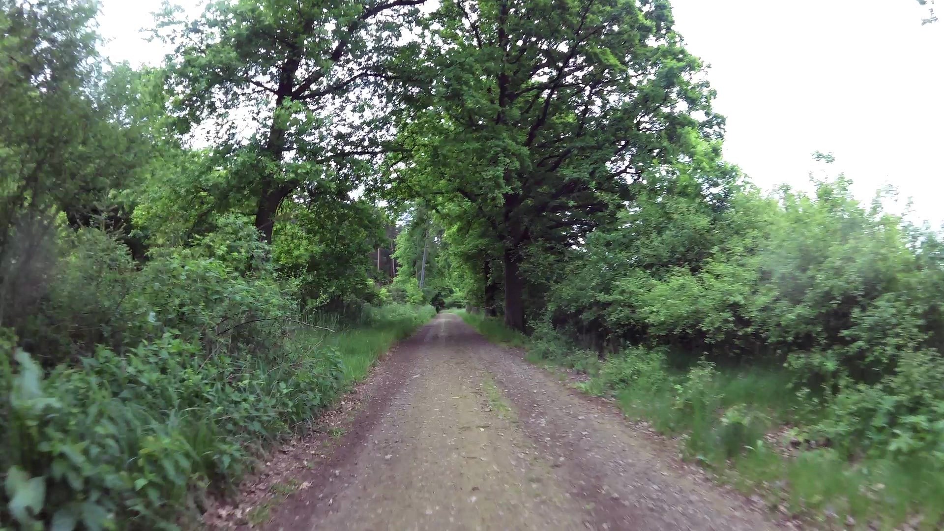
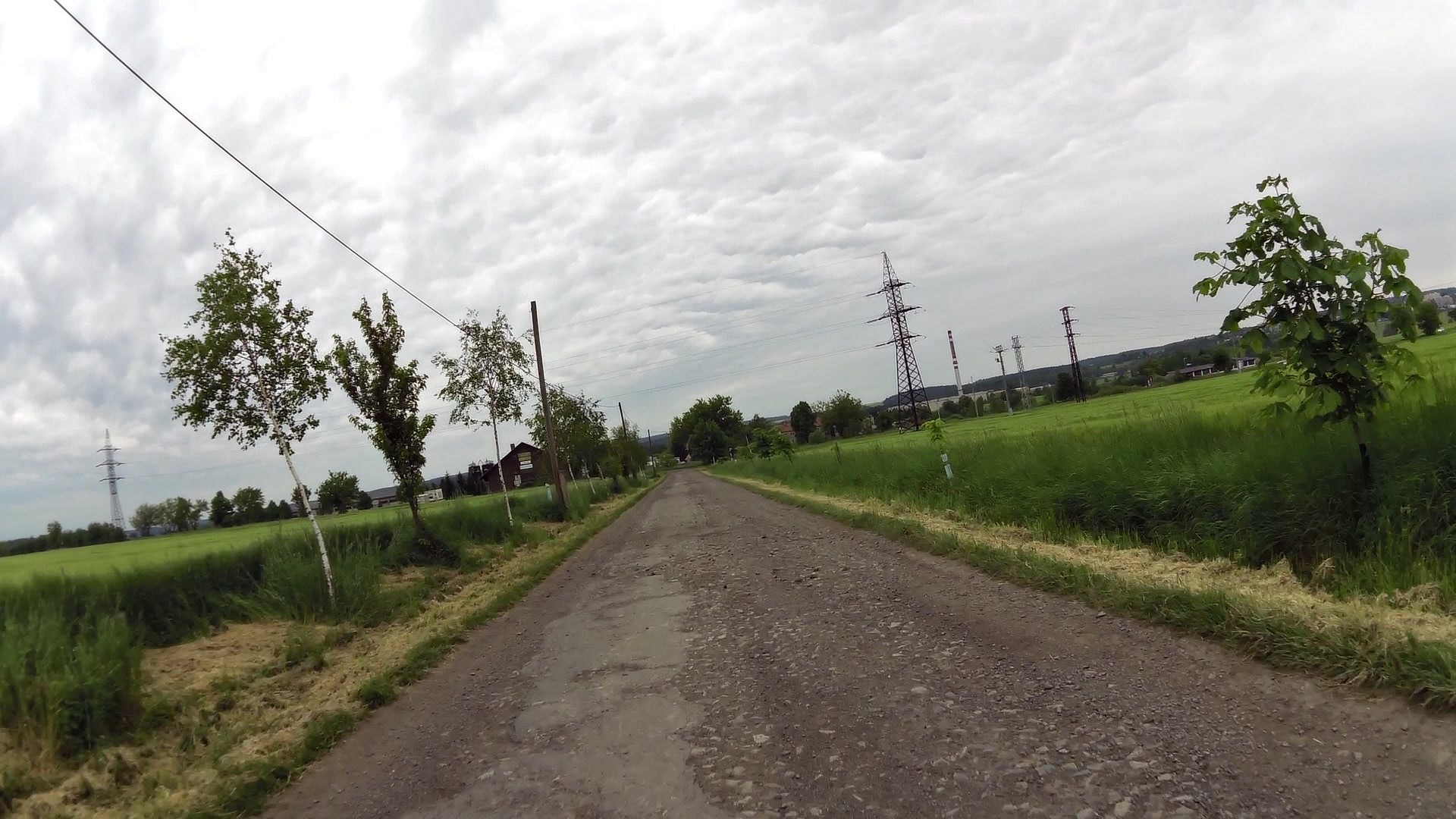
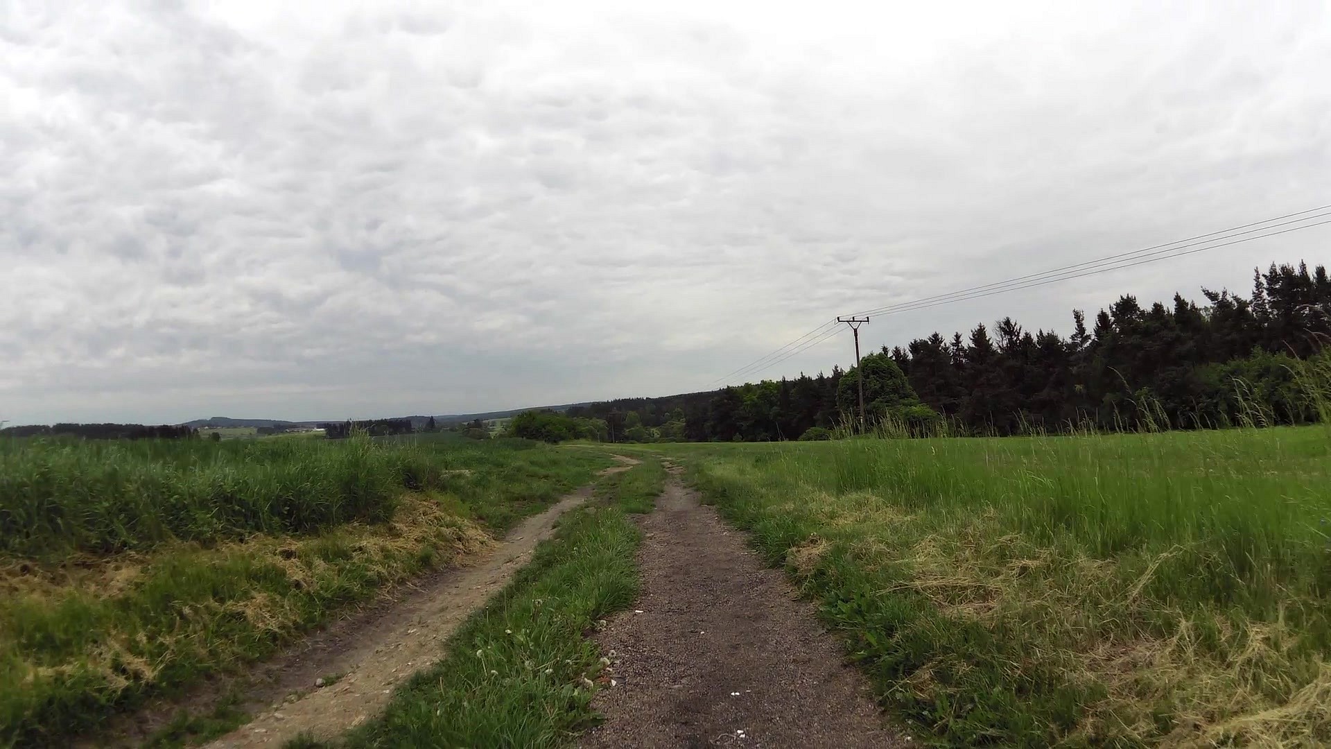
Walking tour
difficulty:
Intermediate
length:
21.59km
total elevation:
838.50m
total descent:
843.10m
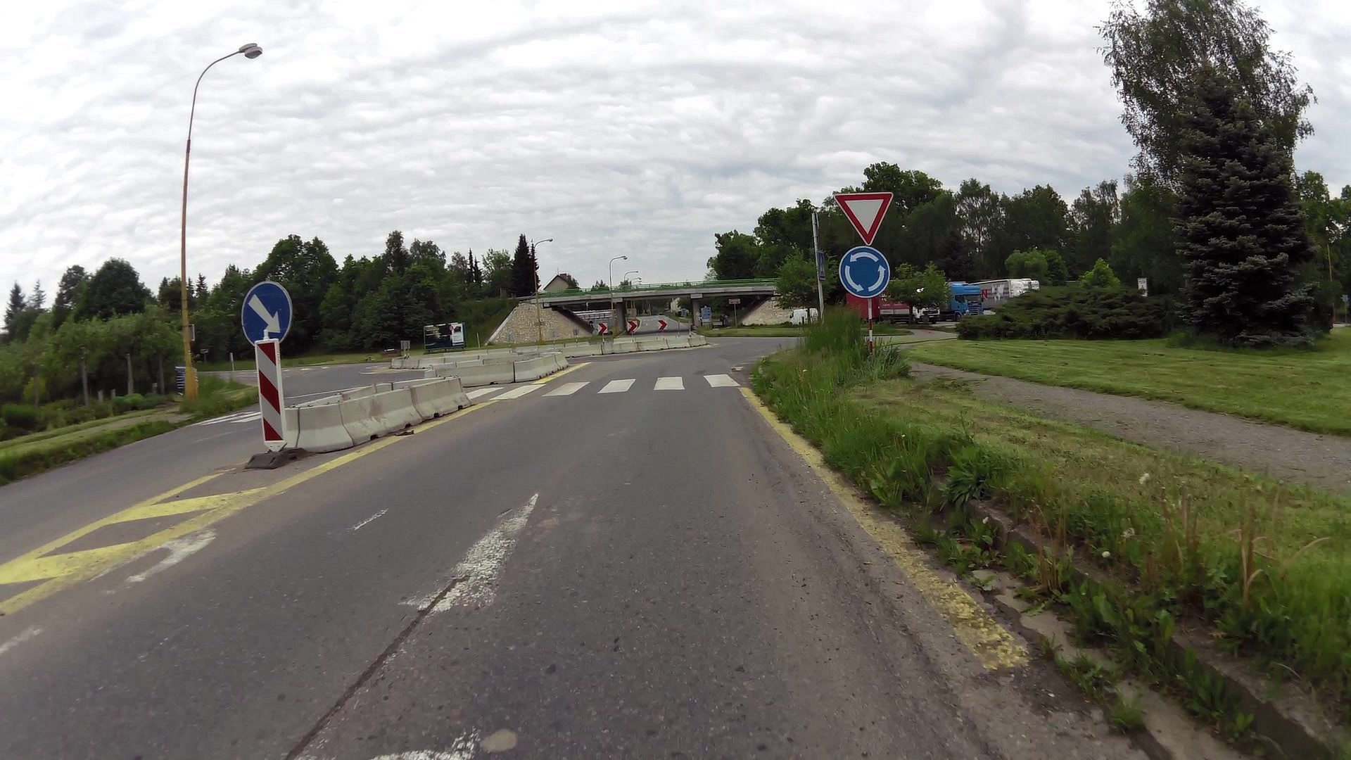
navigation:

| 0.00km from start |
21.59km to finish |
m elevation |
0m total elevation |
0m total descent |
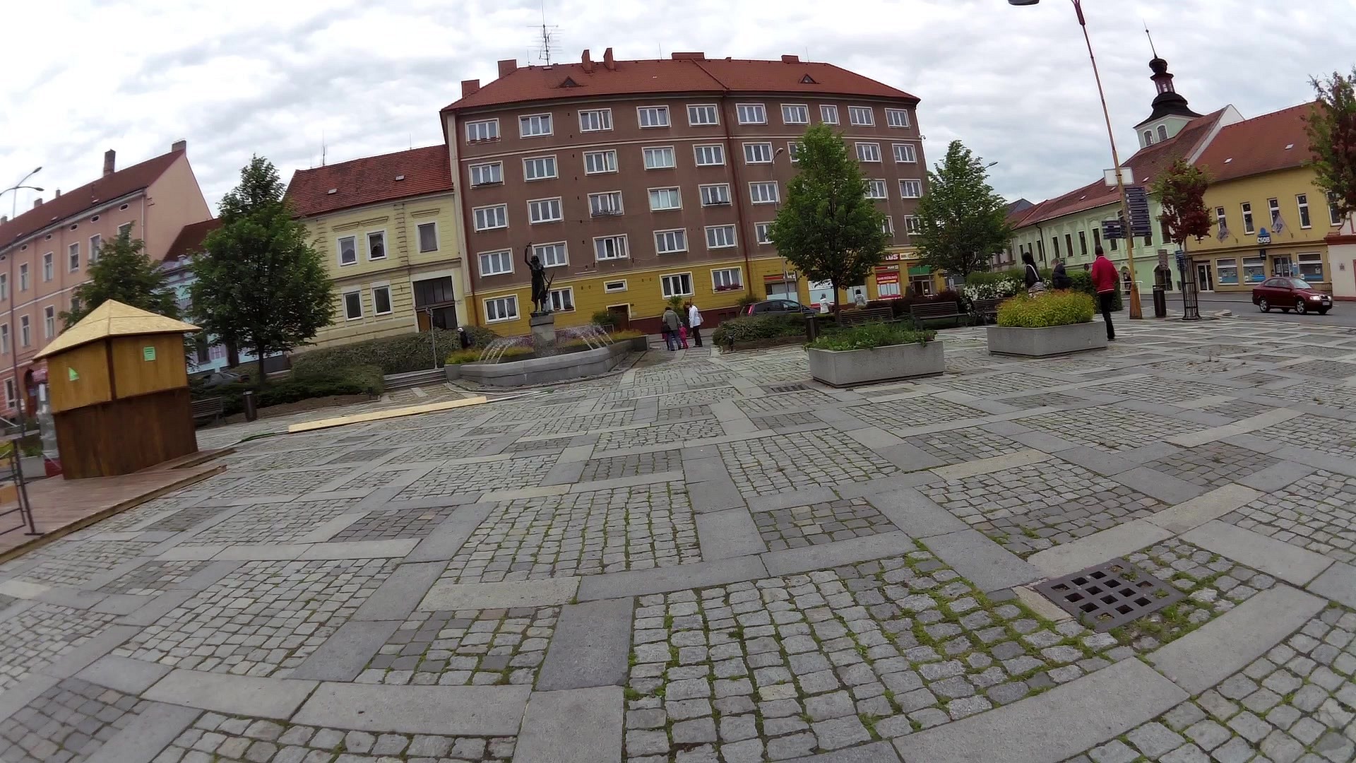
| Edvard Beneš Square | map | video | |
| Tourist information center Milevsko | map | video | |
| Granite Symposium in park Bažantnice | map | video | |
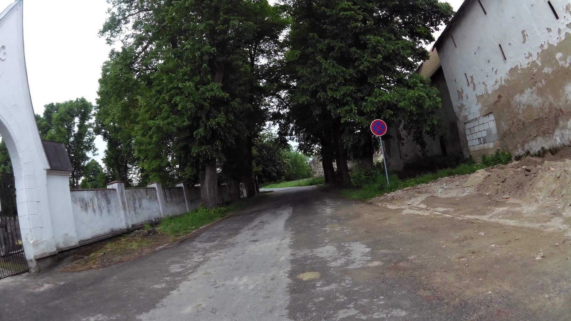
| Monastery Milevsko | map | video | |
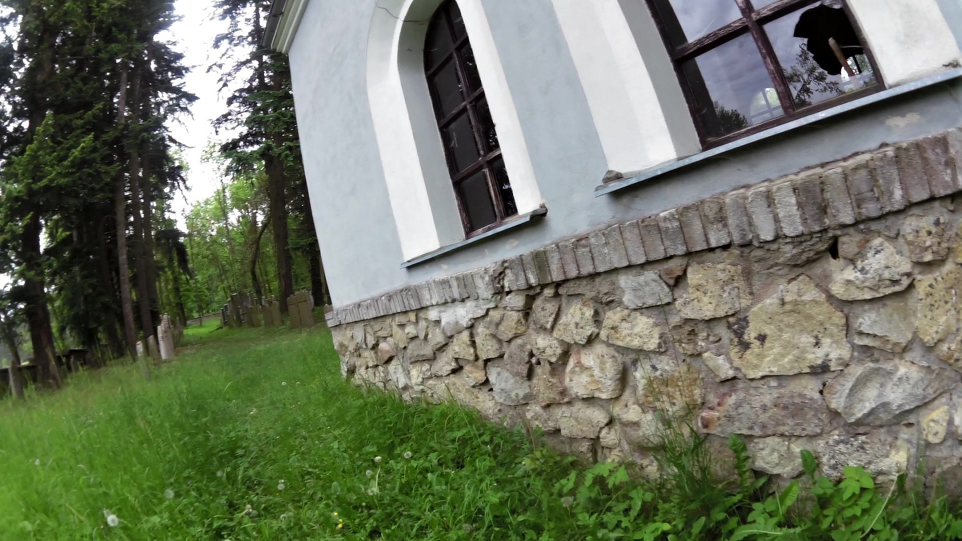
| Jewish cemetery at Milevsko | map | video | |
| Railway Viaduct Tábor - Ražice | map | video | |
| Natural heritage area Dehetník | map | video | |
| Old estate housing | map | video | |
| Natural heritage pond Boukal | map | video |


![]() Back to the list of videoroutes
Back to the list of videoroutes


")


