like:
type:
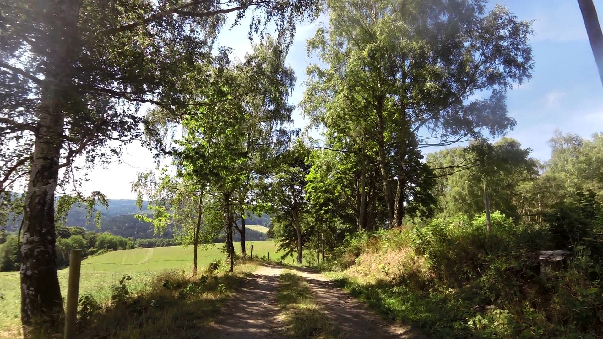
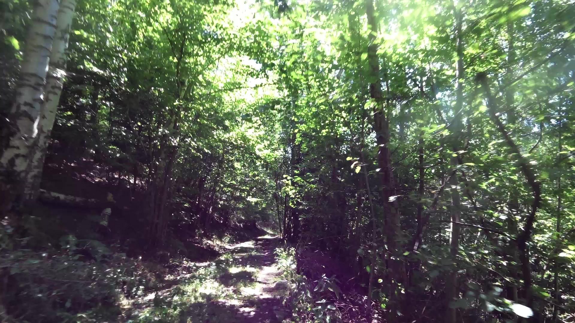
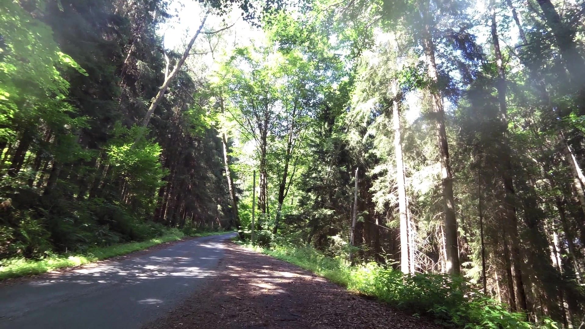
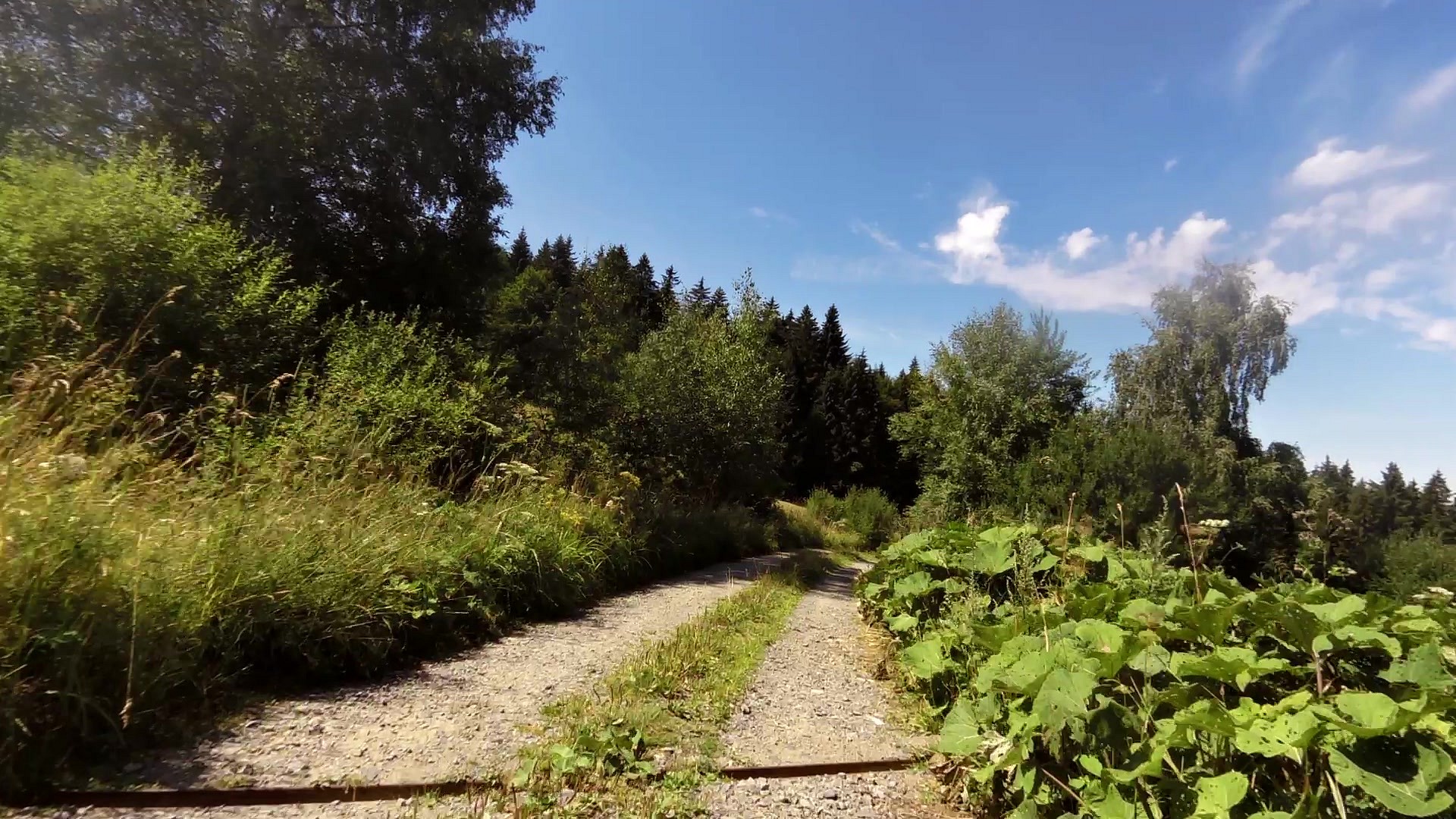
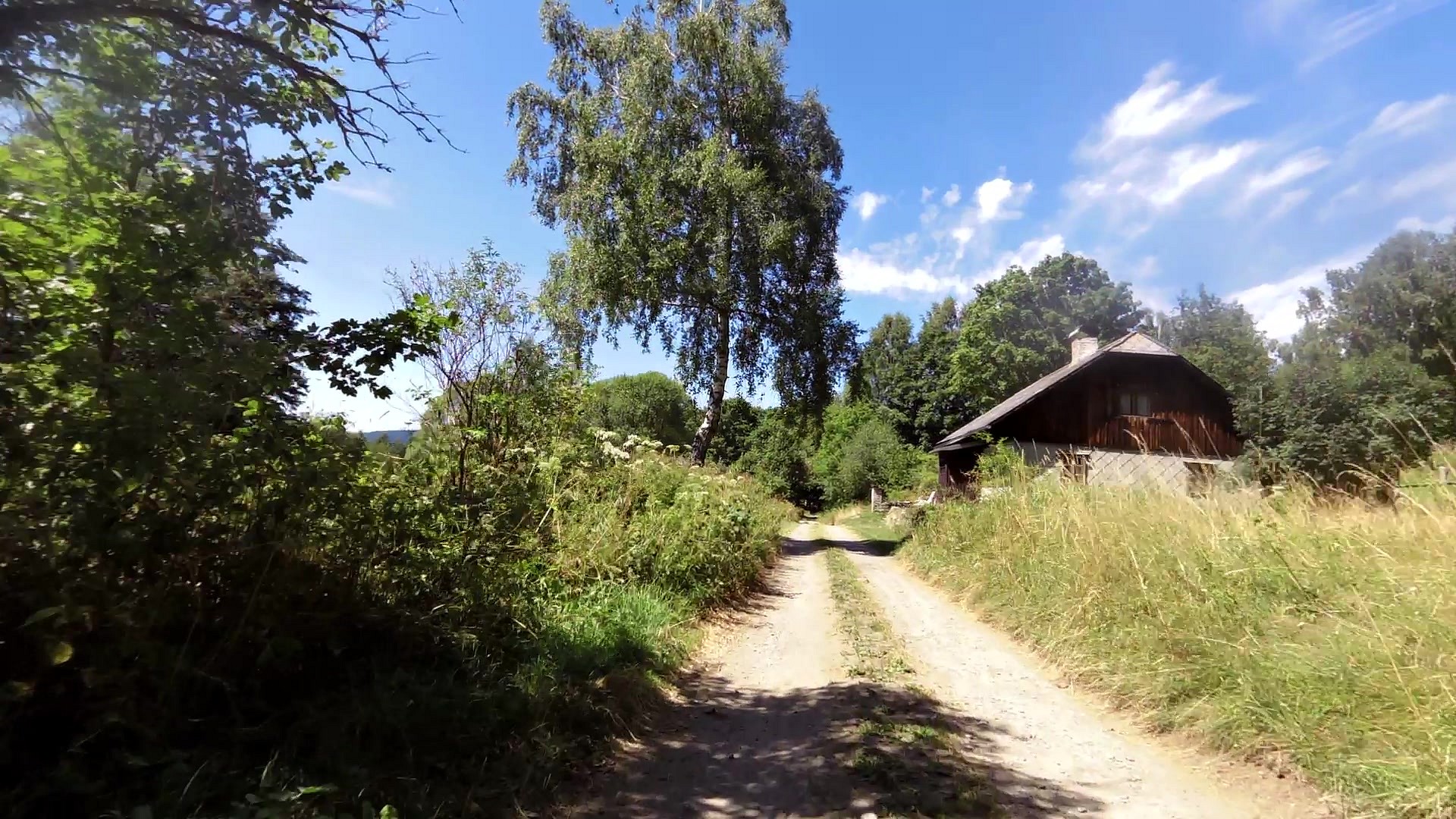
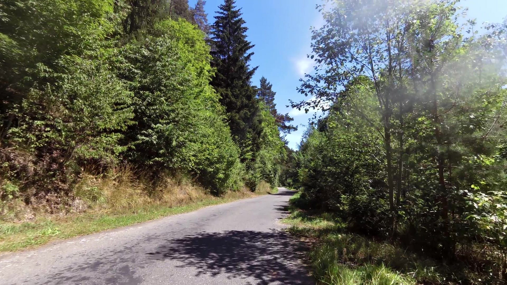
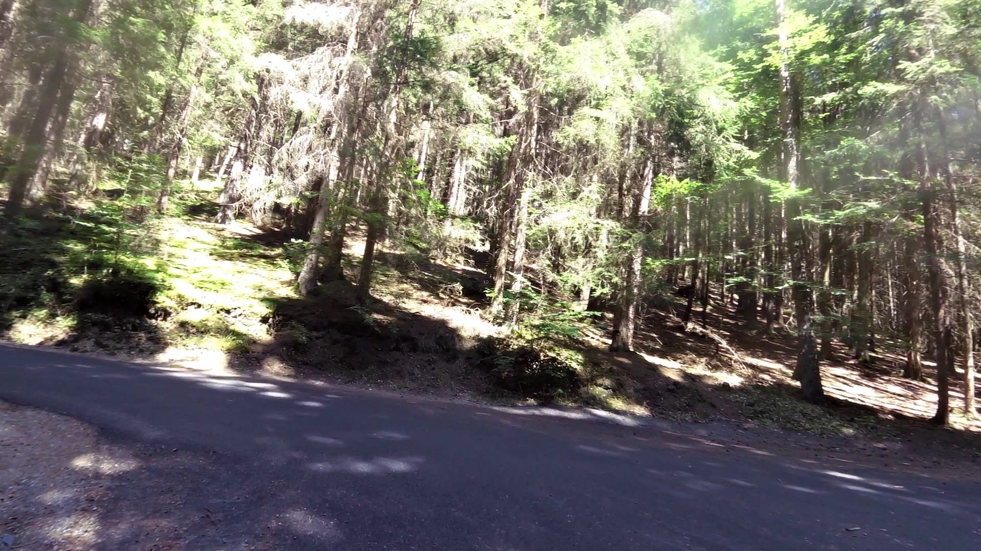
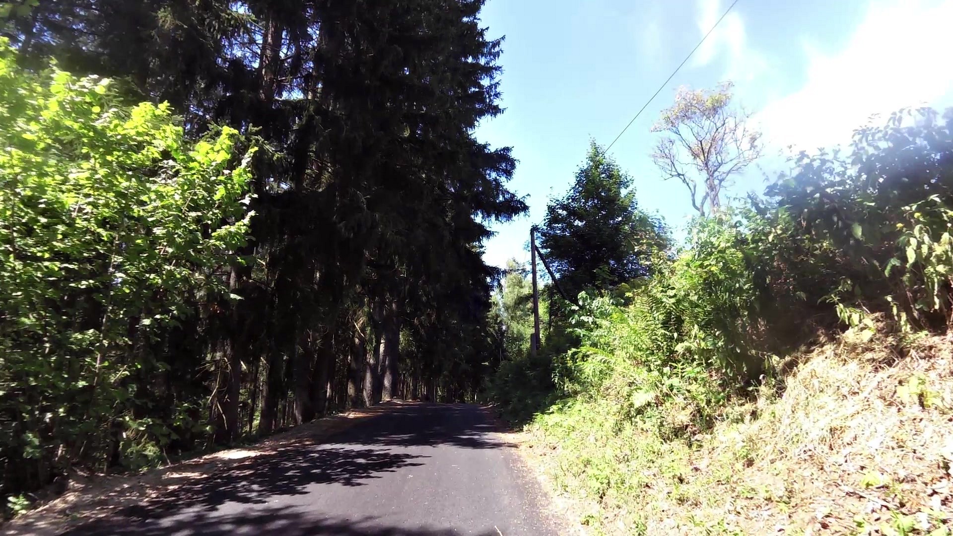
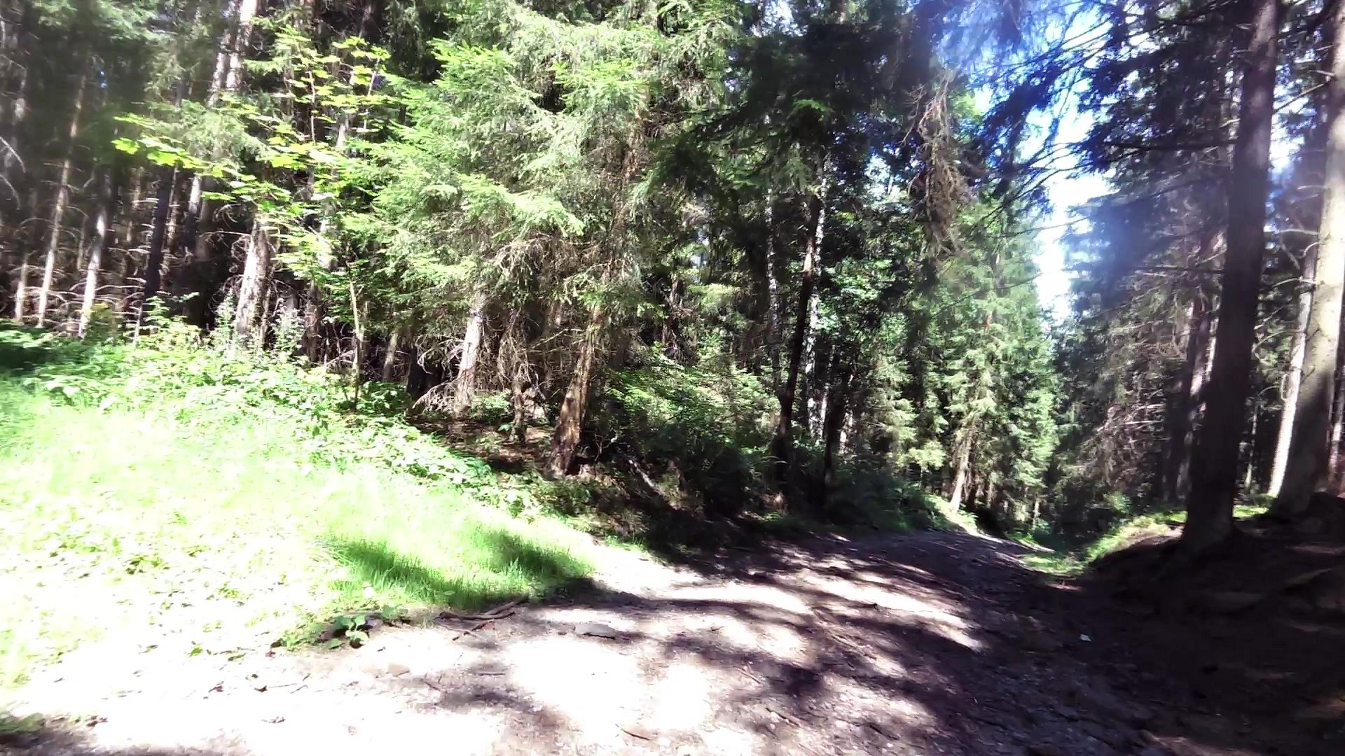
Walking tour
difficulty:
Intermediate
length:
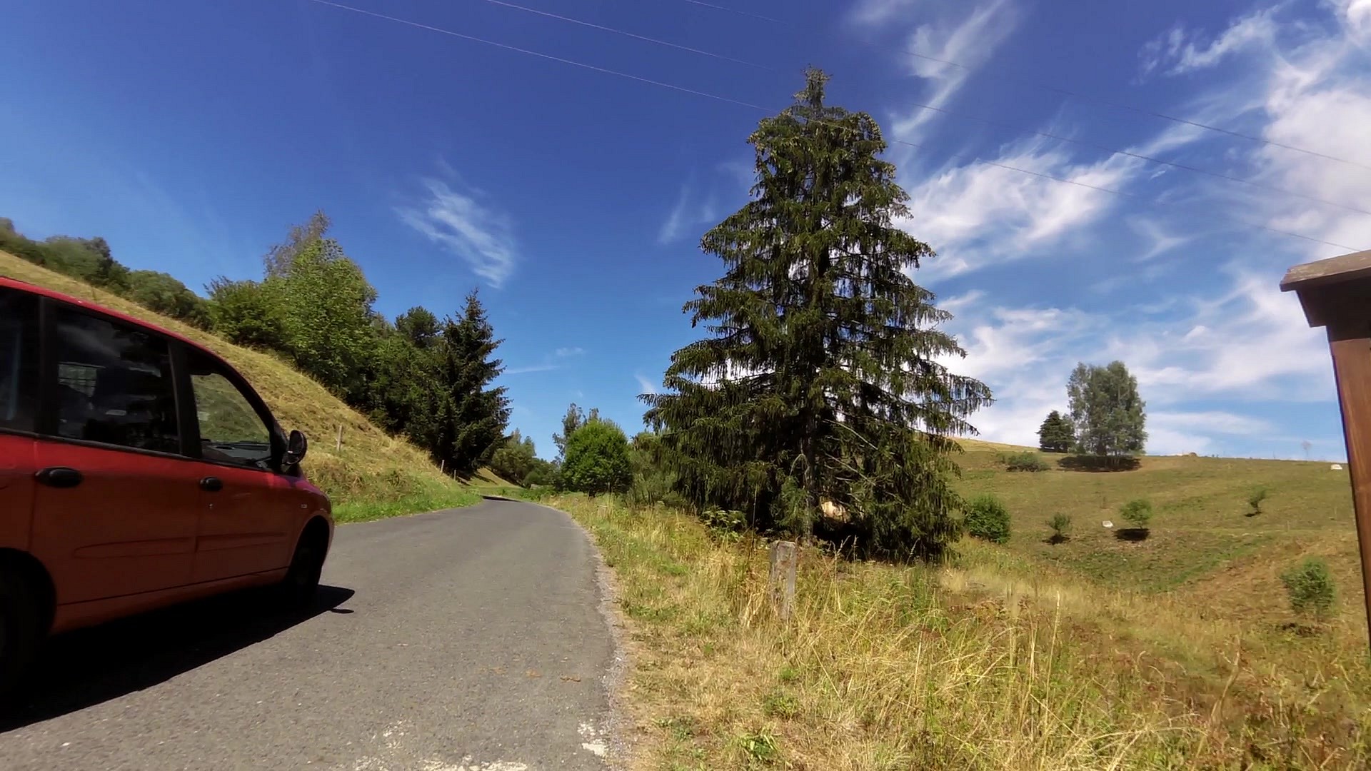
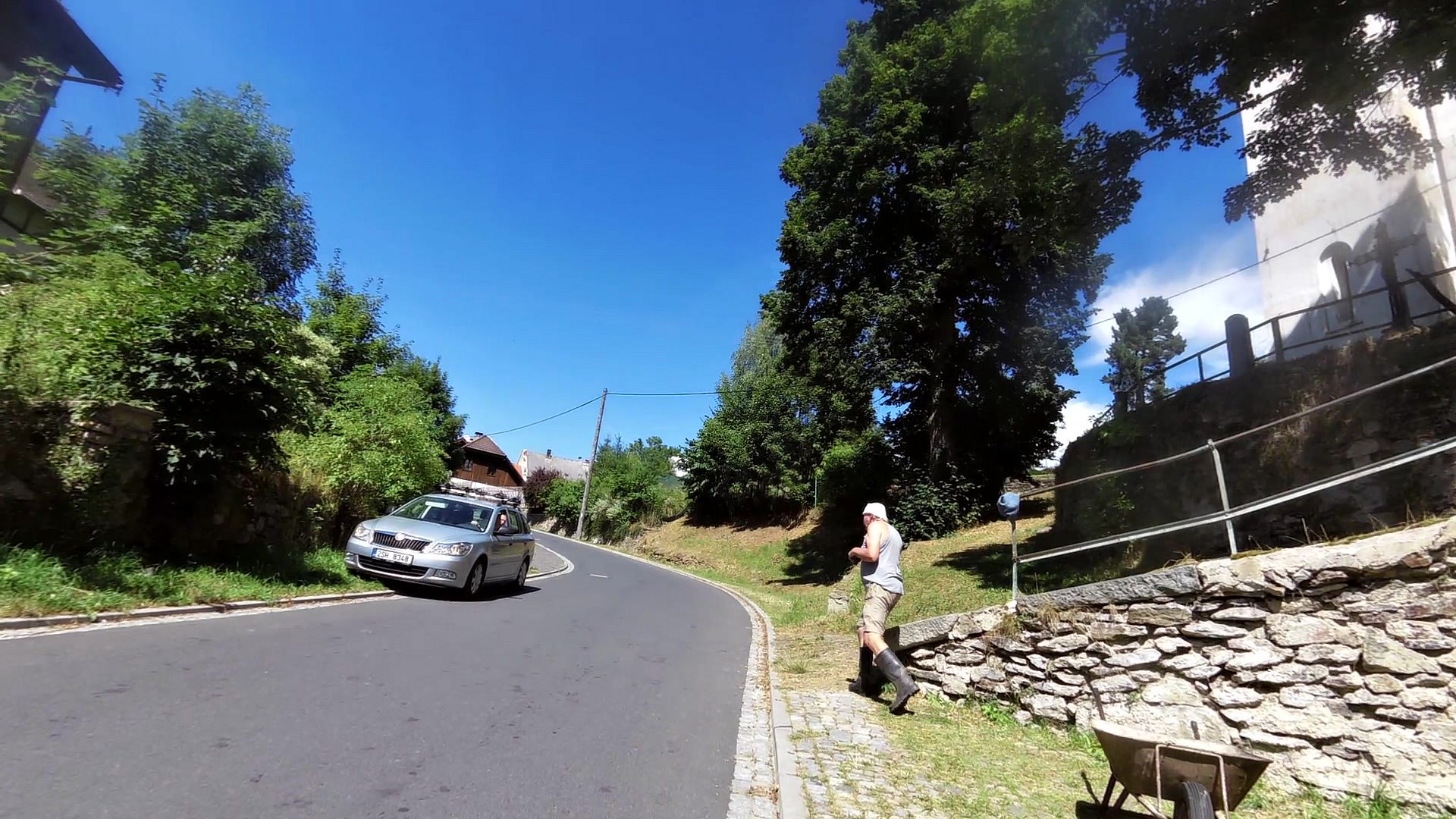
19.32km
total elevation:
775.50m
total descent:
691.20m
navigation:

| 0.00km from start |
19.32km to finish |
m elevation |
0m total elevation |
0m total descent |
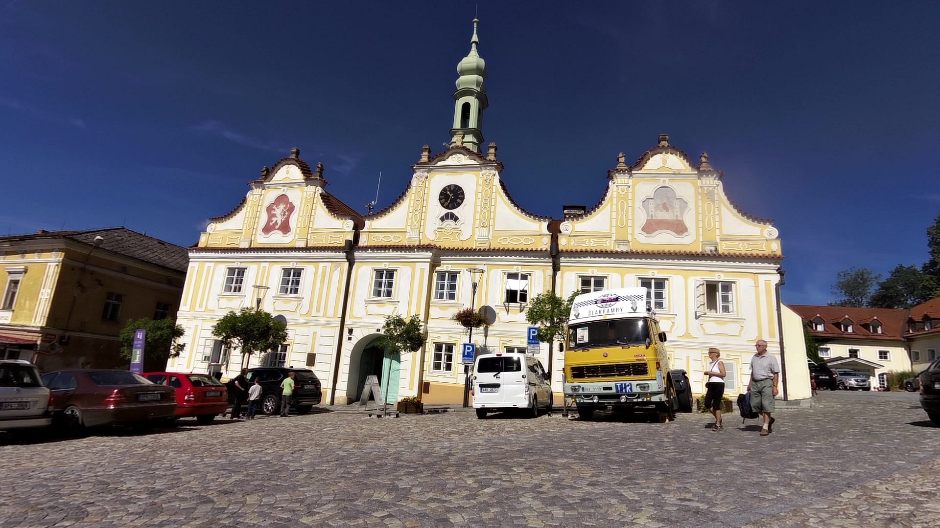
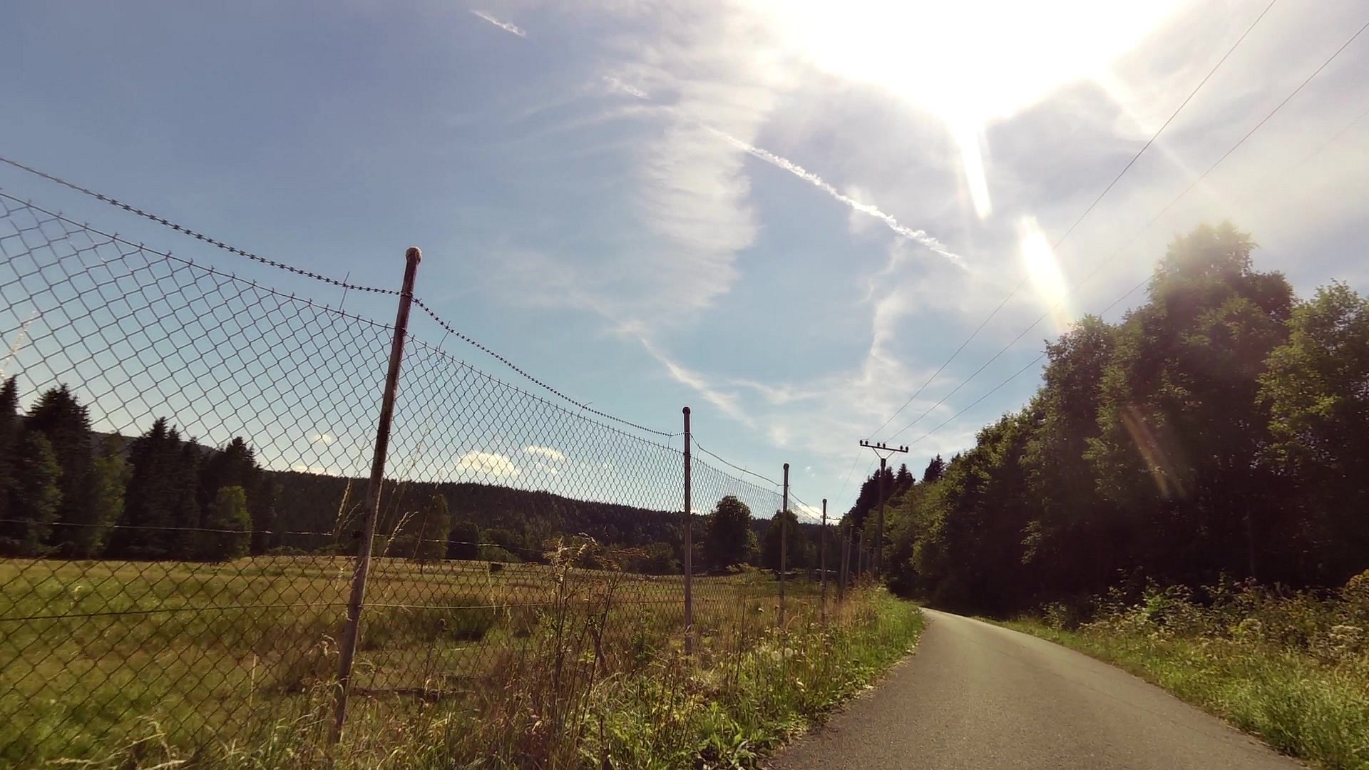
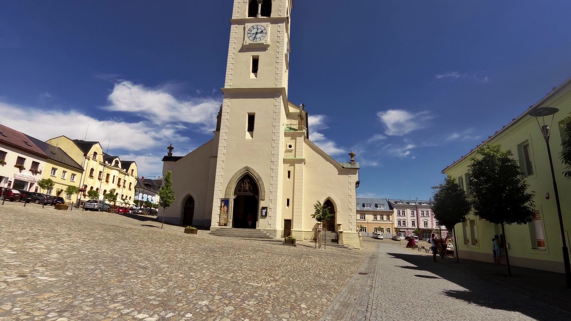
| Information center Kašperské Hory | map | video | |
| Historical Motorcycle Museum, Exposition of Czech toys | map | video | |
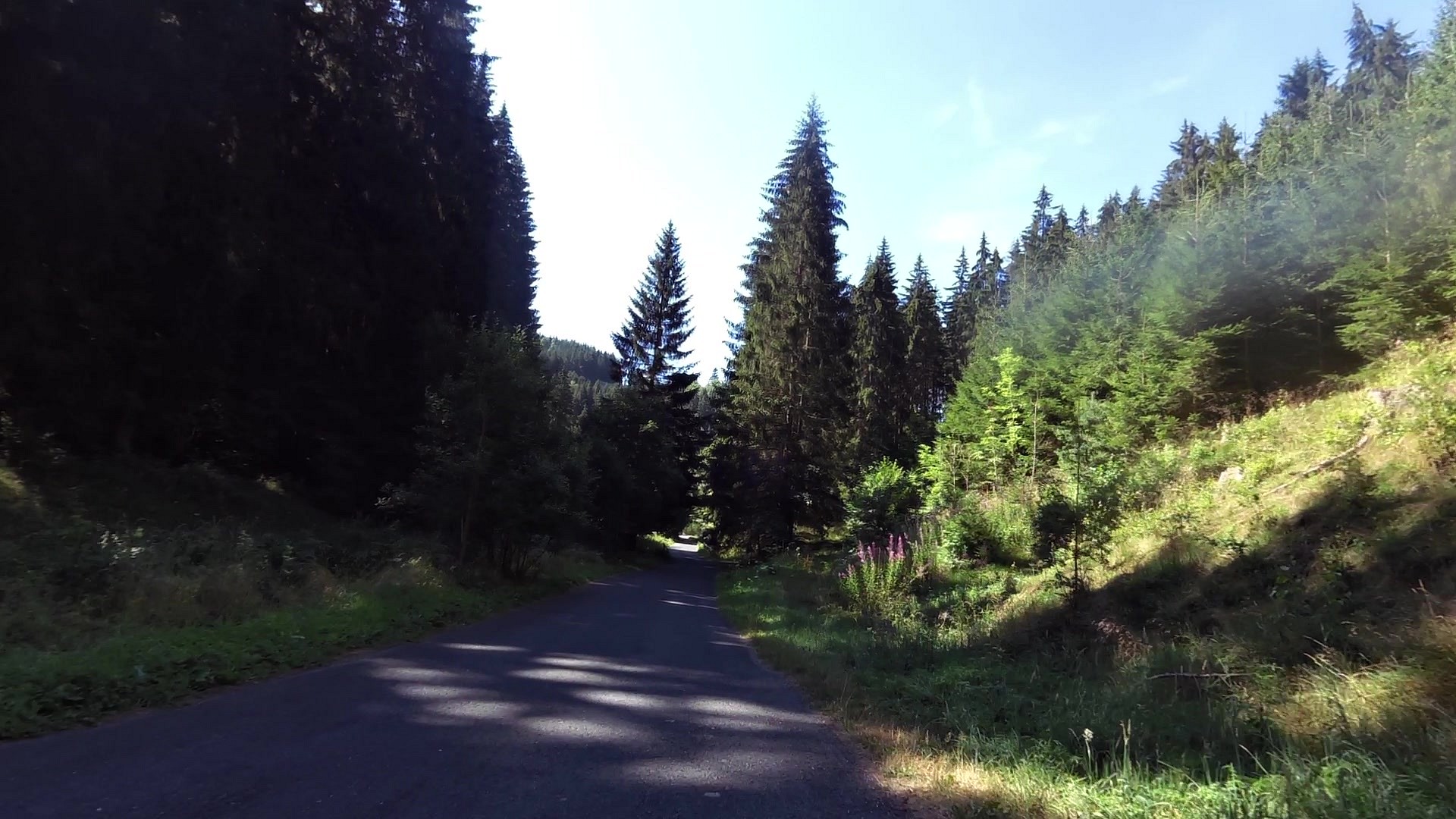
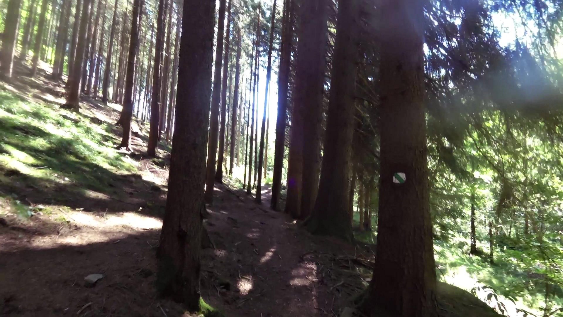
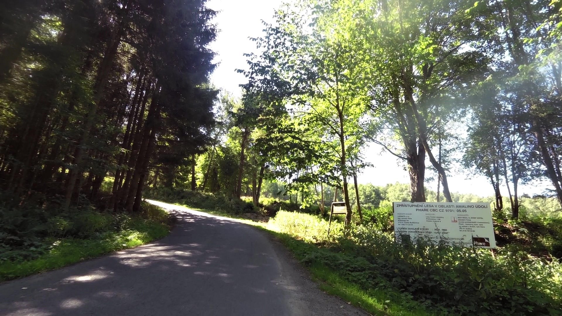
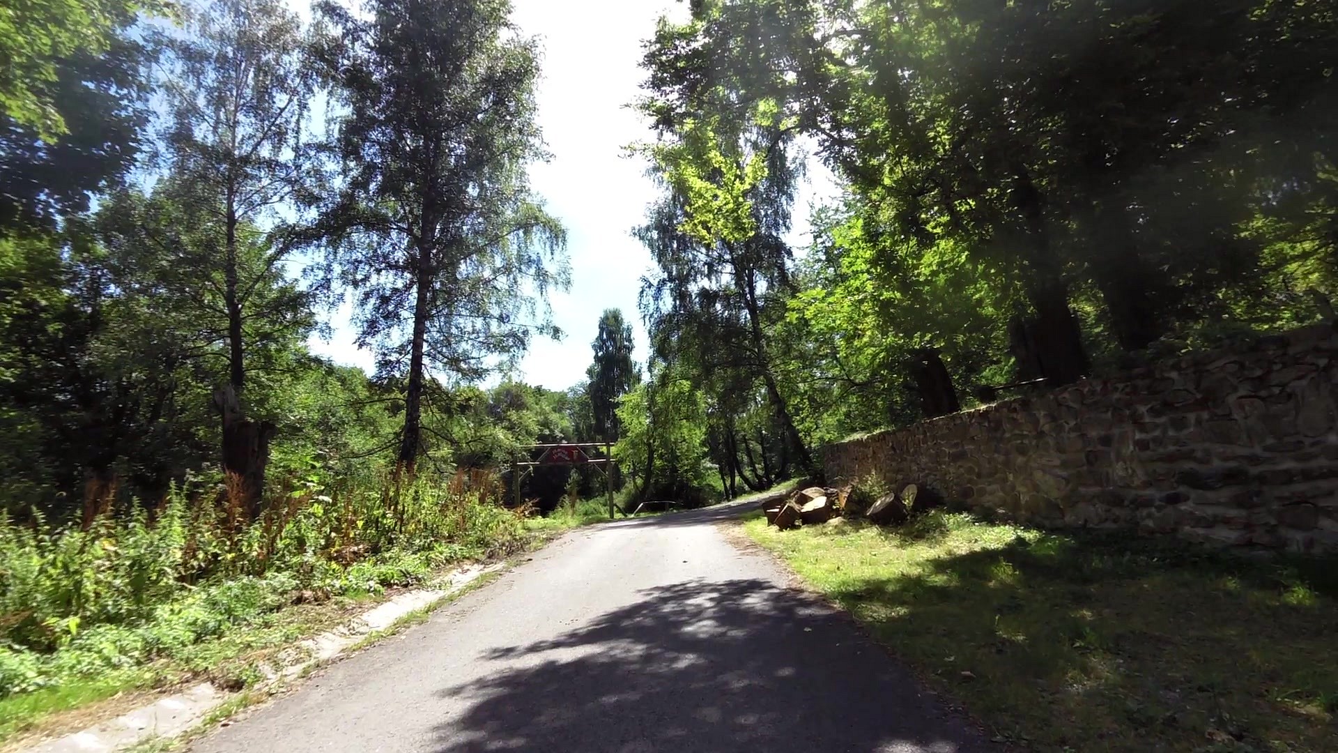
| Amálino valley | map | video | |
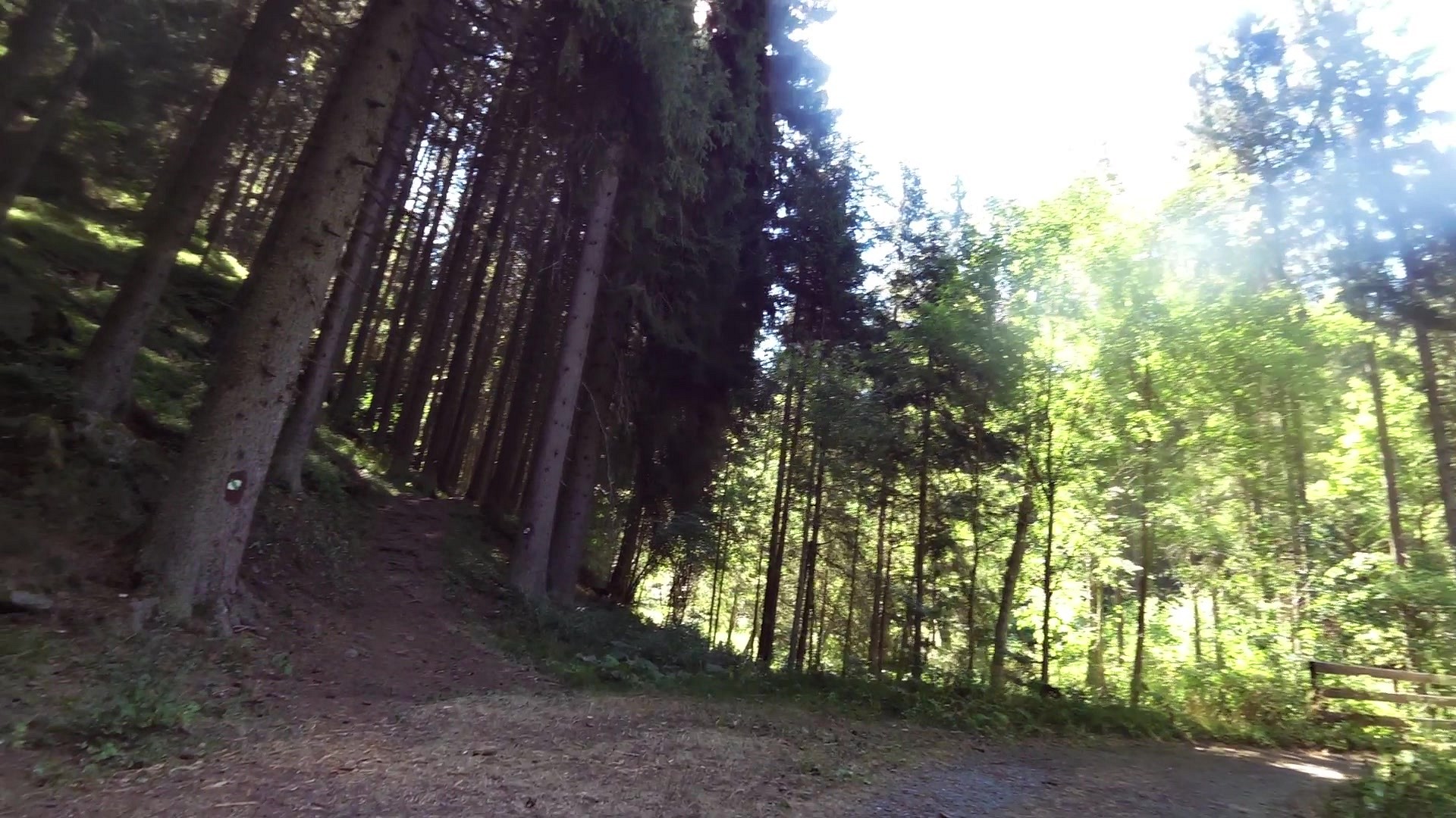
| Educational trail through gold miners way | map | video | |
| Seismic station of the Geophysical Institute of the Czech Academy of Sciences | map | video | |
| Private bison breeding | map | video | |
| Podlesí (Vogelsang) - ranch | map | video | |
| Malý Kozí Hřbet (picturesque settlement) | map | video |


![]() Back to the list of videoroutes
Back to the list of videoroutes


")


