like:
type:
Walking tour
difficulty:
Easy
length:
2.41km
total elevation:
554.70m
total descent:
23.80m
navigation:

| 0.00km from start |
2.41km to finish |
m elevation |
0m total elevation |
0m total descent |
| La Candelaria | map | video | |
| The monument of the Liberator | map | video | |
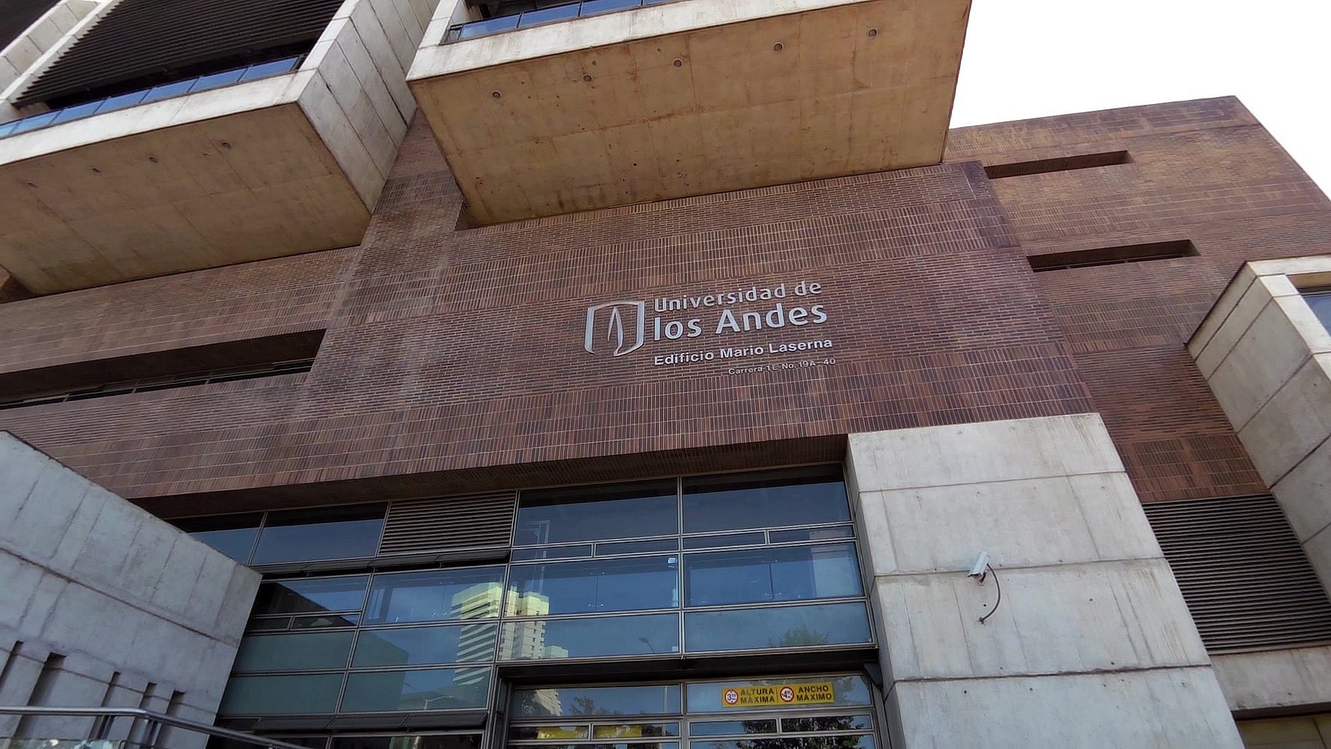
| University of the Andes in Bogota | map | video | |
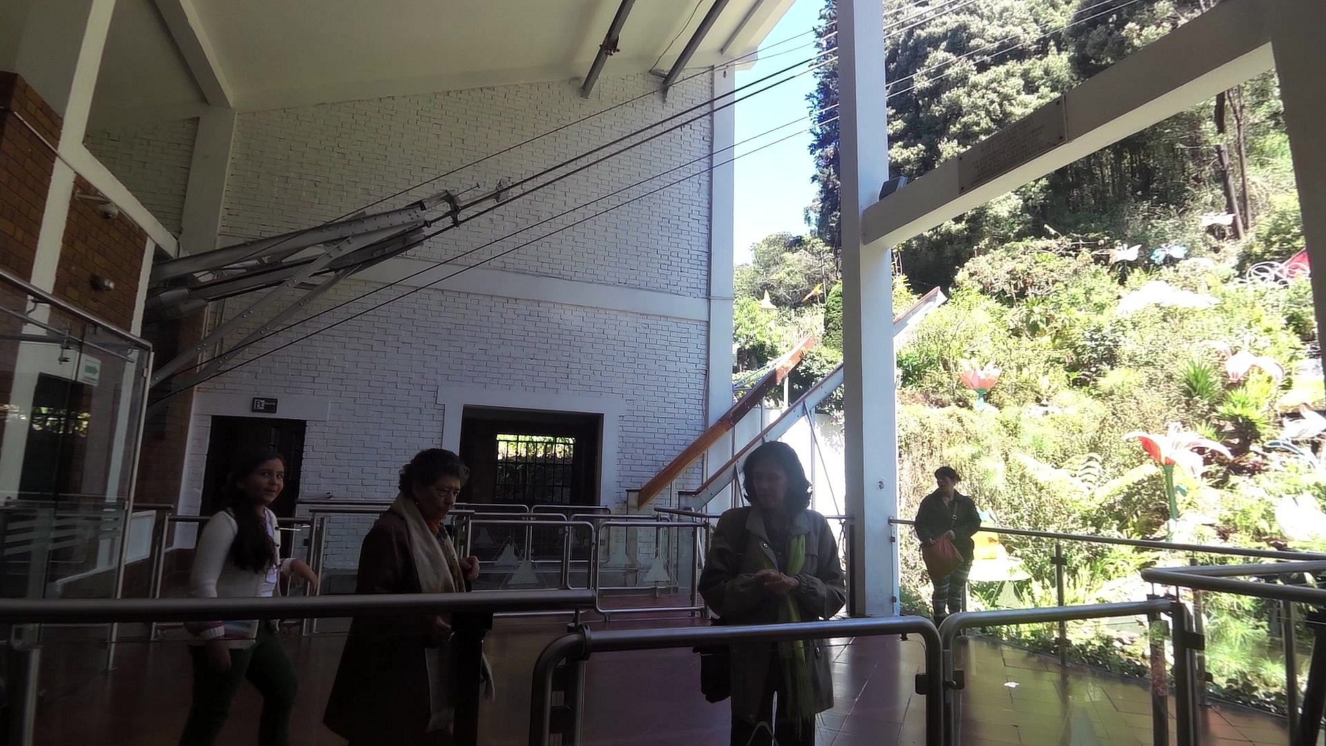
| The ticket office | map | video | |
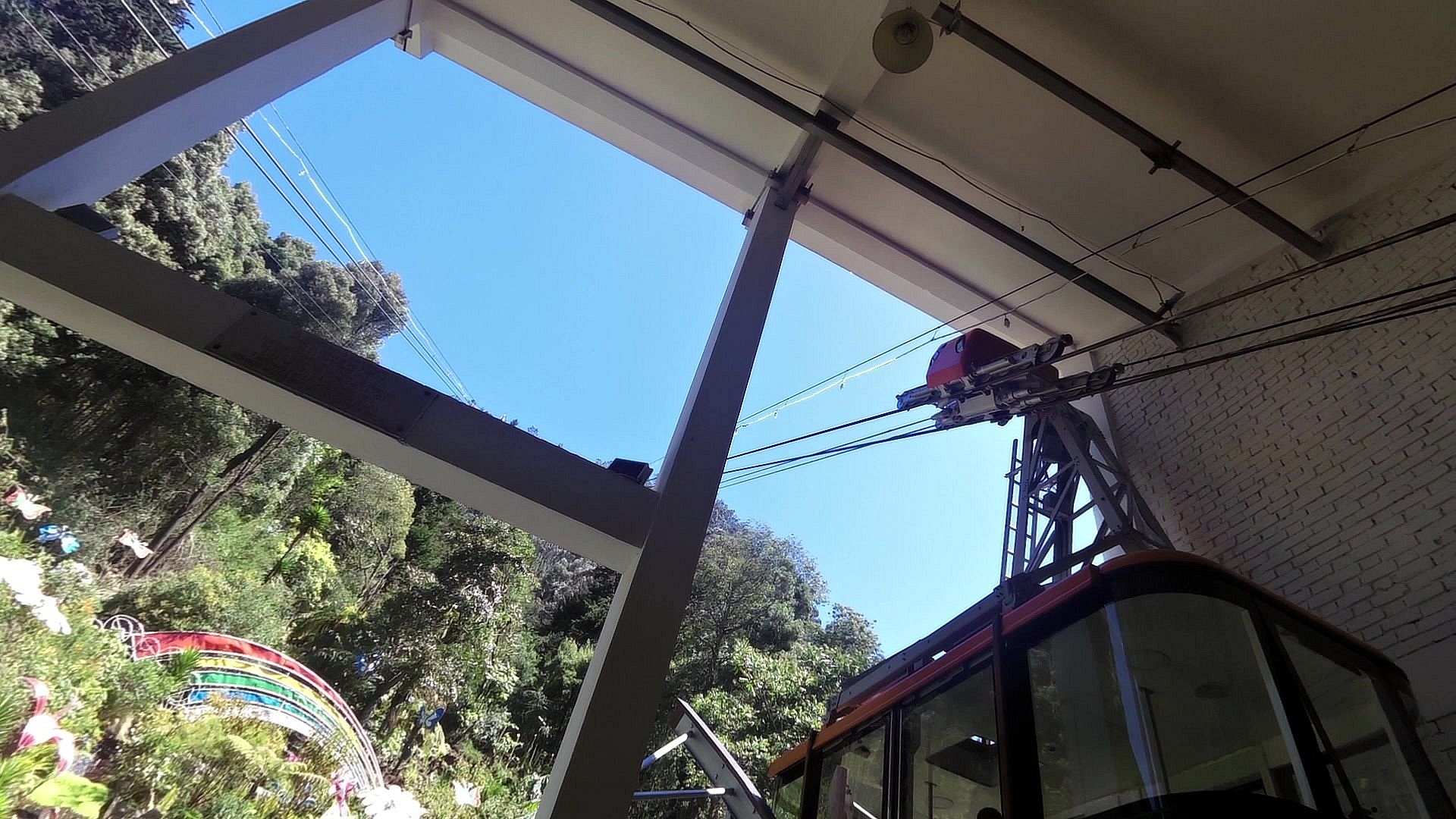
| The lower cable car station | map | video | |
| The upper cable car station | map | video | |
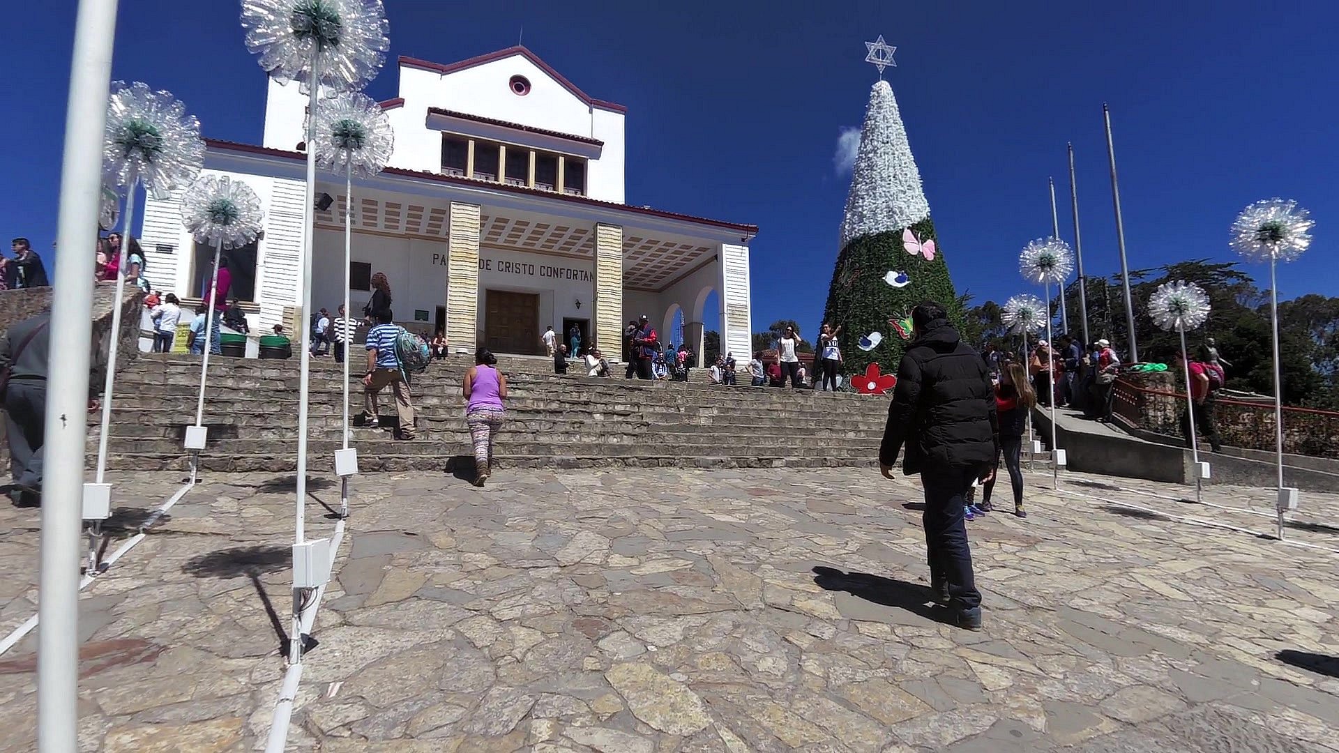
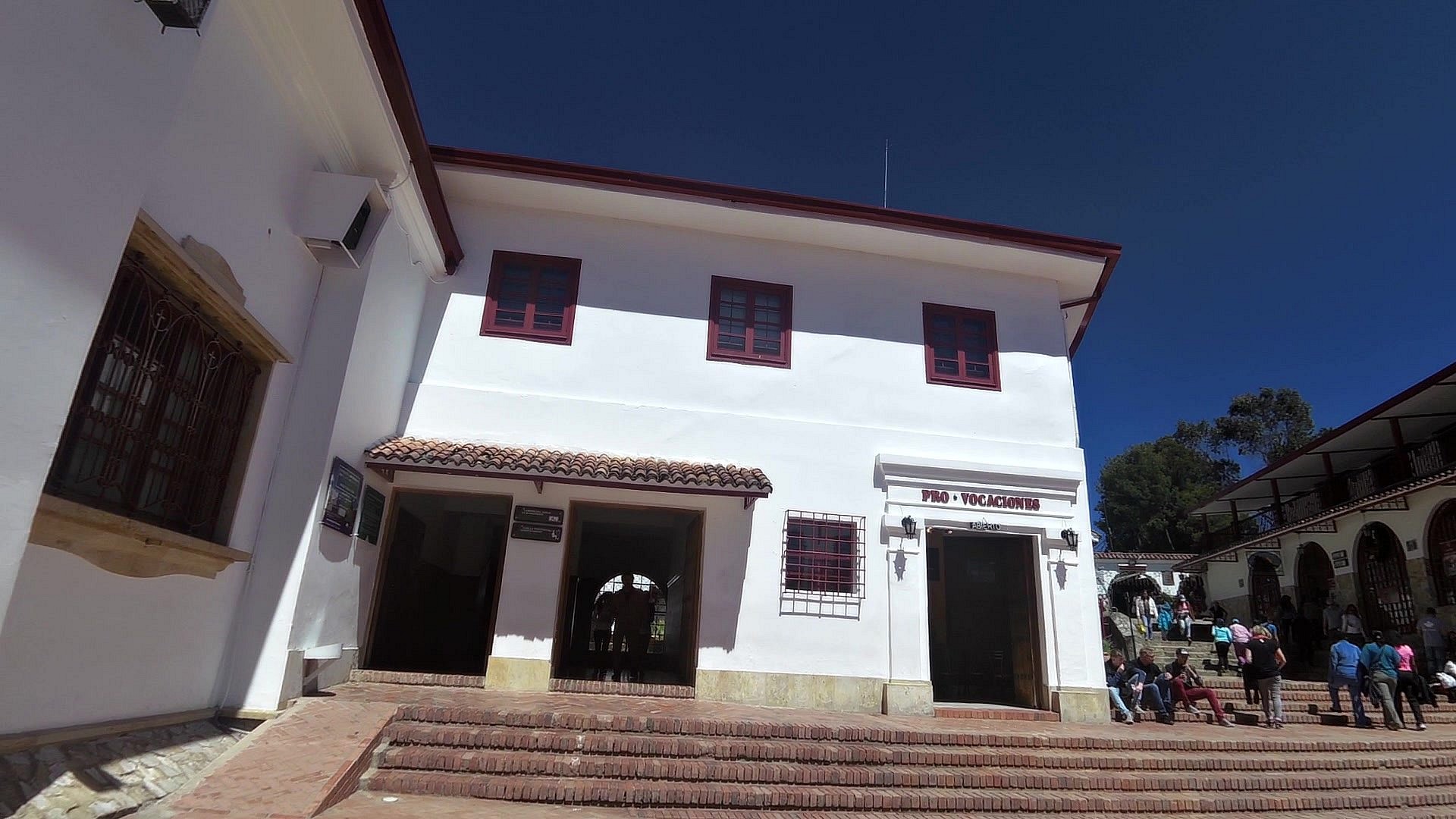
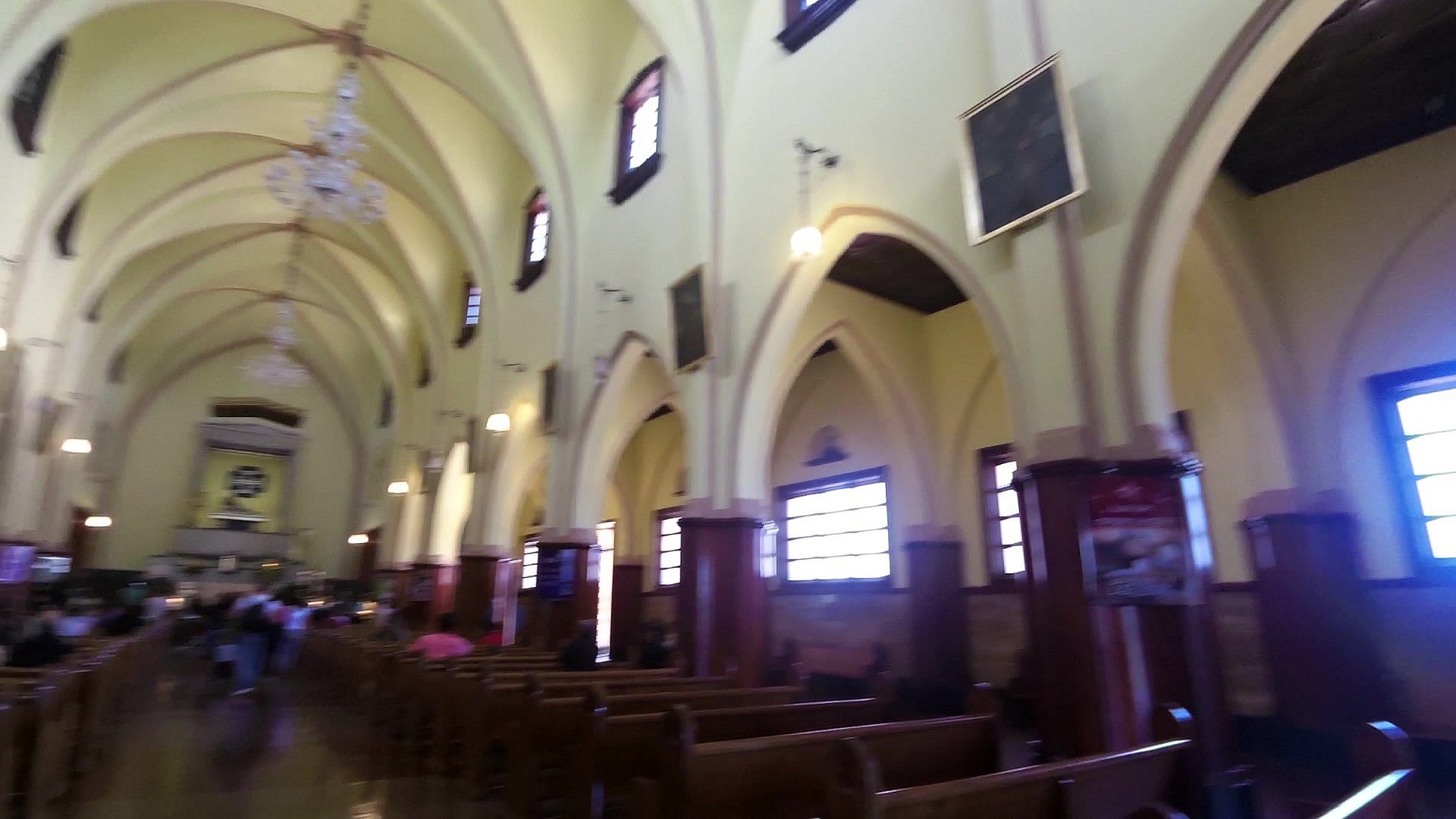
| The Basilica of the fallen lord of Montserrat | map | video | |
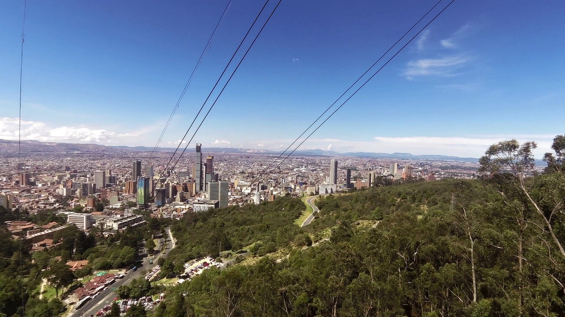
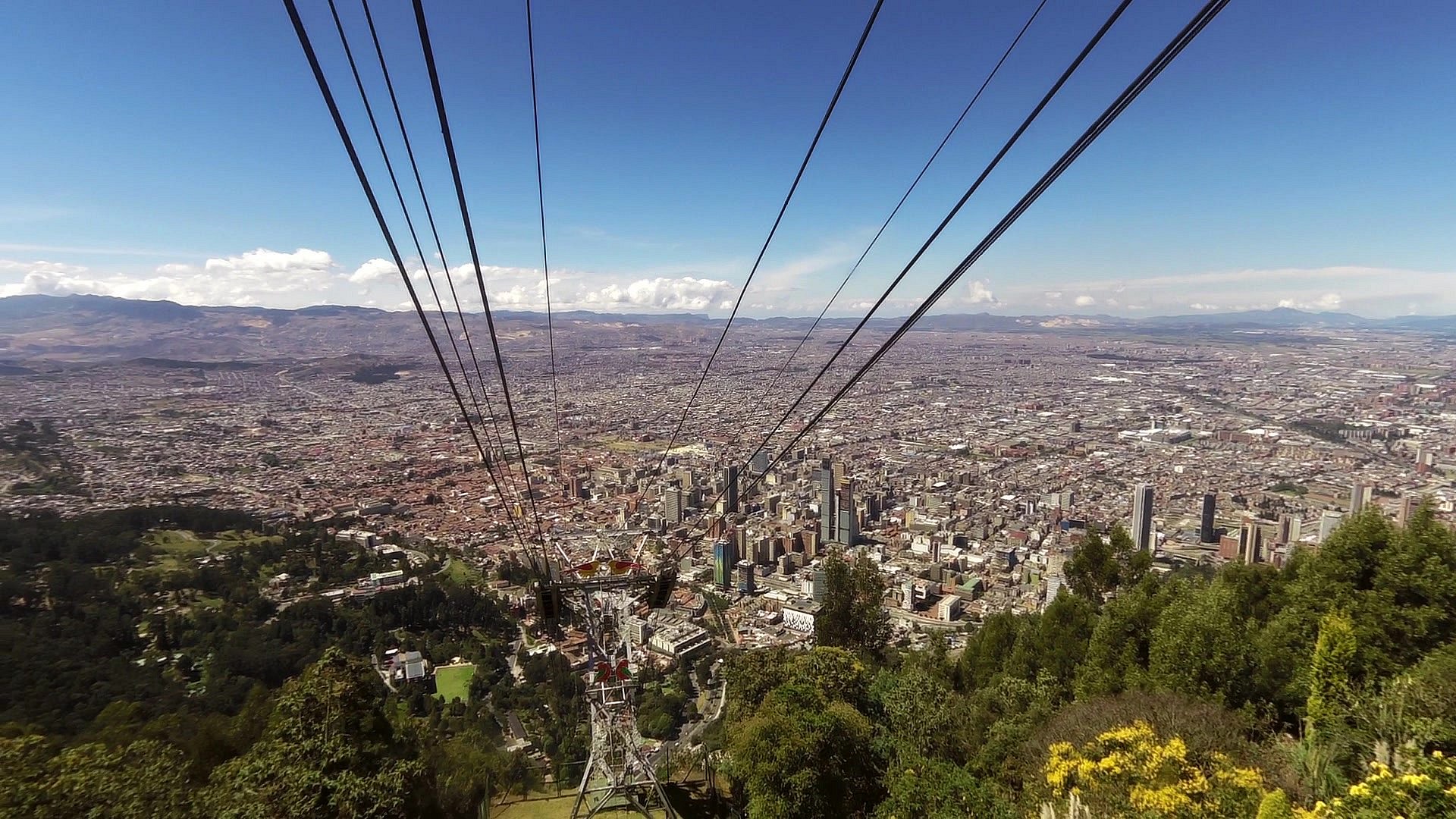
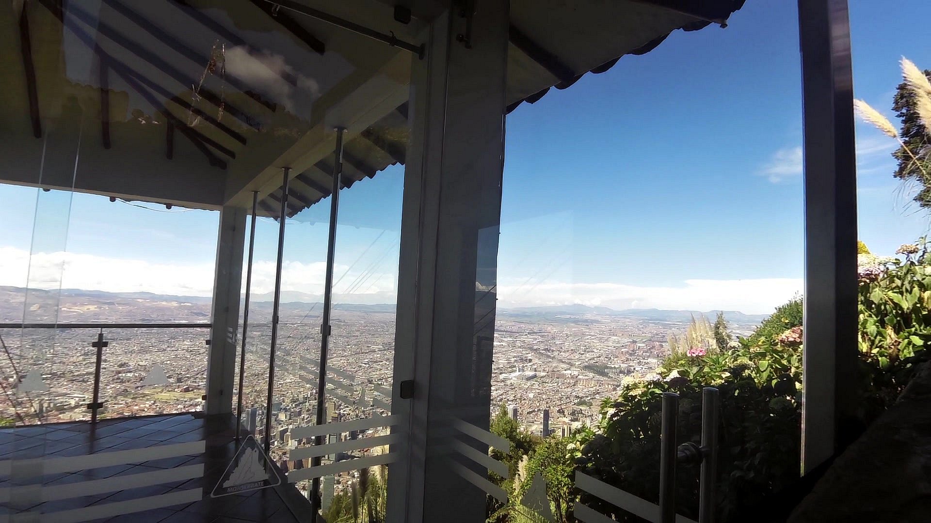
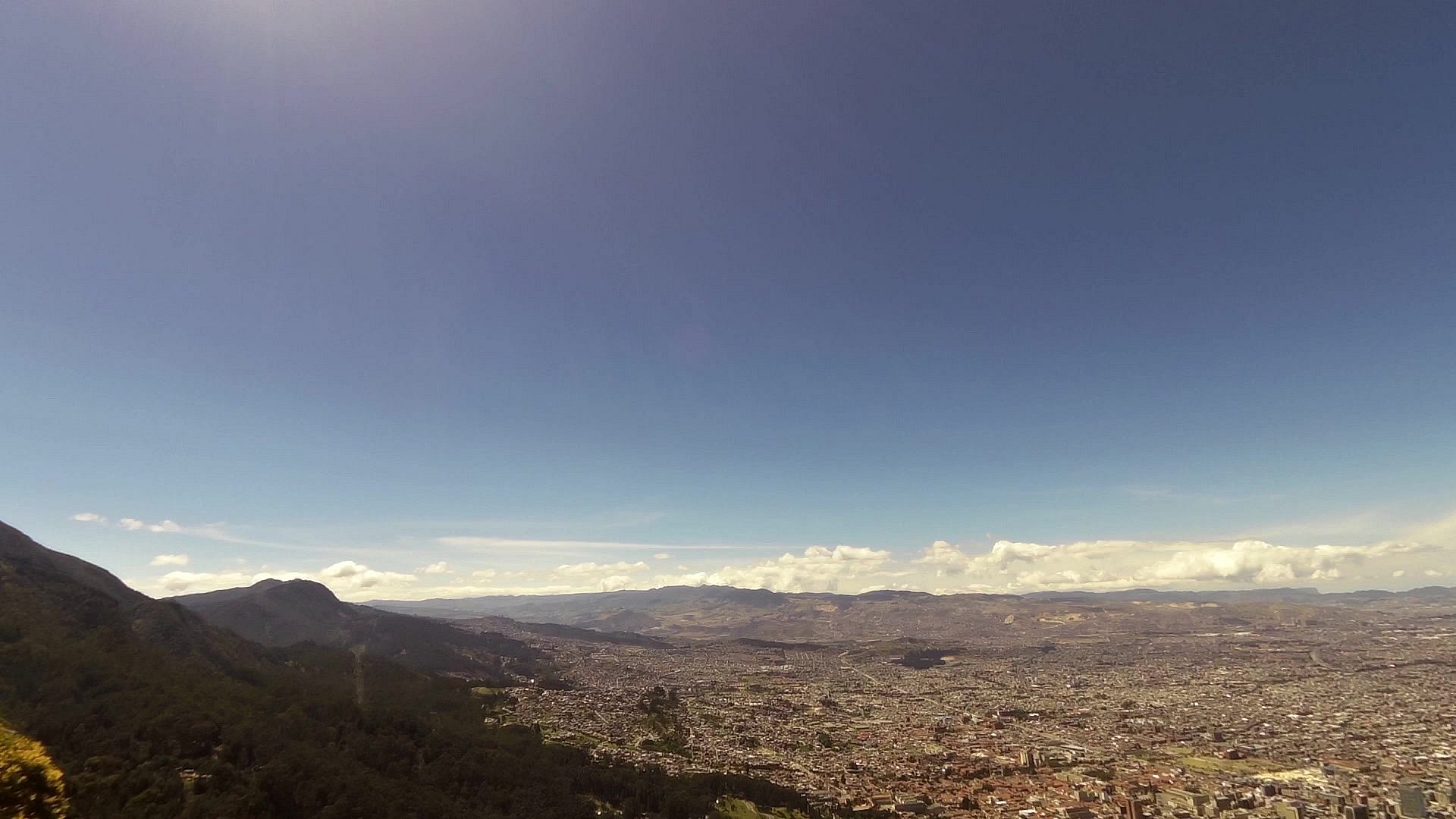
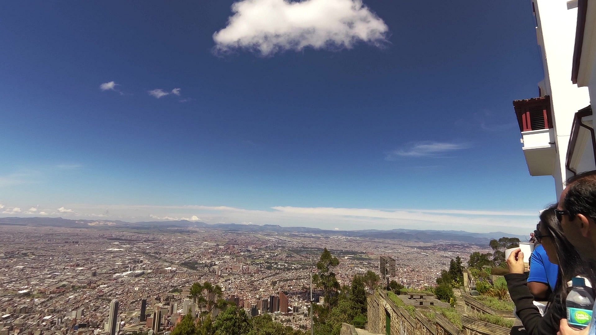
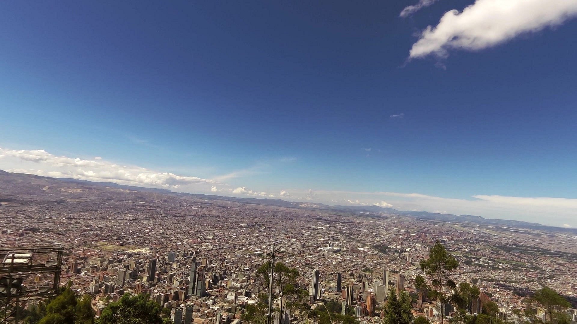
| A view of Bogota | map | video | |
| The Montserrat mountain | map | video |
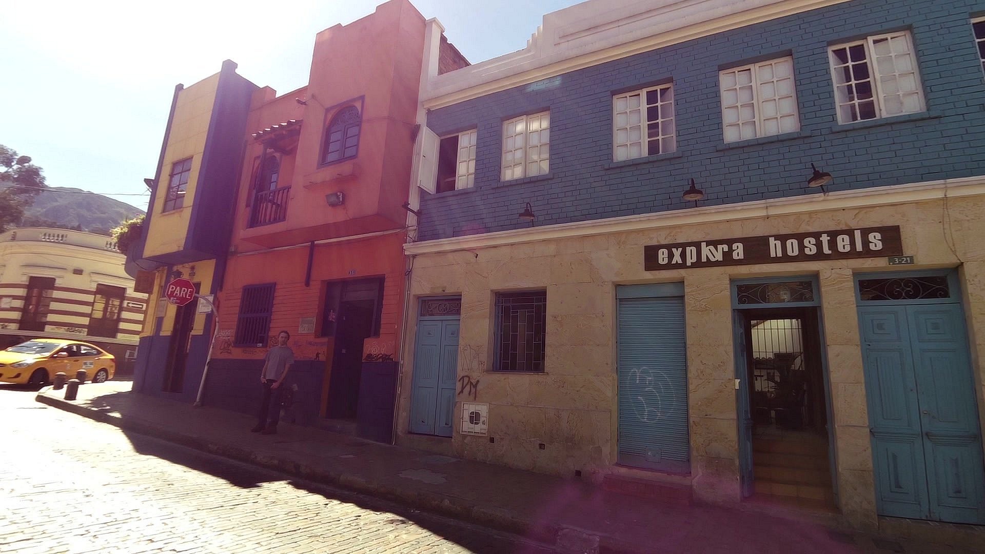
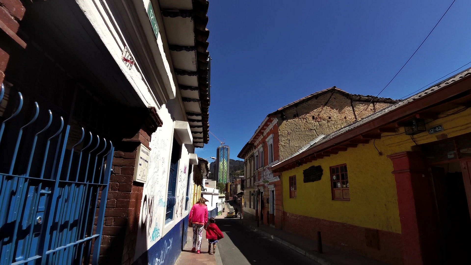
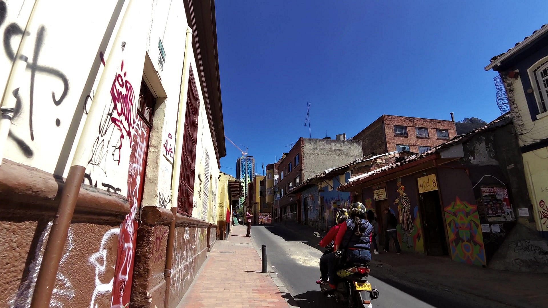
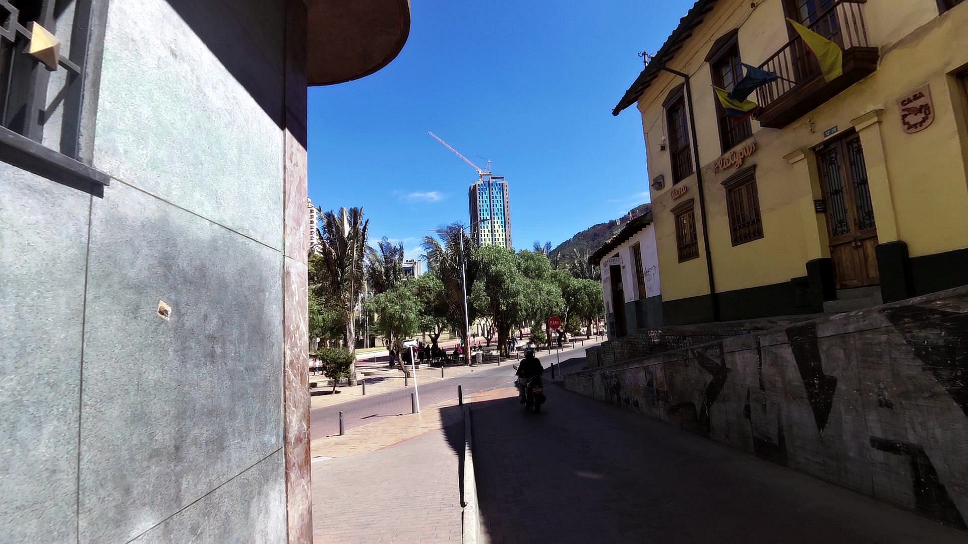
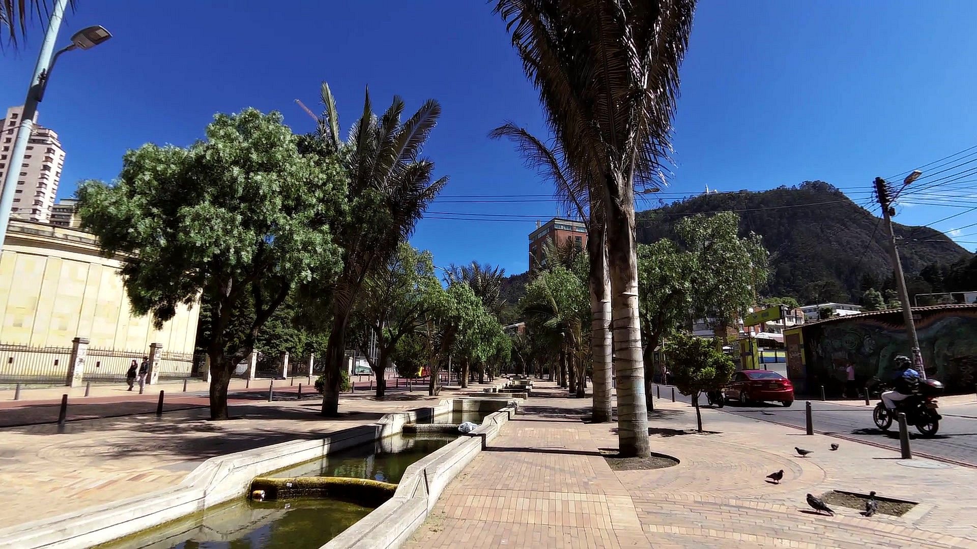
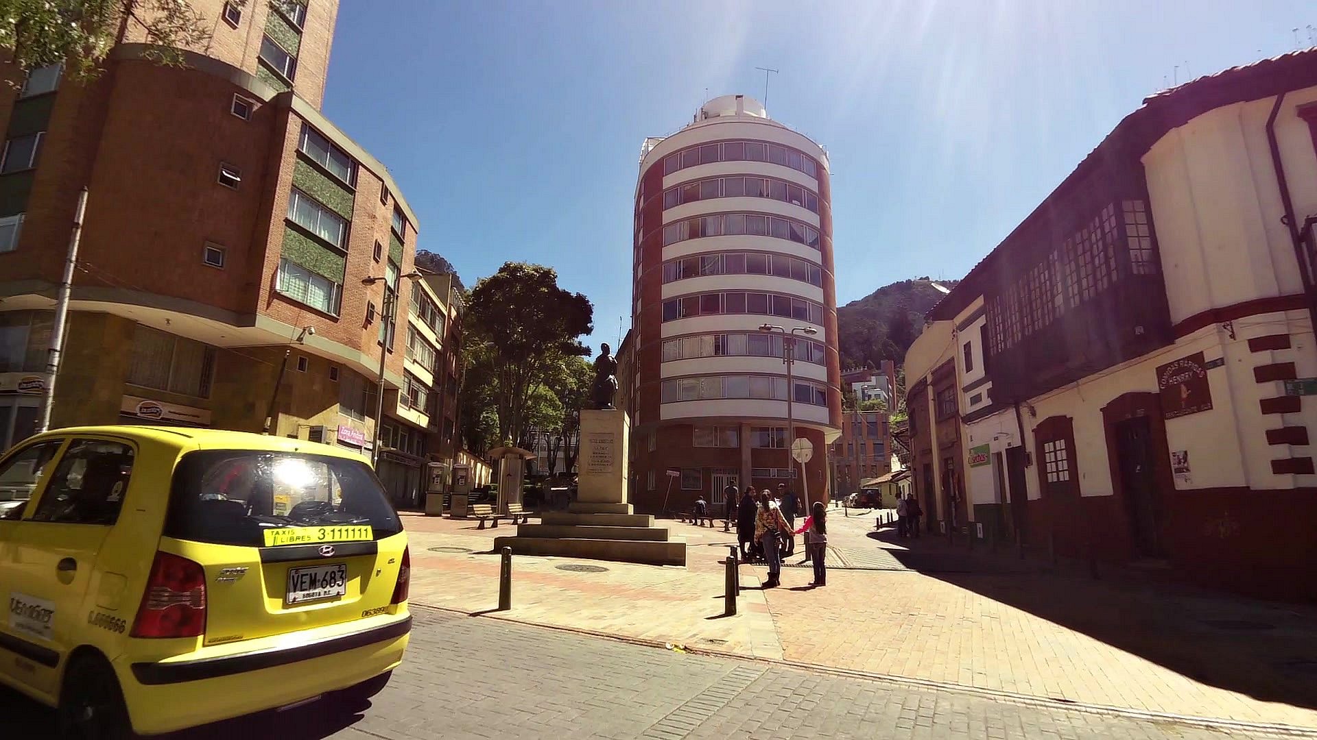
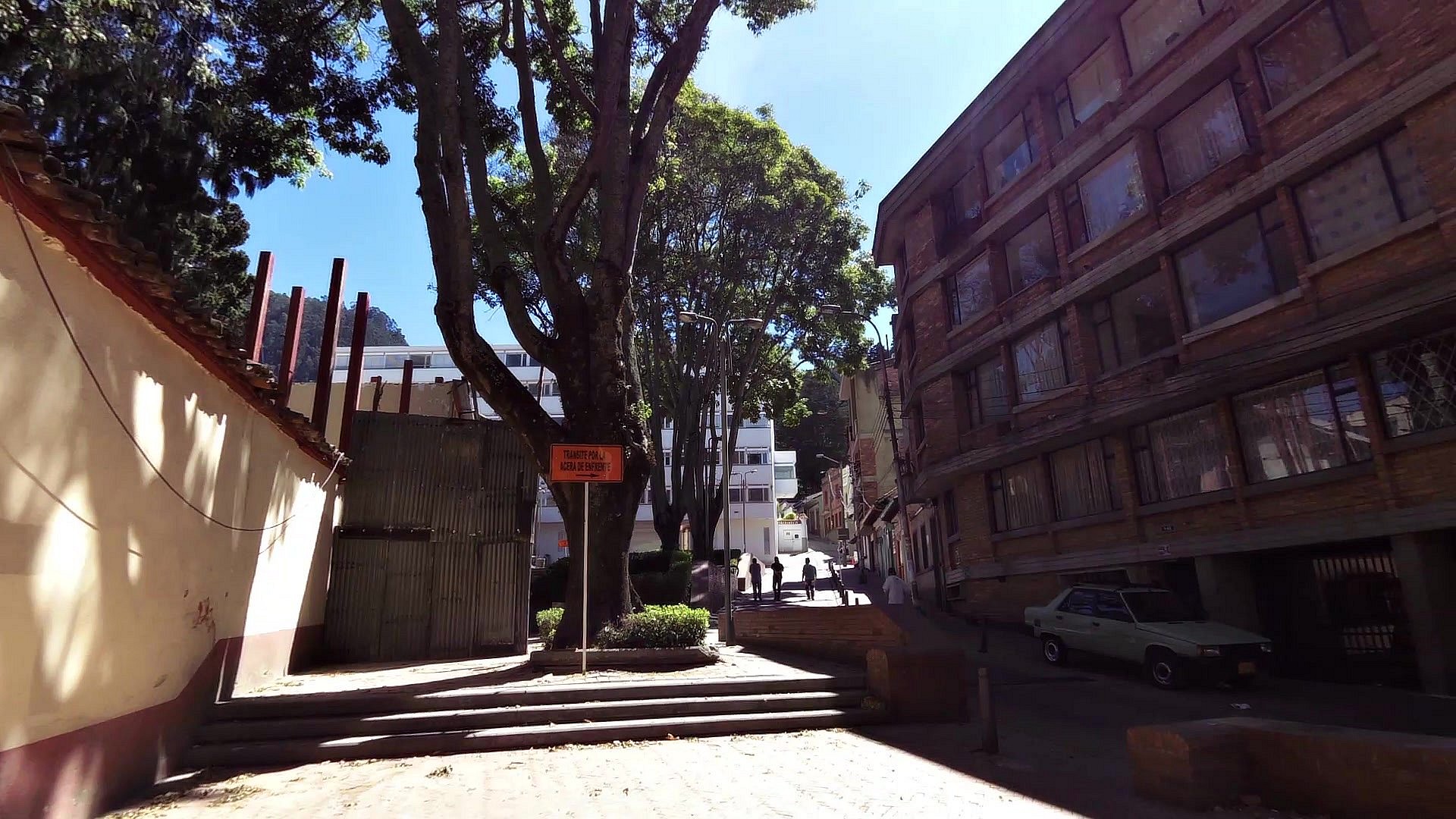
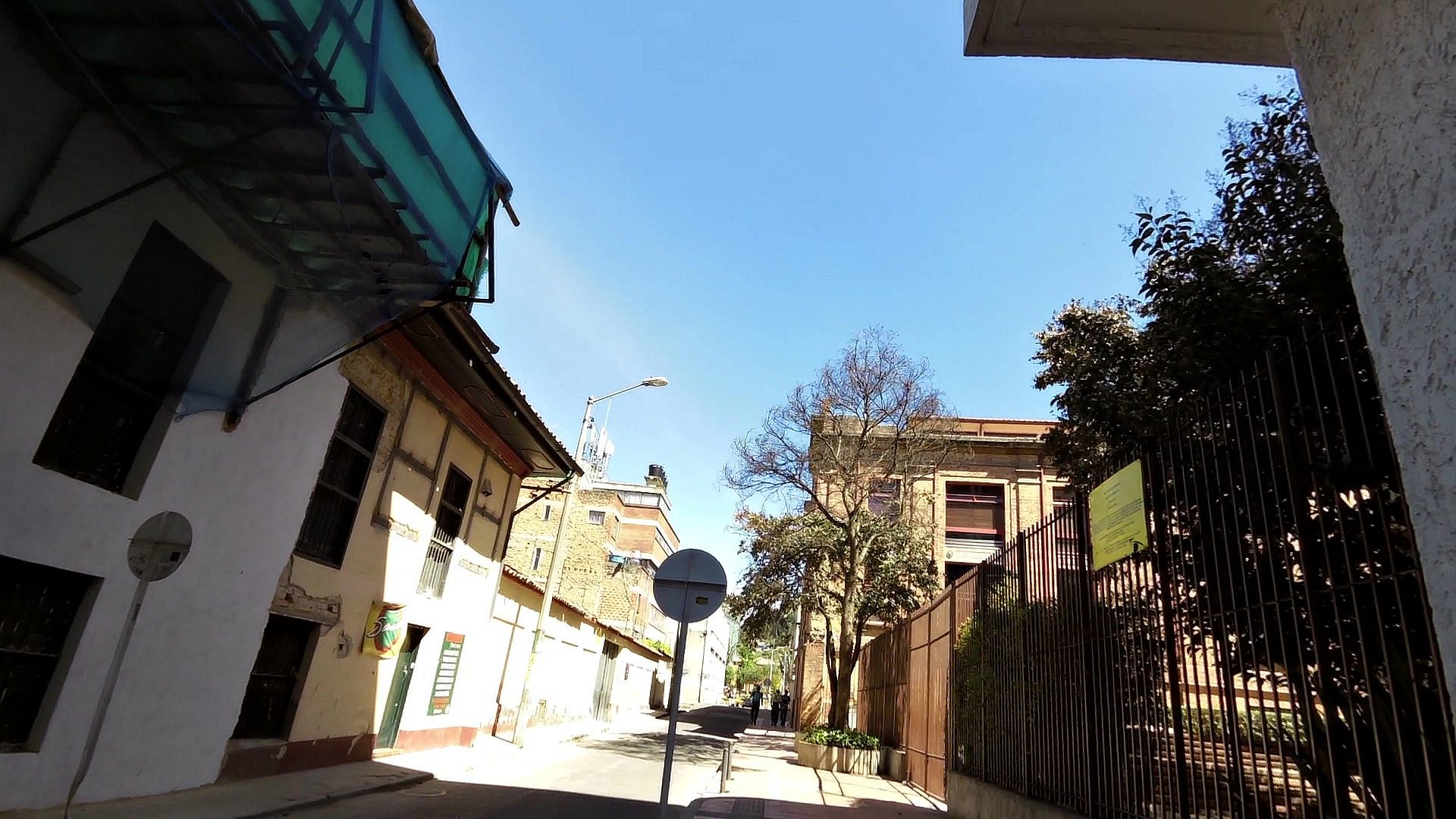
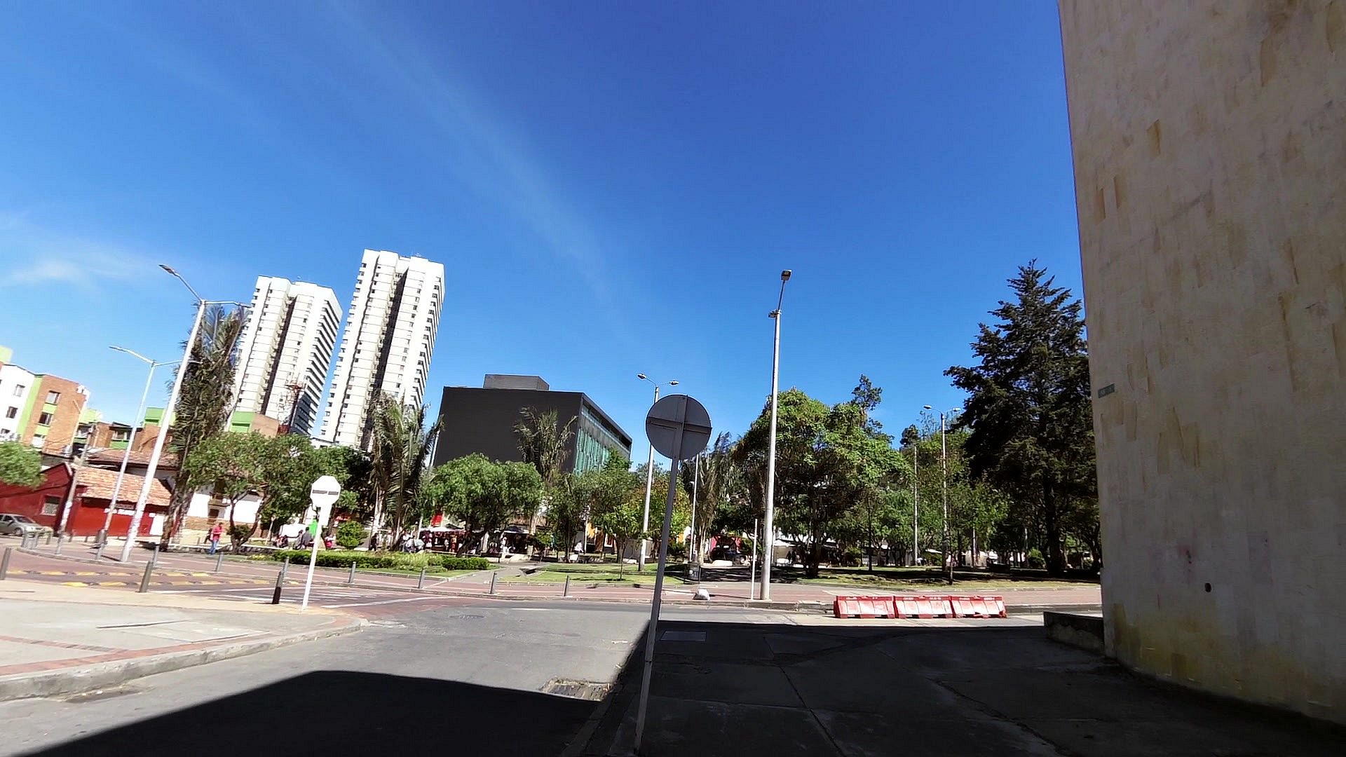
La Candelaria district is a historical (old) district located right next to the modern center of Bogota. There are good hostels and hotels, museums, cafés mostly built in the colonial style, but the baroque and art deco styles can also be found here.
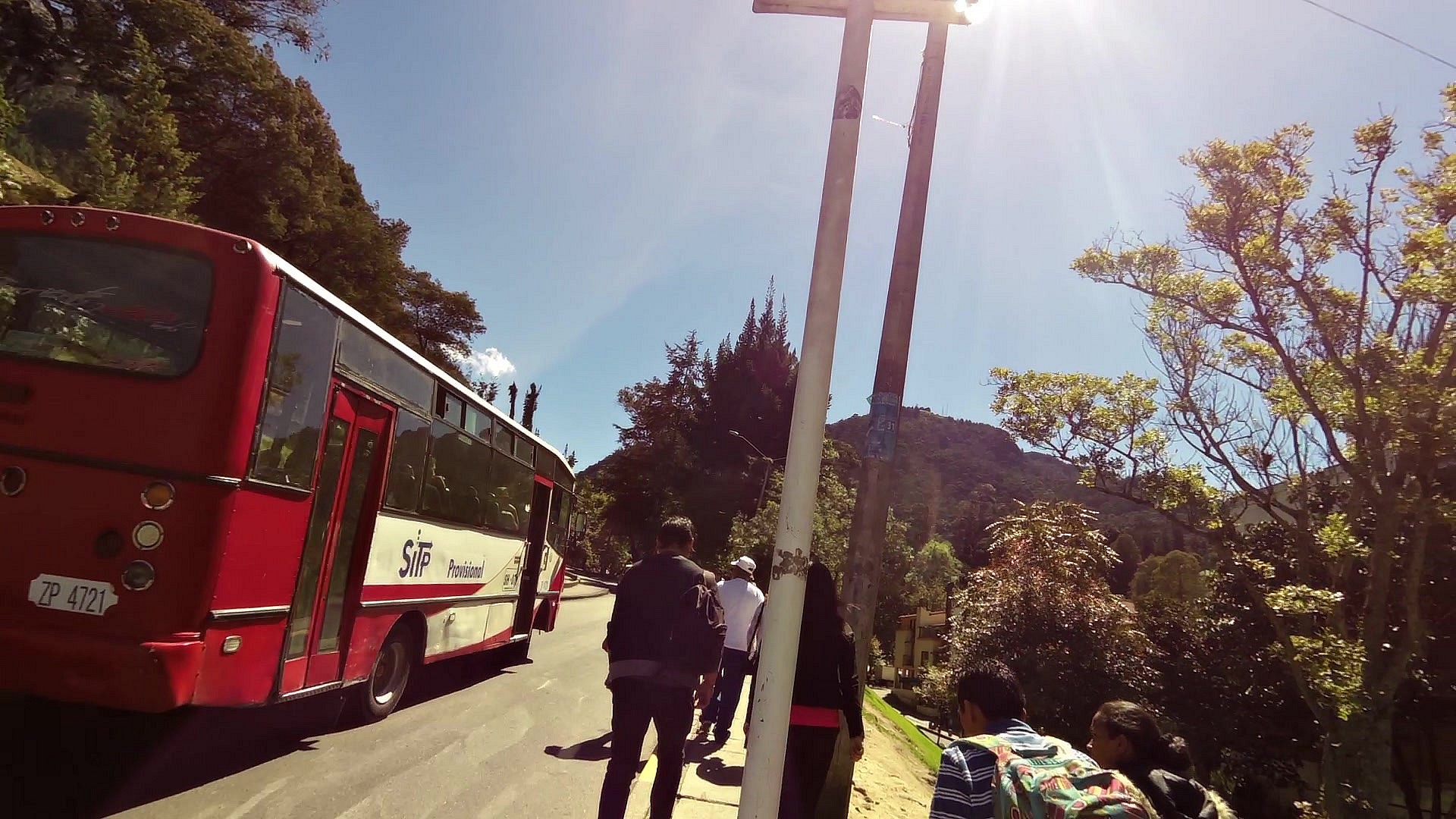
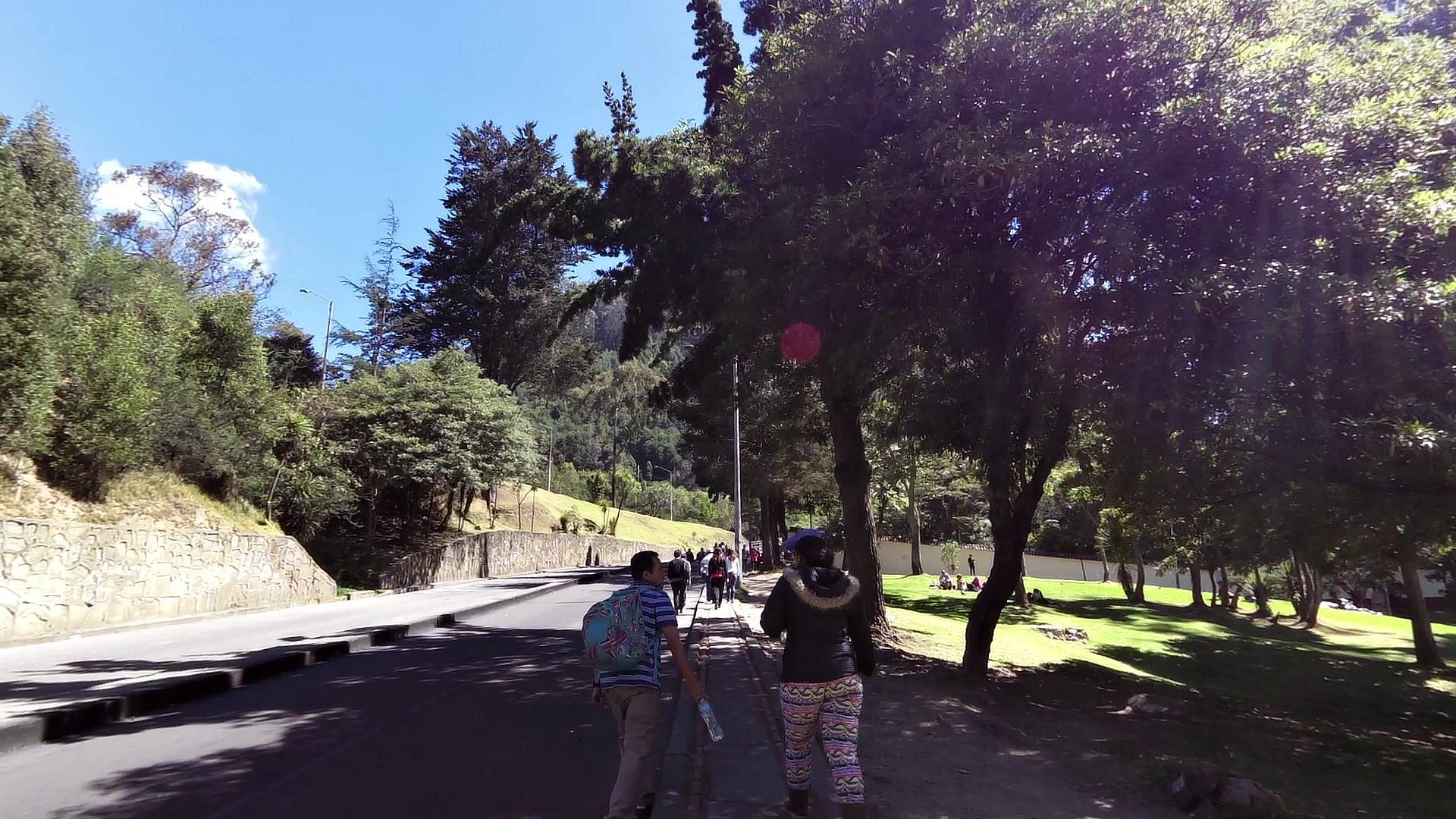
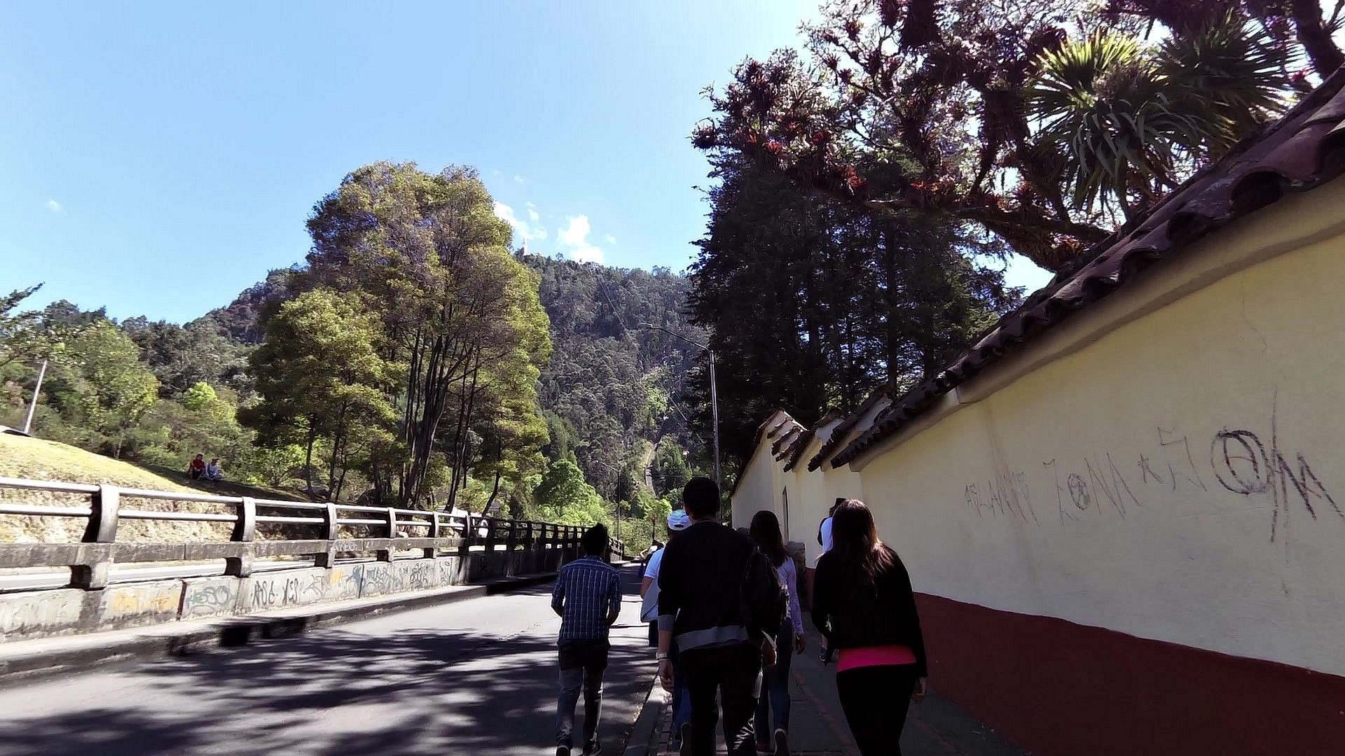
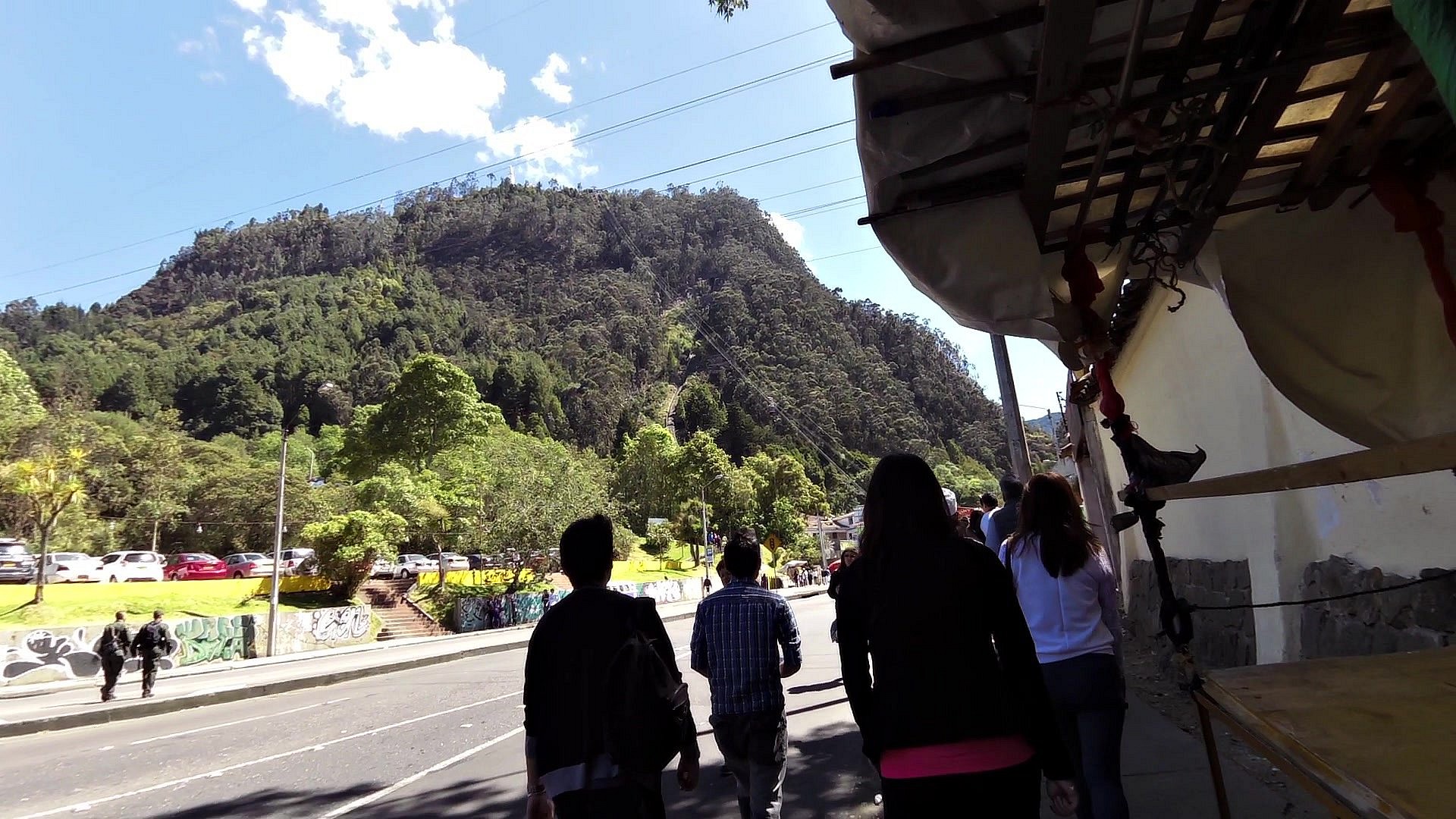
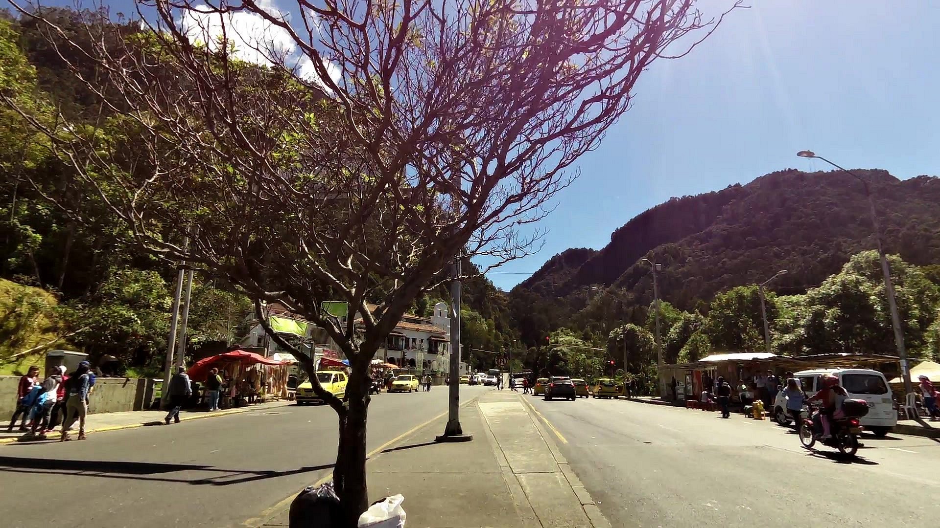
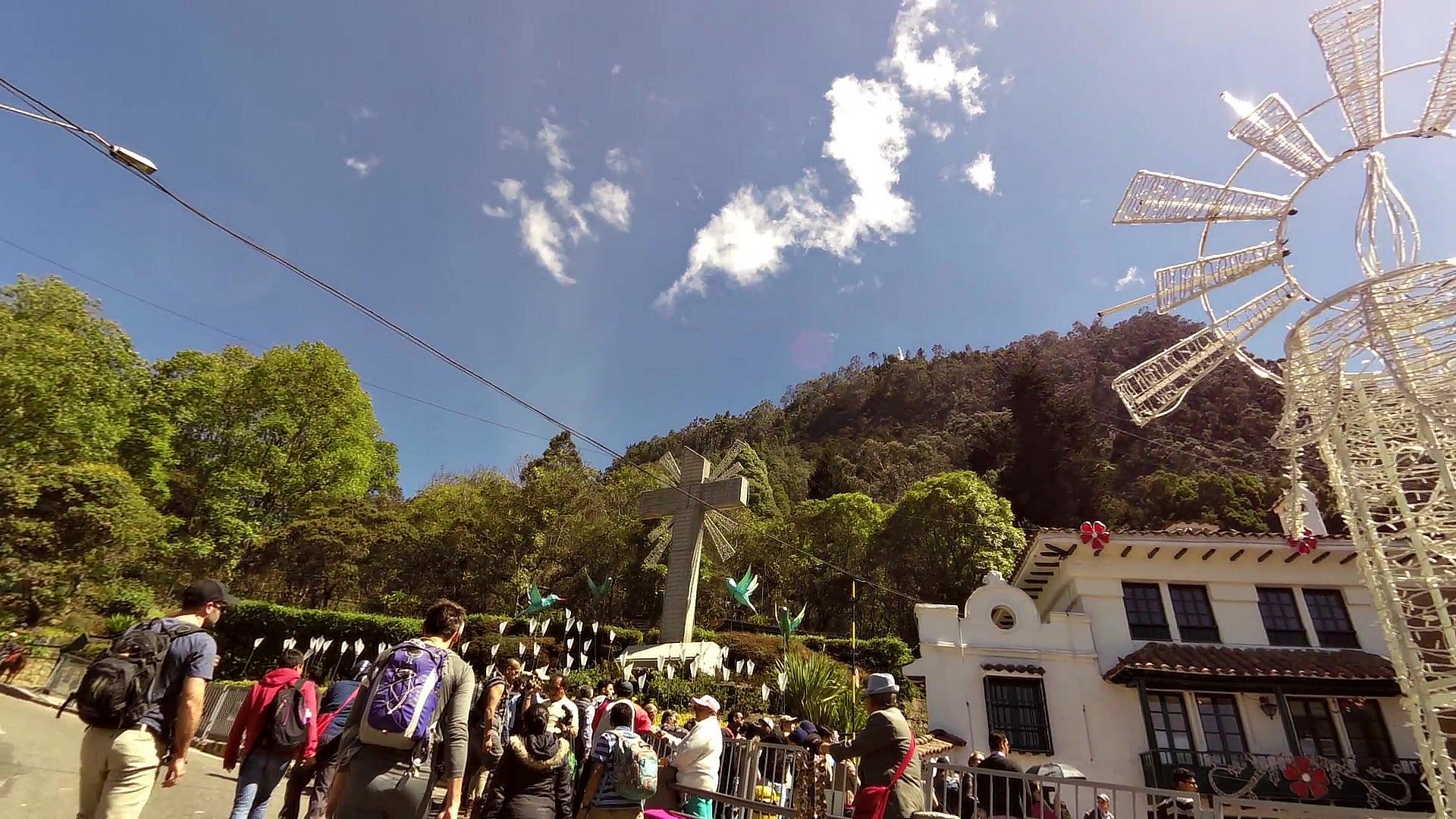
It is a short walk from the district of La Candelaria to the bottom station of the cableway to the Montserrat Hill, which is one of the major landmarks of Bogota. Its peak is at an altitude of 3,152m above sea level. Montserrat is a popular tourist place for the residents of Bogota and of course the tourists. The top of the hill can be reached either by a cable car or a train. The more experienced hikers can go up on foot. You can find a Catholic church from 1925 right at the top and of course the stalls with souvenirs, textiles, food stalls and restaurants with the typical columbian cuisine.
For current prices and timetable, see the website www.cerromonserrate.com


![]() Back to the list of videoroutes
Back to the list of videoroutes
")


