like:
type:
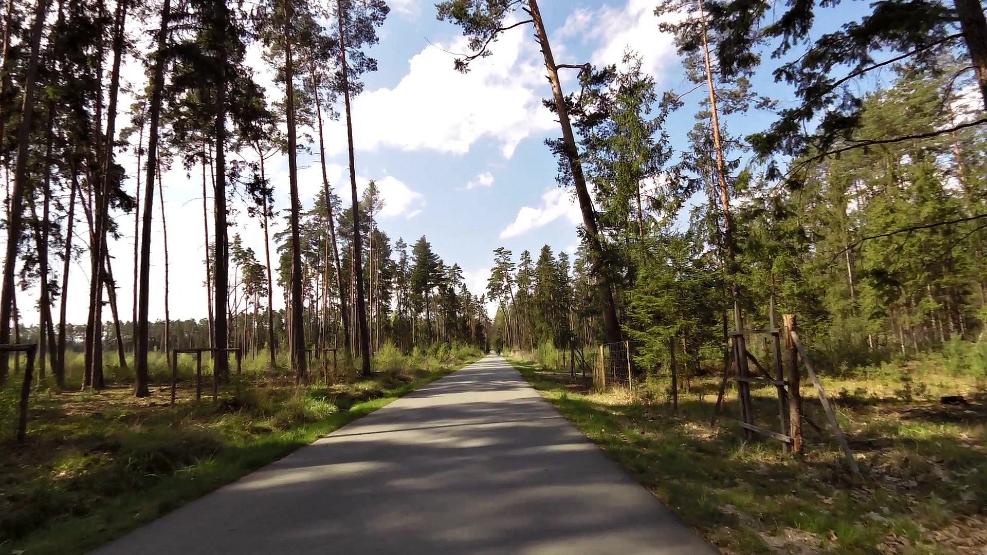
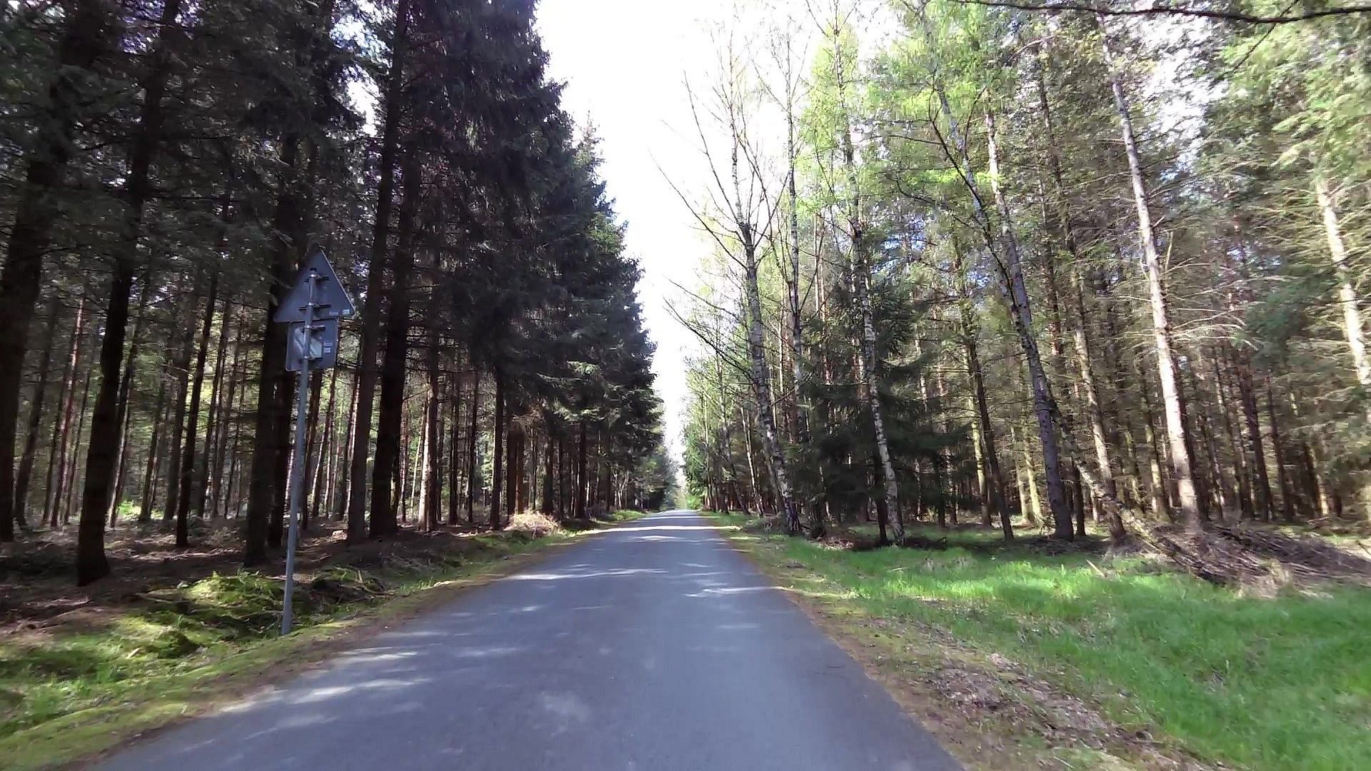
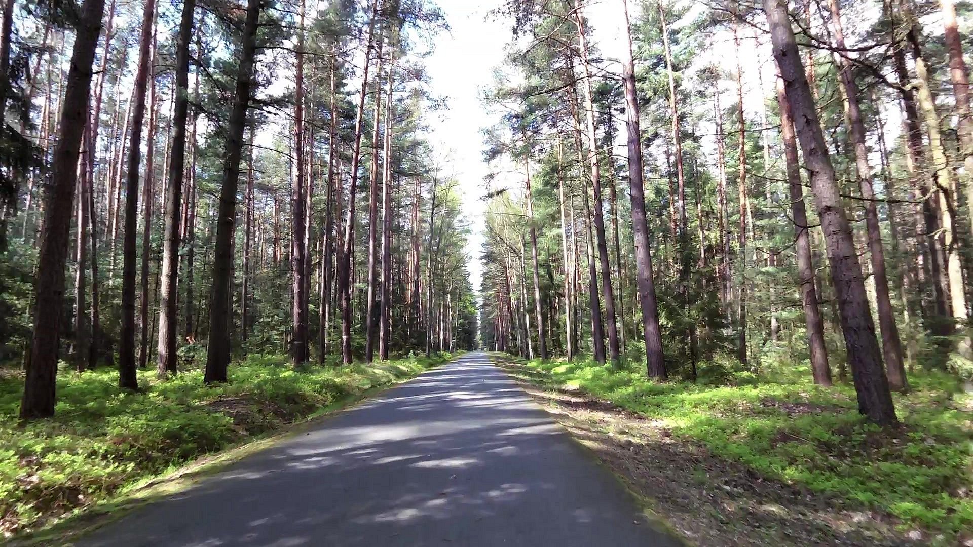
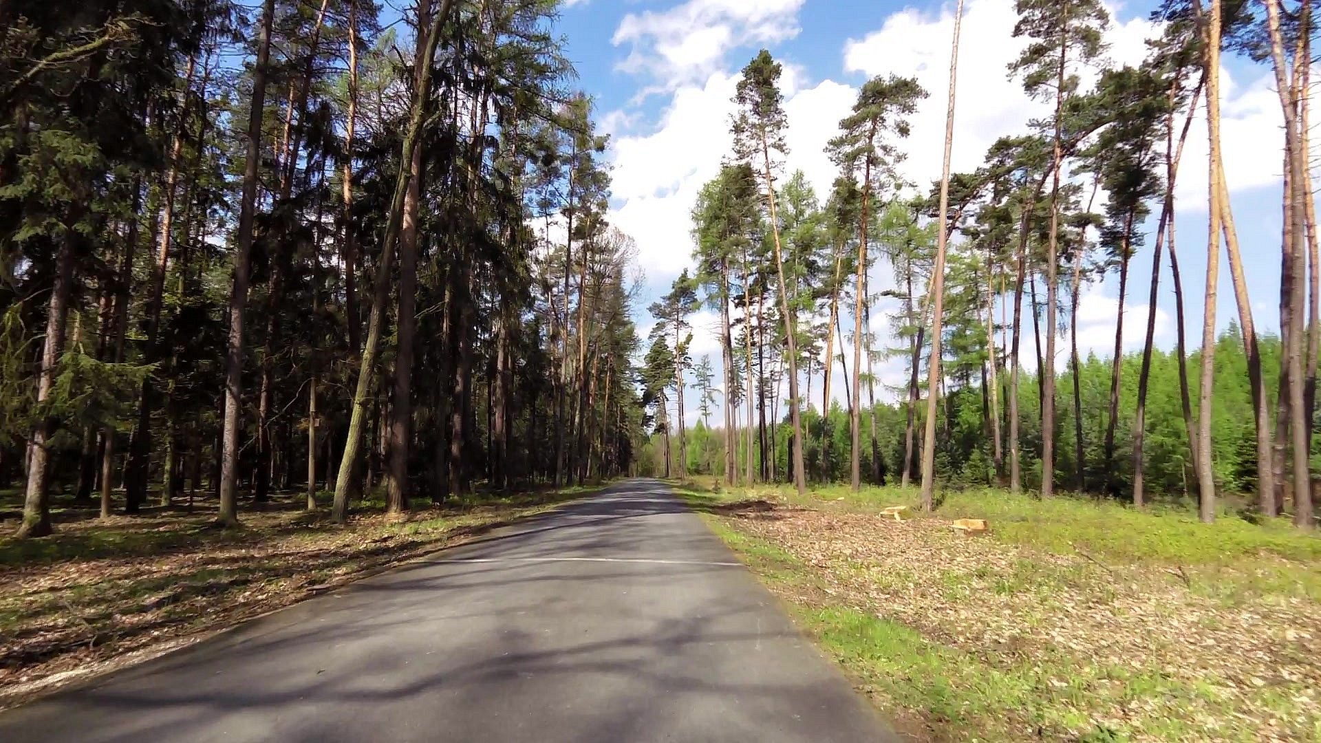
Cycling
difficulty:
Easy
length:
28.99km
total elevation:
382.50m
total descent:
382.00m
navigation:

| 0.00km from start |
28.99km to finish |
m elevation |
0m total elevation |
0m total descent |
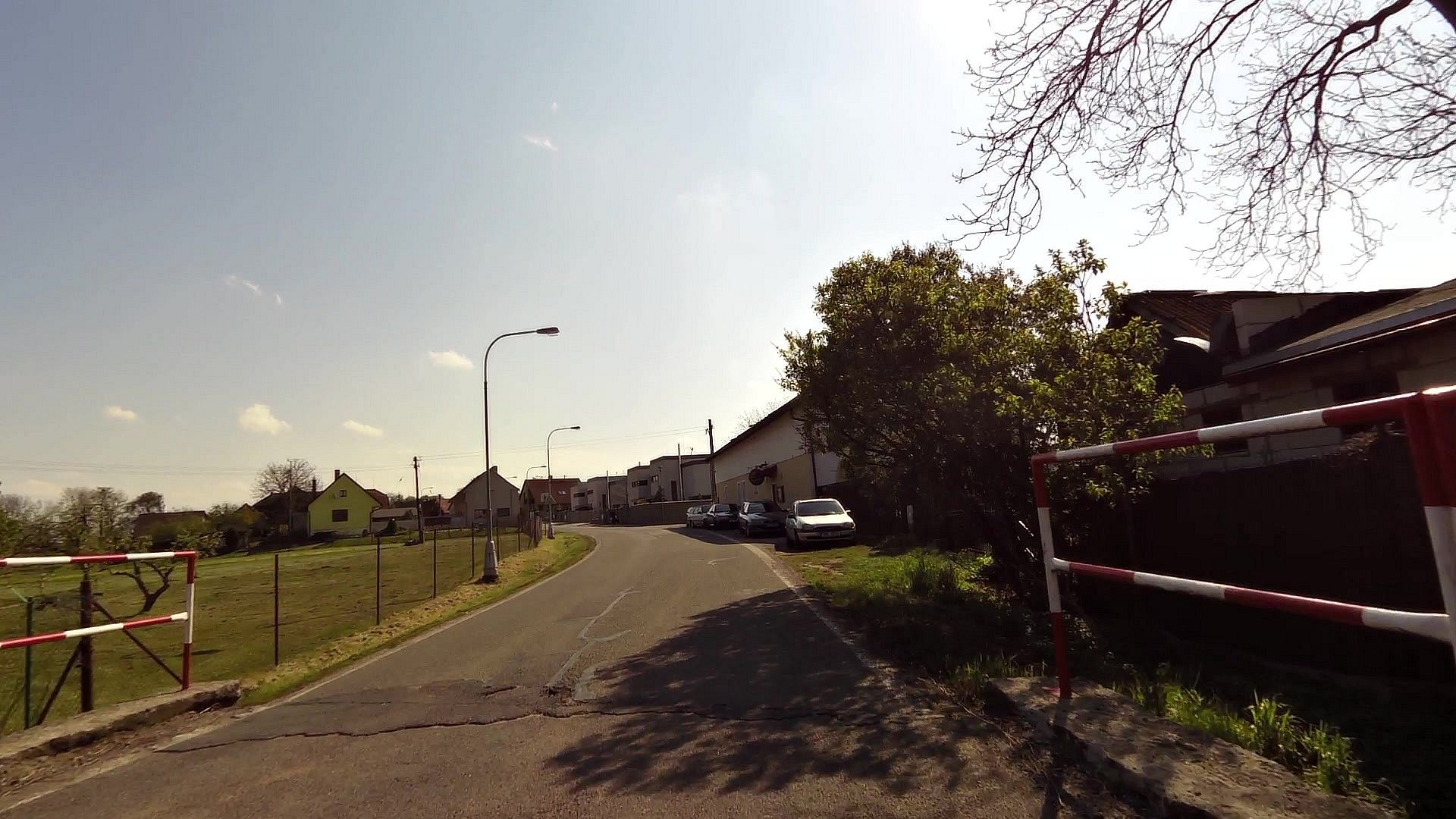
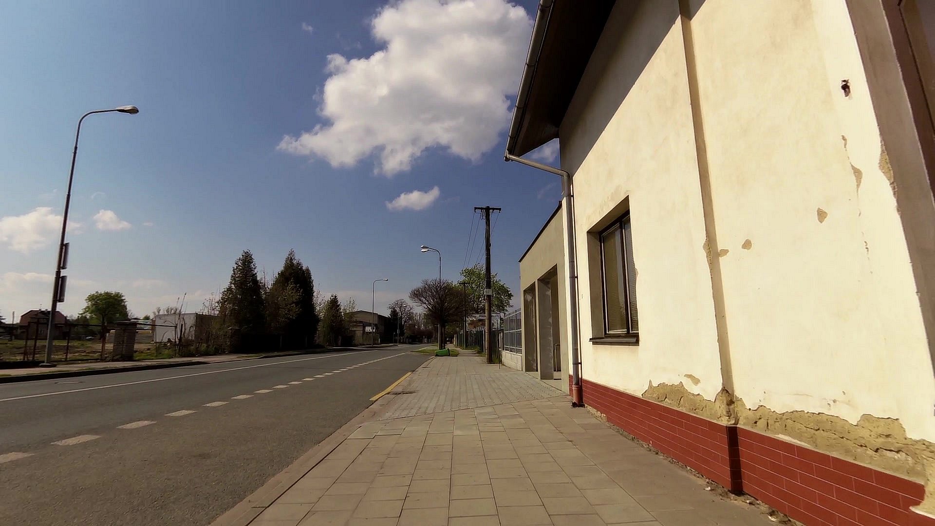
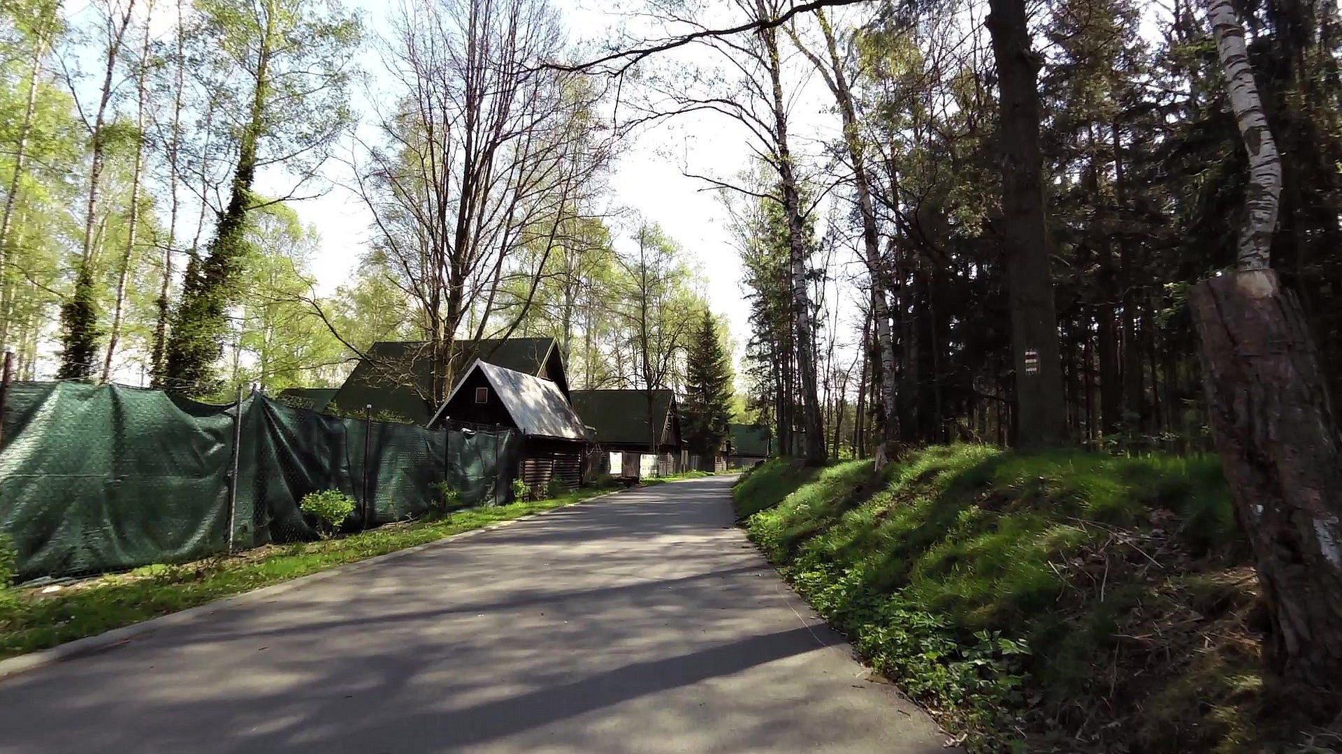
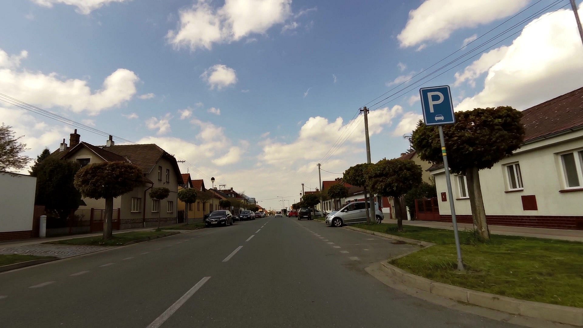
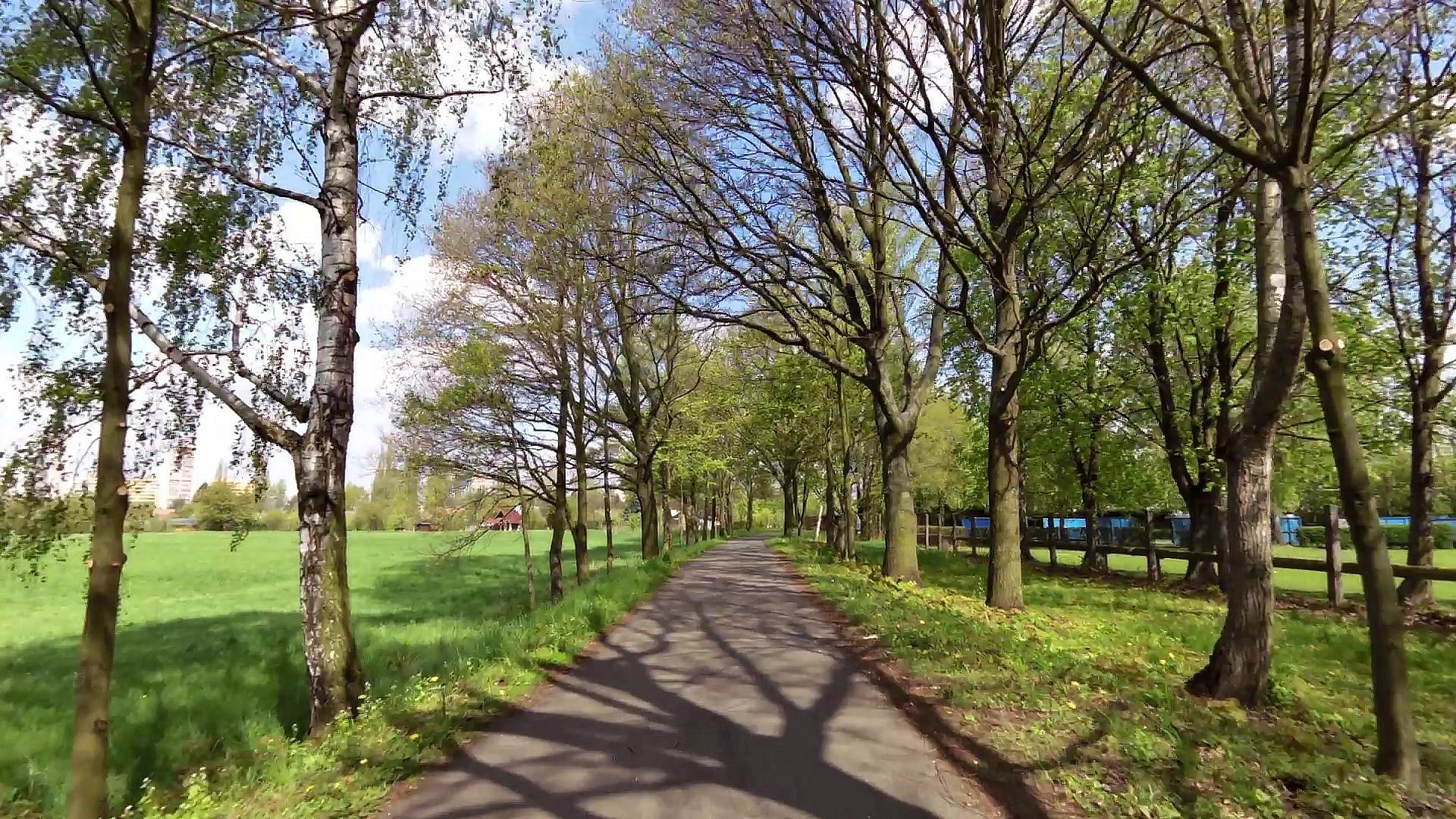
| map | video | ||
| map | video | ||
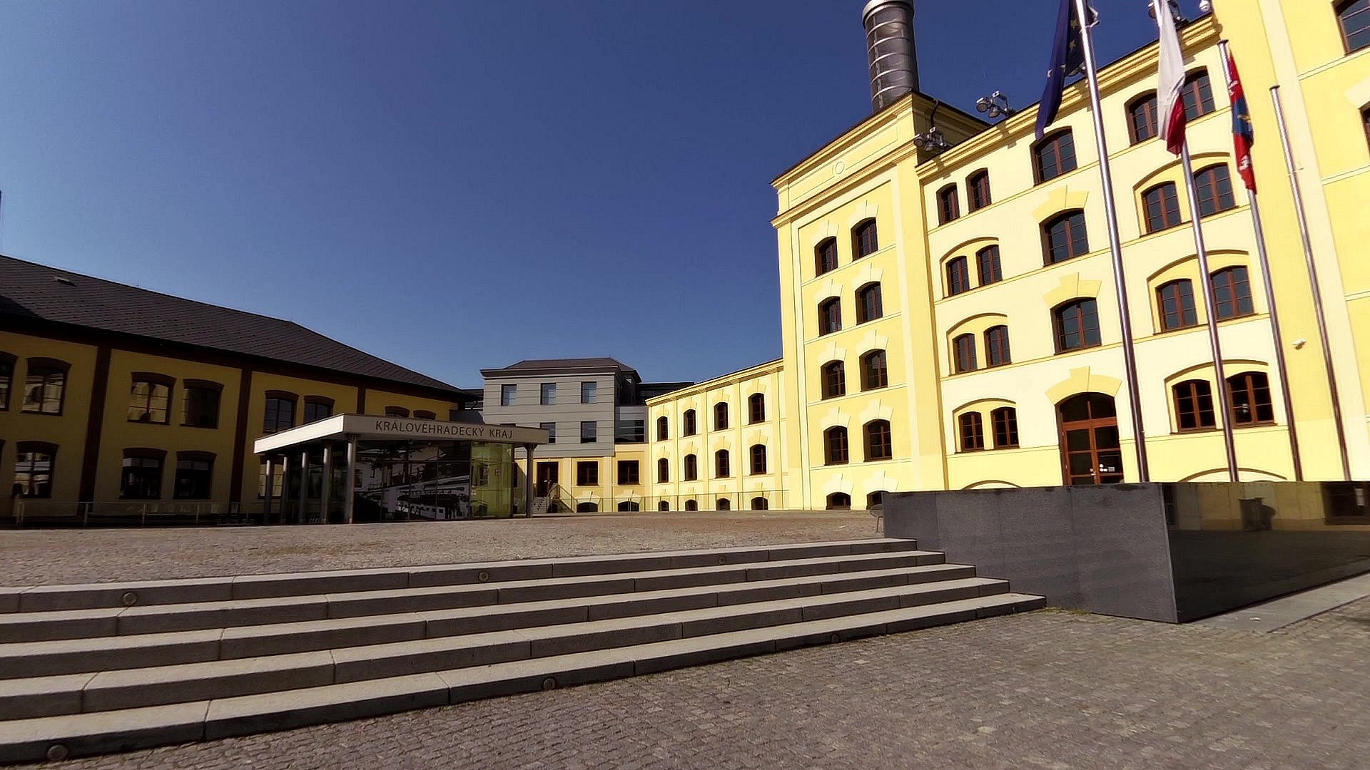
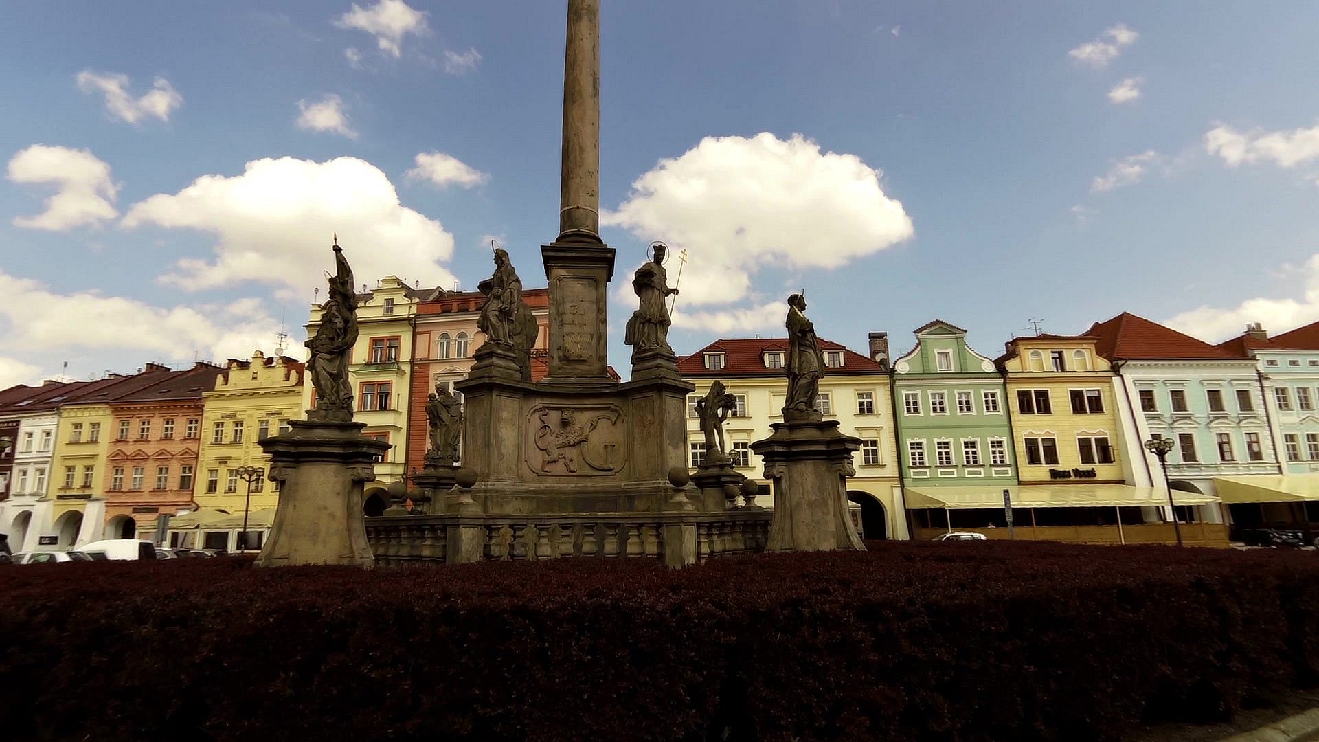
| RENEWABLE RESOURCES INFORMATION CENTRE | map | video | |
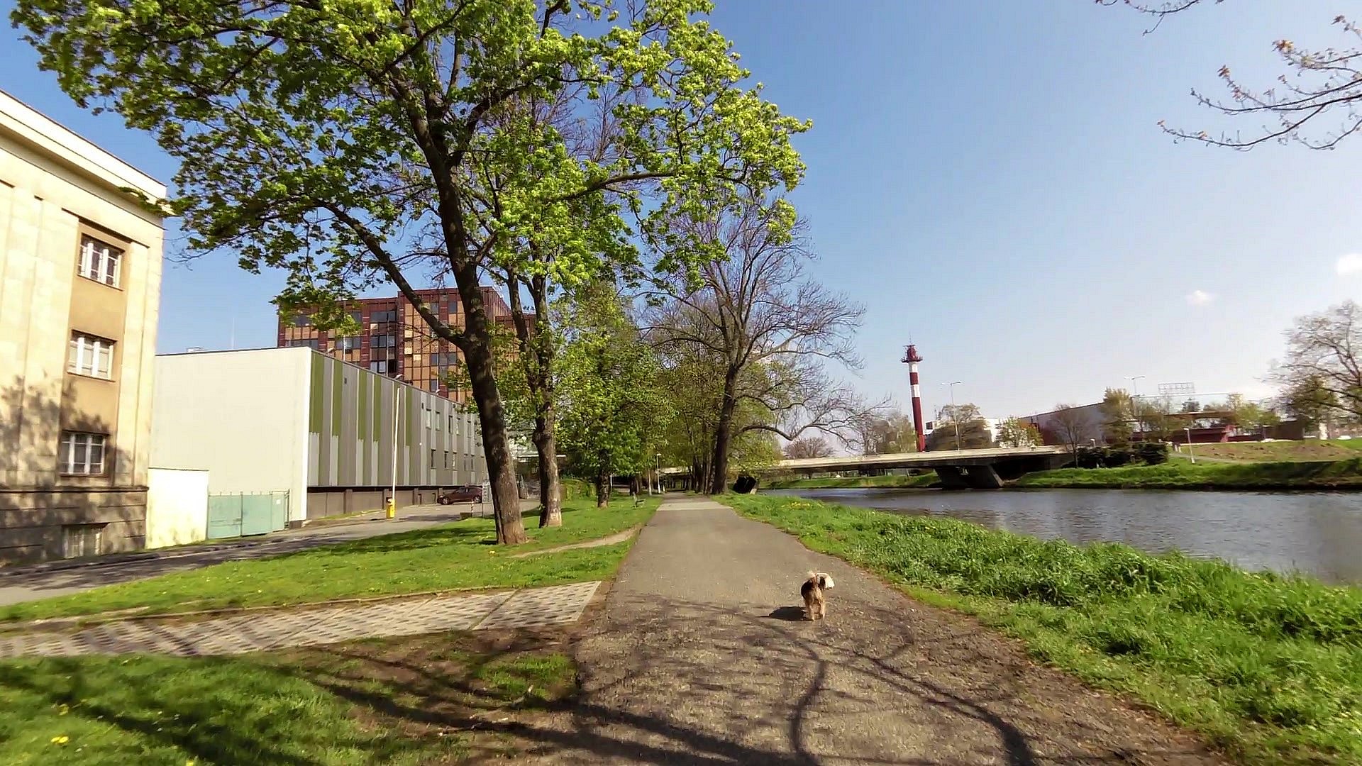
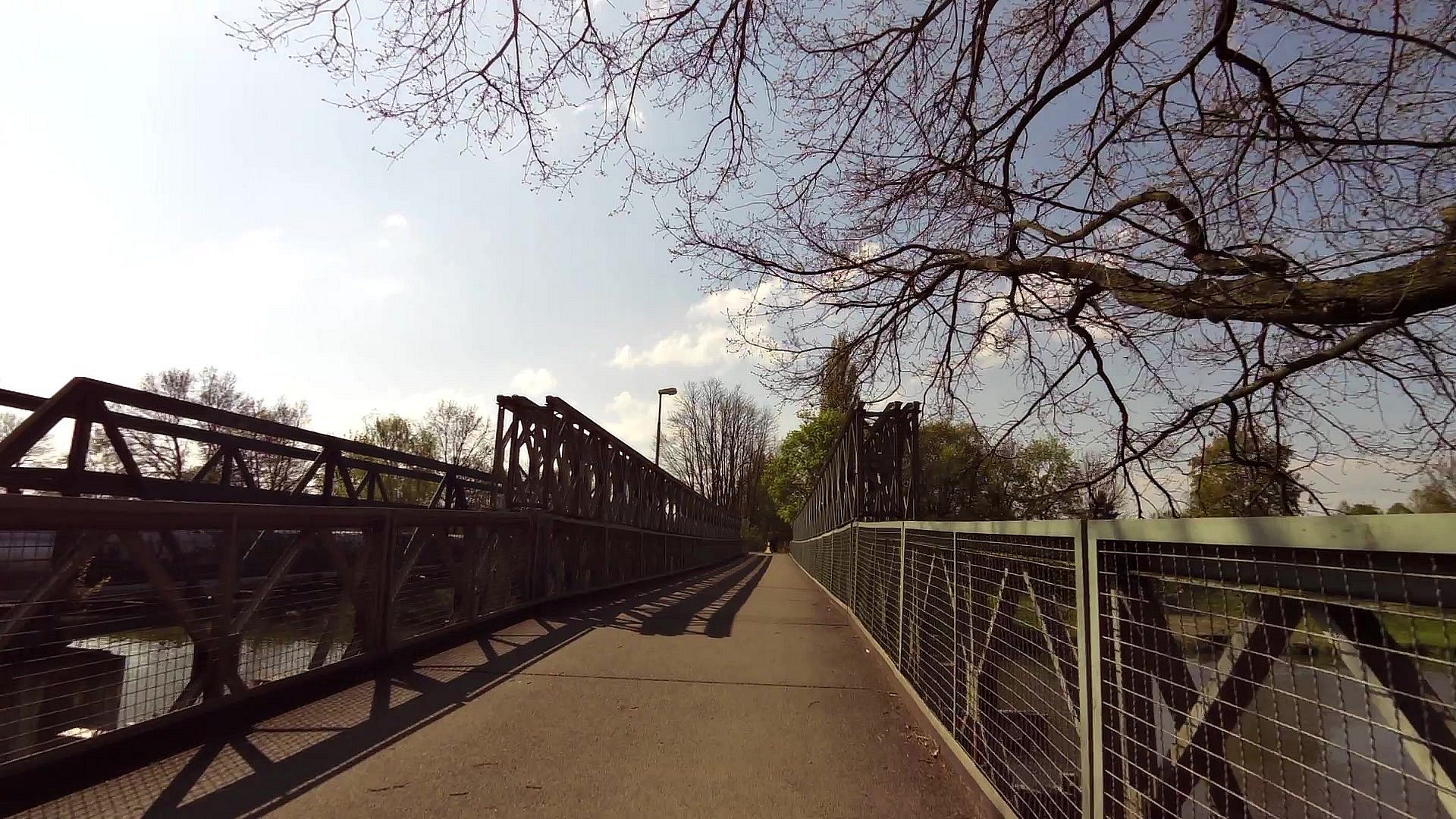
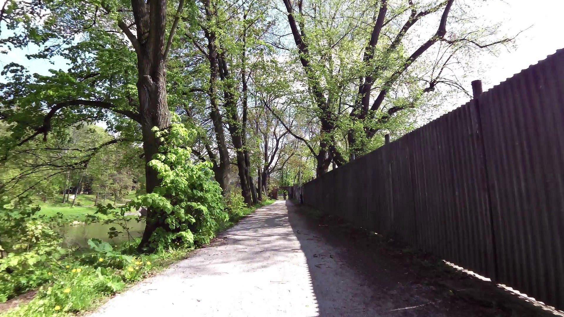
| Labe embankment | map | video | |
| Wheeled steamers of Hradec | map | video | |
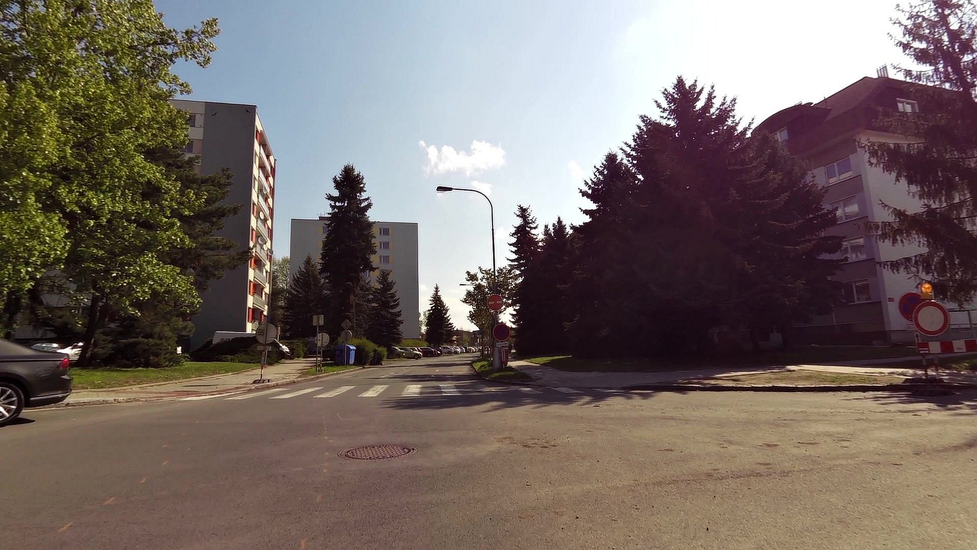
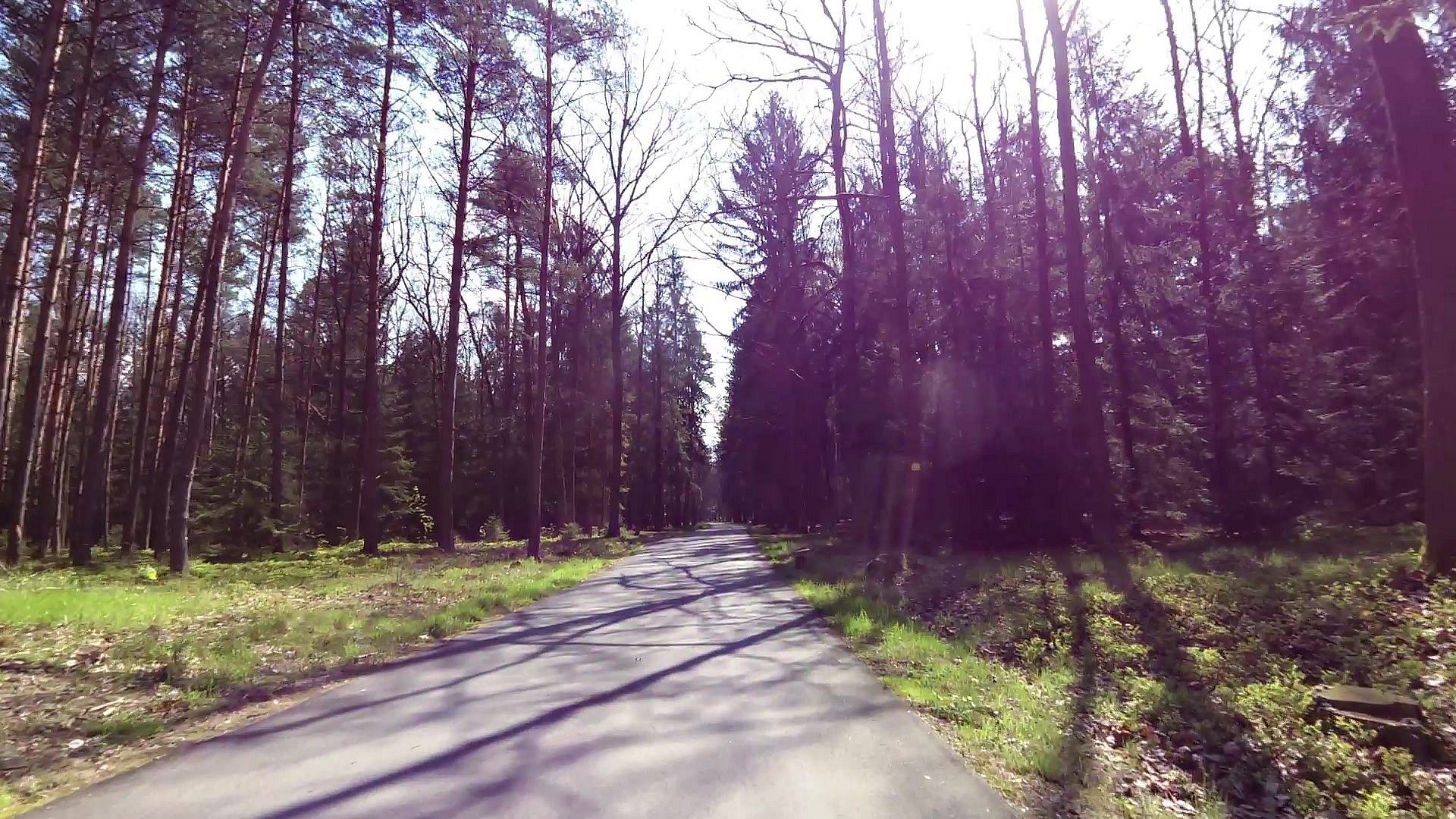
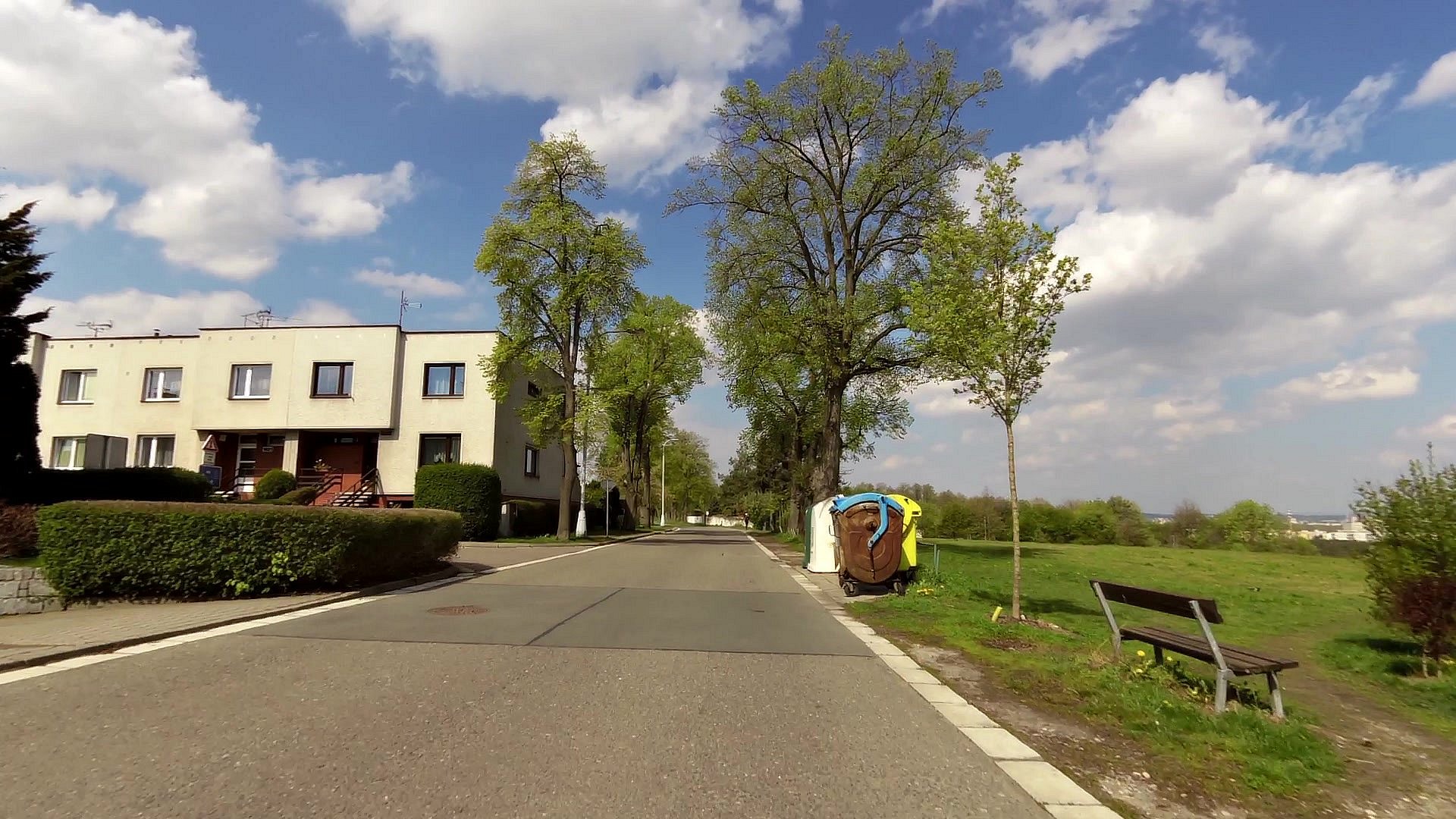
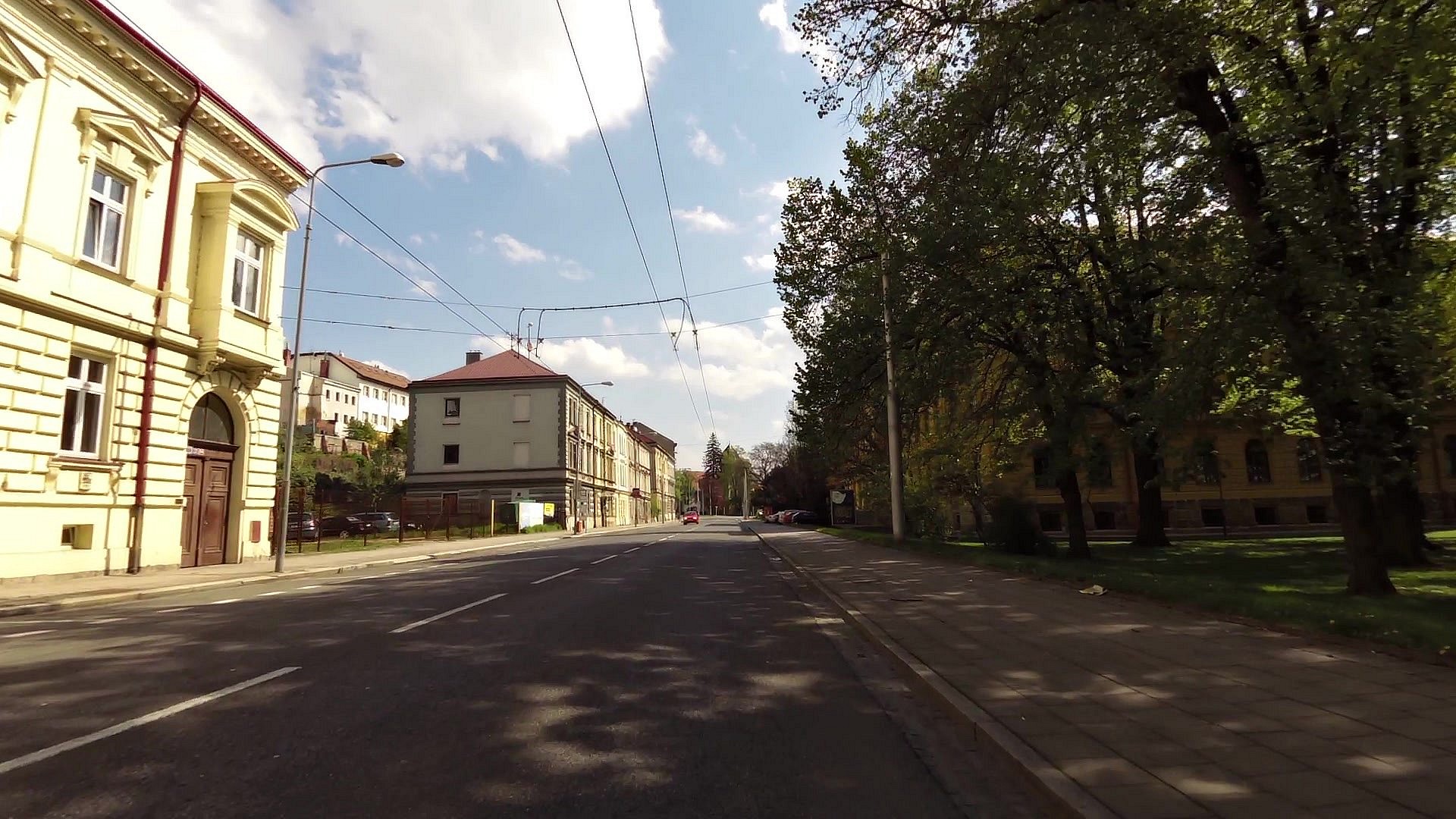
| map | video | ||
| Stone bridge across Labe river | map | video | |
| map | video | ||
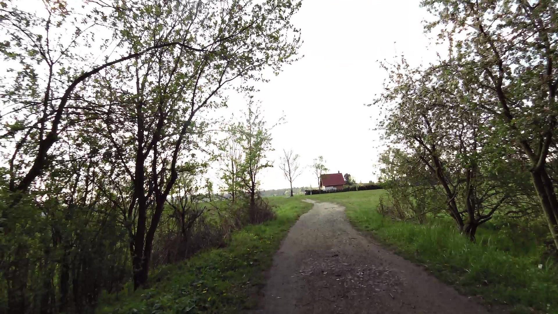
| Camp Stříbrný pond | map | video | |
| Pond Výskyt | map | video | |
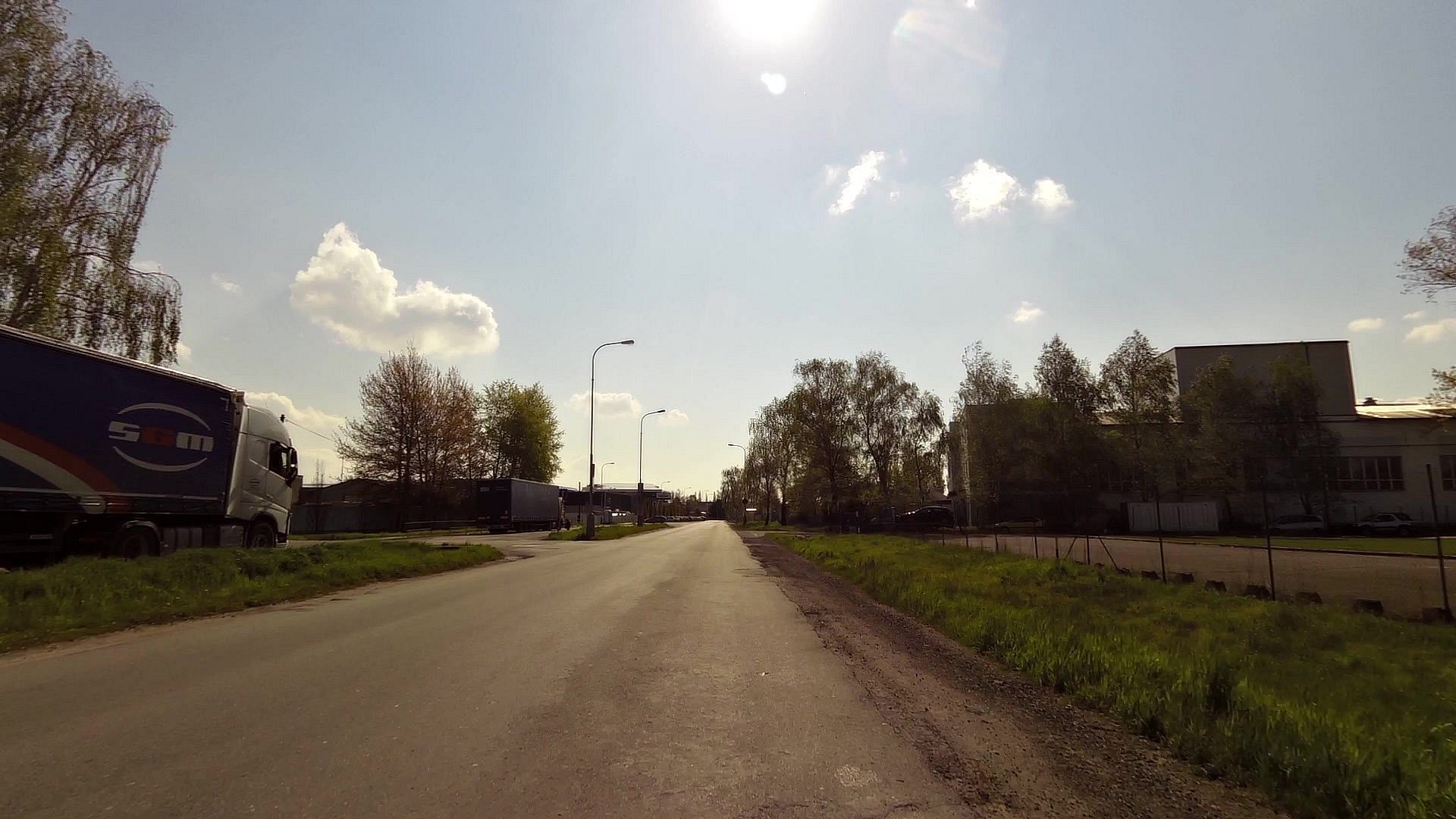
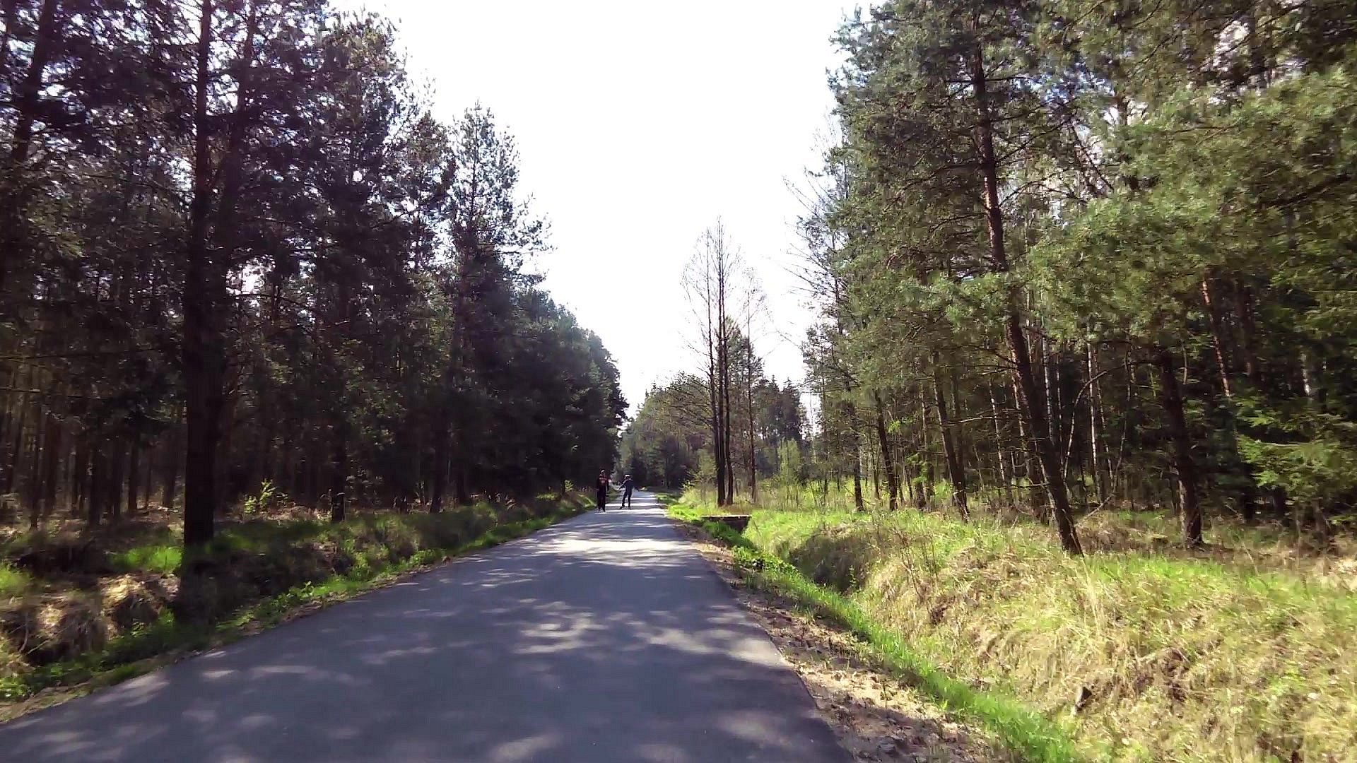
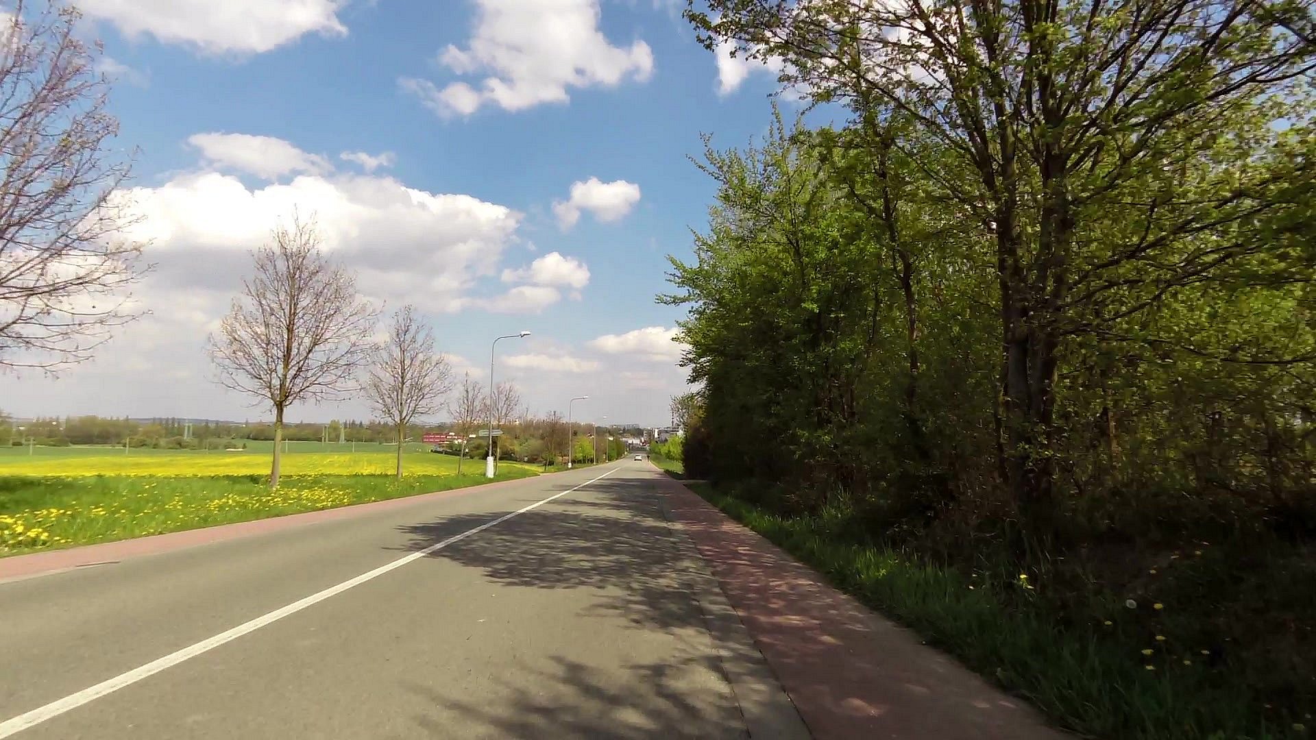
| map | video | ||
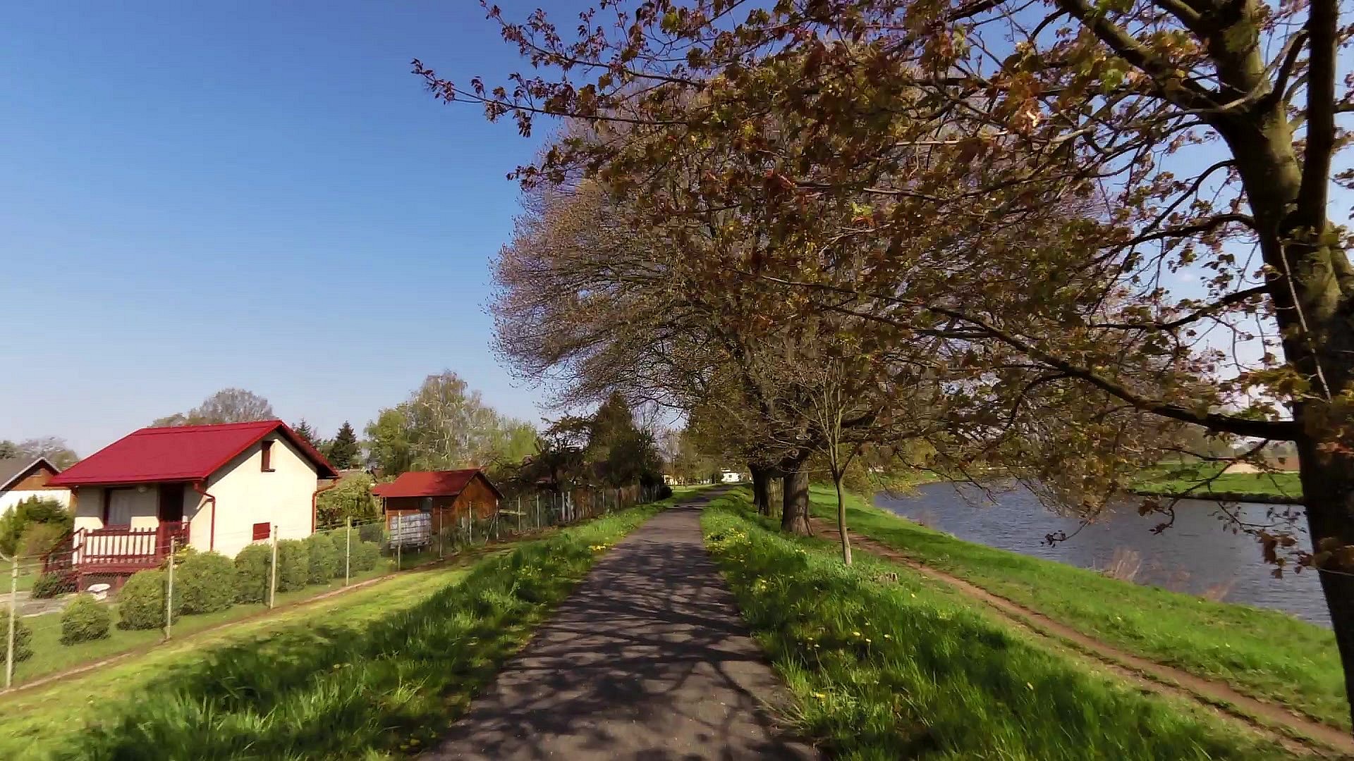
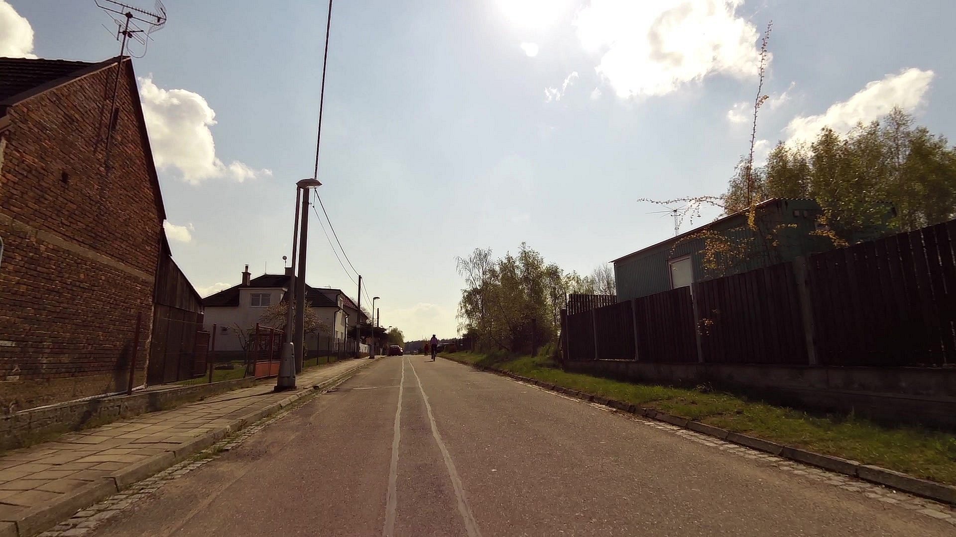
| The Elbe Trail | map | video | |
| map | video | ||
| The confluence of Labe and Orlice | map | video | |
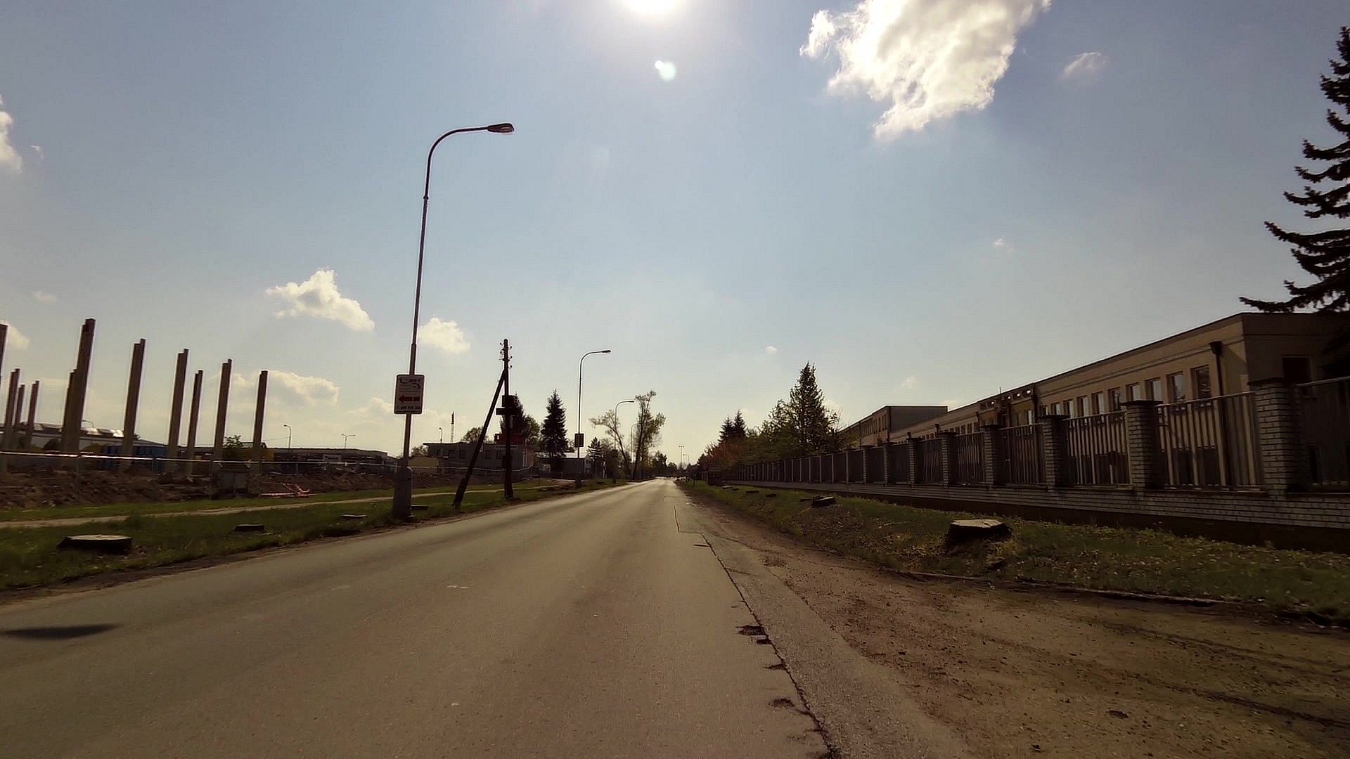
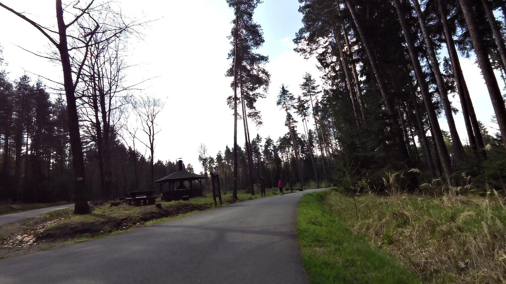
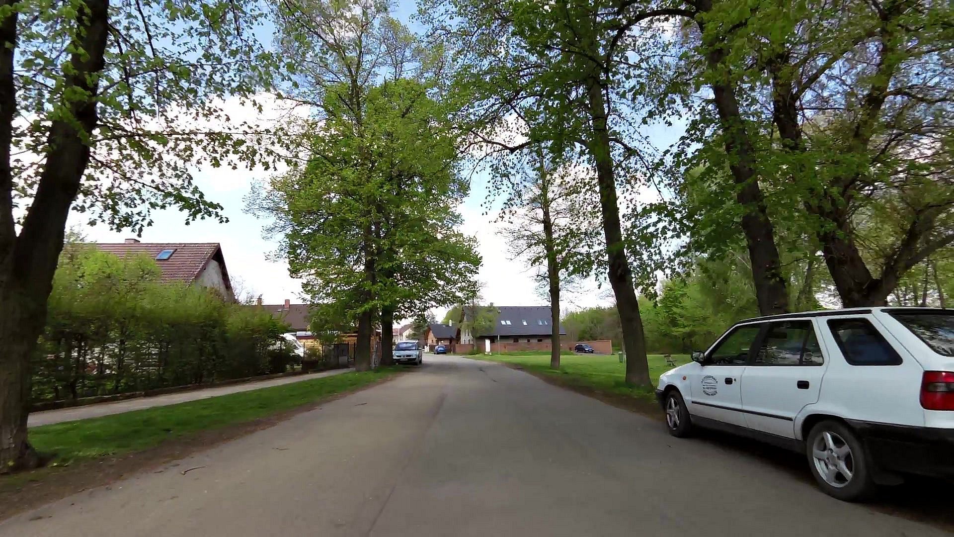
| map | video | ||
| map | video | ||
| map | video | ||
| map | video |


![]() Back to the list of videoroutes
Back to the list of videoroutes


")
