like:
type:
Cycling
difficulty:
Easy
length:
18.18km
total elevation:
60.10m
total descent:
18.30m
navigation:

| 0.00km from start |
18.18km to finish |
m elevation |
0m total elevation |
0m total descent |
| The Turkish tower | map | video | |
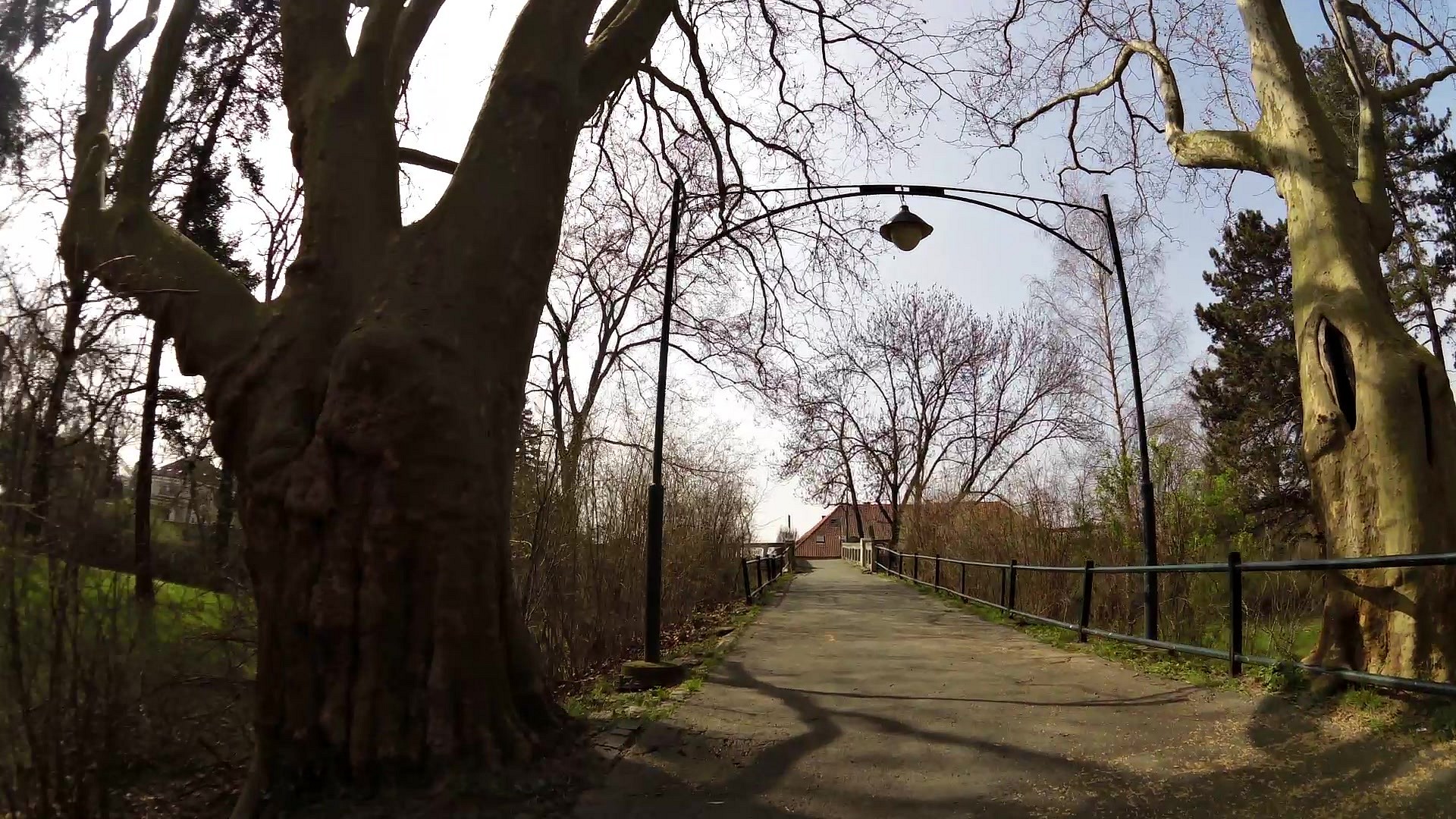
| The Old fish shop | map | video | |
| The medieval fortifications | map | video | |
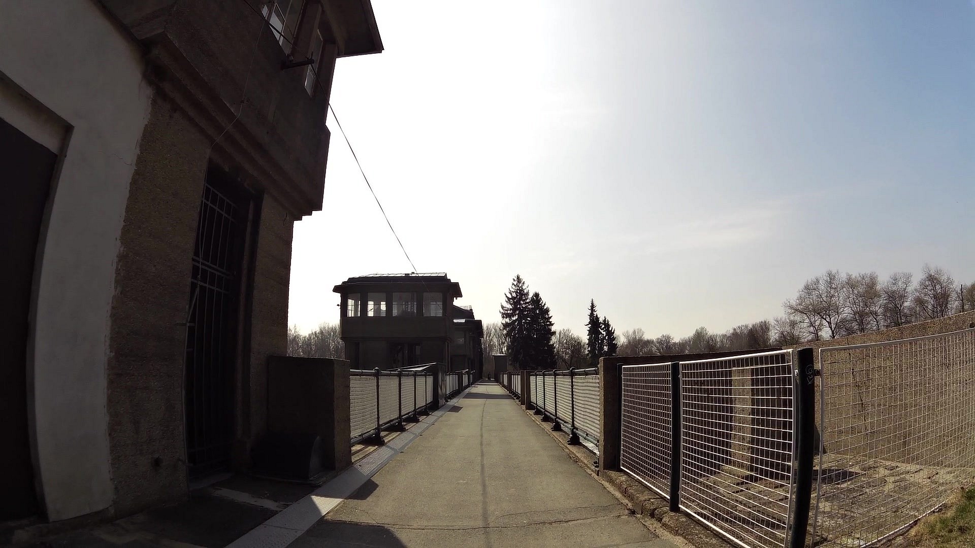
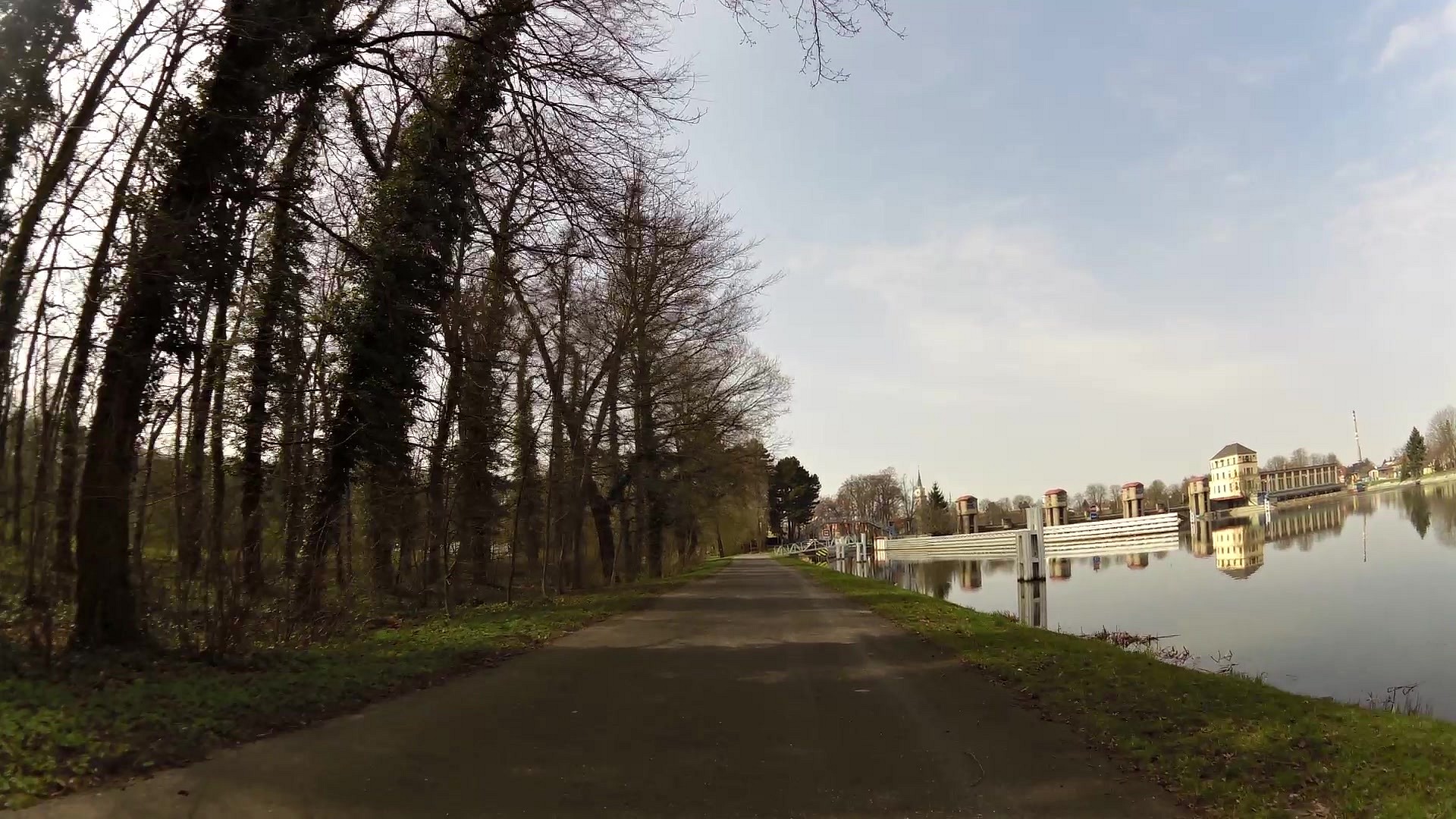
| Hydroelectric power station | map | video | |
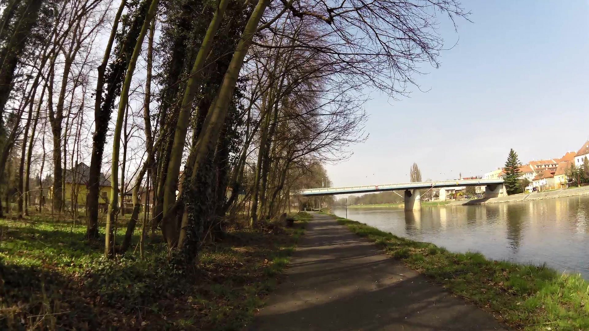
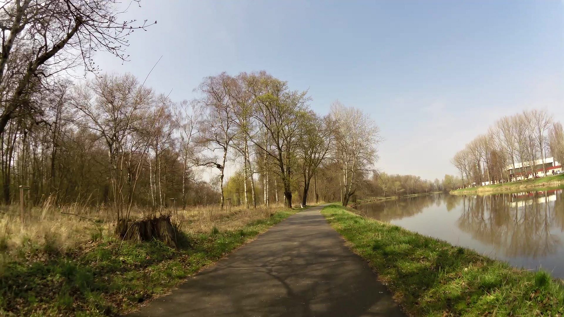
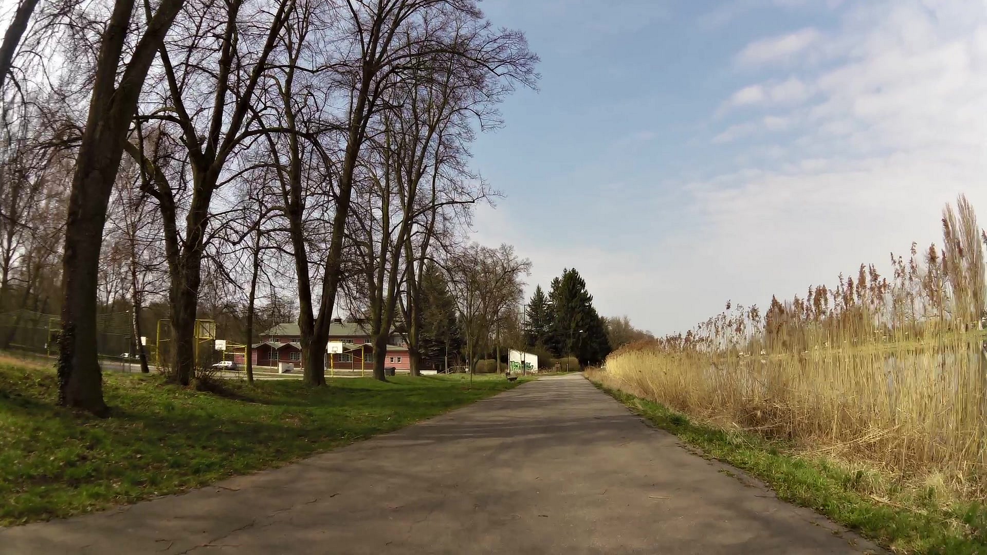
| Sány canal | map | video | |
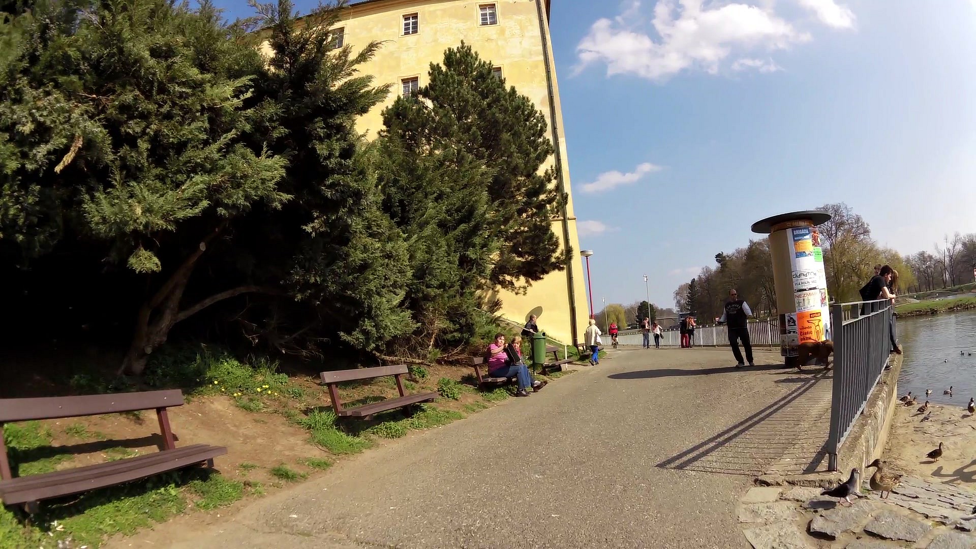
| Poděbrady | map | video | |
| Poděbrady - hydroelectric power plant | map | video | |
| Miners church | map | video | |
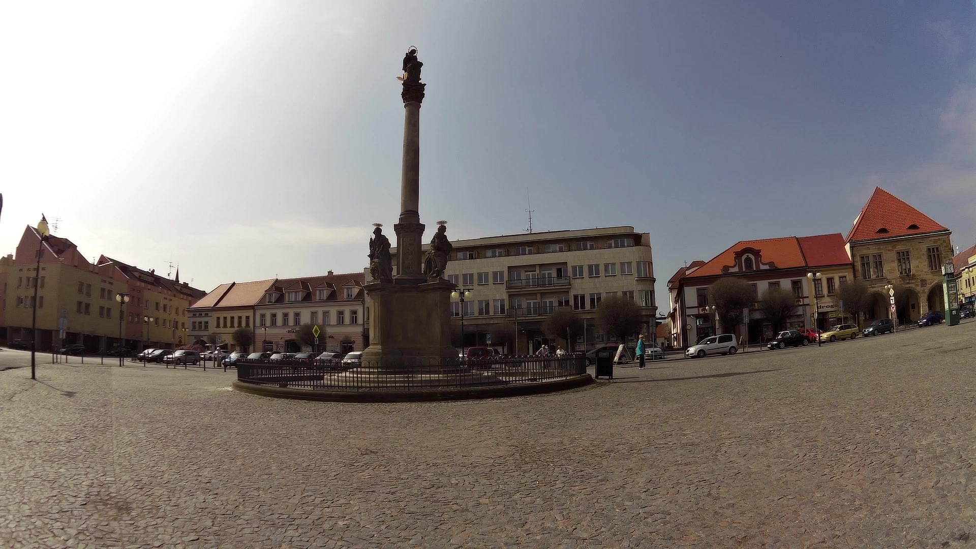
| The Plague Column | map | video | |
| Hlava's house - Tourist Information Center | map | video |


![]() Back to the list of videoroutes
Back to the list of videoroutes


