like:
type:
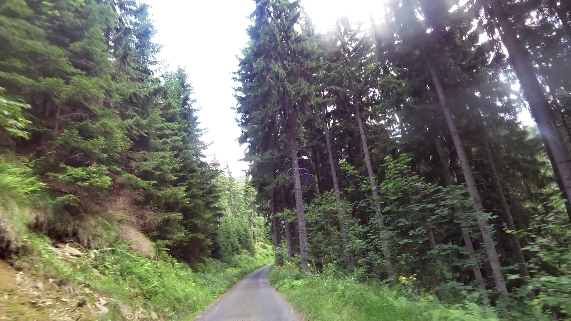
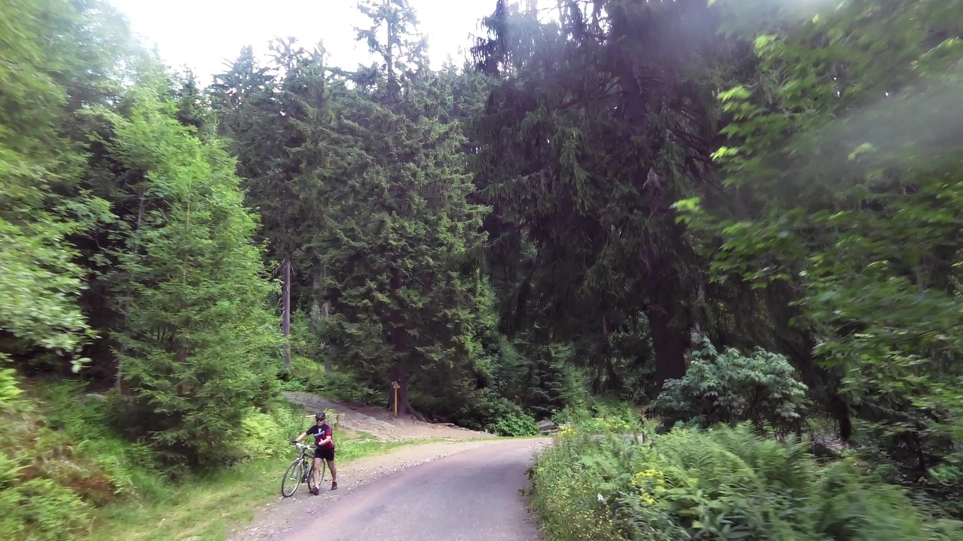
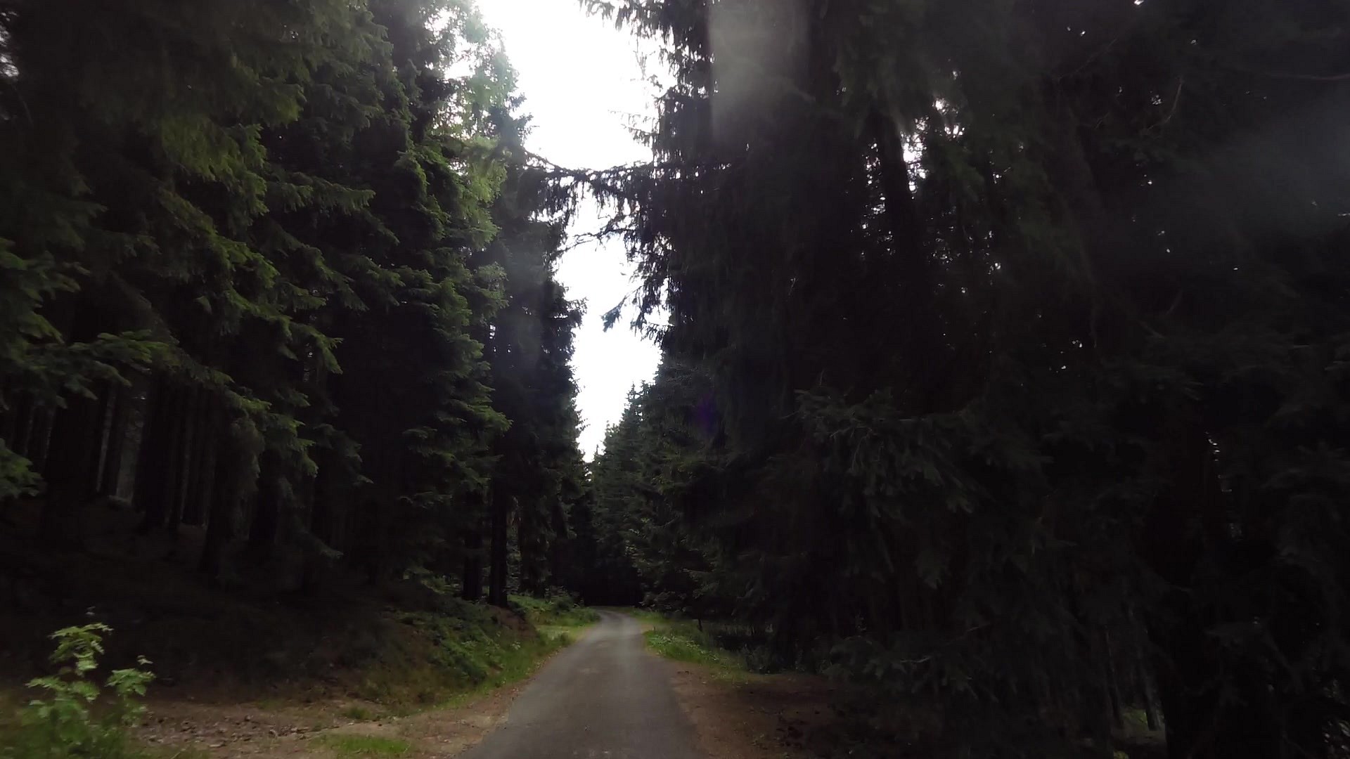
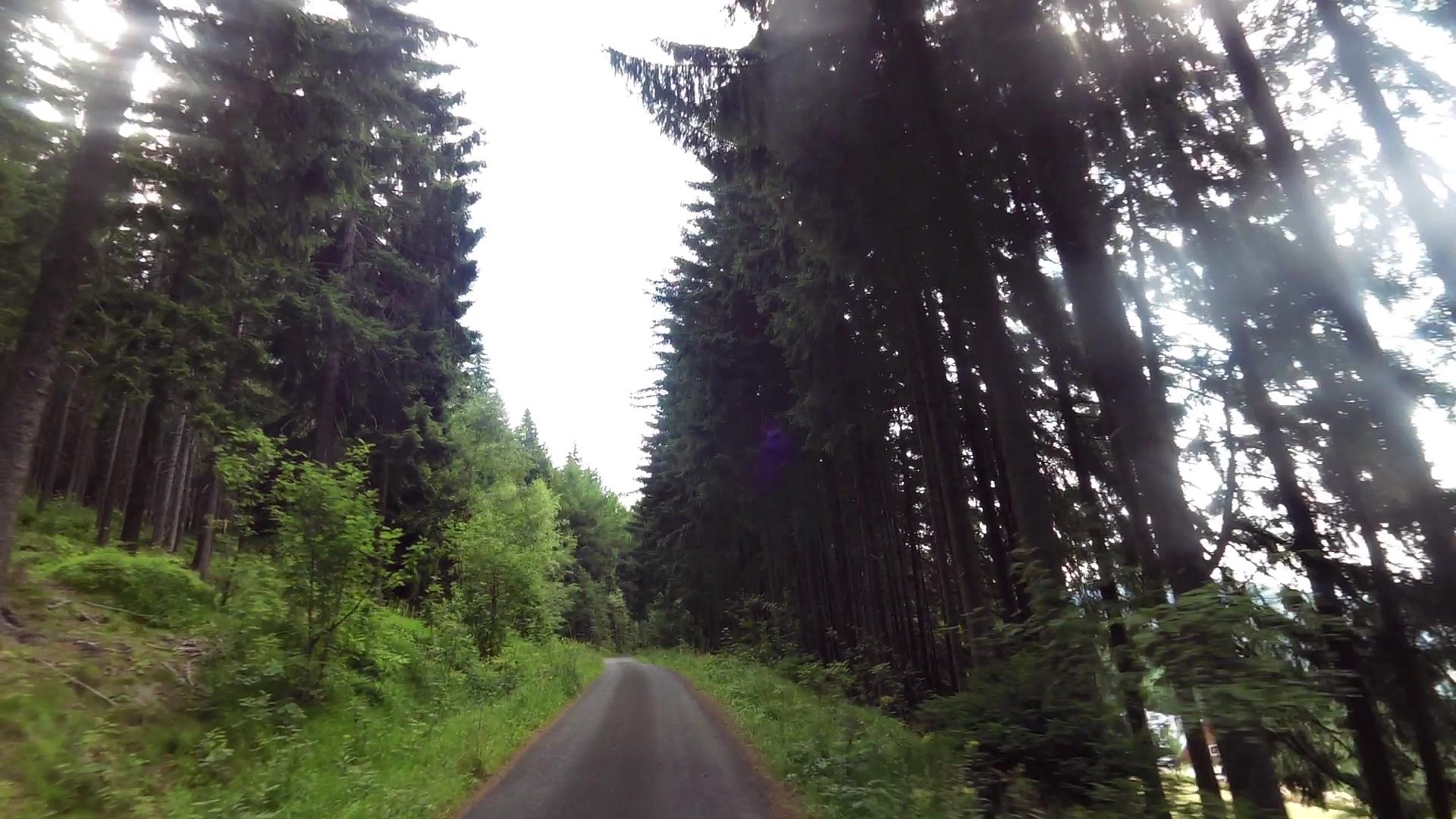
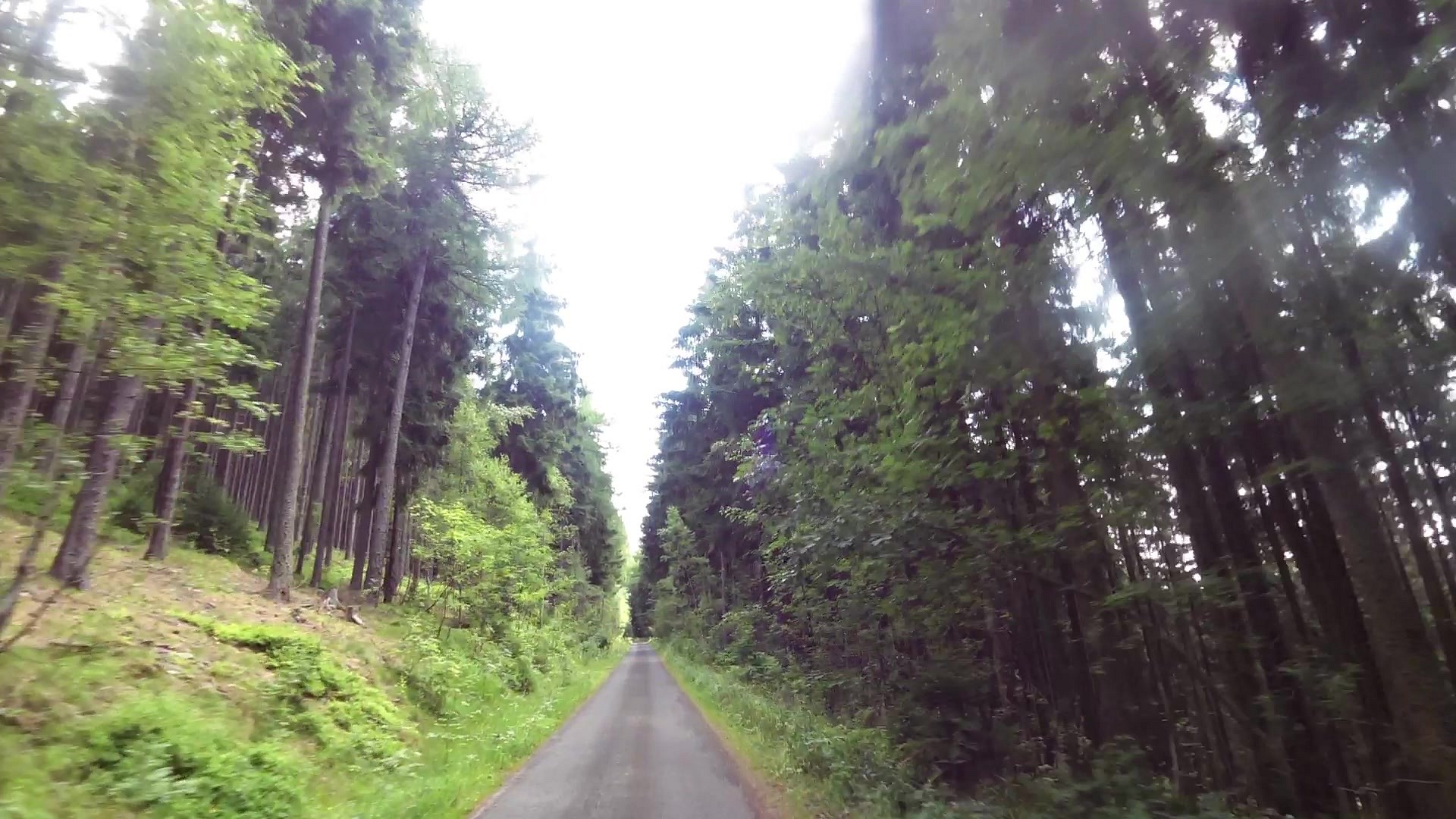
Cycling
difficulty:
Intermediate
length:
6.54km
total elevation:
237.30m
total descent:
35.50m
navigation:

| 0.00km from start |
6.54km to finish |
m elevation |
0m total elevation |
0m total descent |
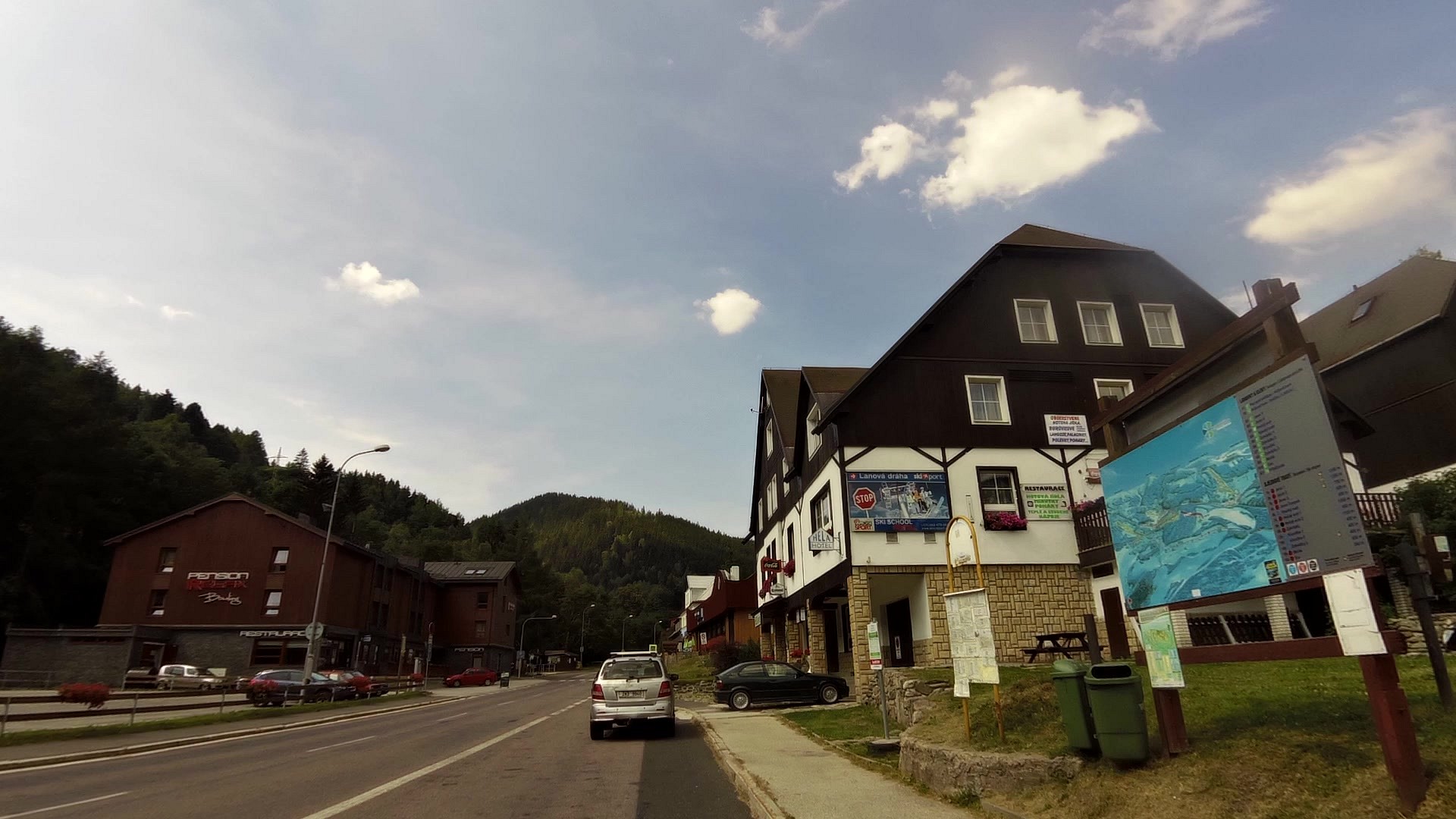
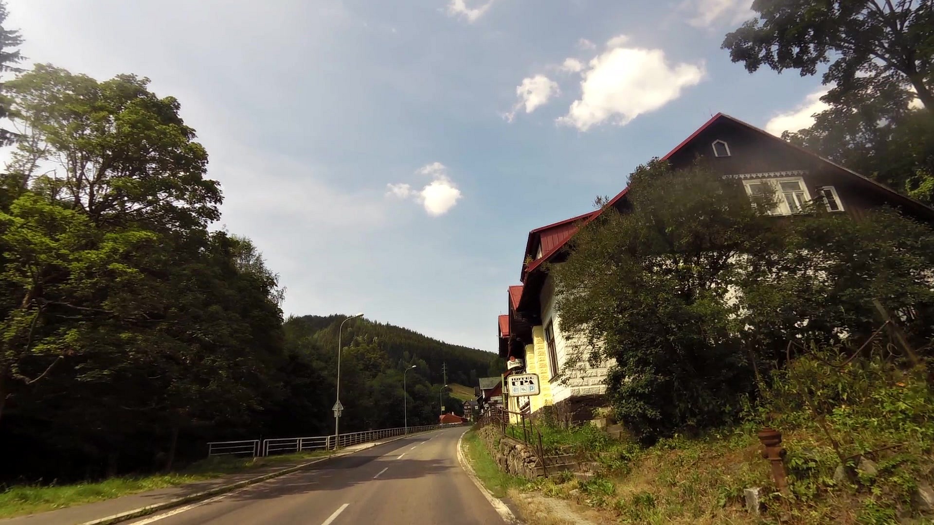
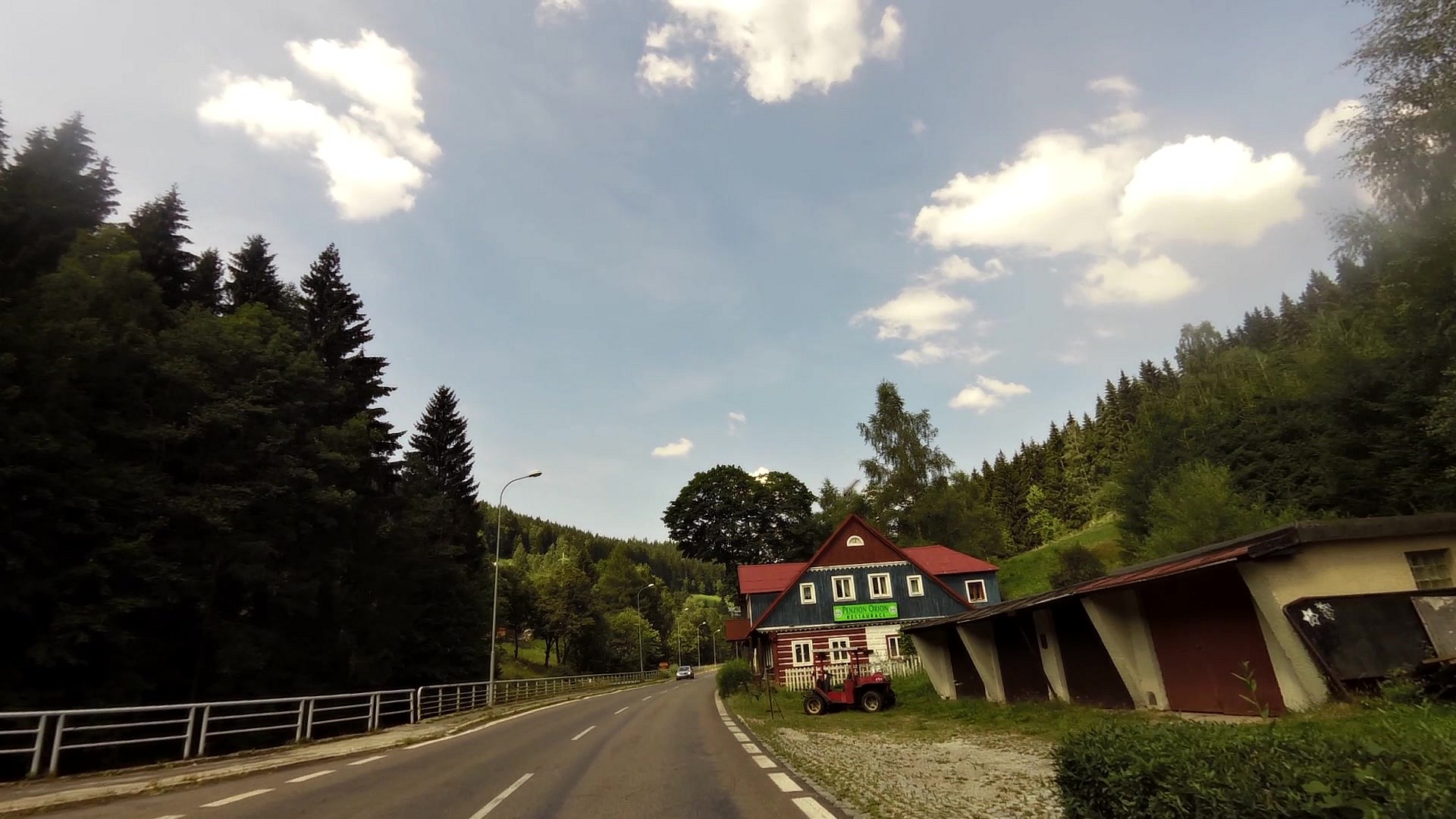
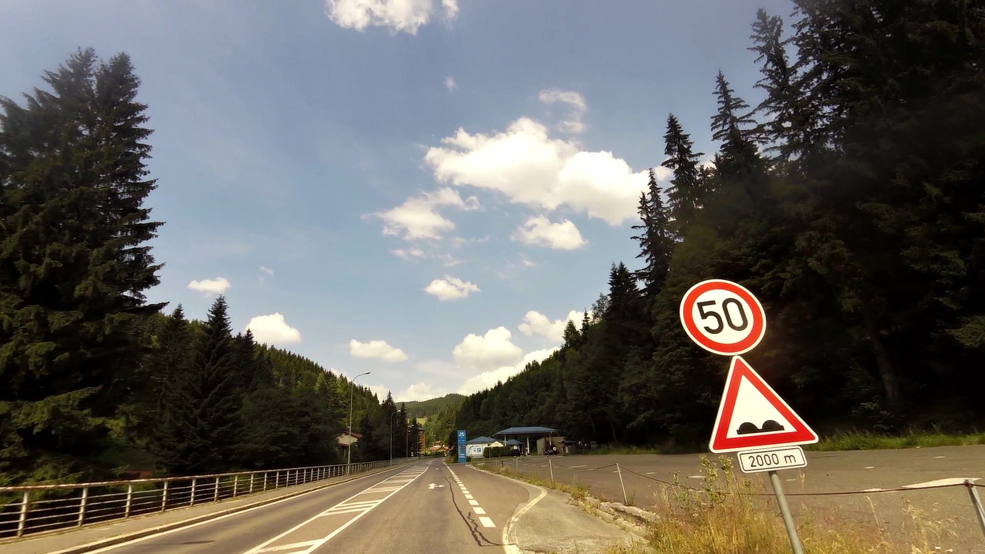
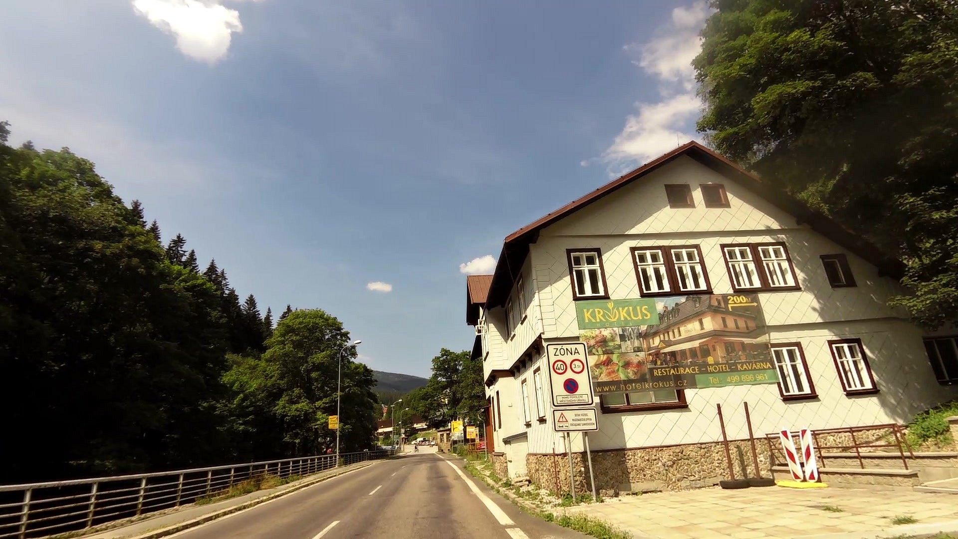
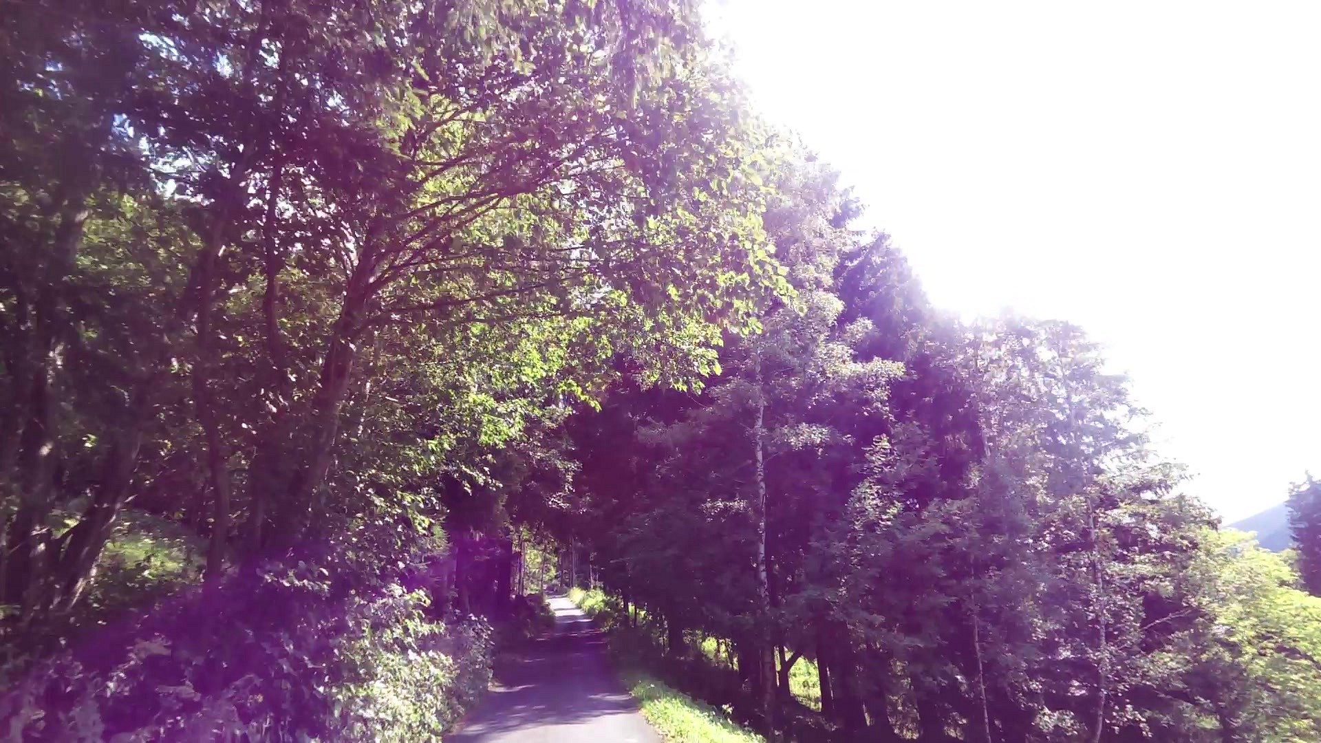
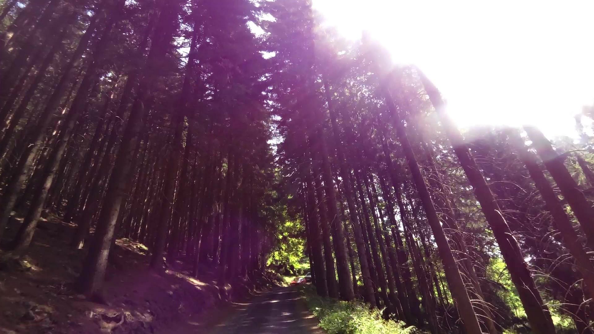
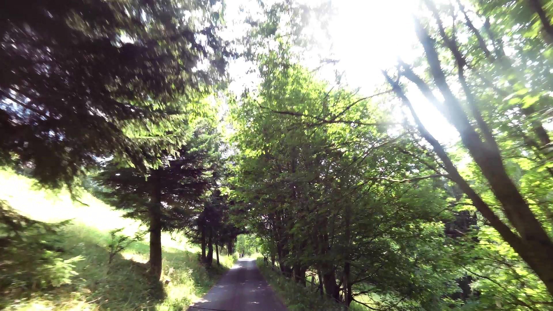
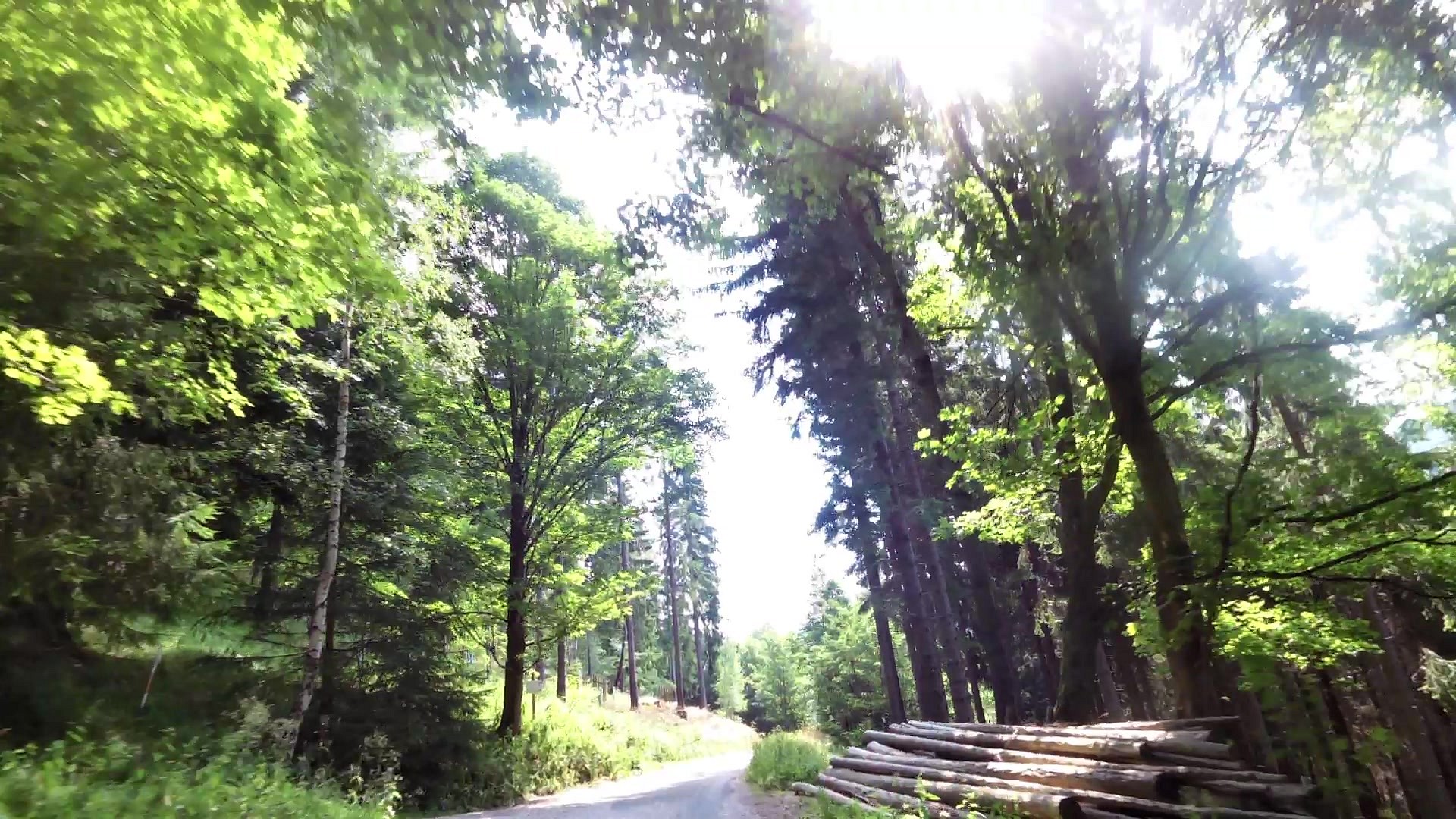
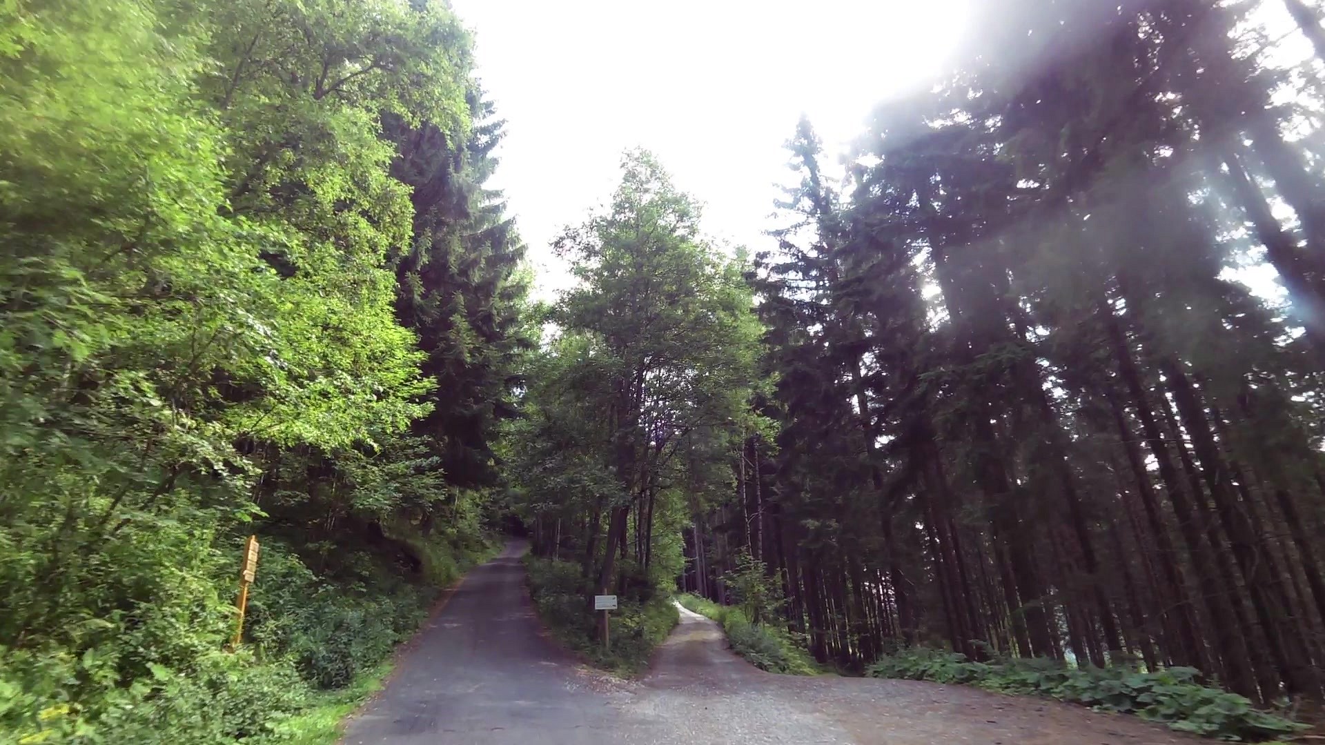
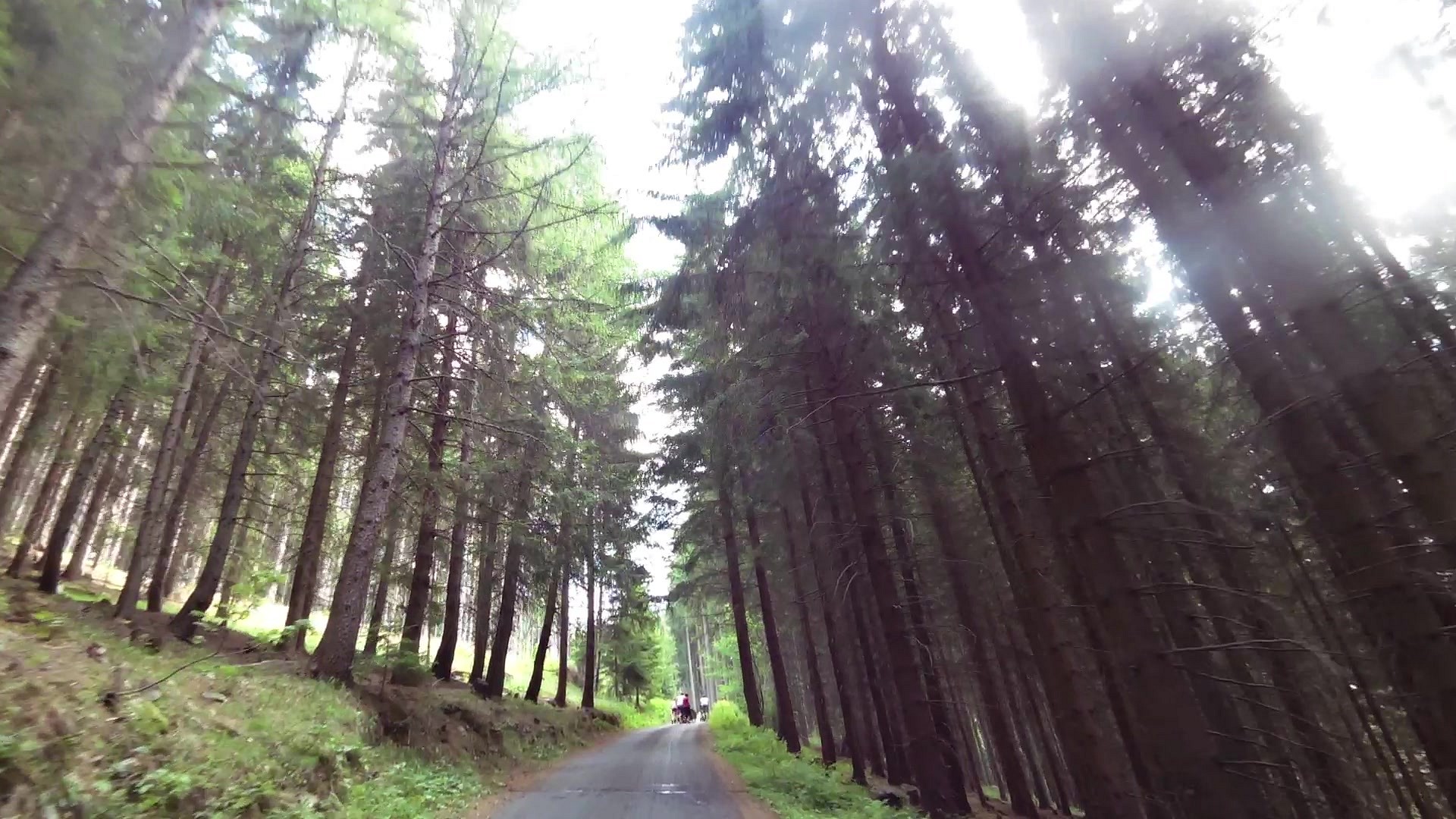
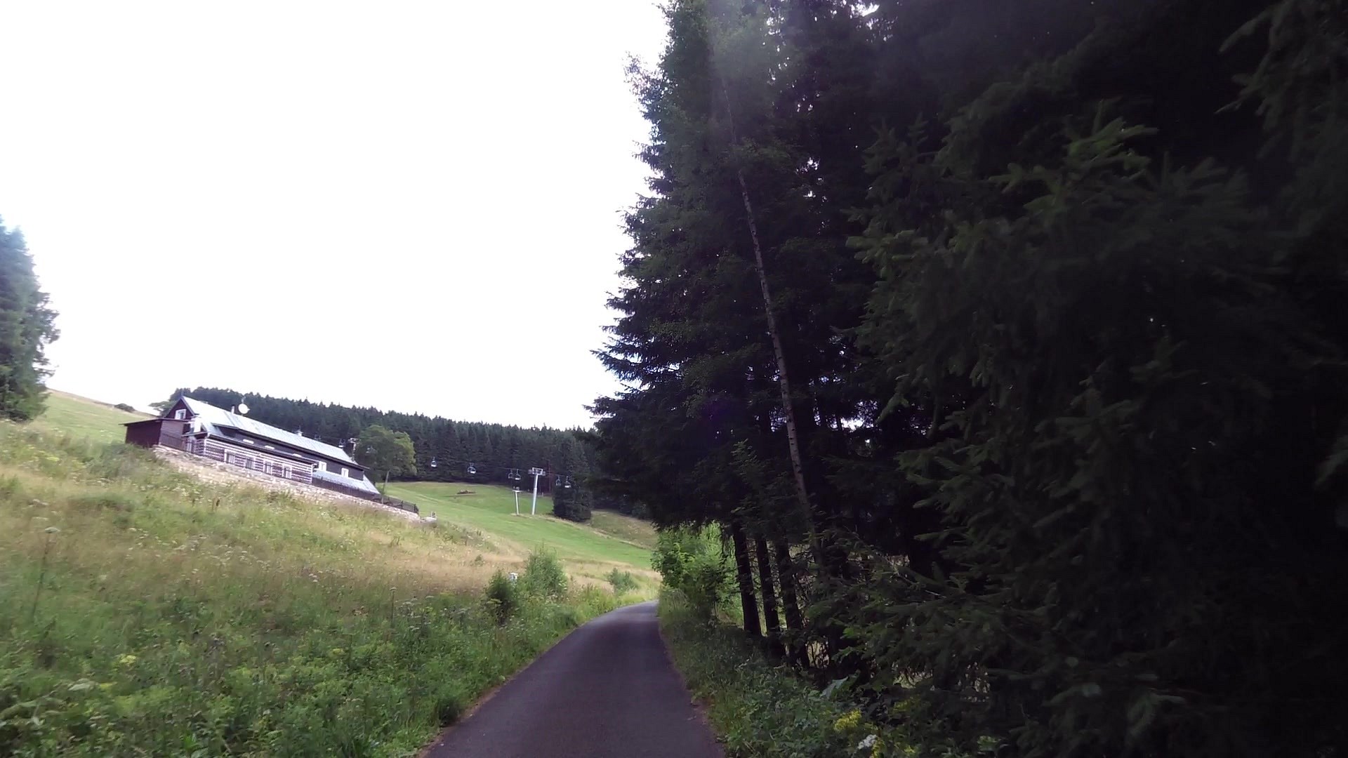
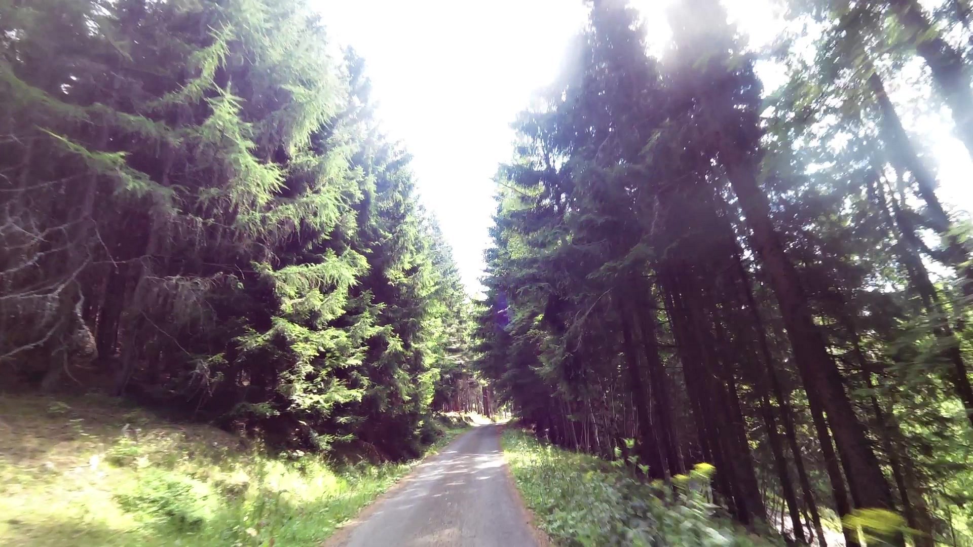
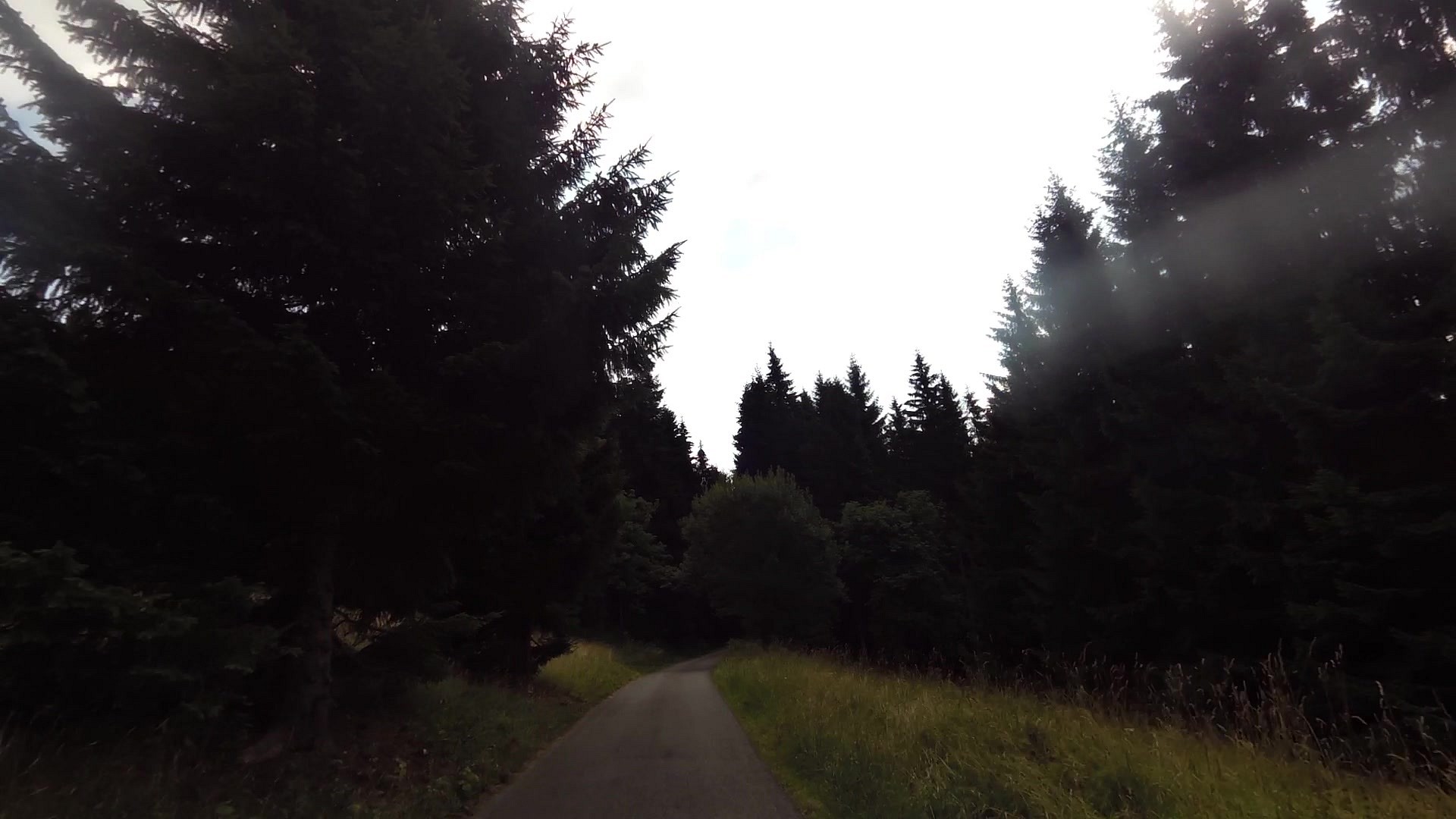
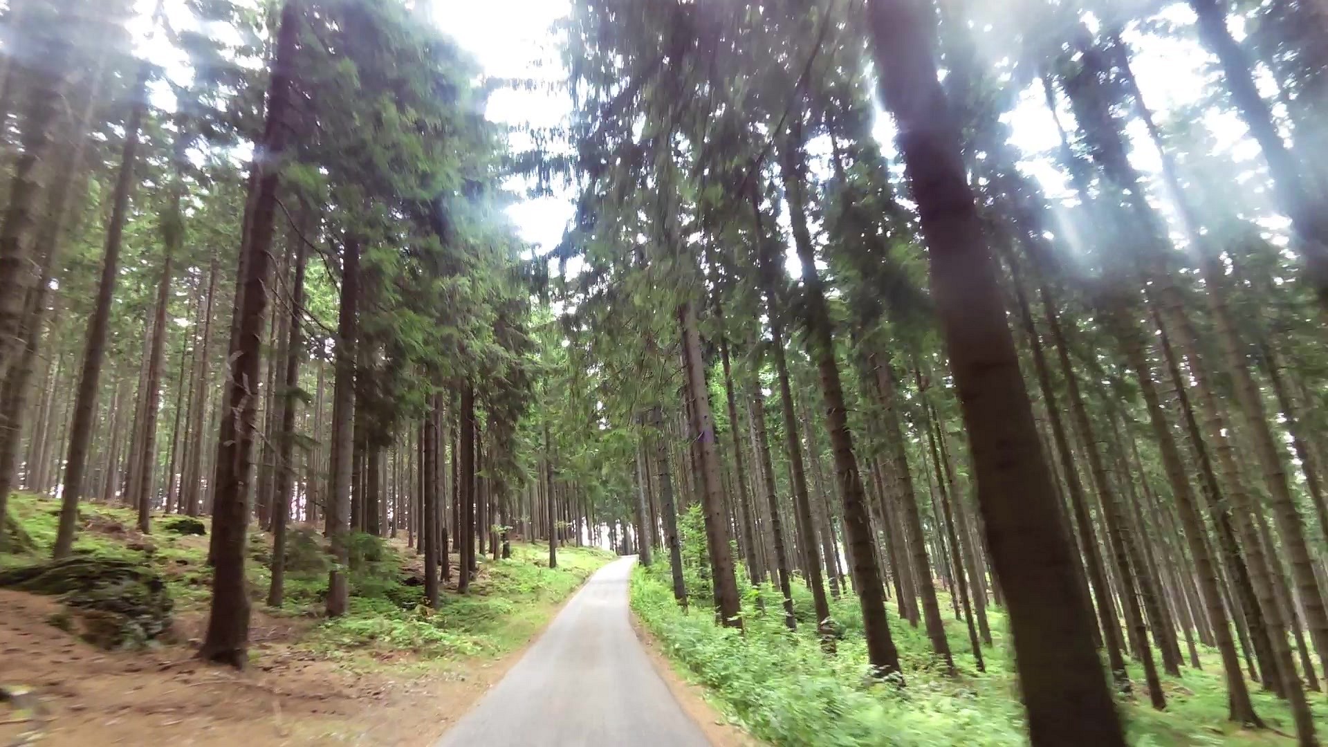
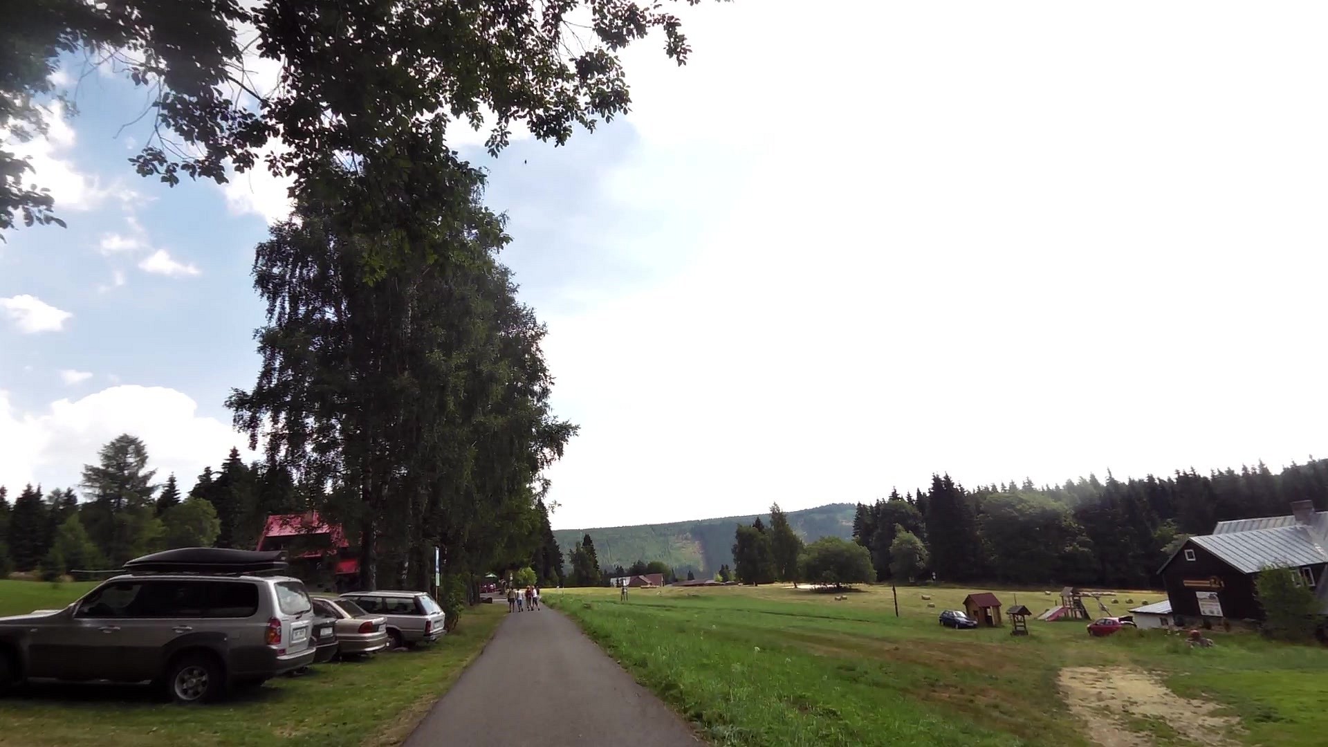
| Velká Úpa (town) | map | video | |
| Pec pod Sněžkou | map | video | |
| Janovy Boudy (cottage) | map | video |


![]() Back to the list of videoroutes
Back to the list of videoroutes


