like:
type:
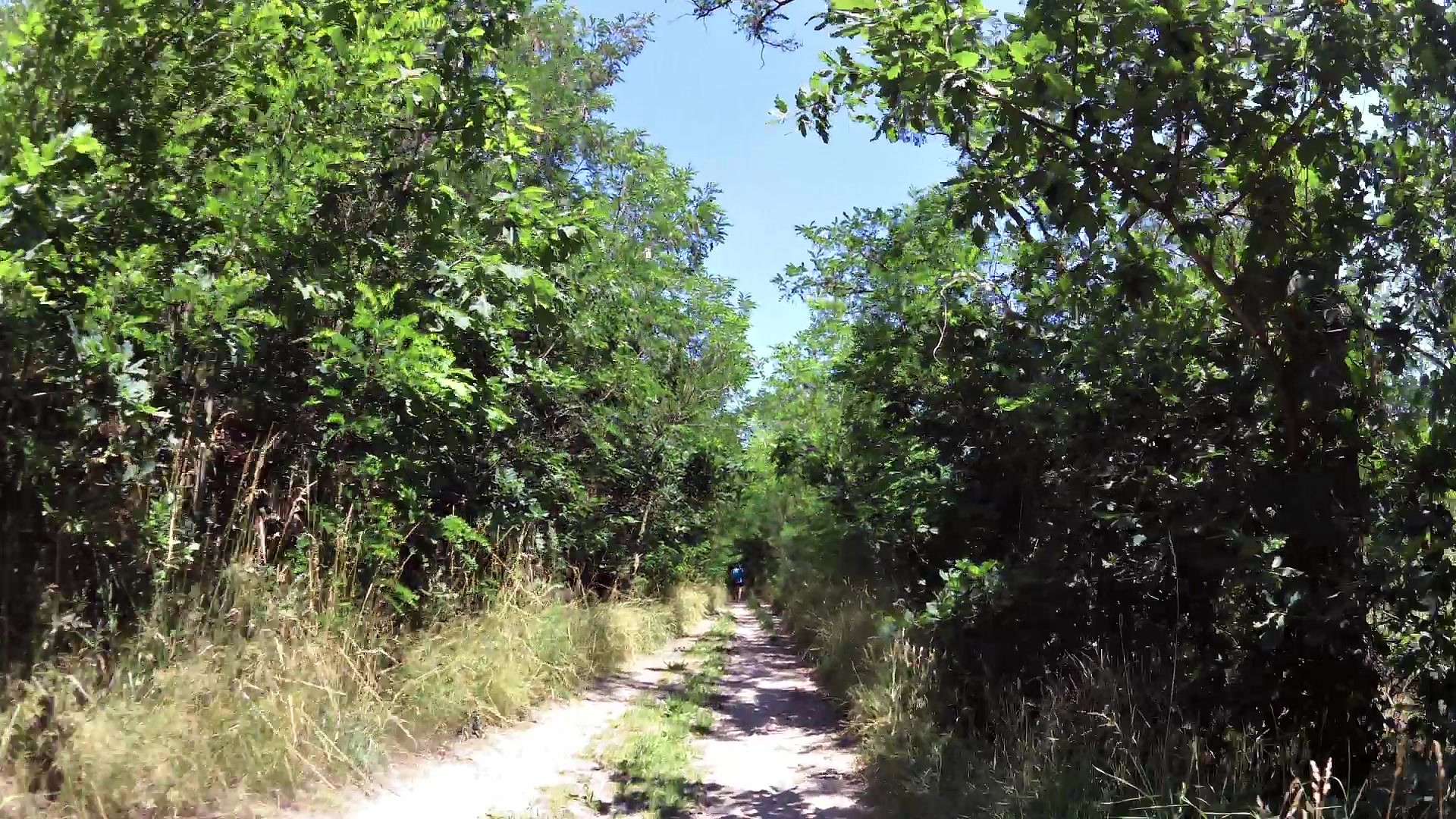
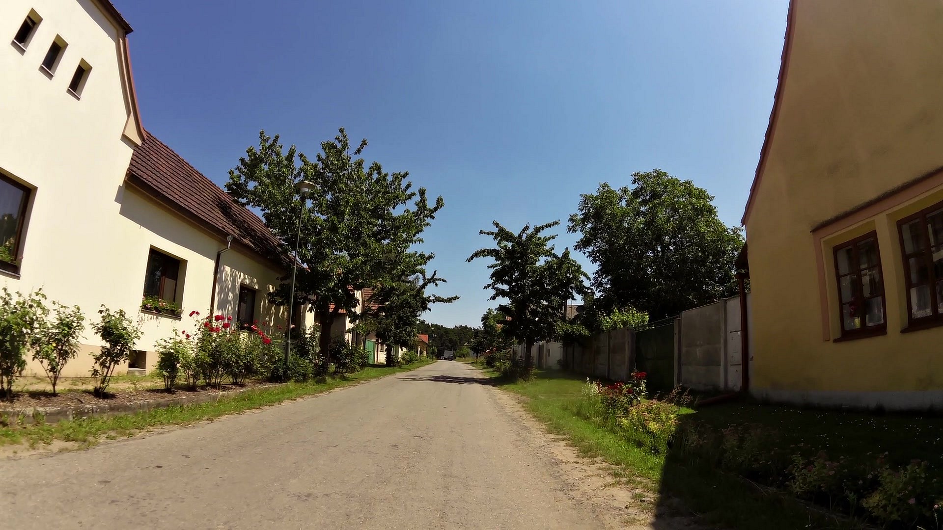
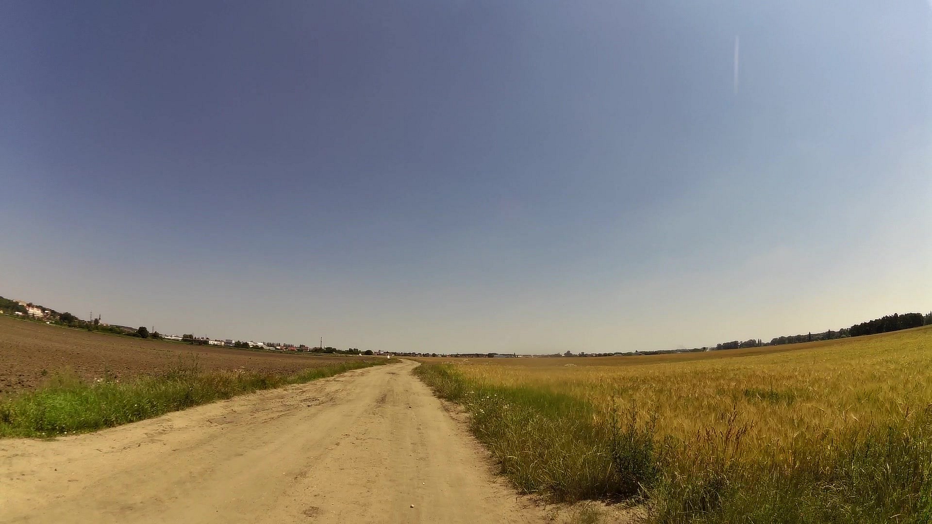
Cycling
difficulty:
Intermediate
length:
66.94km
total elevation:
537.70m
total descent:
547.00m
navigation:

| 0.00km from start |
66.94km to finish |
m elevation |
0m total elevation |
0m total descent |
| Tourist information center Brandýs nad Labem | map | video | |
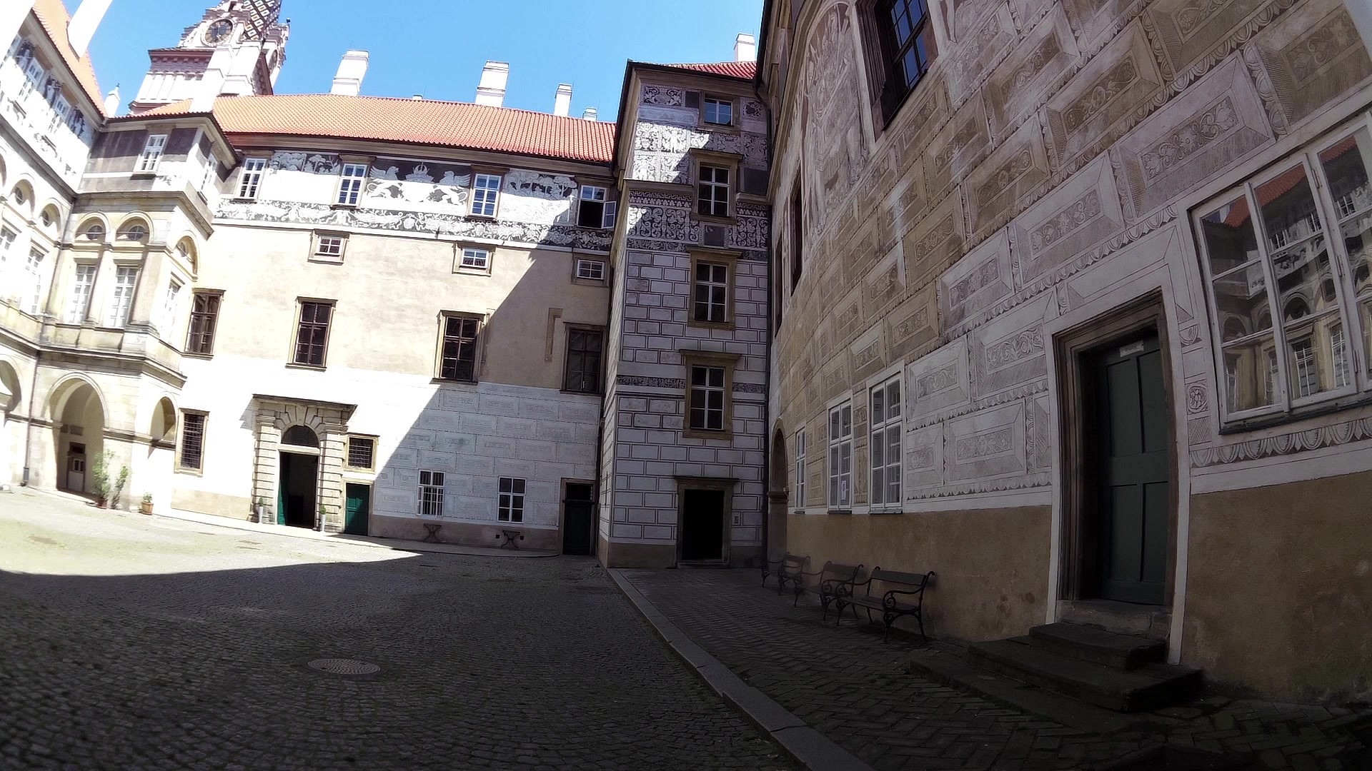
| Chateau and Chateau garden Brandýs nad Labem | map | video | |
| Podzámecký mill and a stone bridge | map | video | |
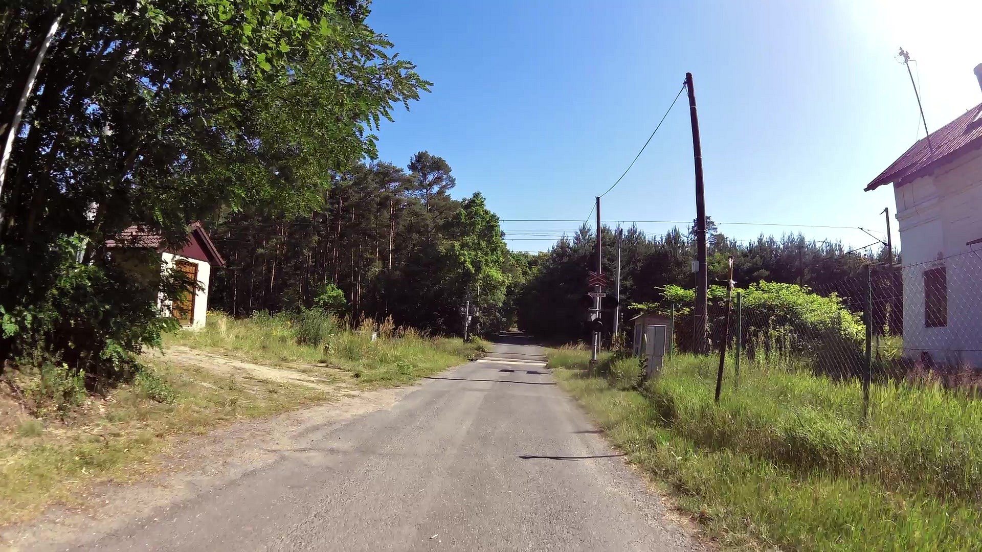
| Opening information board of Rudolf II. educational trail | map | video | |
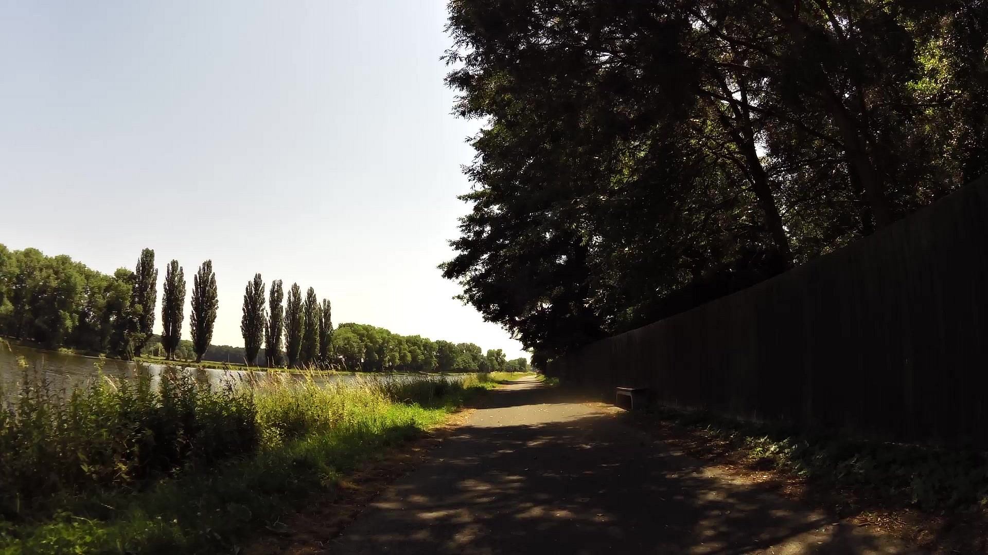
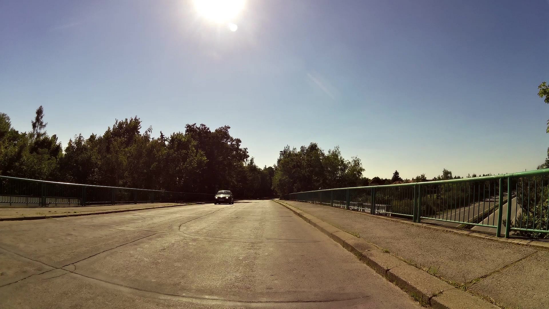
| Footbridge over the river Labe (Elbe) | map | video | |
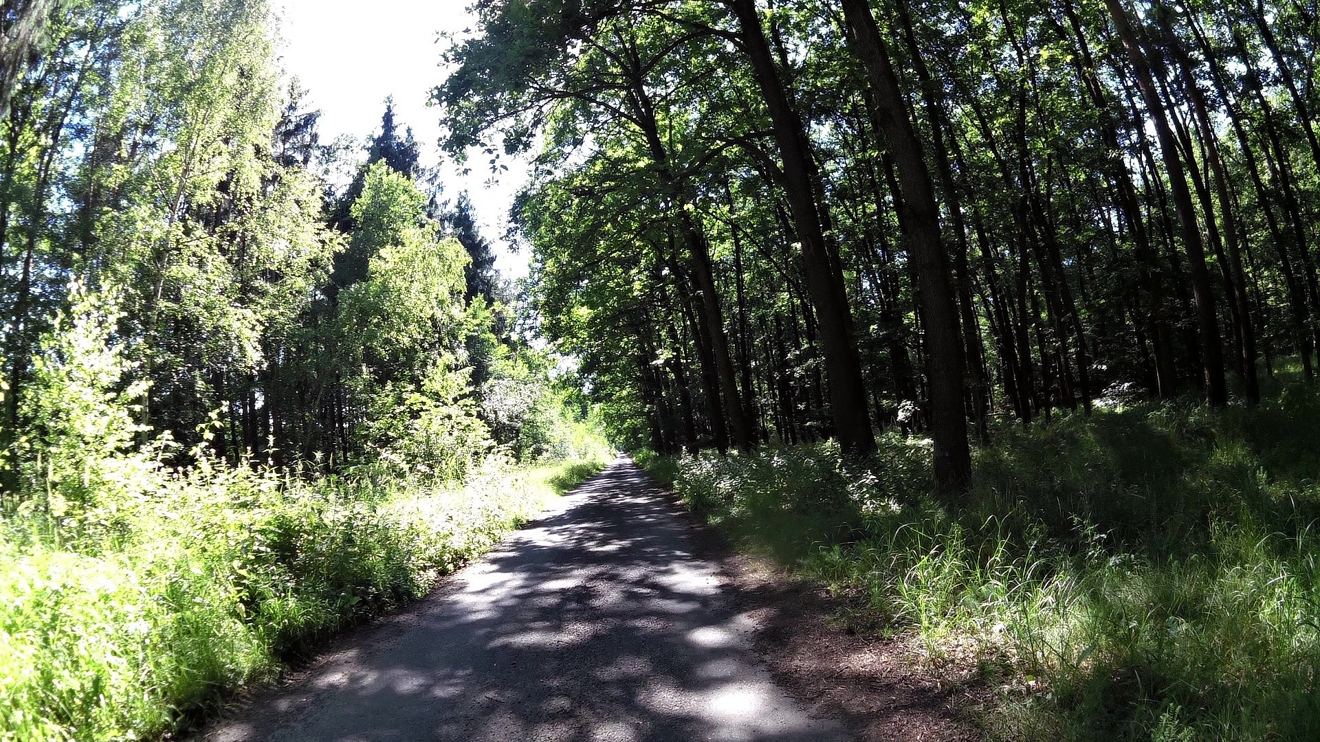
| St. Wenceslas hermitage nearby Čelákovice | map | video | |
| Baroque village Byšičky | map | video | |
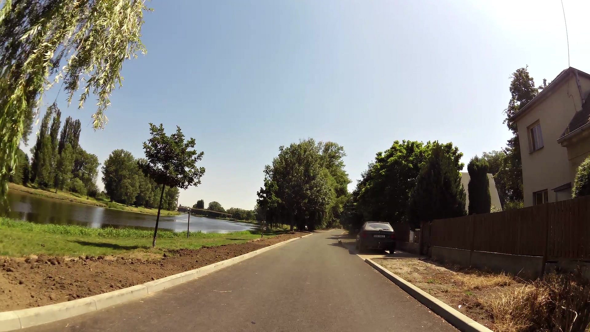
| Tourist information center Lysá nad Labem | map | video | |
| Museum of Bedřich Hrozný | map | video | |
| Chateau Lysá nad Labem | map | video | |
| National natural park Hrabanovská Černava | map | video | |
| Thousand years lime | map | video | |
| Bon Repos (hermatige) | map | video | |
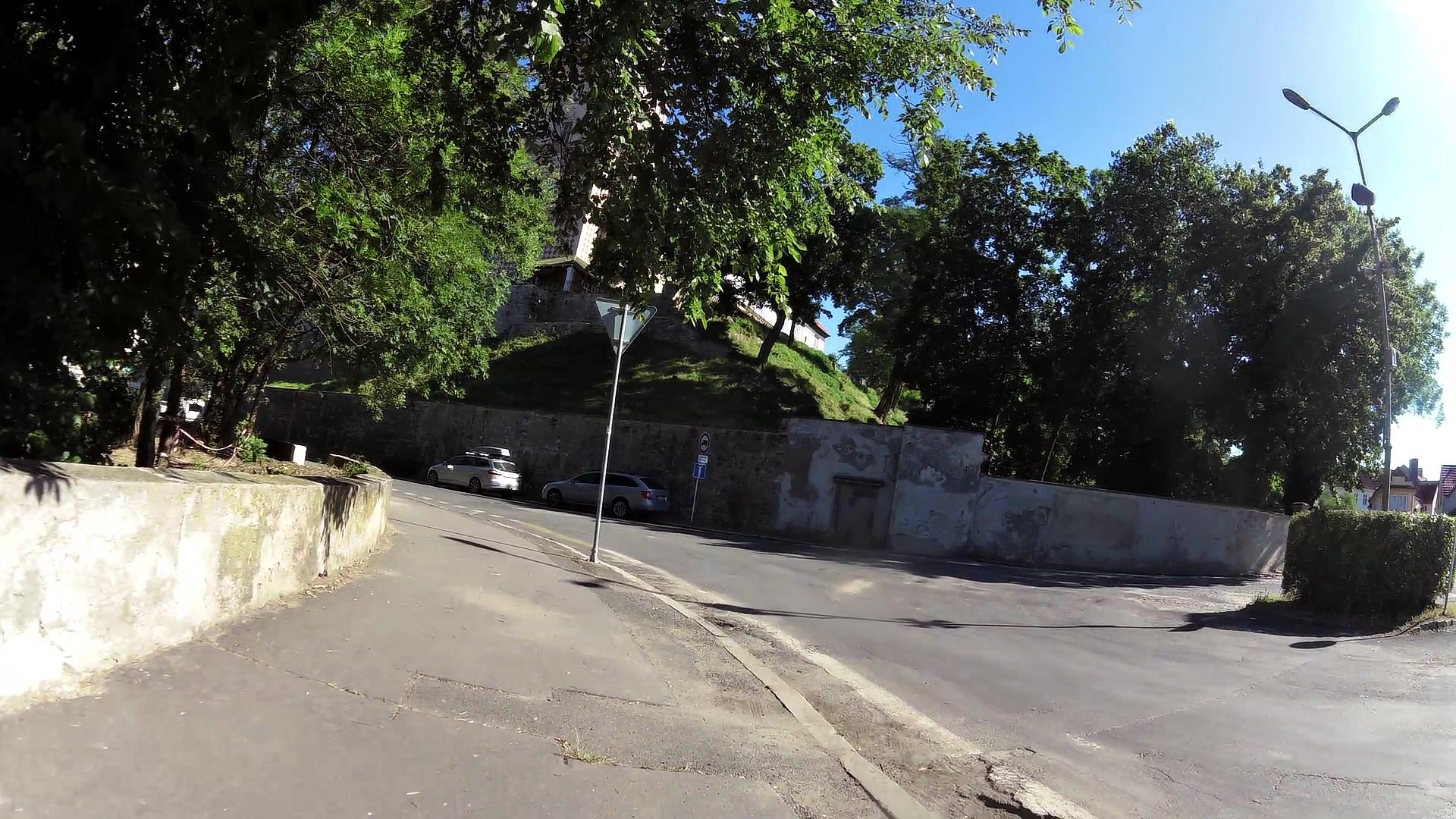
| Chateau tower | map | video | |
| Chateu Benátky nad Jizerou | map | video | |
| Tourist information center Benátky nad Jizerou | map | video | |
| Lookout tower Kostelní Hlavno | map | video | |
| Hlavenec - former Rudolf's chateau and Charles VI. monument | map | video | |
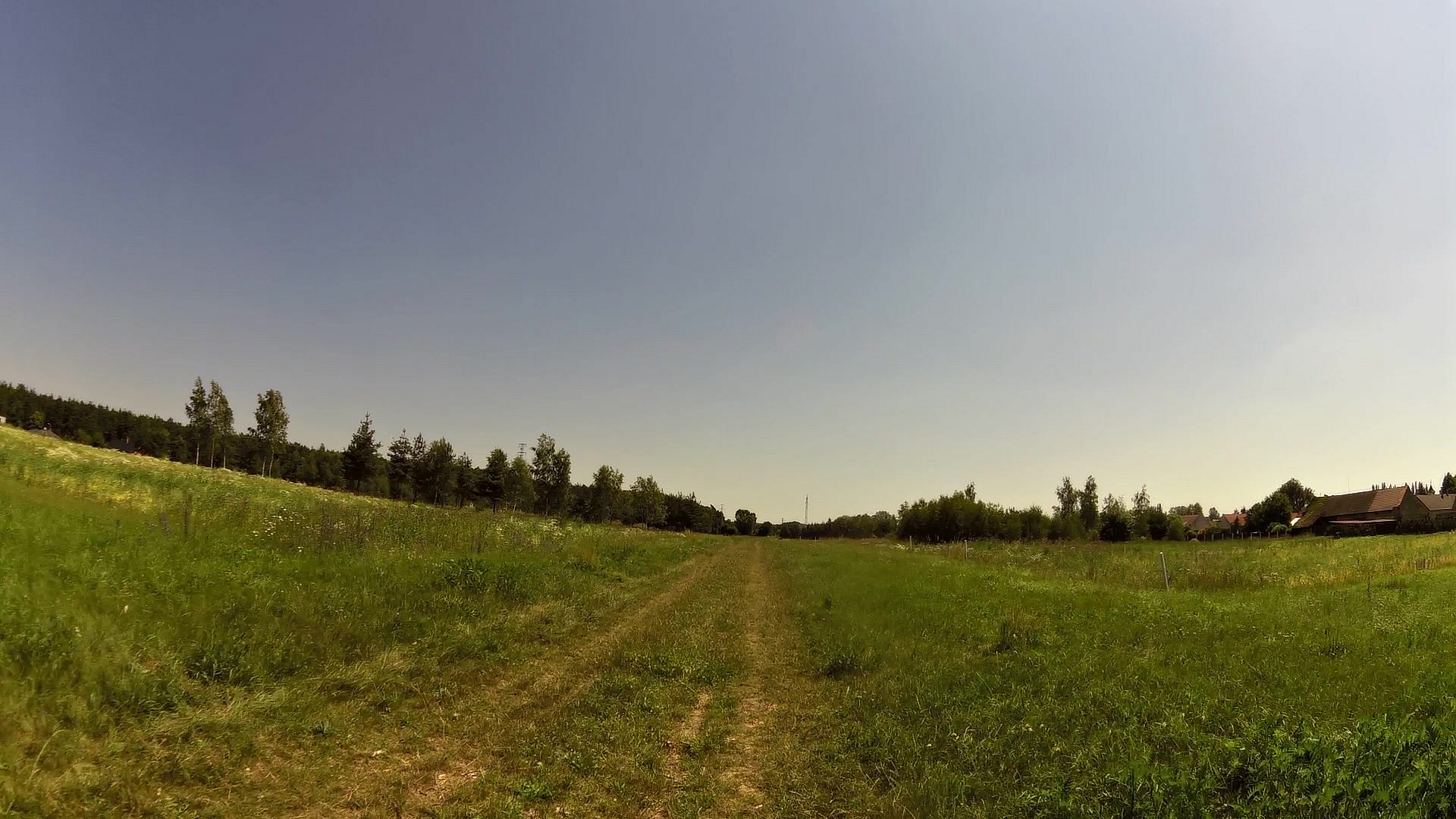
| Natural park Hluchov | map | video |


![]() Back to the list of videoroutes
Back to the list of videoroutes


