like:
type:
Walking tour
difficulty:
Easy
length:
3.72km
total elevation:
17.20m
total descent:
11.20m
navigation:

| 0.00km from start |
3.72km to finish |
m elevation |
0m total elevation |
0m total descent |
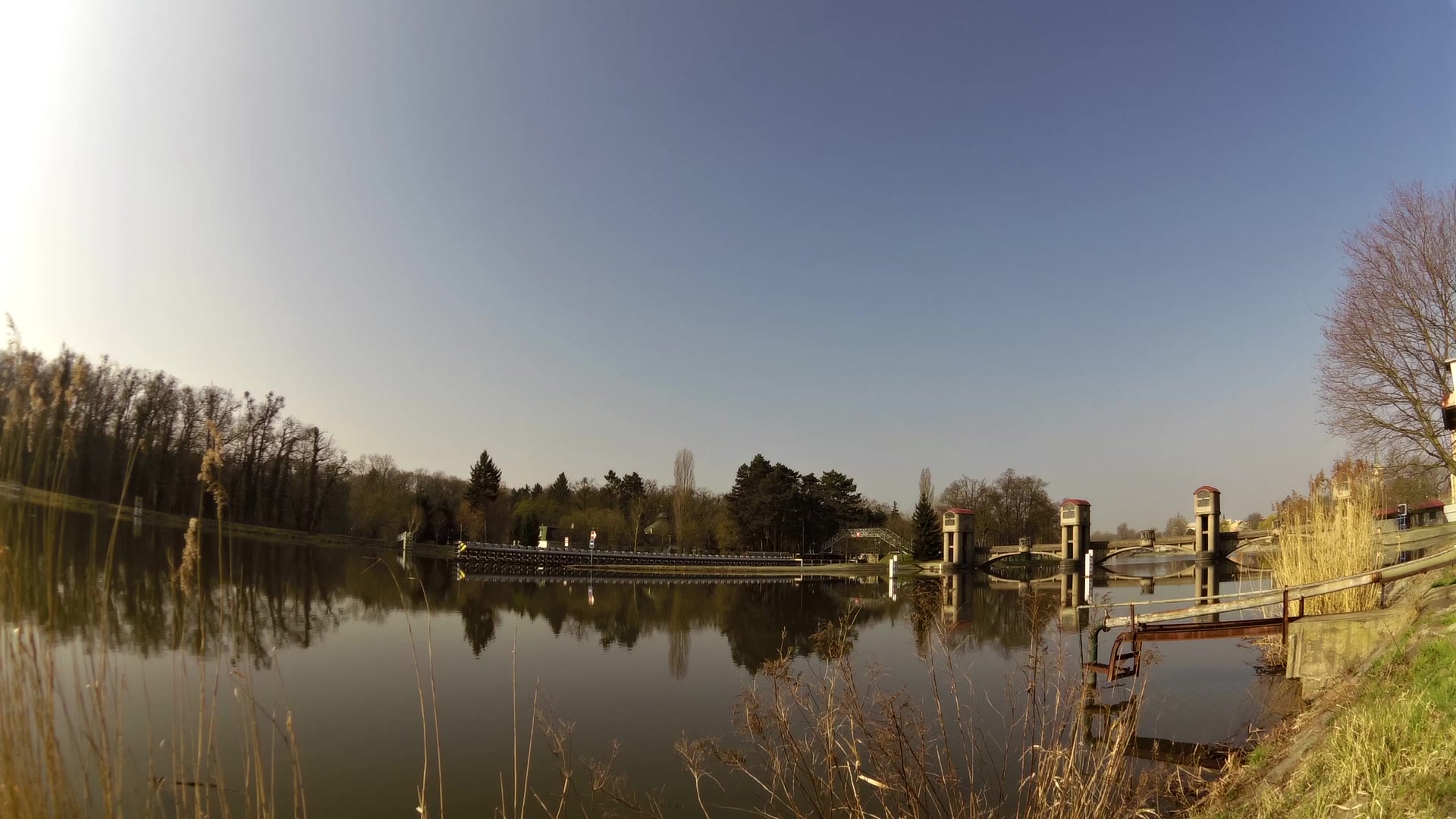
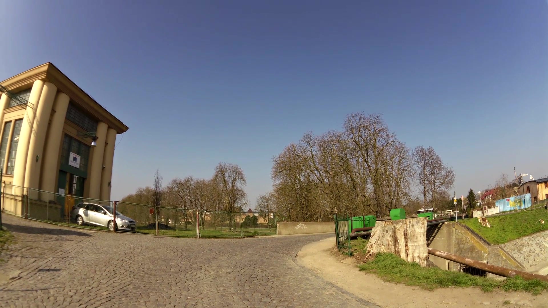
| Hydroelectric power station | map | video | |
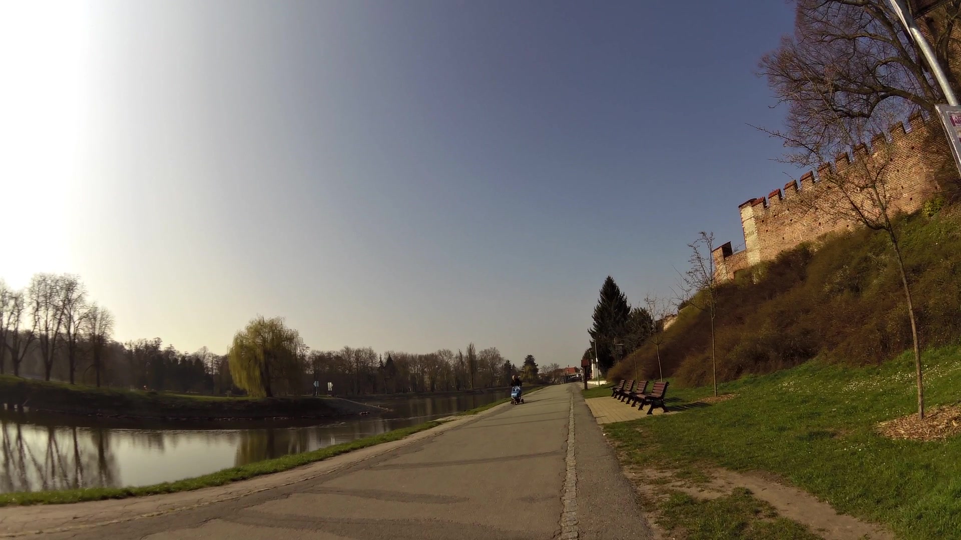
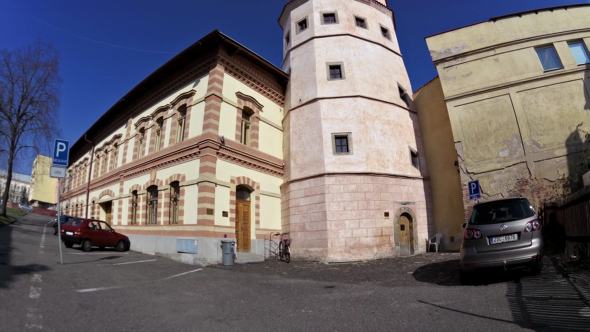
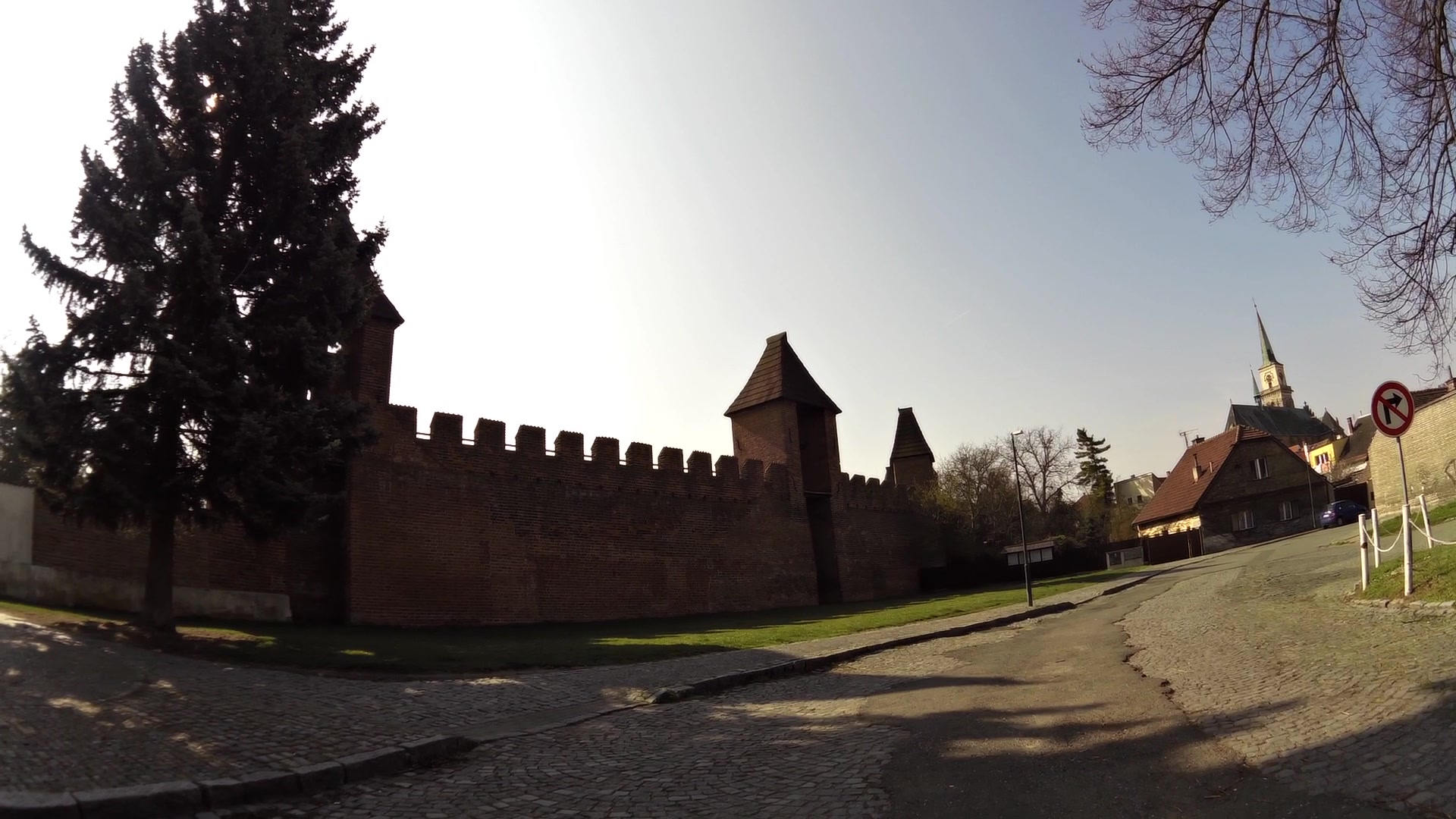
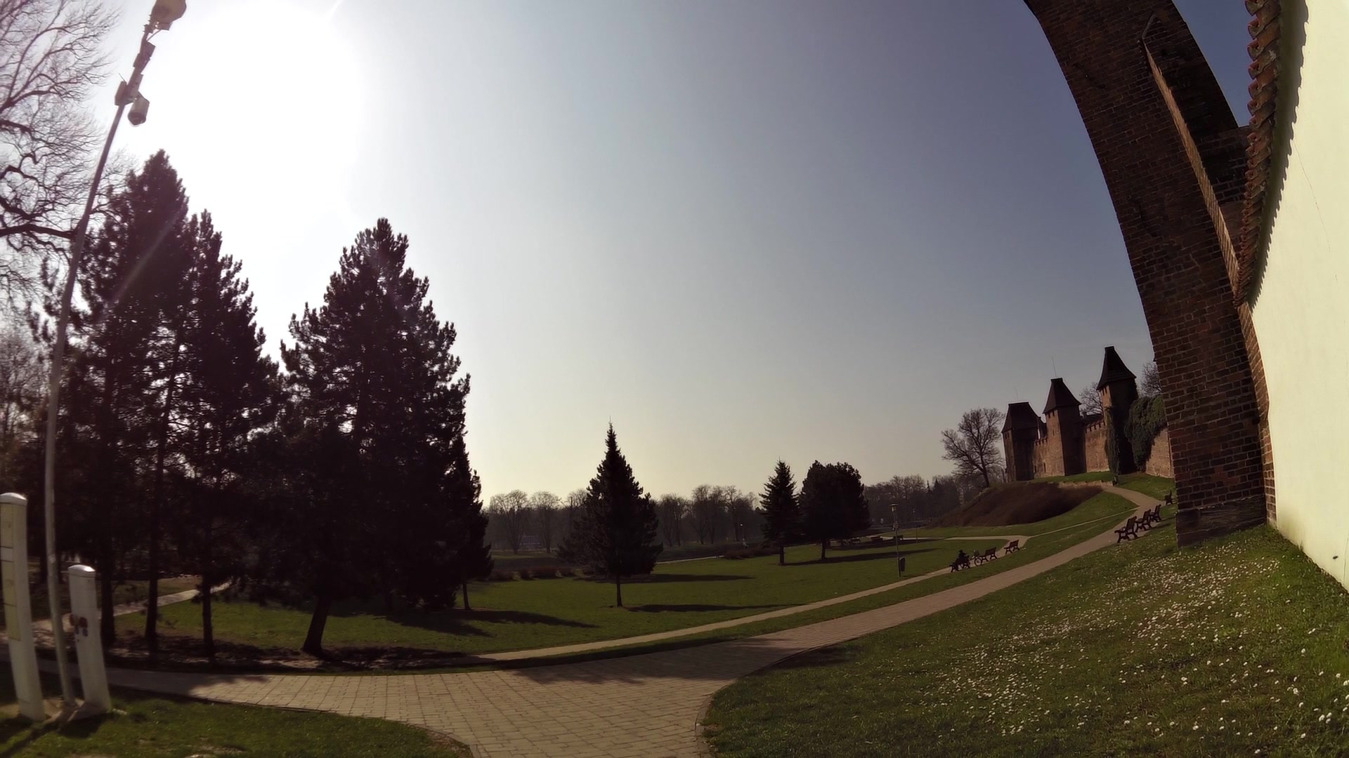
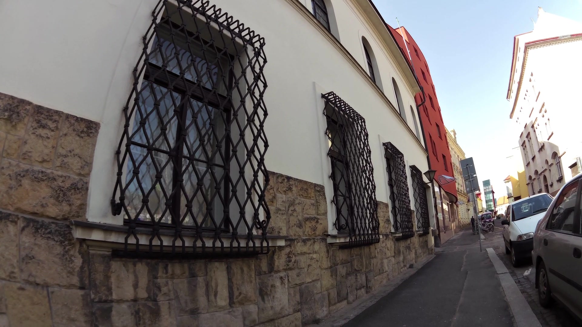
| The medieval fortifications | map | video | |
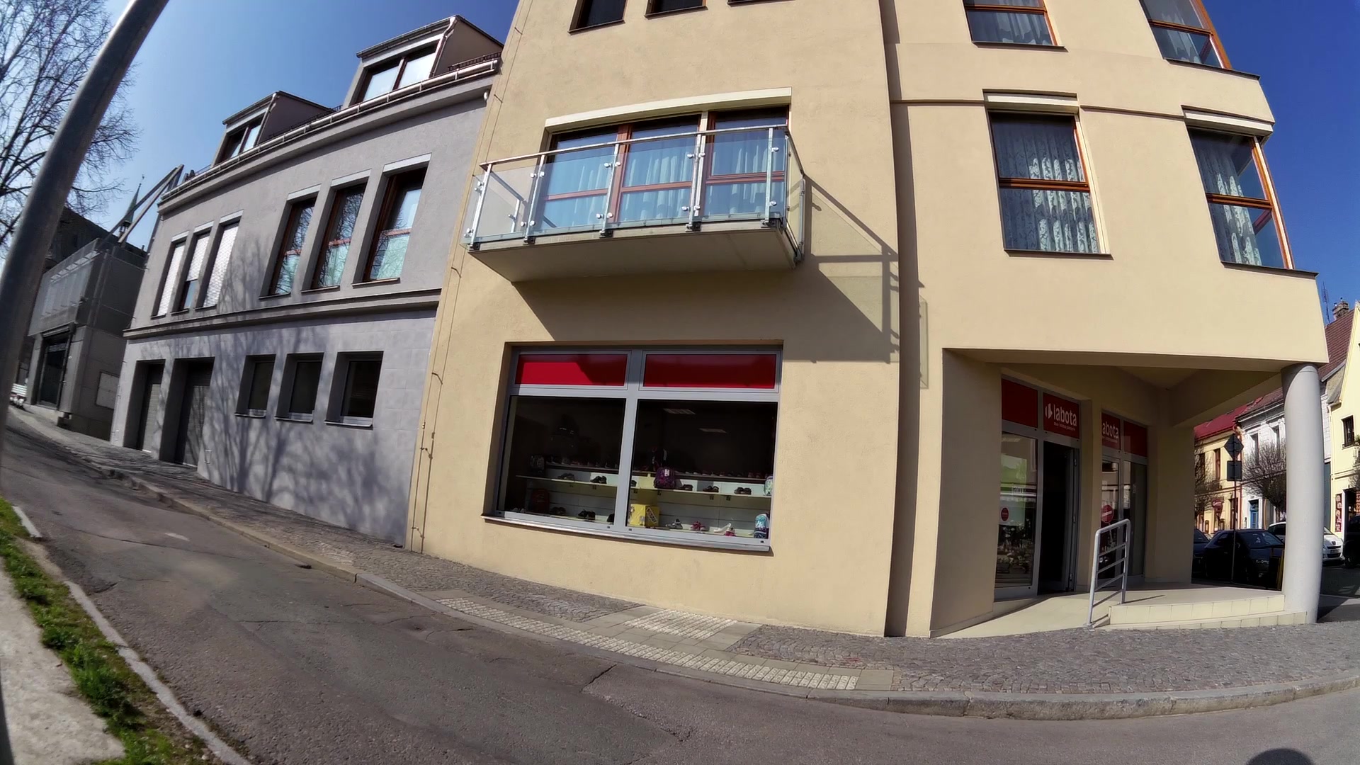
| The Old fish shop | map | video | |
| The Turkish tower | map | video | |
| The Chapel of St. John Nepomuk | map | video | |
| Local History Museum | map | video | |
| Evangelical church | map | video | |
| Jan Hus church | map | video | |
| The municipal waterworks | map | video | |
| Cairn | map | video | |
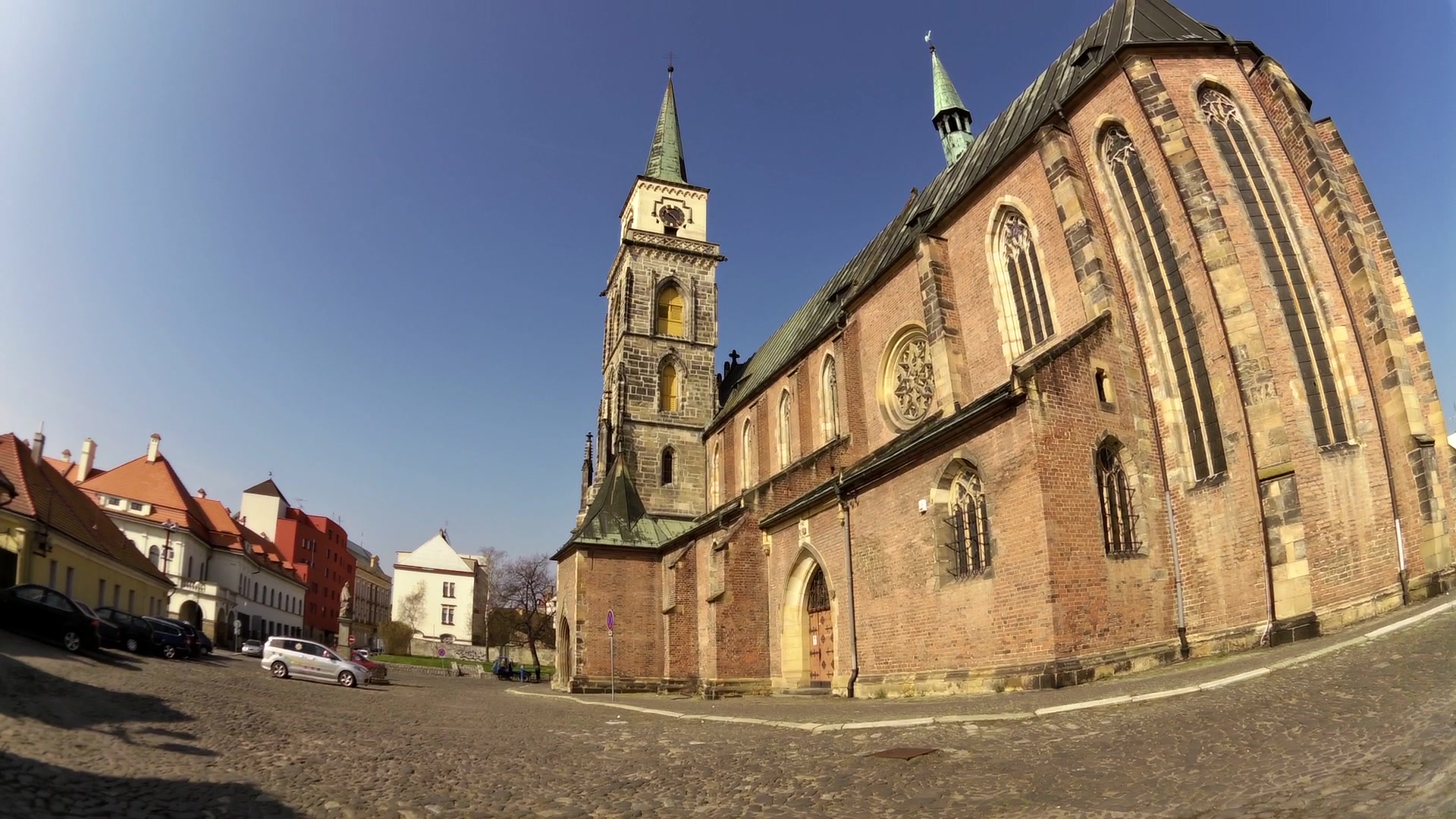
| St. Jiljí church | map | video | |
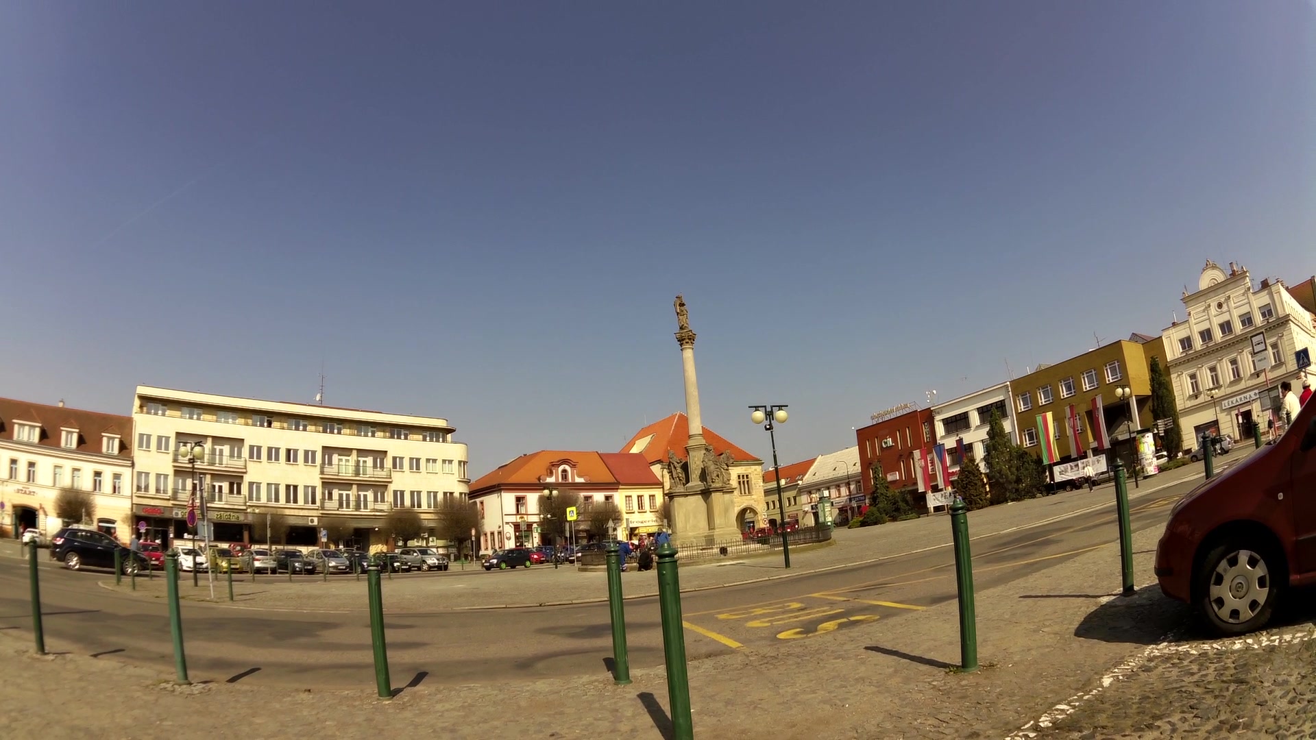
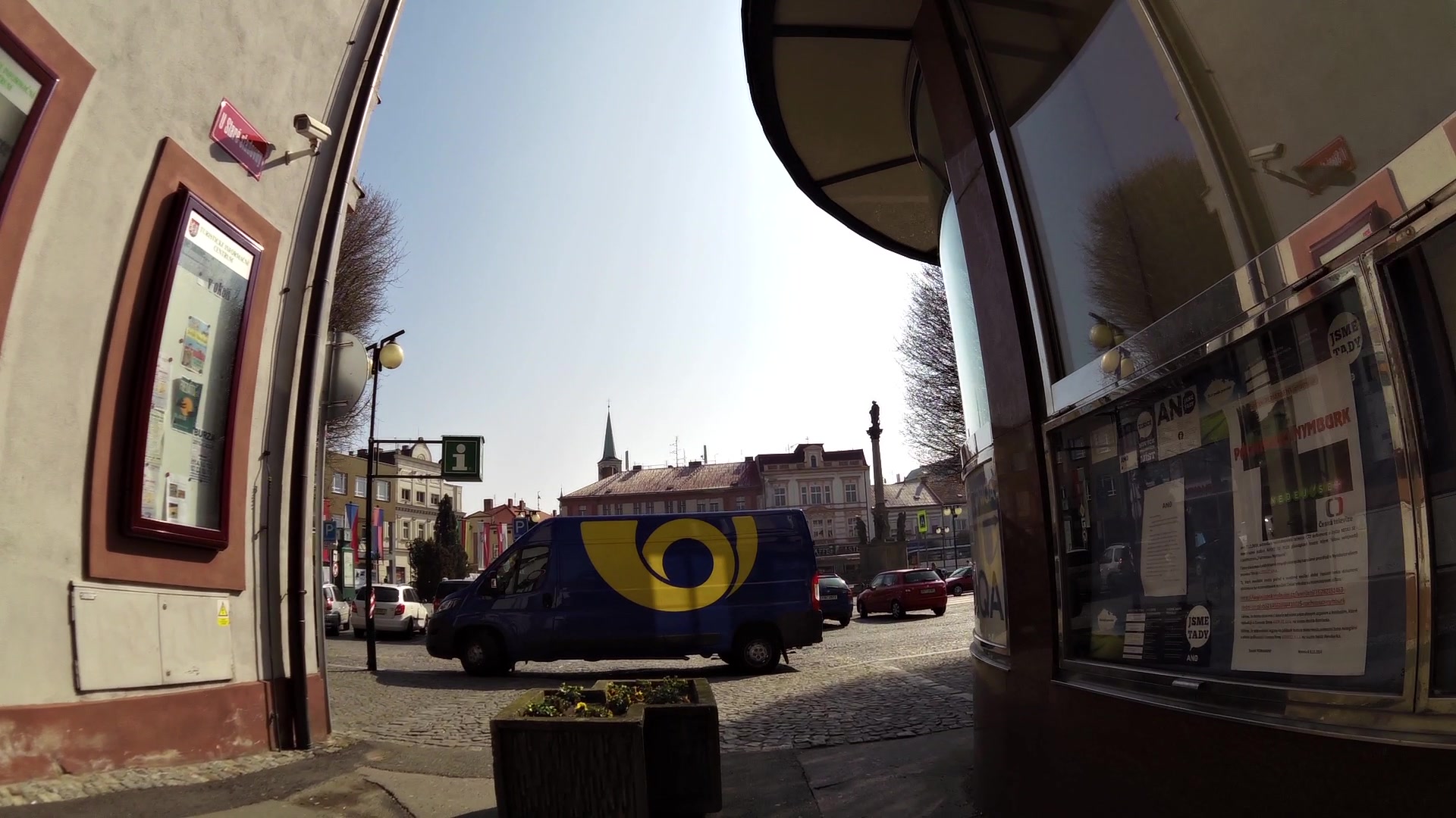
| The Plague Column | map | video | |
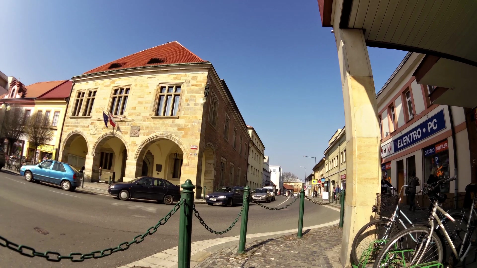
| Renaissance town hall | map | video | |
| Hlava's house - Tourist Information Center | map | video |
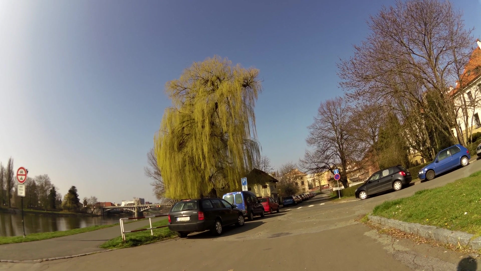
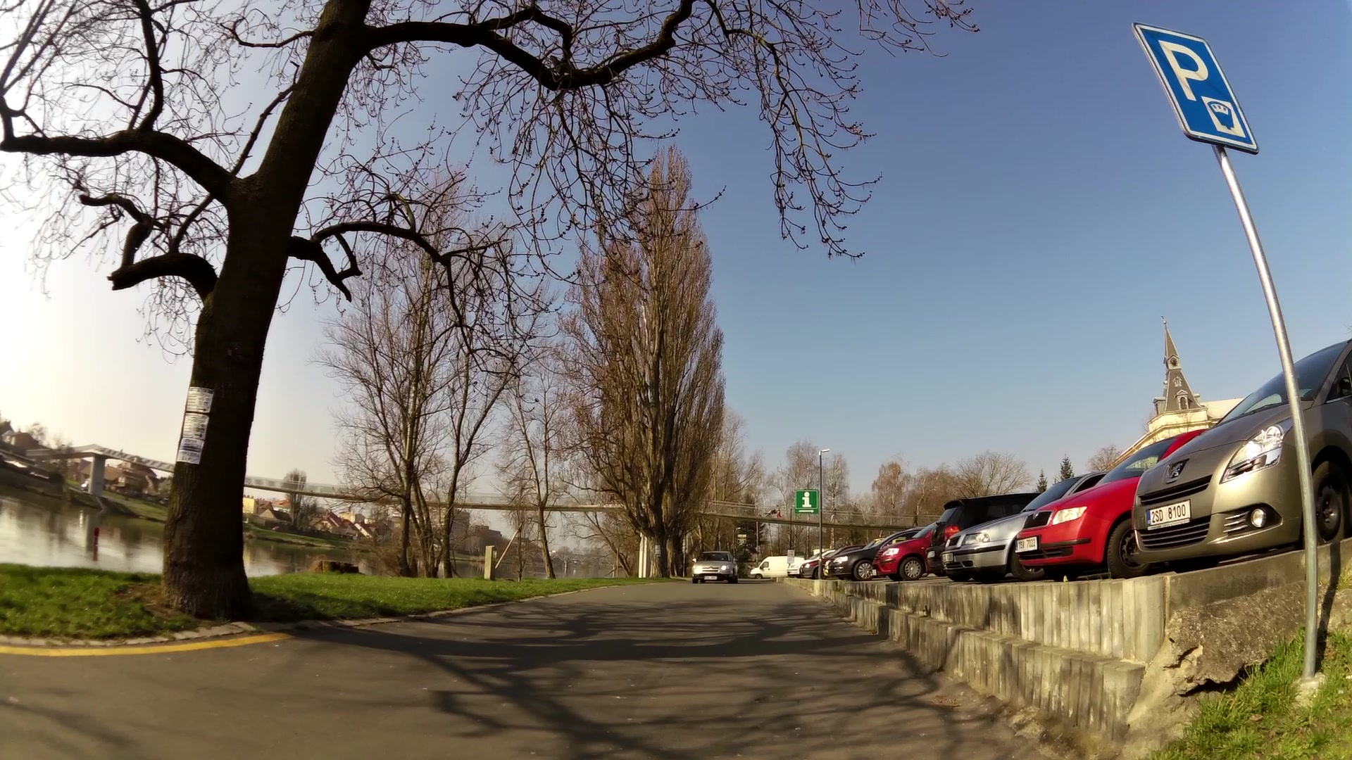
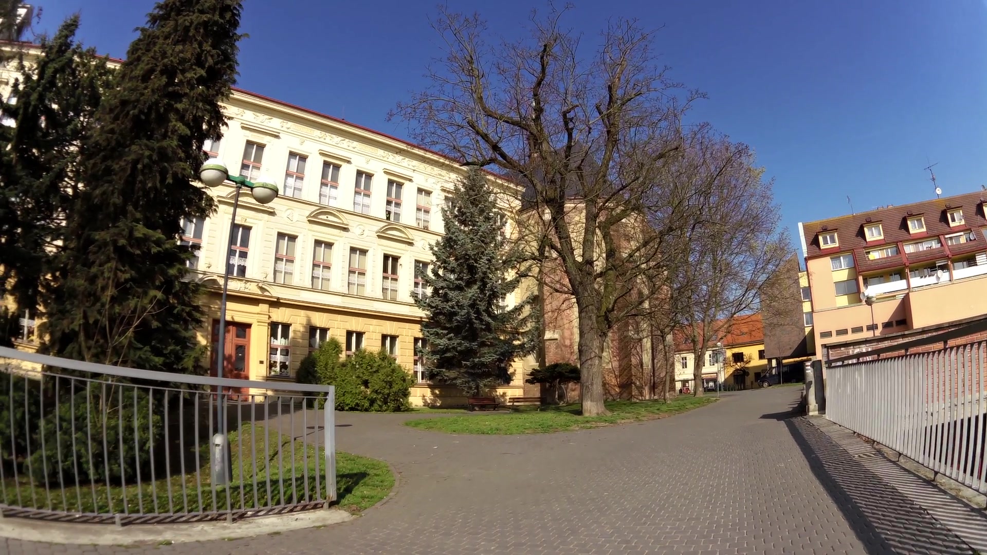
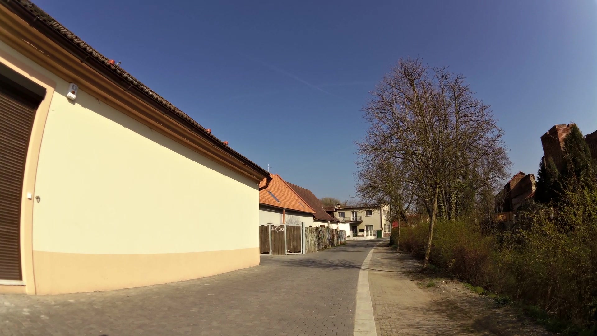
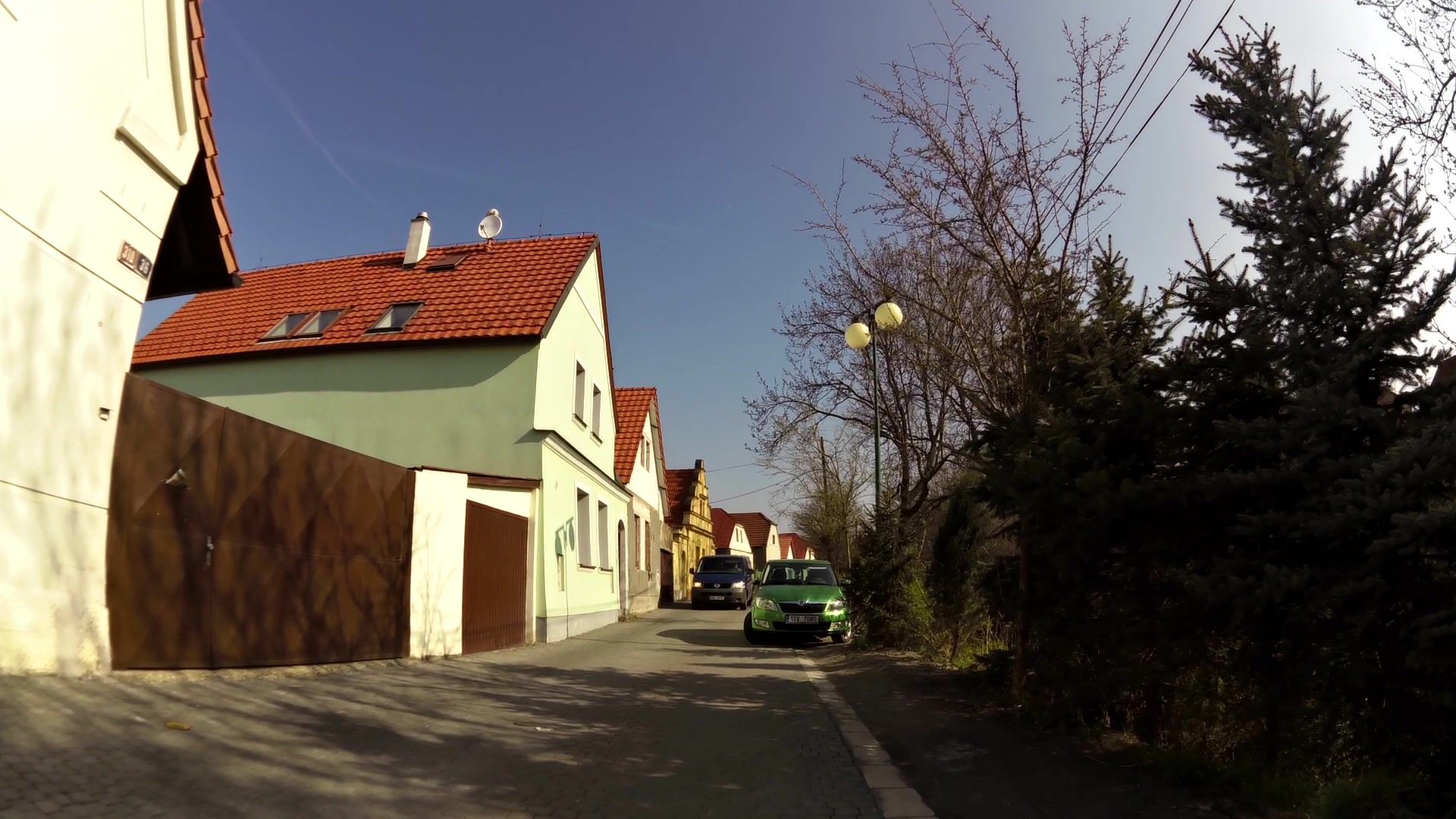
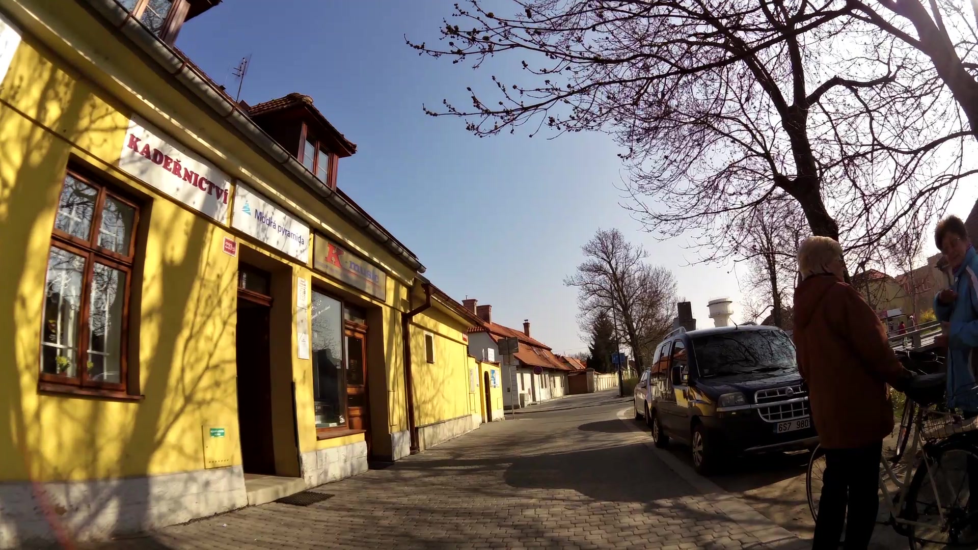
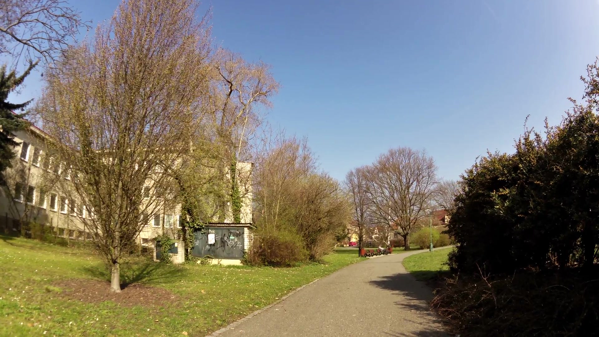
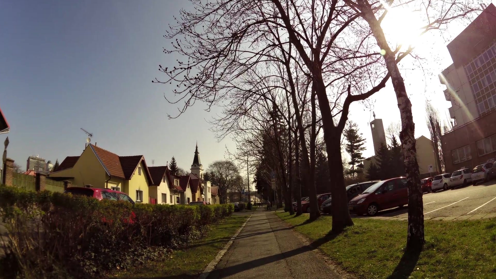
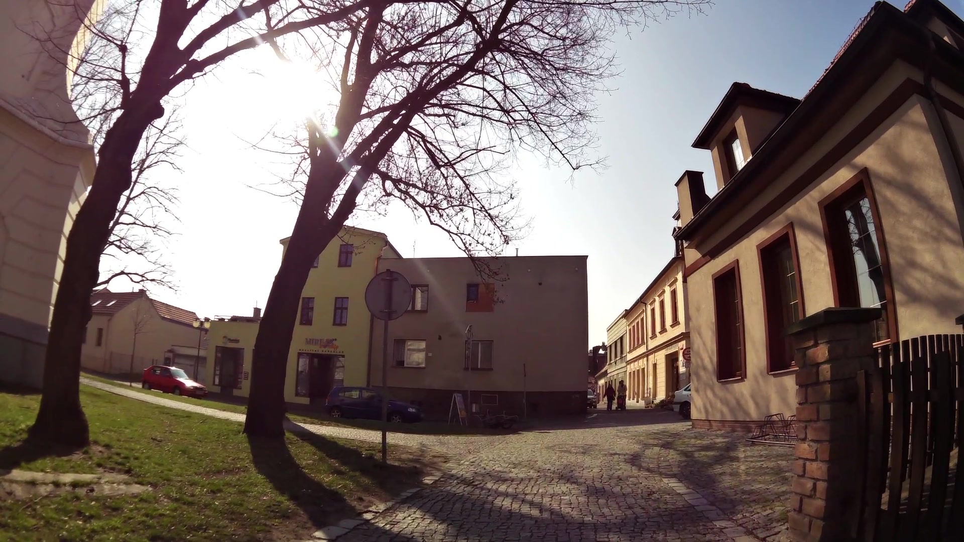
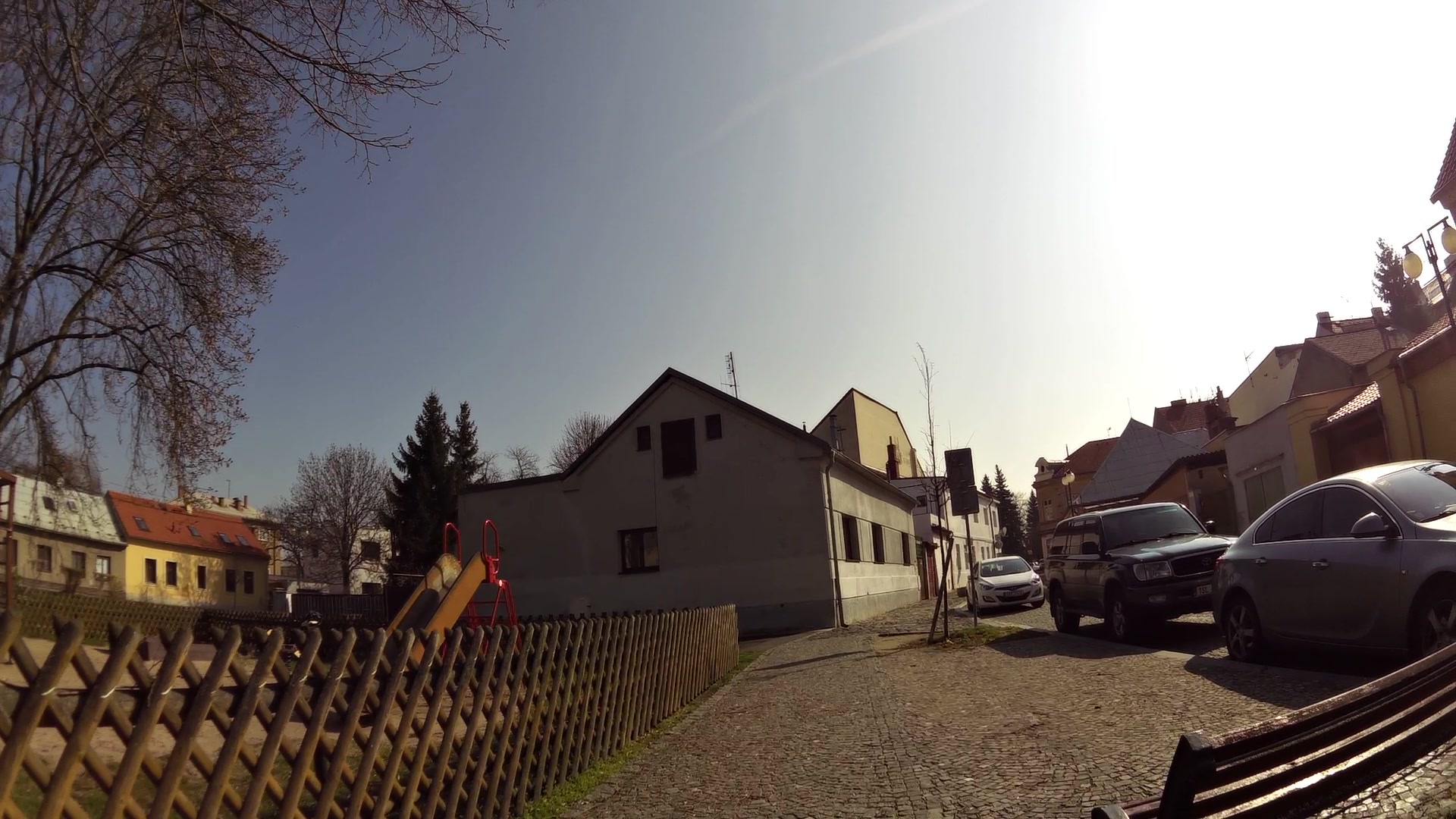
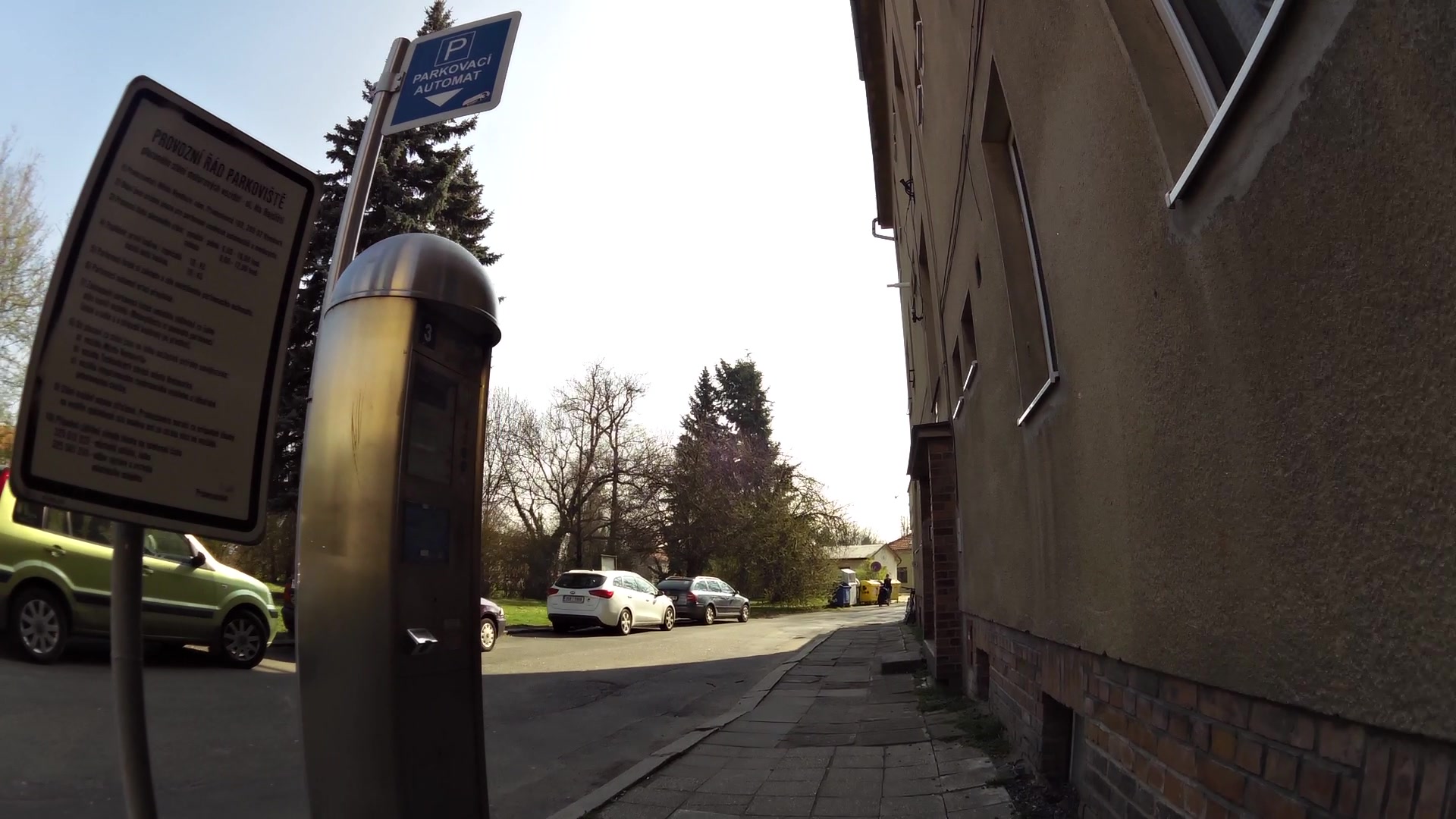
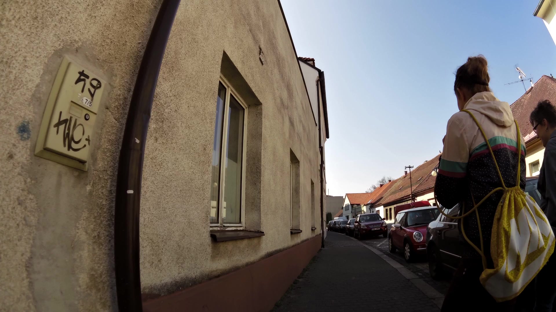
Take the pleasant stroll through the ancient royal town of Nymburk, which is situated in the Labe lowland along both banks of the river. Discover the historical core of Nymburk with its medieval fortified walls, Church of St. Jiljí, preserved dual water system fortifications, renaissance Town Hall, Turkish tower and other sights thanks to which the town was declared a municipal conservation area.
Nymburk is a town with centuries-old brewing traditions, important railway junction, it is a city of sights, culture, greenery, sports and cycling (Labe and Hrabal's cycle path). It is also a town where the writer Bohumil Hrabal spent his youth (a permanent exhibition of Bohumil Hrabal at the Museum of Natural History, Postřižiny brewery).


![]() Back to the list of videoroutes
Back to the list of videoroutes


")


