like:
type:
Cycling
difficulty:
Intermediate
length:
36.92km
total elevation:
644.70m
total descent:
644.80m
navigation:

| 0.00km from start |
36.92km to finish |
m elevation |
0m total elevation |
0m total descent |
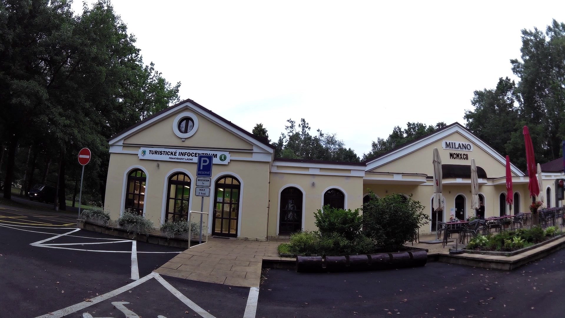
| Tourist information center | map | video | |
| Pond Amerika and Mini ZOO | map | video | |
| map | video | ||
| Castle and chateau Libá | map | video | |
| Hohenberg castle | map | video | |
| Water reservoir Skalka on the river Ohře | map | video | |
| Castle Cheb | map | video | |
| Town Cheb | map | video | |
| Volcano - Komorní Hůrka | map | video |


![]() Back to the list of videoroutes
Back to the list of videoroutes


