like:
type:
Walking tour
difficulty:
Easy
length:
29.56km
total elevation:
457.50m
total descent:
451.40m
navigation:

| 0.00km from start |
29.56km to finish |
m elevation |
0m total elevation |
0m total descent |
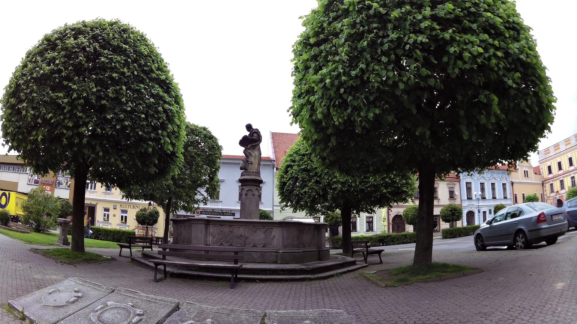
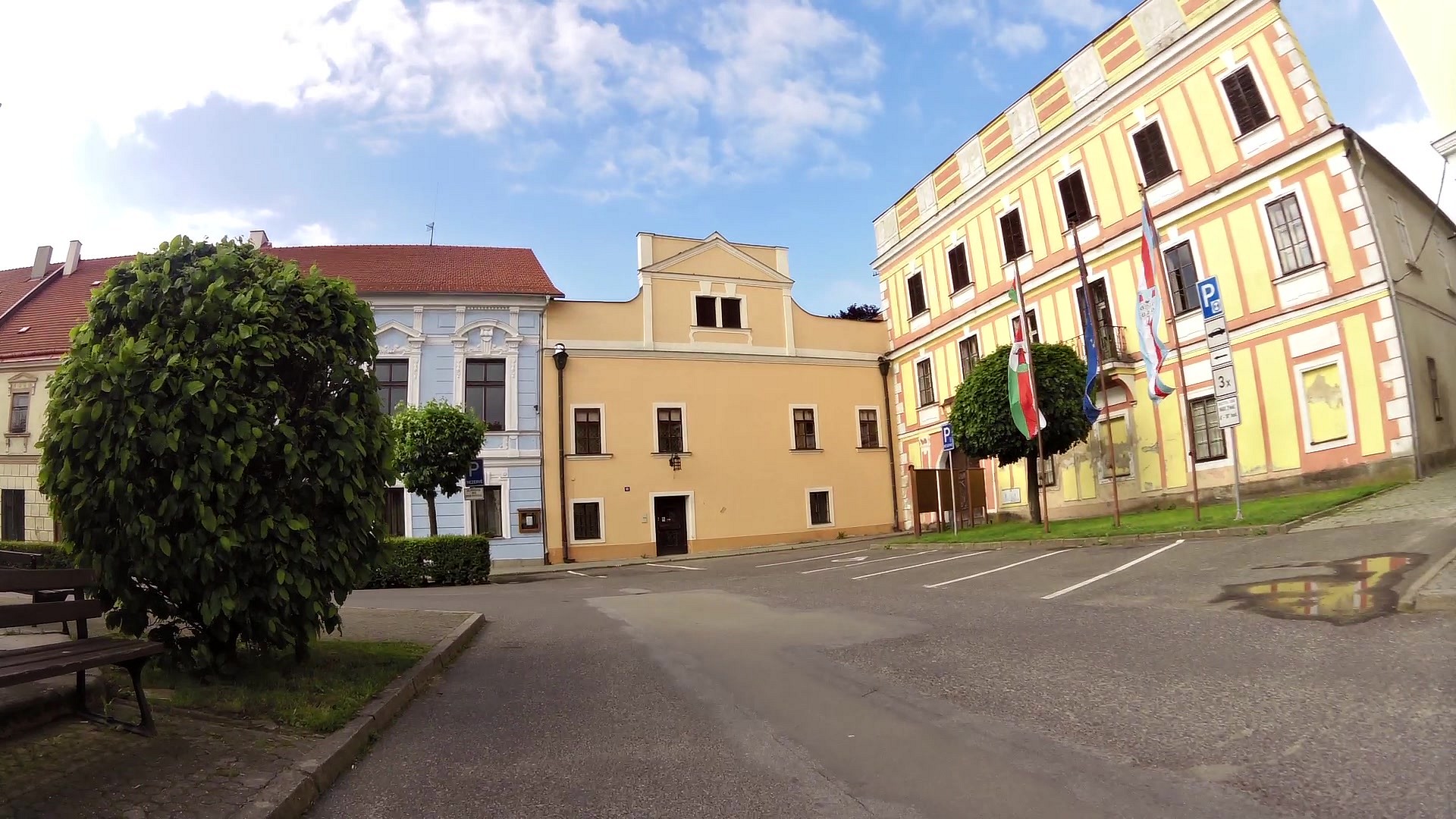
| Nová Bystřice -Tourist Information Center | map | video | |
| Nová Bystřice | map | video | |
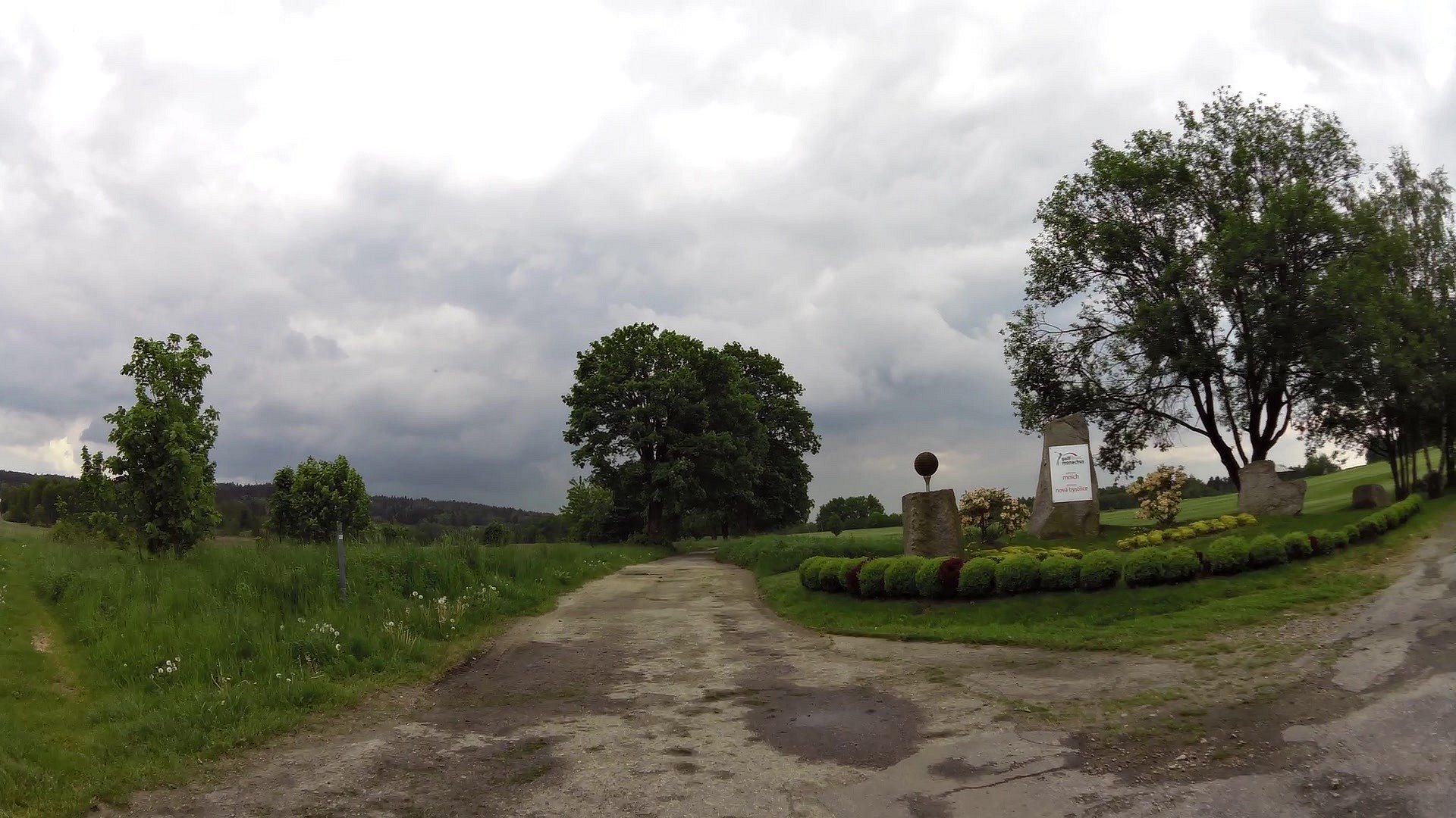
| Golf resort Monachus | map | video | |
| A former municipality Mnich | map | video | |
| A pond Velký Proudný | map | video | |
| Nature Reserve Blanko | map | video | |
| Smrčná (village) | map | video | |
| Hradiště (village) | map | video | |
| Hamerské rocks | map | video | |
| Ski slope Hradiste | map | video | |
| Ovčárna | map | video | |
| Hůrky | map | video | |
| Train station Hůrky | map | video | |
| Blato (village) | map | video | |
| Horní (The upper) Žišpašský pond | map | video | |
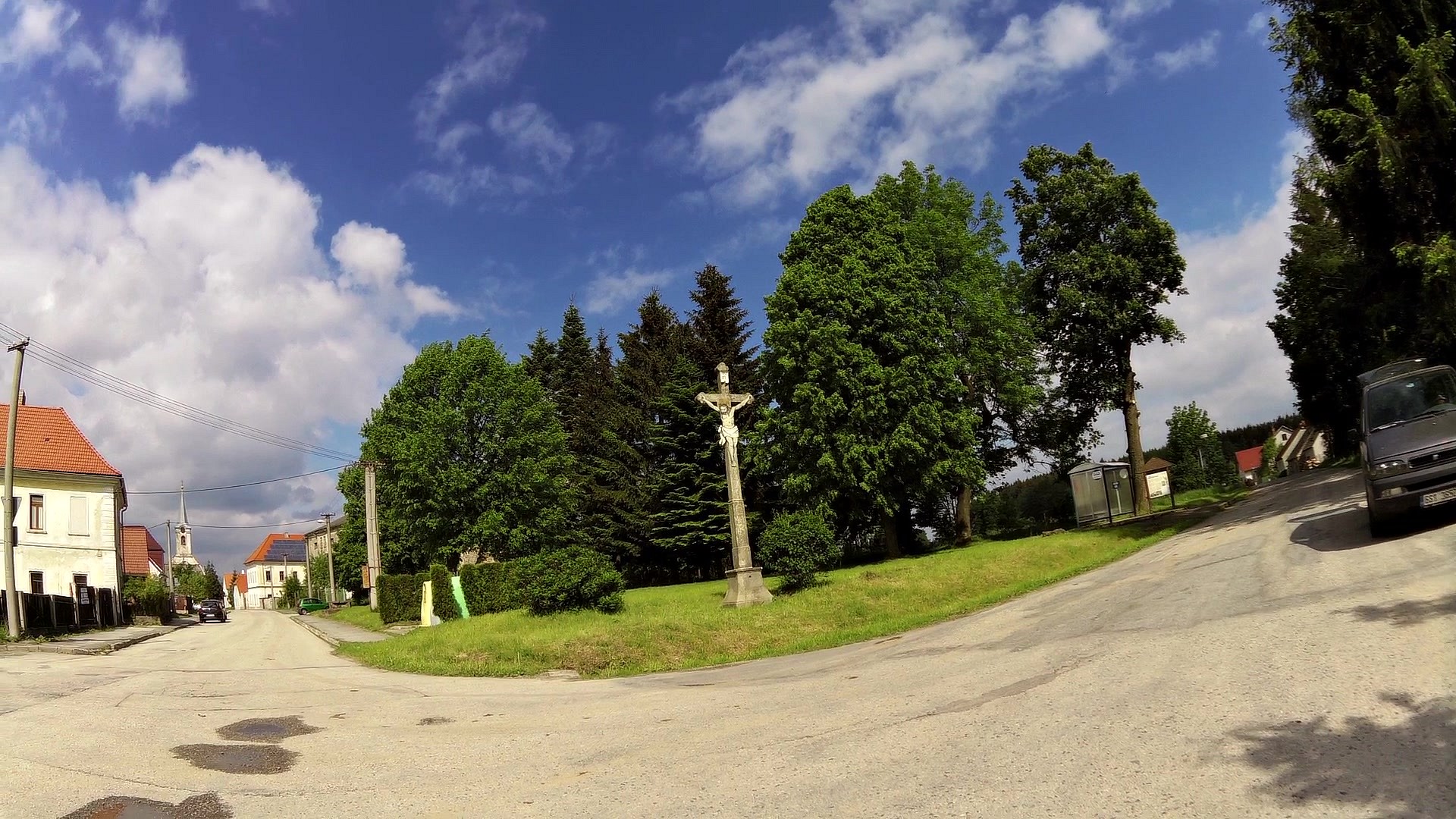
| The Church of the Holy Trinity in Klášter | map | video |
Take the path which takes you to places where the dreaded "crook" J.G. Grasel was robbing, surviving and hiding. The son of a beggar and a local knacker, who become a young leader of a local robbery gang. History is still alive in the songs and folk stories.
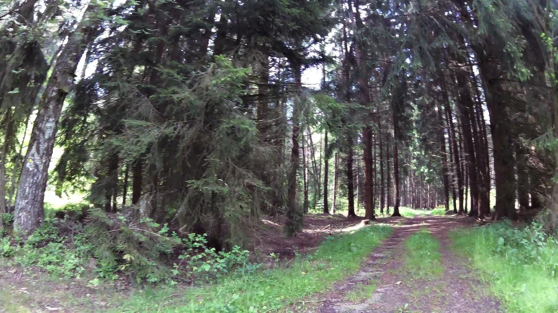
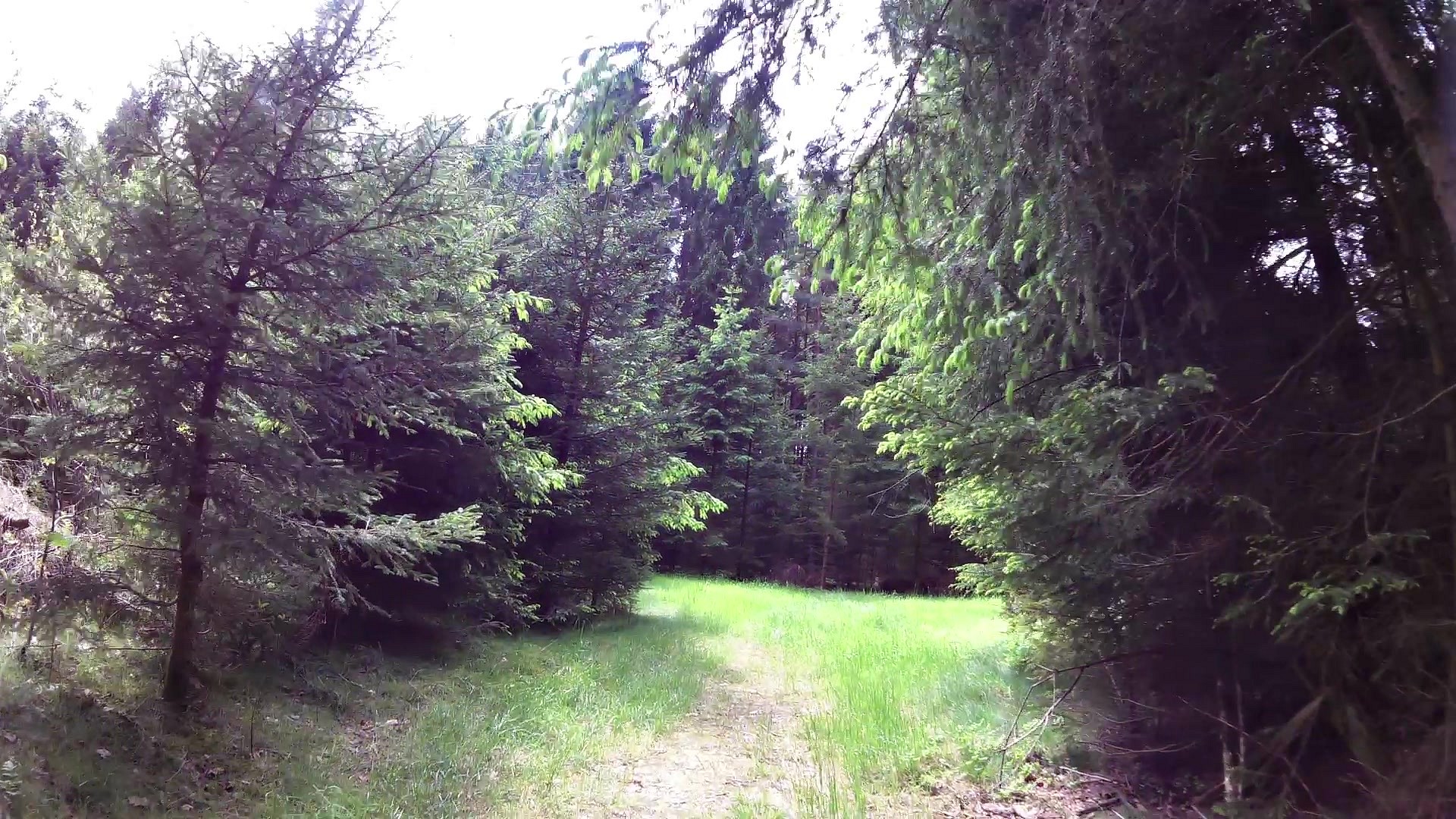
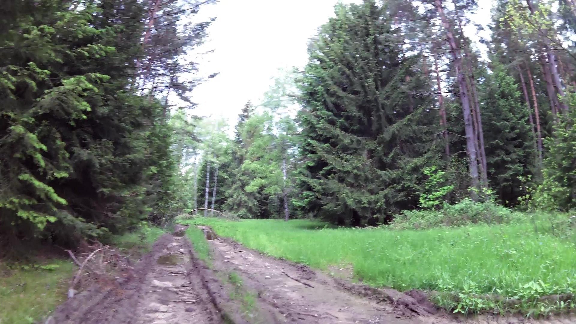
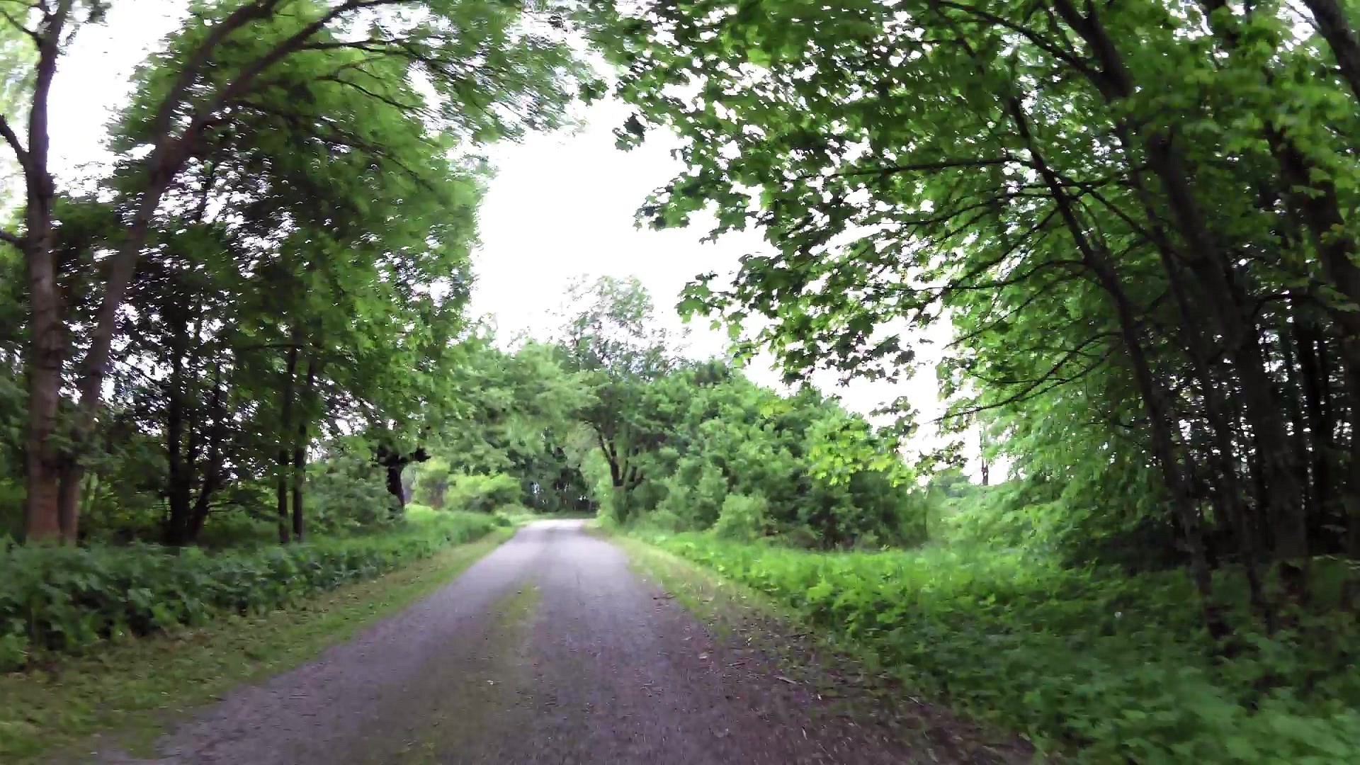
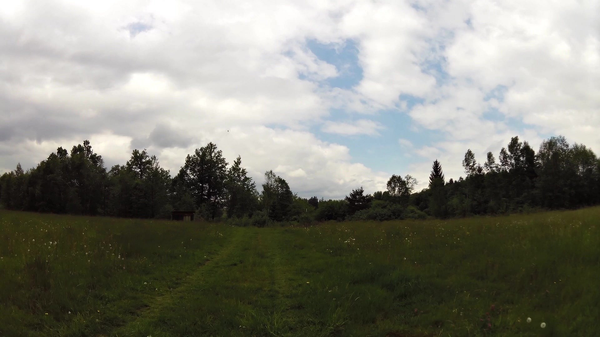
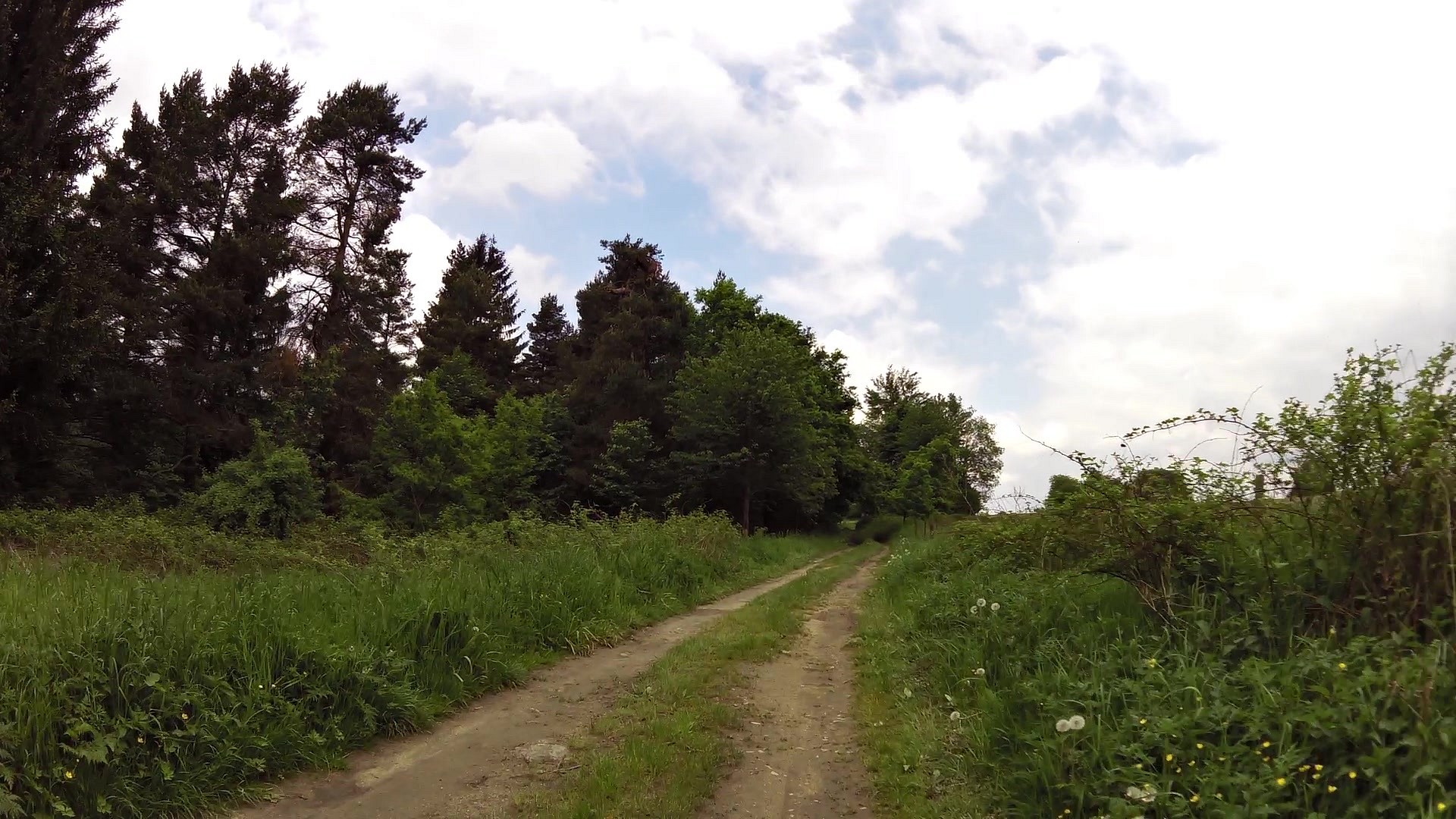
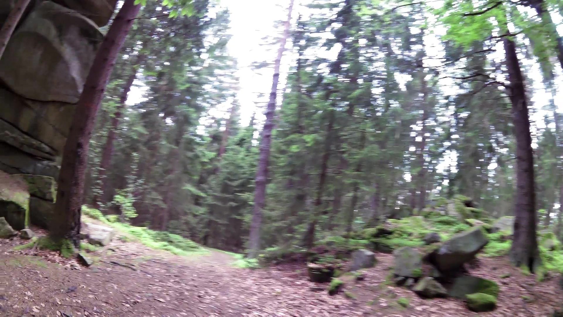
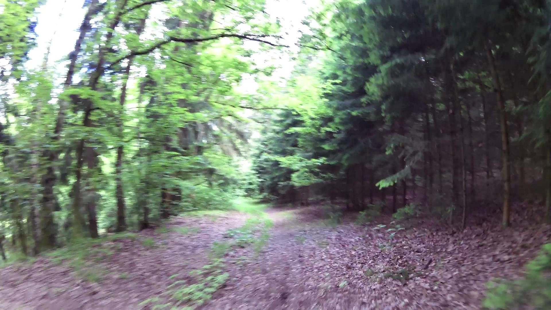
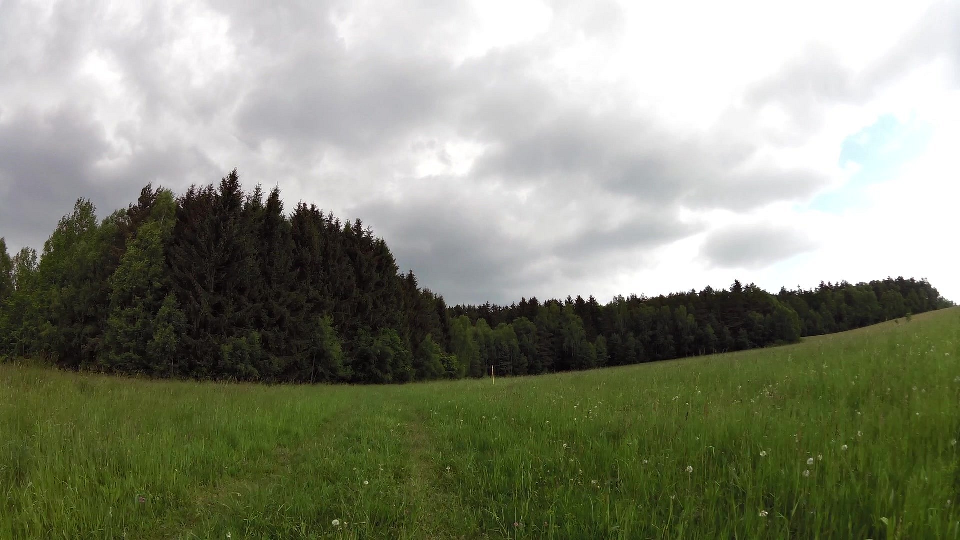
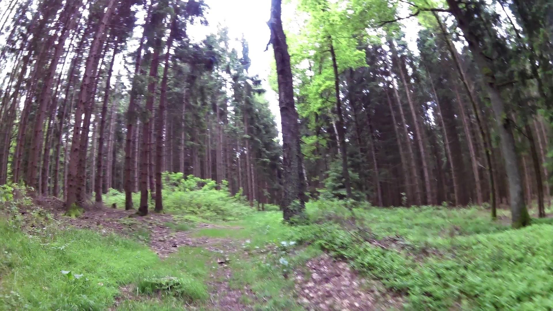
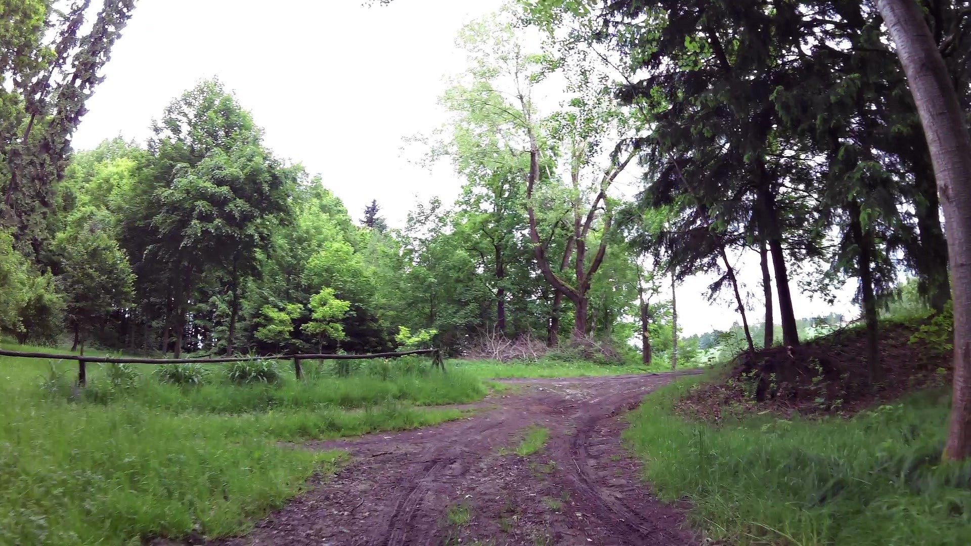
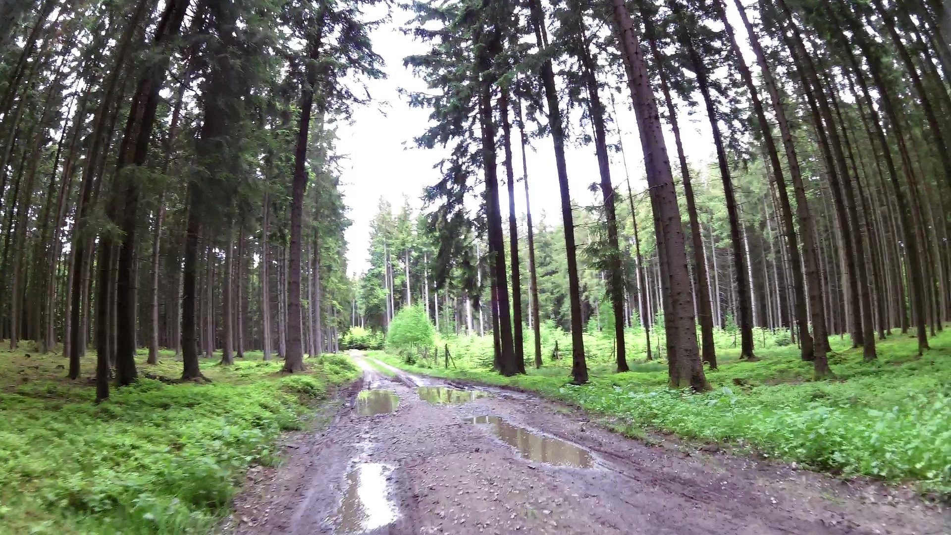
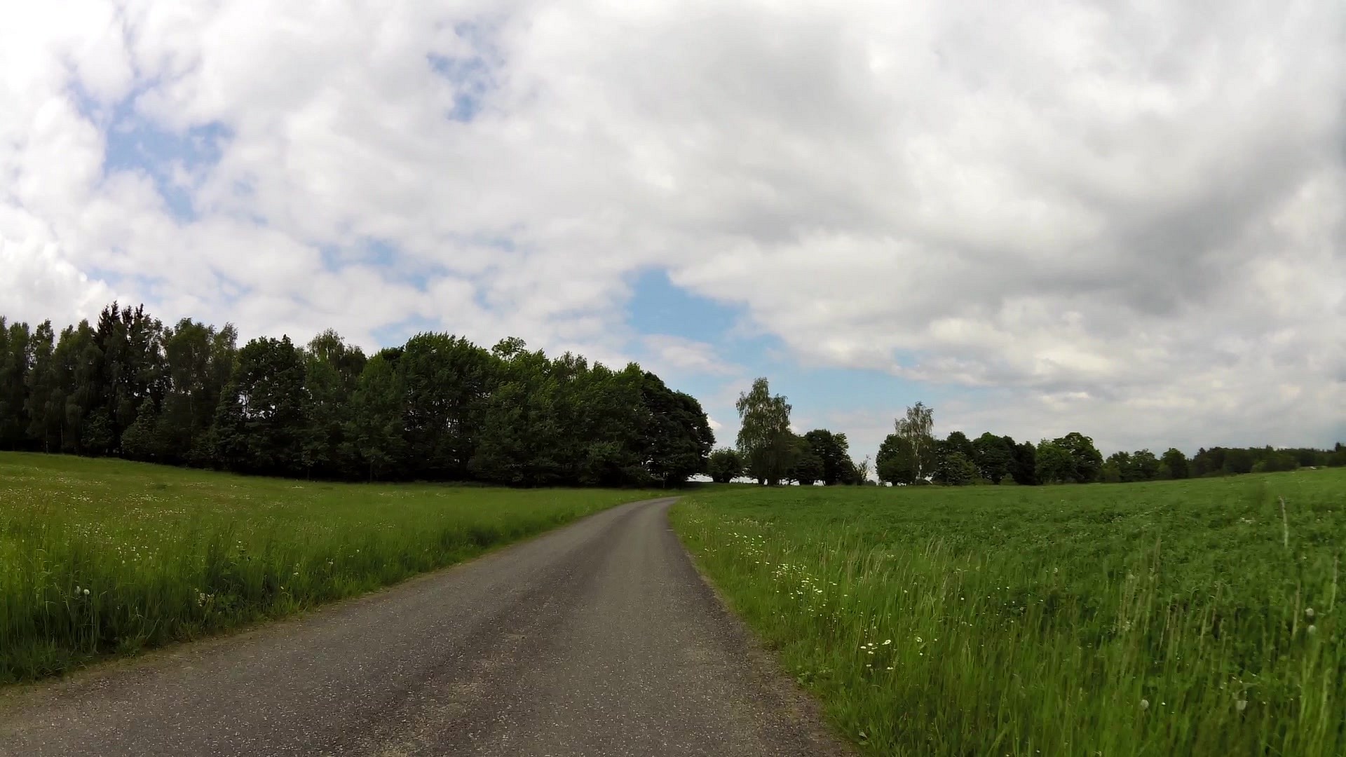
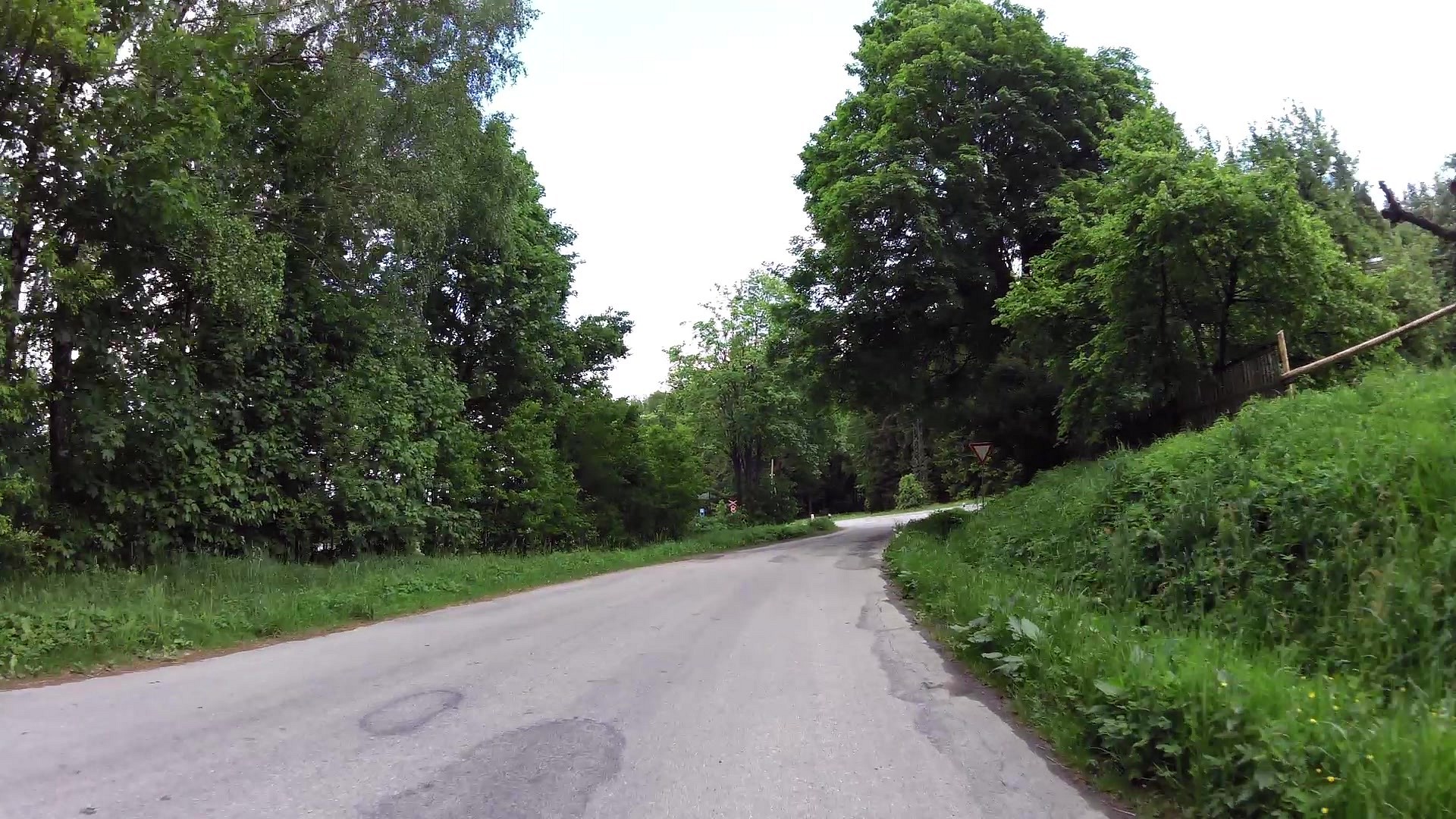
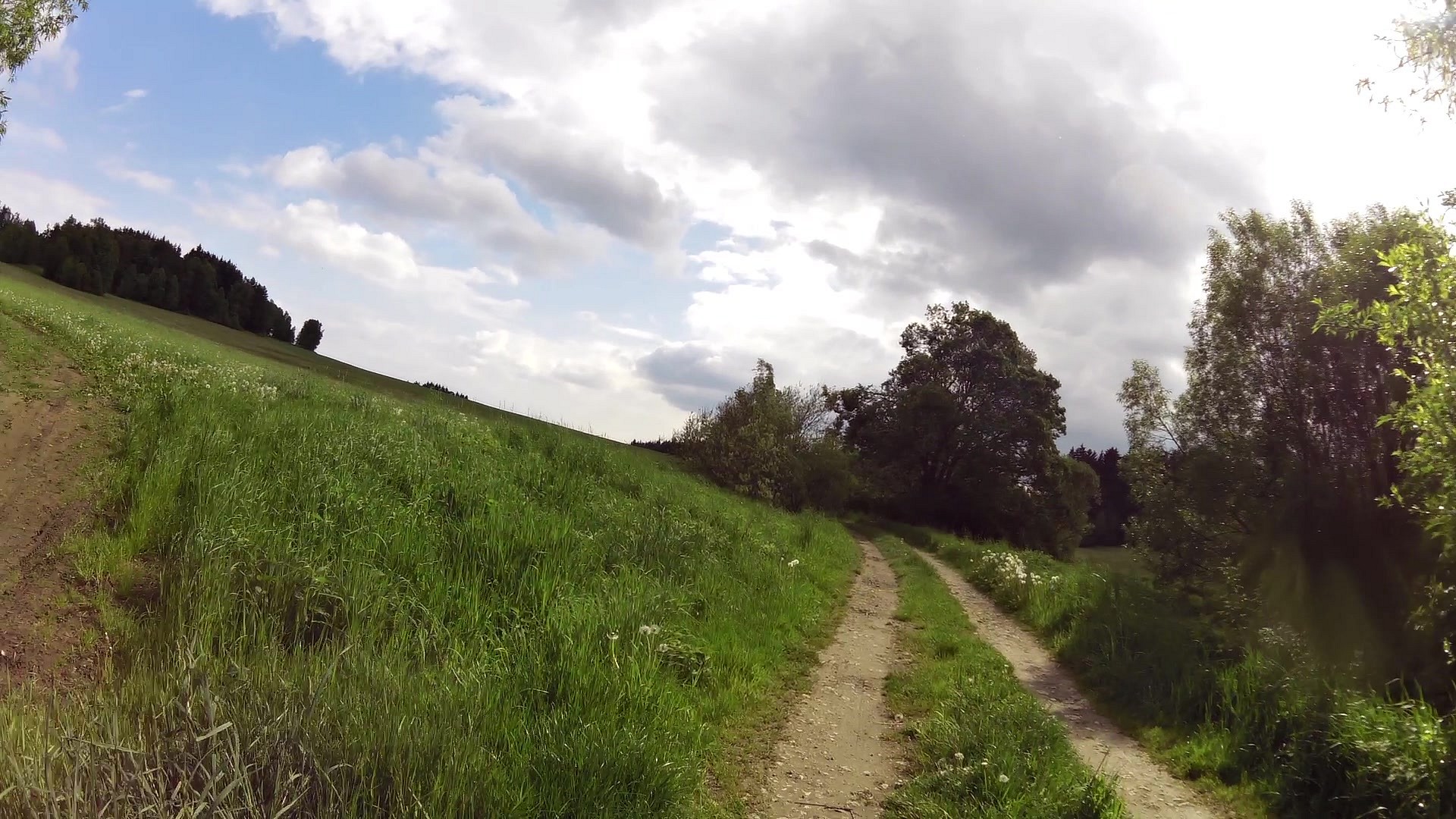
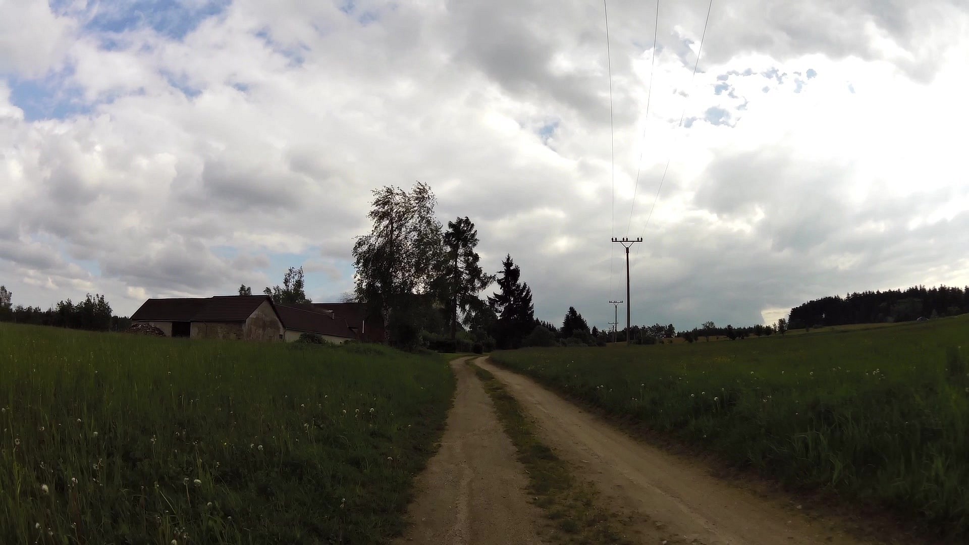
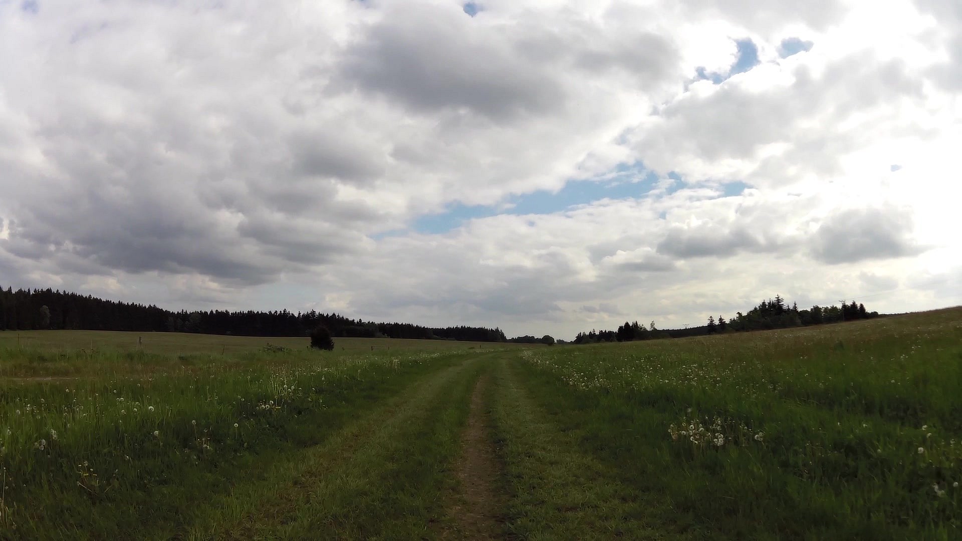
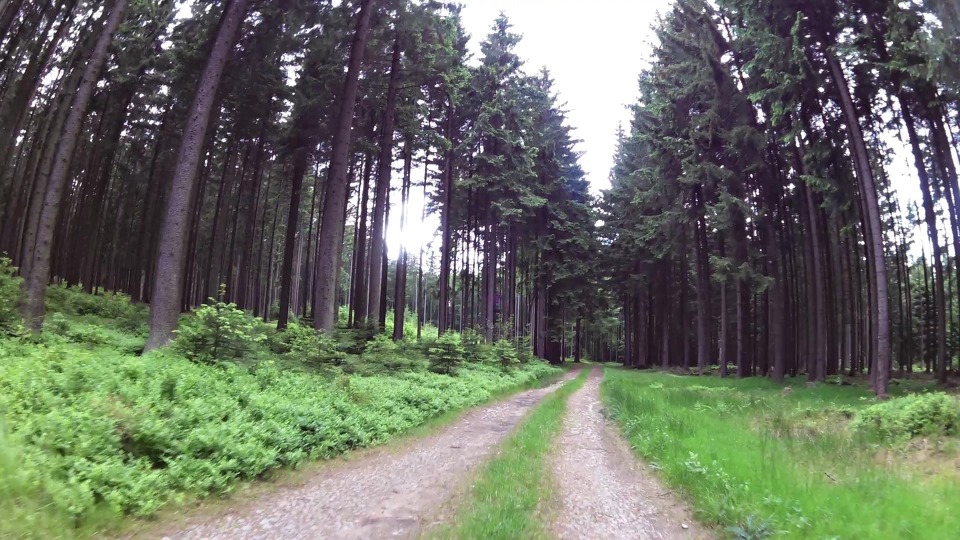
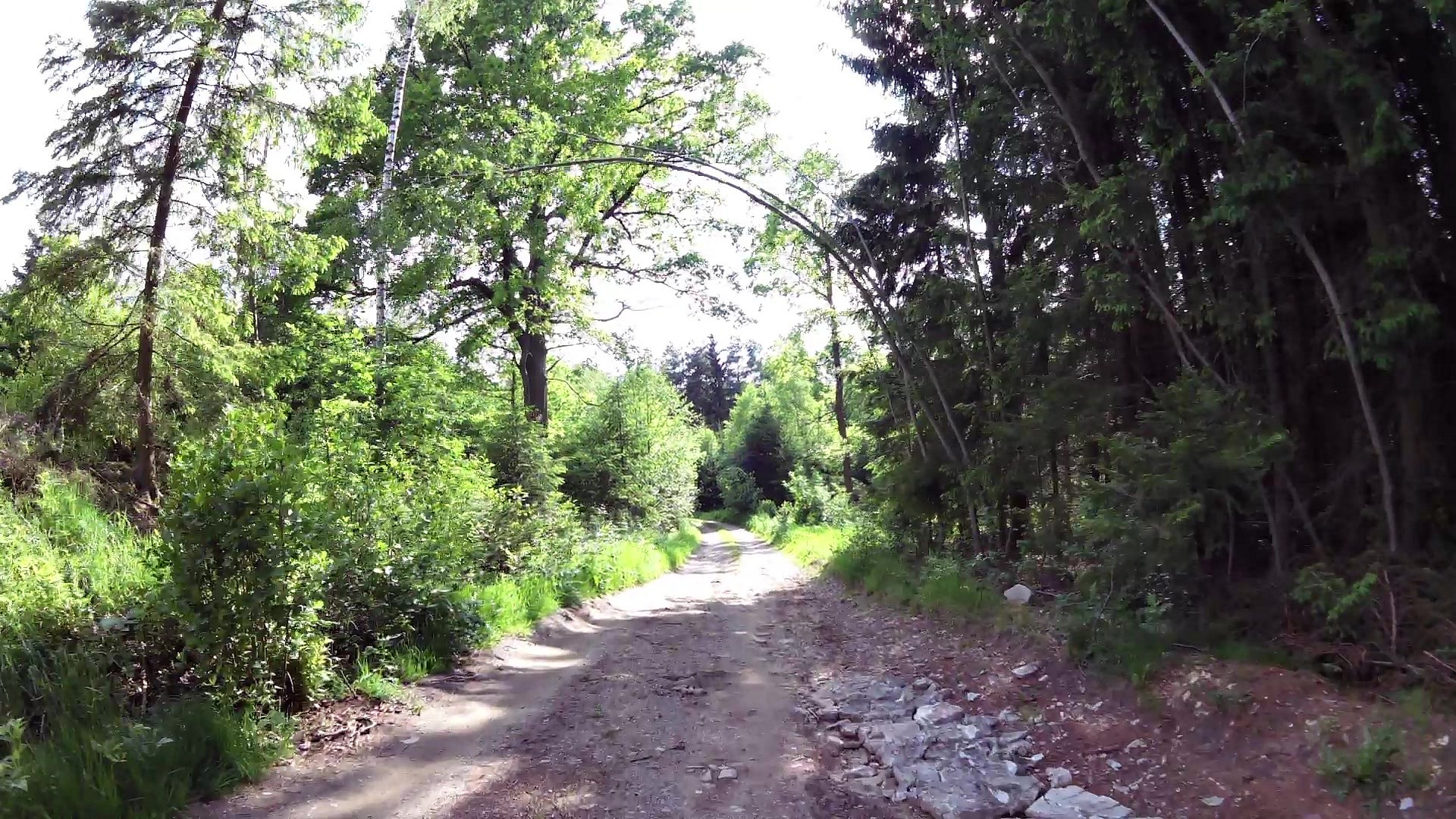
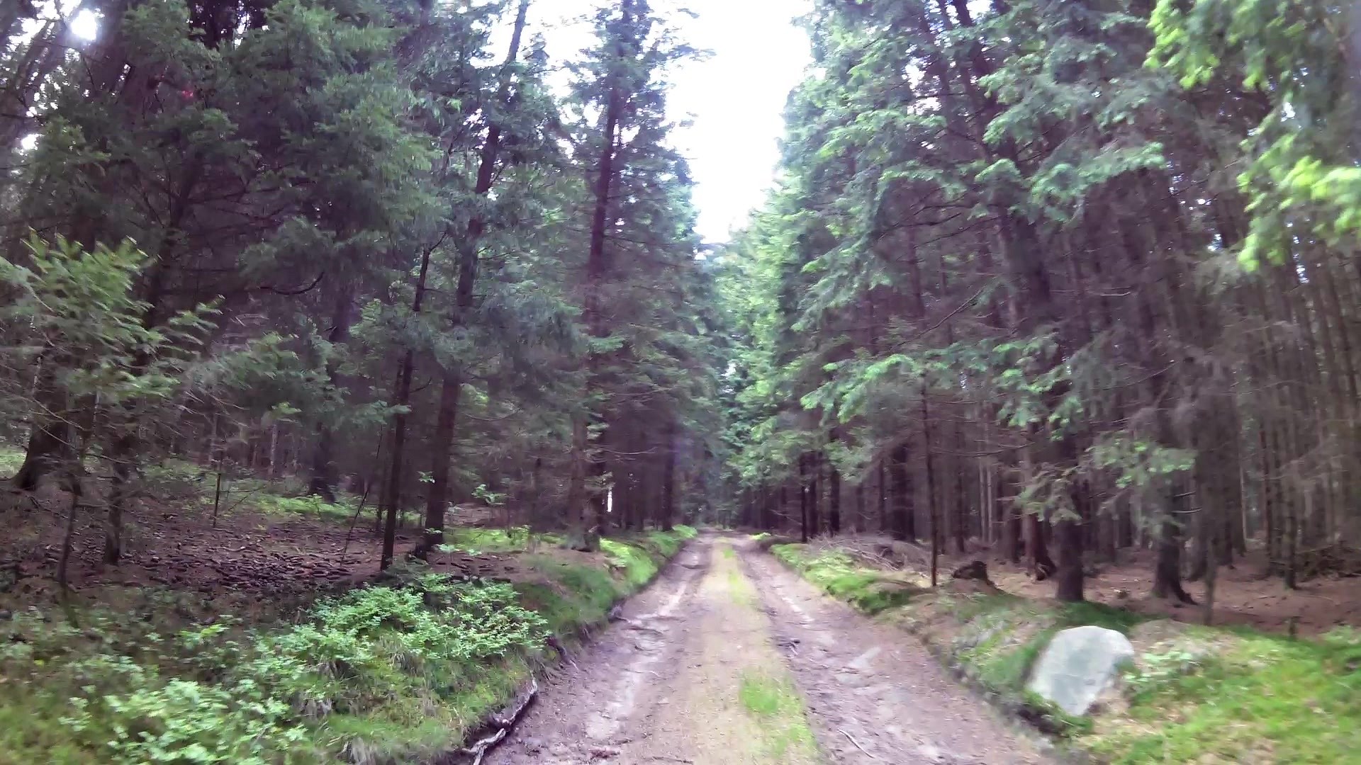
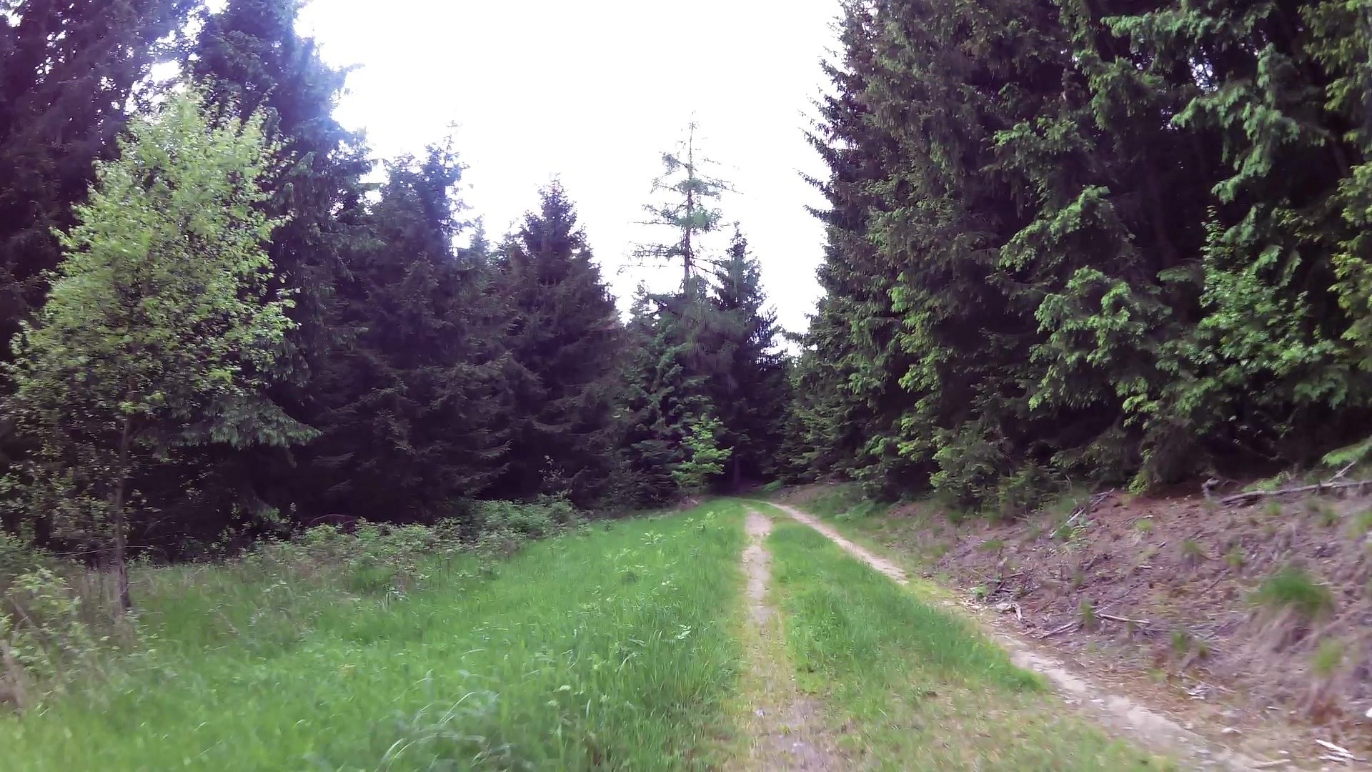
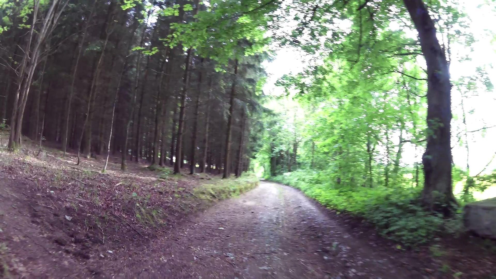
The trail in Nová Bystřice bypasses the town along the ridges of the surrounding hills - along meadows, country lanes, forest. The best features on the trail include the Nature Reserve Blanko, a rock formation Hamerské rocks near Hradiště, The Holy Trinity Church in Klášter and last but not least the narrow gauge track in Jindřichův Hradec - which can be a pleasant change and shortening of the trip.
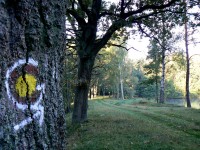
The trail is marked with the letter G.
The marking of the trail:
Popis trasy:
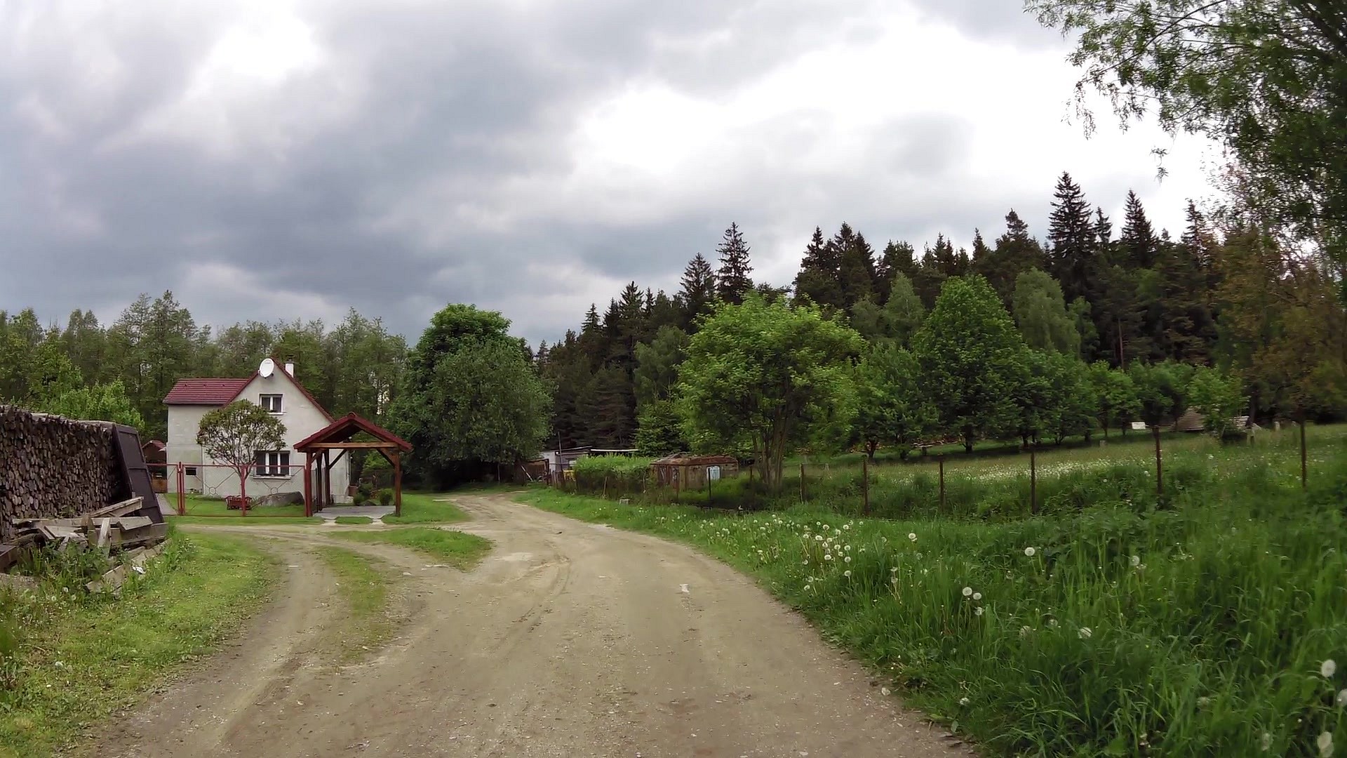
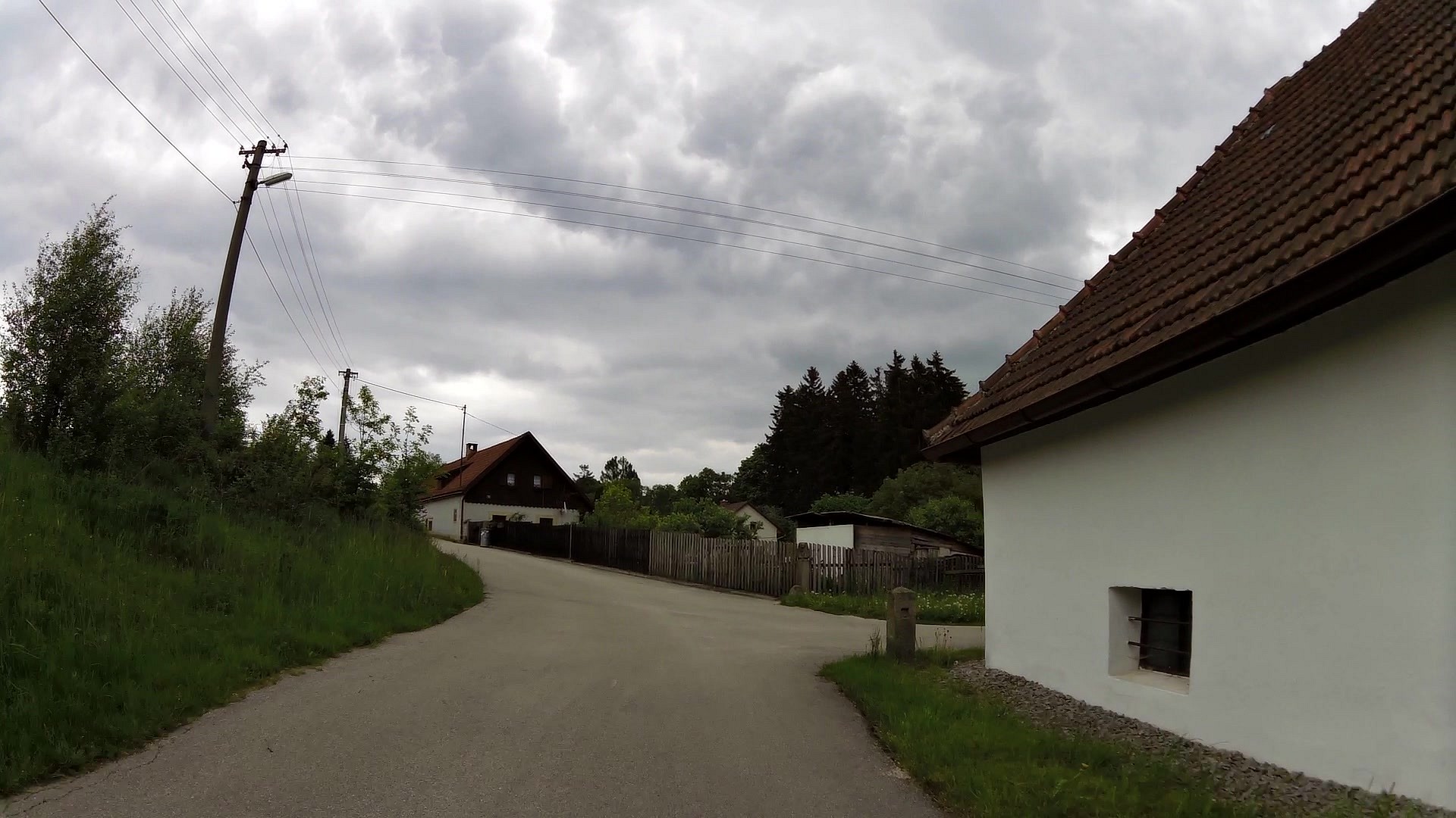
The trail starts at the tourist information center on the square where you can also pick up a free map of the route. From the square it leads to the golf course, around ponds Mnišský and Proudný to Blanko pond, which is a nature reserve. Continue behind the dam, along the road on the right, to the village Smrčná. On the square, across the road, it leads to the left between the houses, around the pond and past the last house among the meadows. Behind the dam of another pond it rises up to the right to Hradiste. Pass the village the trail leads left into the rocks and from there back to the road. Go along the ski slope up to the main road. Across the road, climb up to the bunker and from there to the right down to Ovčárna. Continue left between the gardens, around ponds and left into the forest. Pass the forest, then to the right along the road to Hůrky. In the village turn right to the stop of the narrow-gauge railway. Further on the trail leads to the village of Blato. On the village square turn right by the chapel and around the pond Osika to the village Klášter. Here, around the church, the trail rises up to the right to the nook Mýtinka. In the alley the trail turns right and leads through the woods to the chapel above the village Artoleč. Behind the chapel turn right to the top of a stony hill, over the hill and right to the meadows above Nová Bystřice and then left to the road. Go 1 km along the road to the starting point.
Map to view and print HERE.


![]() Back to the list of videoroutes
Back to the list of videoroutes


")


