like:
type:
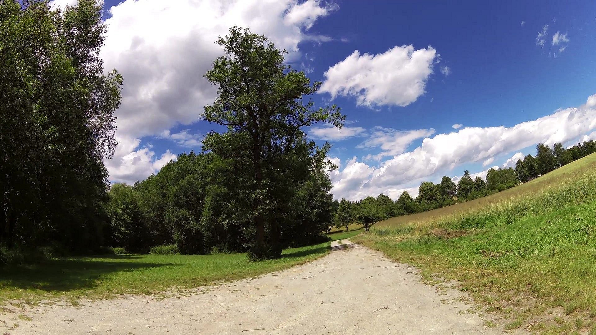
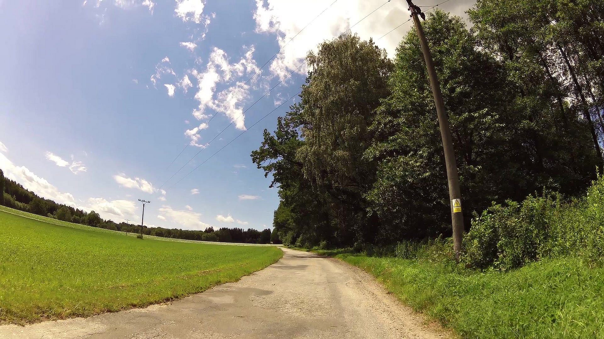
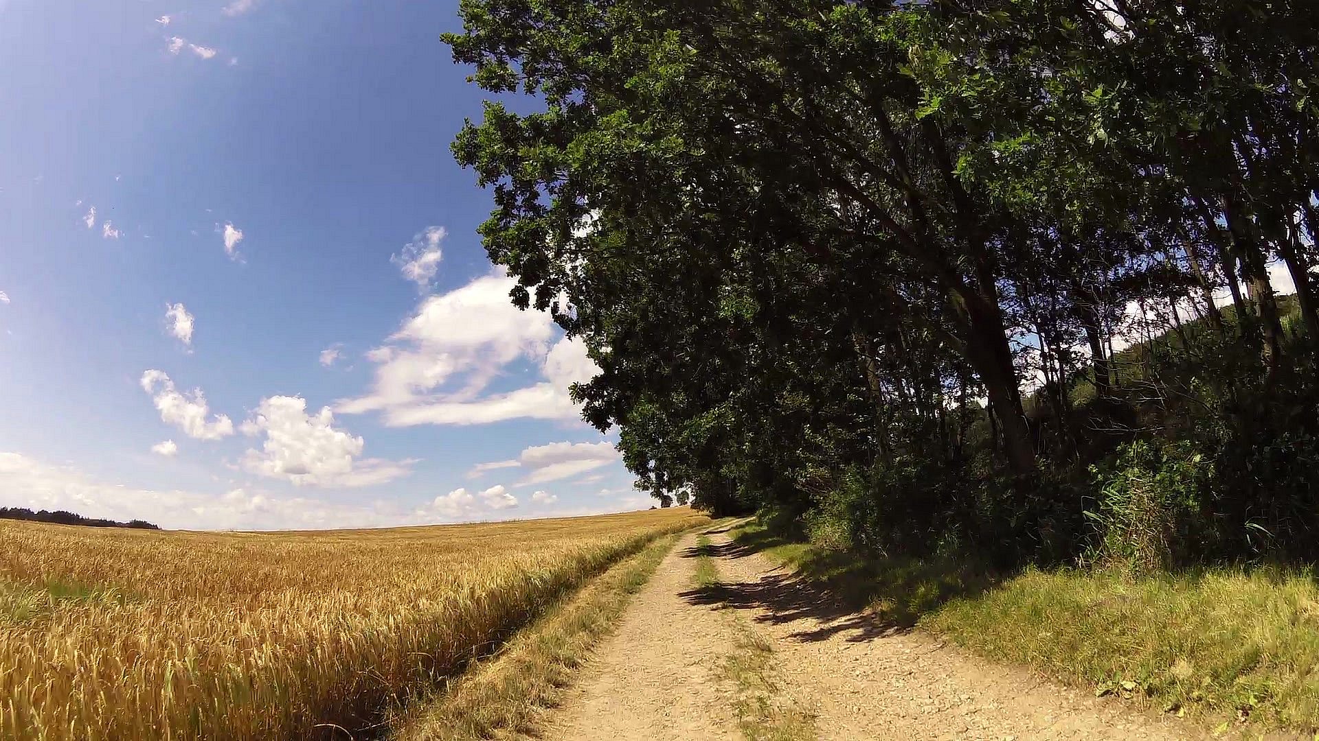
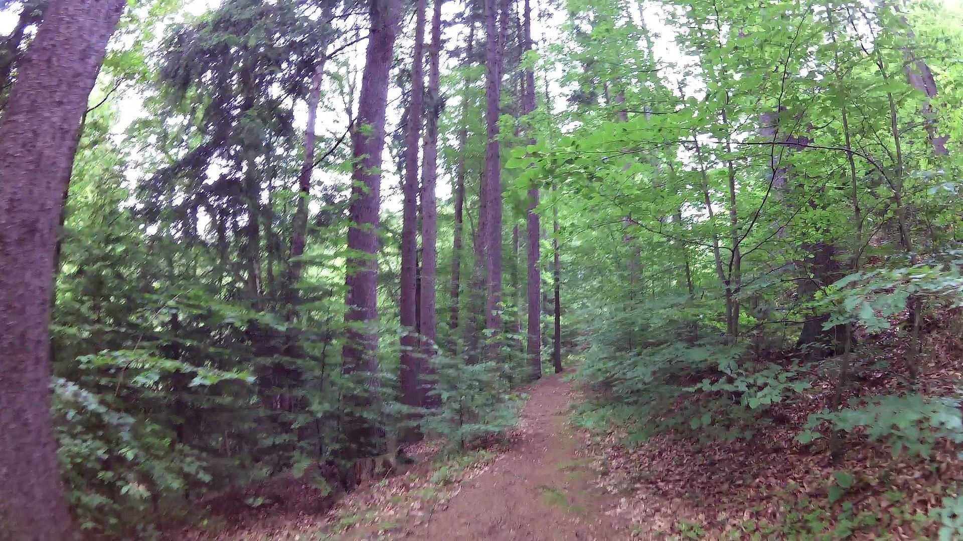
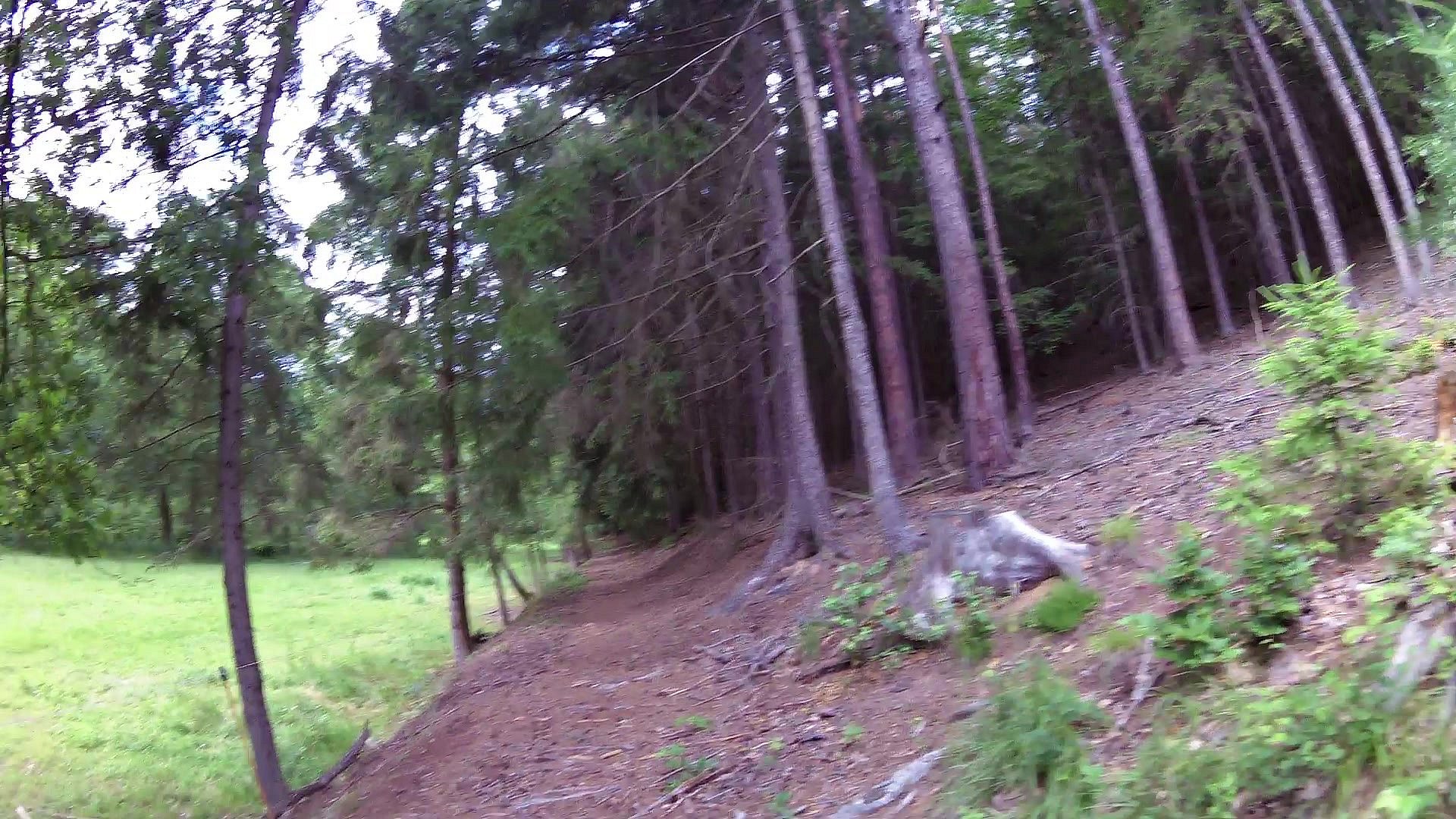
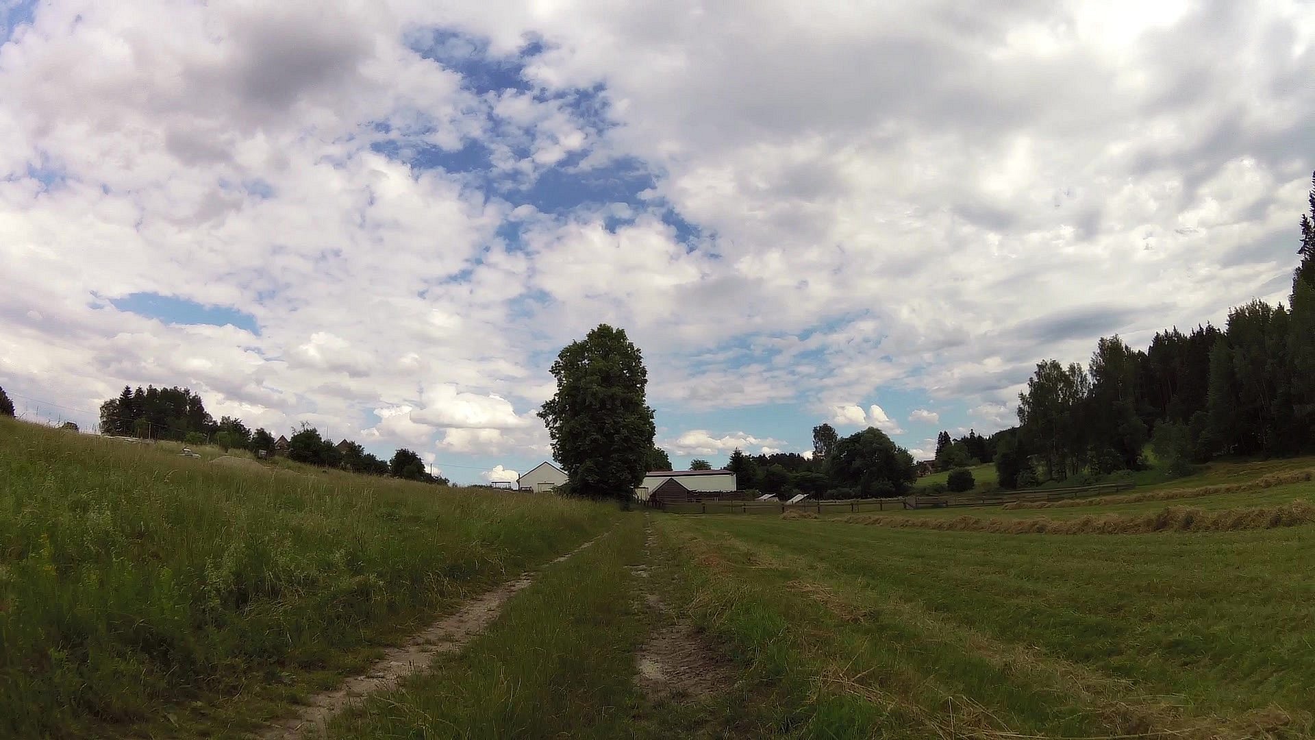
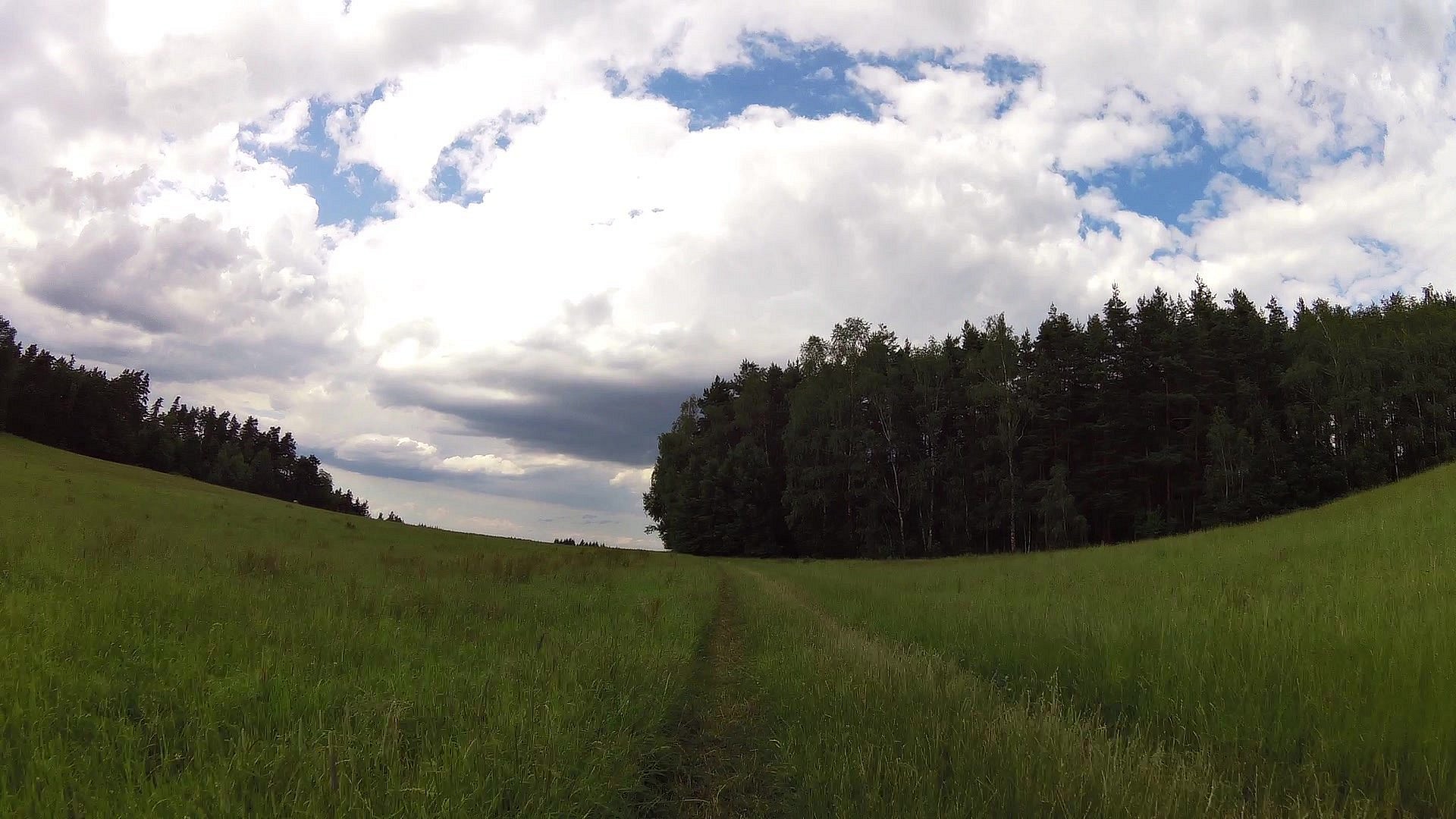
Walking tour
difficulty:
Intermediate
length:
32.79km
total elevation:
626.90m
total descent:
624.40m
navigation:

| 0.00km from start |
32.79km to finish |
m elevation |
0m total elevation |
0m total descent |
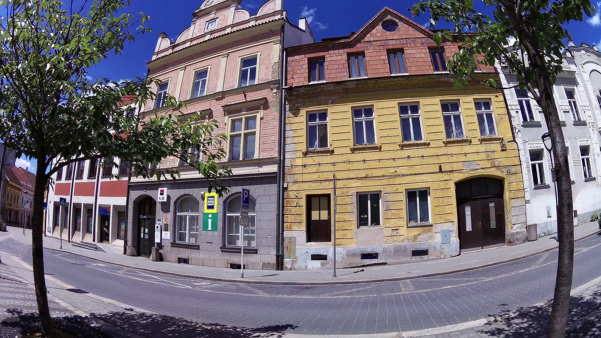
| Culture and information center Trhové Sviny | map | video | |
| Bušek's Hammer Mill | map | video | |
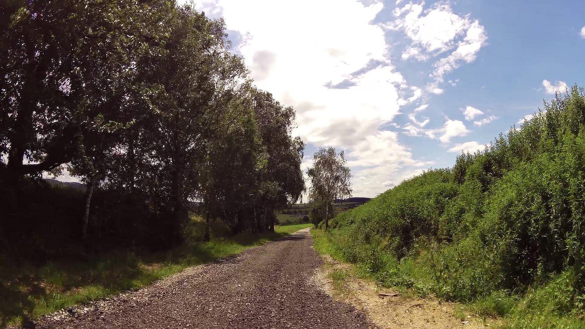
| map | video | ||
| map | video | ||
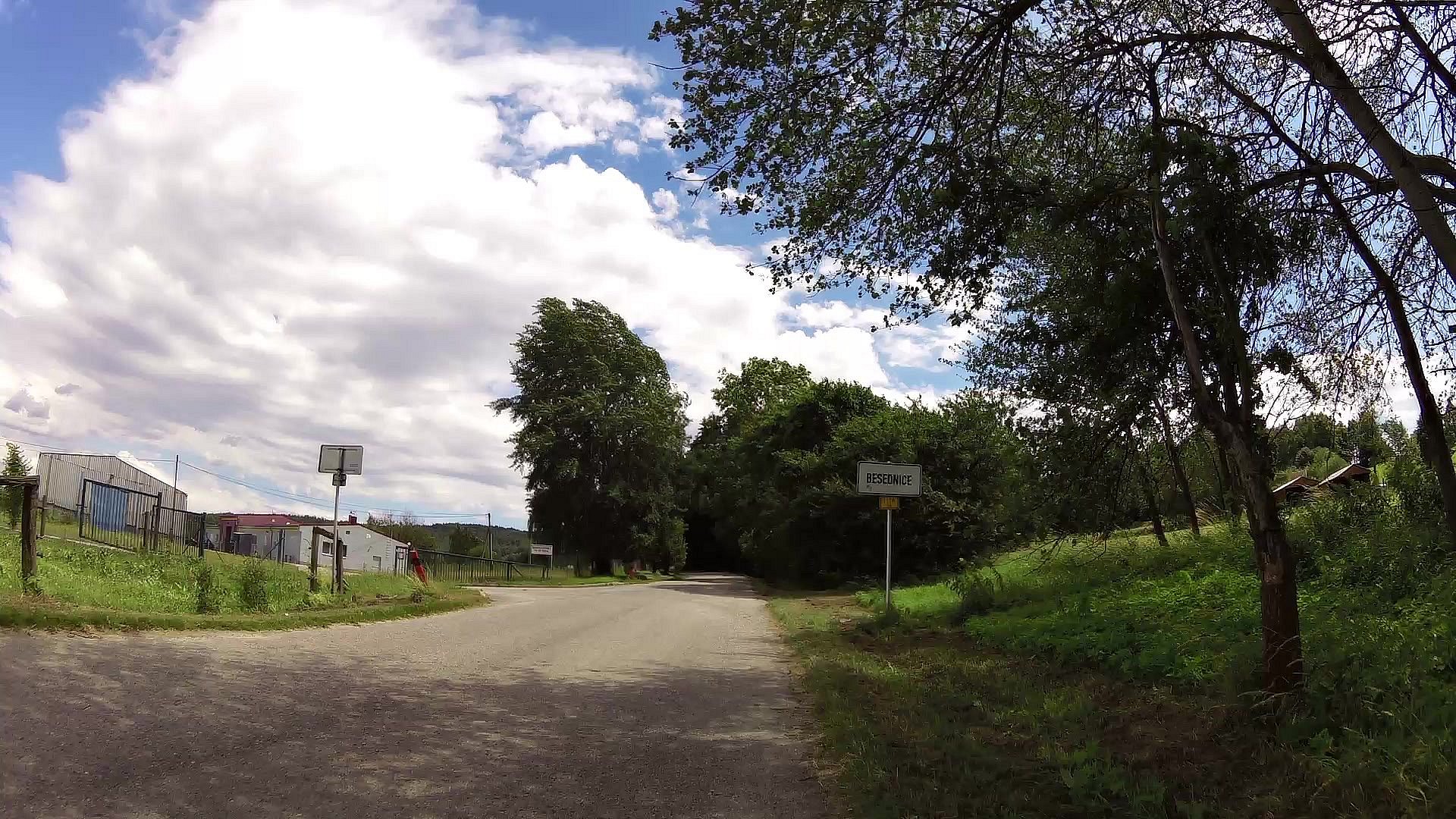
| Besednice (skanzen) | map | video | |
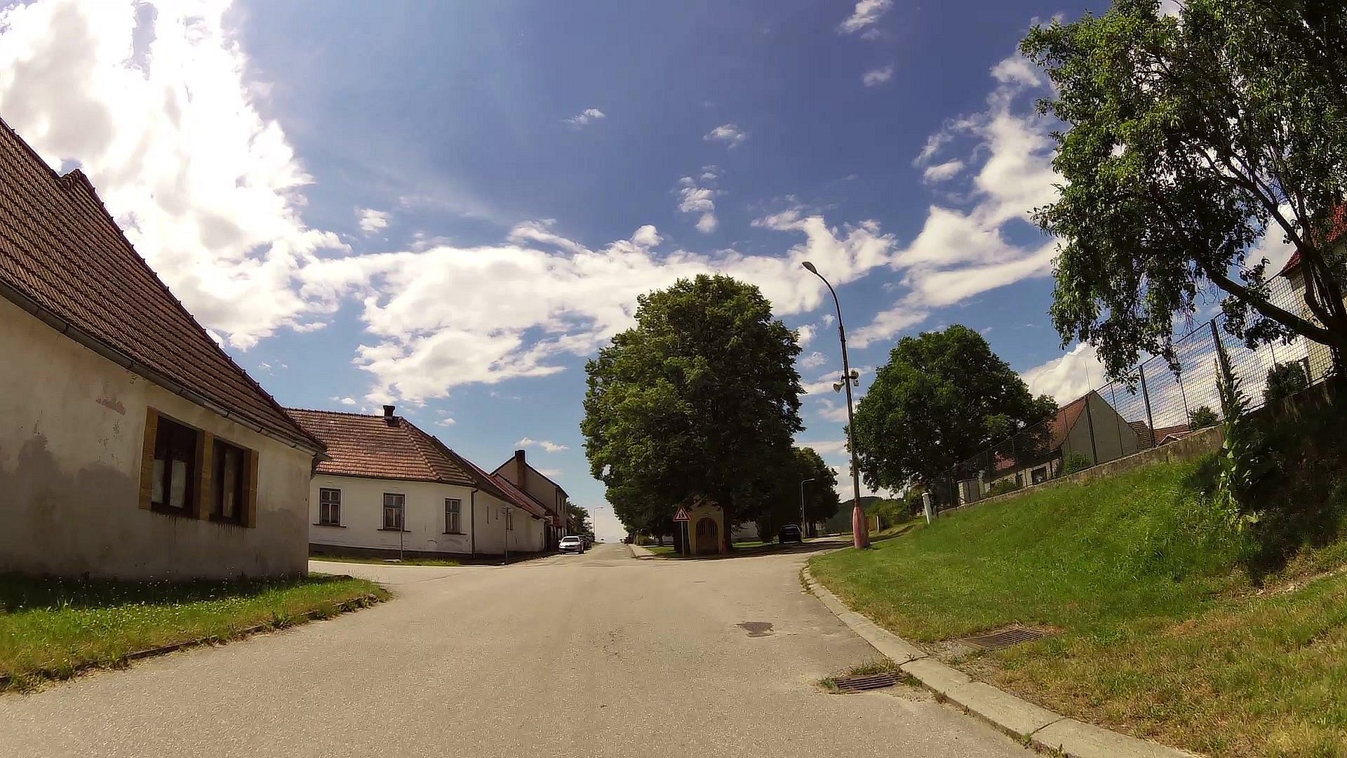
| map | video | ||
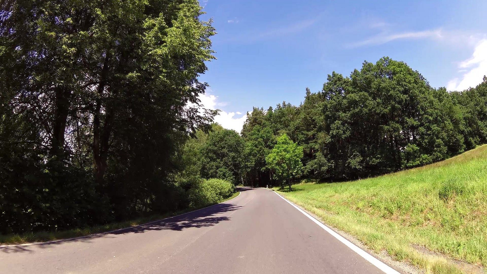
| Dobrkov Calvary | map | video | |
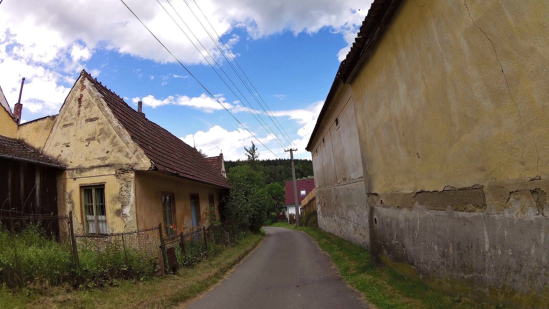
| Slavče (village) | map | video | |
| A chapel with healing water | map | video | |
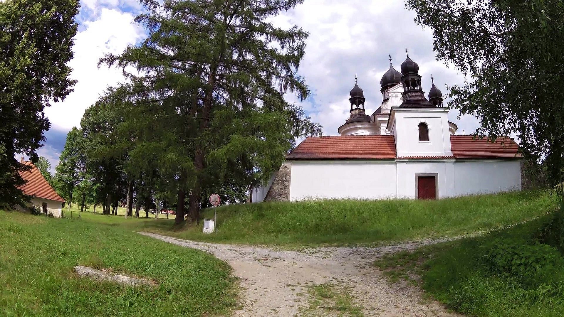
| Holy Trinity Church | map | video | |
| The Holy-Trinitarian way | map | video | |
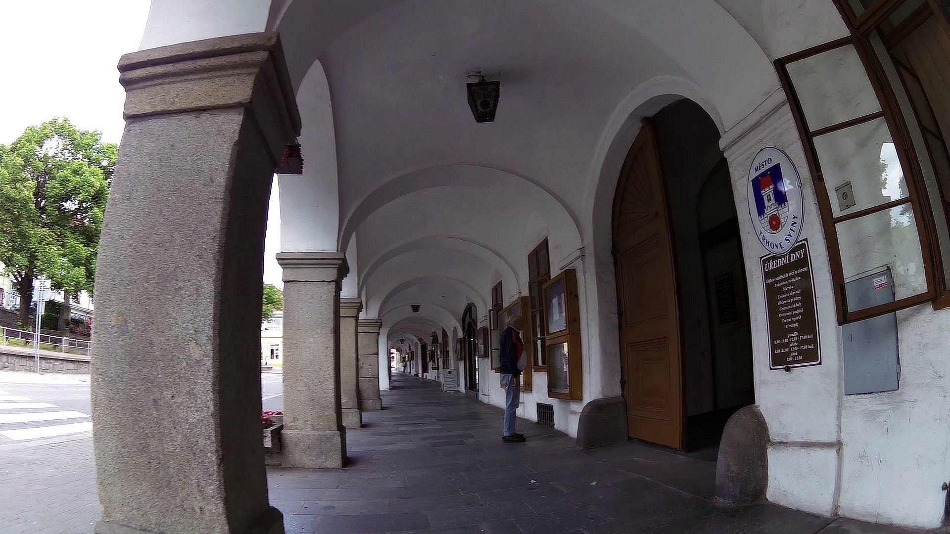
| Town hall | map | video | |
| The square in Trhové Sviny | map | video |


![]() Back to the list of videoroutes
Back to the list of videoroutes


")


