like:
type:
Cycling
difficulty:
Intermediate
length:
51.70km
total elevation:
926.20m
total descent:
925.00m
navigation:

| 0.00km from start |
51.70km to finish |
m elevation |
0m total elevation |
0m total descent |
| Museum in Aš | map | video | |
| Lookout tower Háj by Aš | map | video | |
| Mineral spring in Dolní paseky | map | video | |
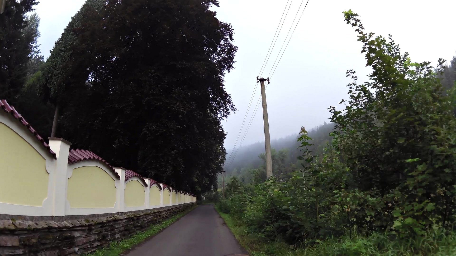
| Castle ruins Neuberg in Podhradí | map | video | |
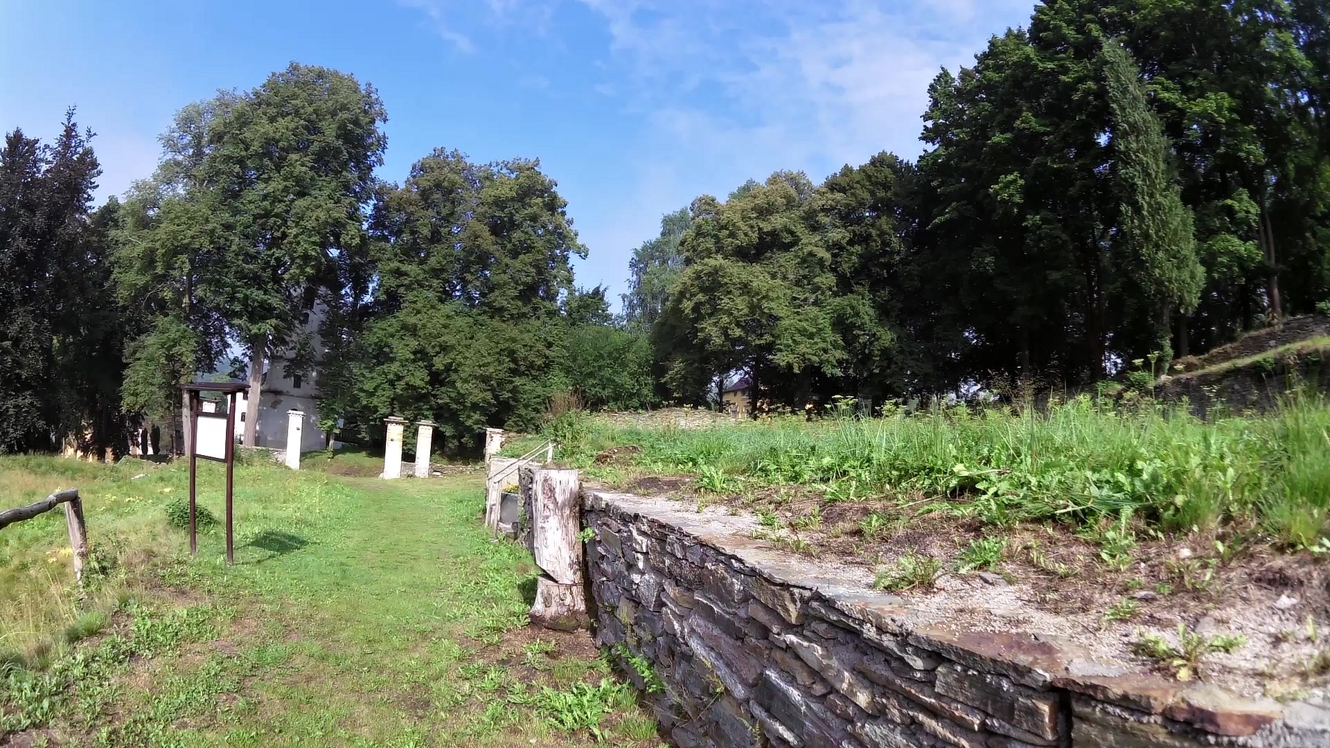
| Historically protected torso Papírny in Doubrava | map | video | |
| Bad Elster | map | video | |
| Trojmezí (three countries border) Saxony, Bavaria, Czech | map | video | |
| Bridge of Europe - Bridge of Friendship | map | video | |
| The most western point of the Czech Republic | map | video | |
| Information center Aš | map | video |


![]() Back to the list of videoroutes
Back to the list of videoroutes


