like:
type:
Cycling
difficulty:
Easy
length:
20.98km
total elevation:
338.60m
total descent:
340.50m
navigation:

| 0.00km from start |
20.98km to finish |
m elevation |
0m total elevation |
0m total descent |
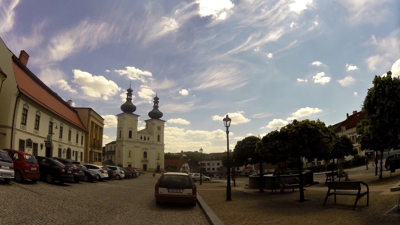
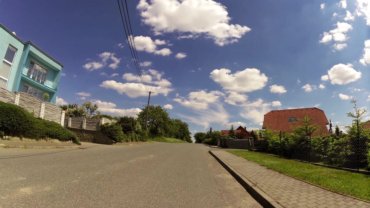
| Tourist information center Bystřice nad Perštejnem | map | video | |
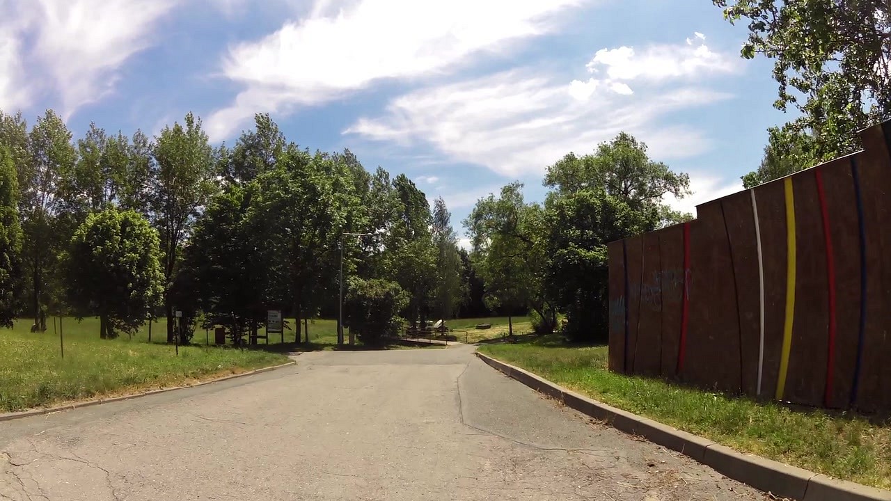
| Sports and Culture Area | map | video | |
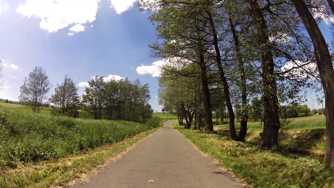
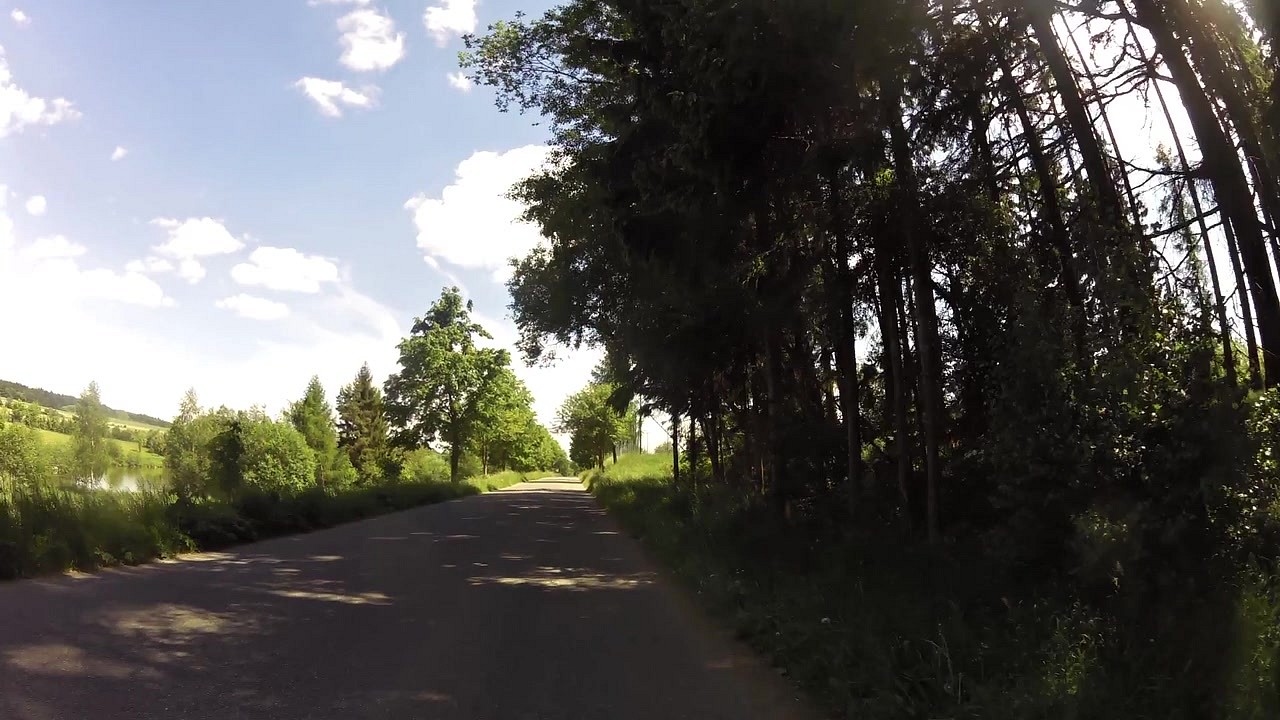
| Pond Domanínský | map | video | |
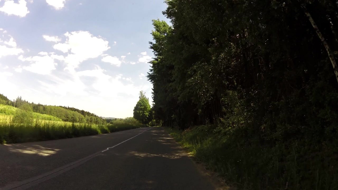
| Pond Skalský | map | video | |
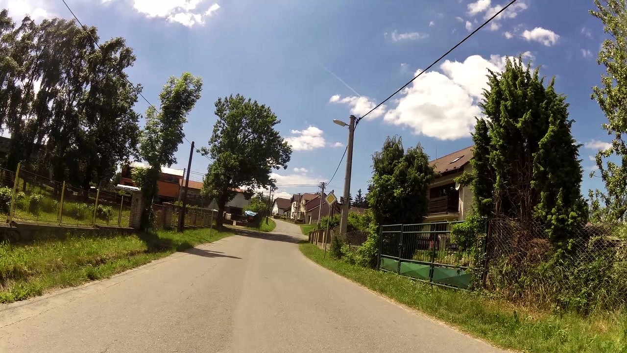
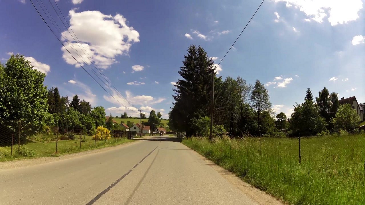
| Bohuňov (village) | map | video | |
| Borovinka - sports and recreation center | map | video | |
| Bystřice nad Pernštejnem | map | video |


![]() Back to the list of videoroutes
Back to the list of videoroutes


")

