like:
type:
Cycling
difficulty:
Intermediate
length:
42.51km
total elevation:
744.50m
total descent:
744.10m
navigation:

| 0.00km from start |
42.51km to finish |
m elevation |
0m total elevation |
0m total descent |
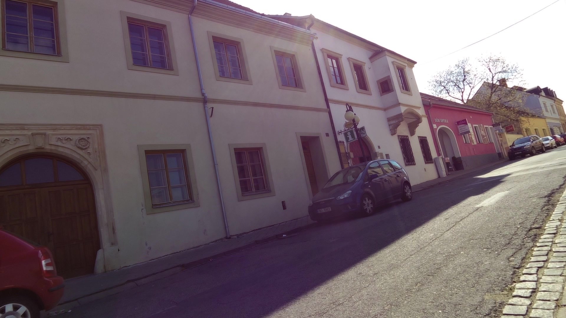
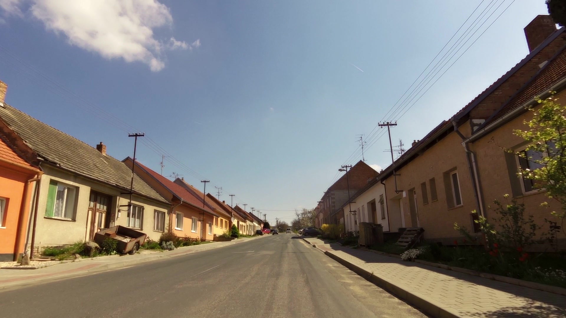
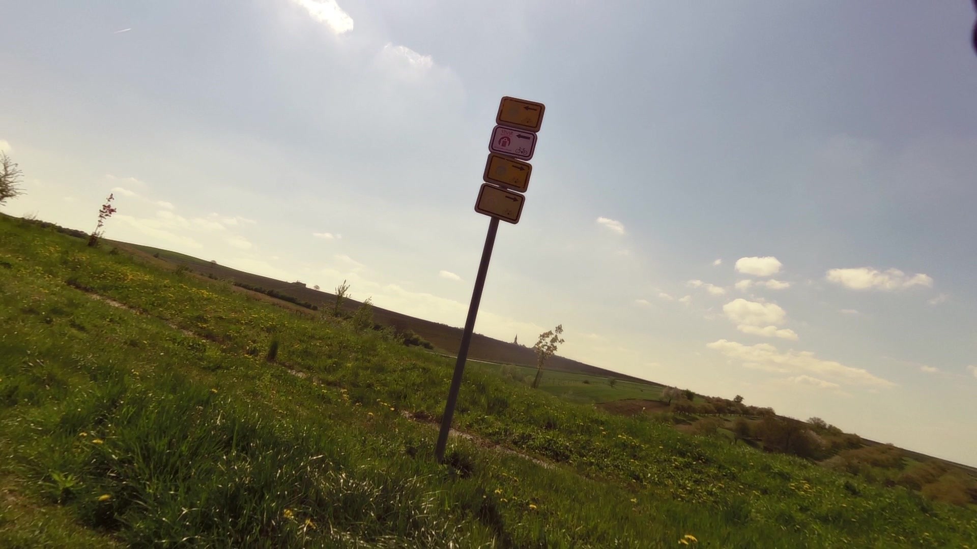
| The house U Synků | map | video | |
| Almond lookout near Hustopeče | map | video | |
| Kurdějov - fortified church of St. John the Baptist | map | video | |
| Horni Bojanovice - an outdoor swimming pool | map | video | |
| An outdoor swimming pool - Němčičky | map | video | |
| Bořetice observation tower above Kraví Hora | map | video | |
| Museum Kobylí | map | video | |
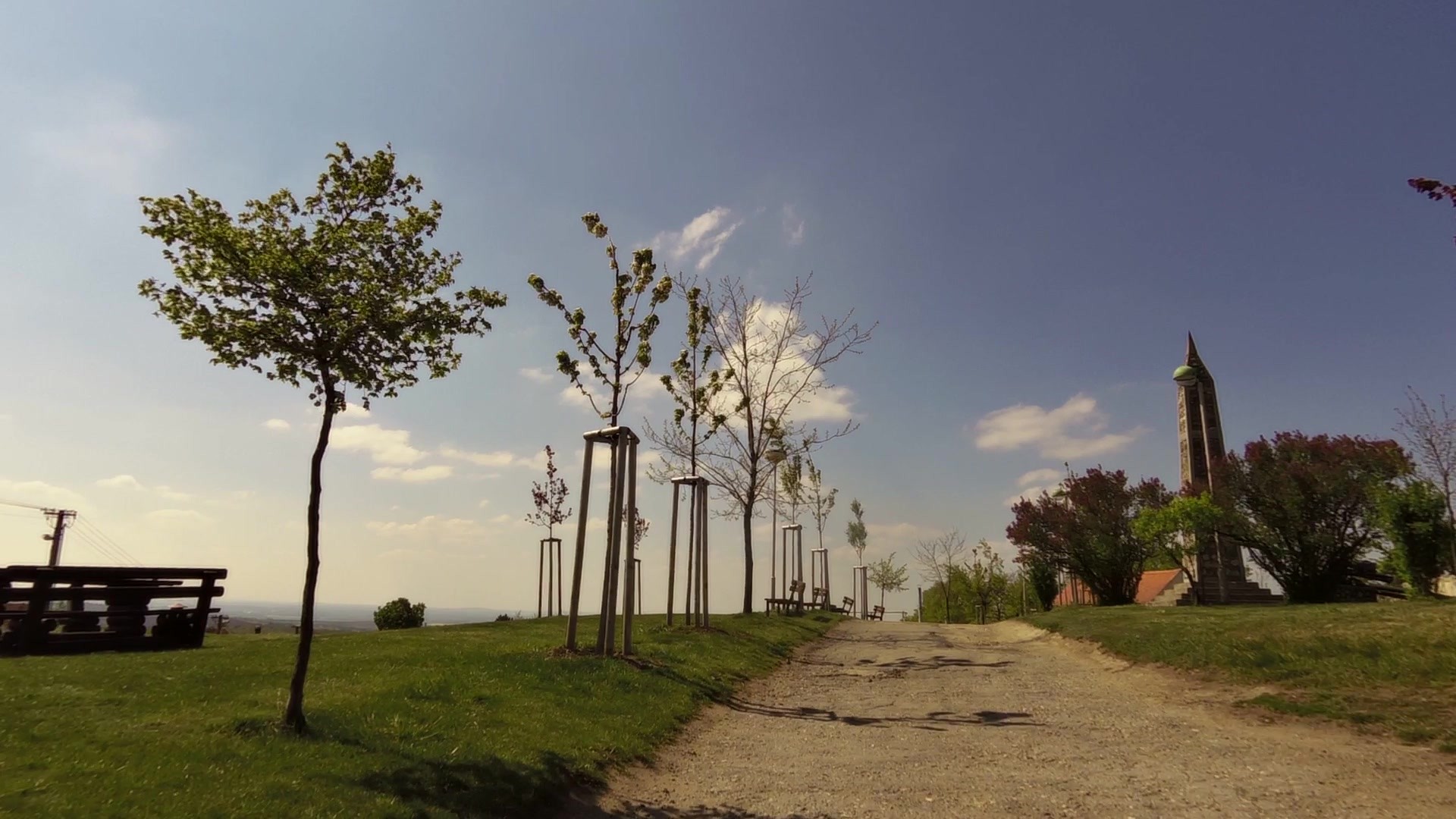
| Peace Memorial and a cannon | map | video | |
| Unique cellars of Vrbice | map | video | |
| Bořetice | map | video | |
| A lookout tower Slunečná | map | video | |
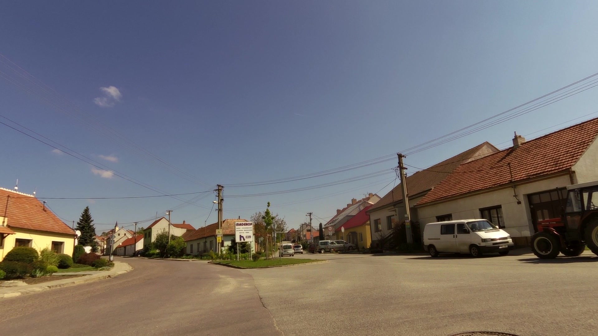
| IC - Velké Pavlovice | map | video | |
| The lookout tower U obrázku | map | video | |
| Starovičky - Russian tank T34 | map | video | |
| Hustopeče - Aquapark | map | video |
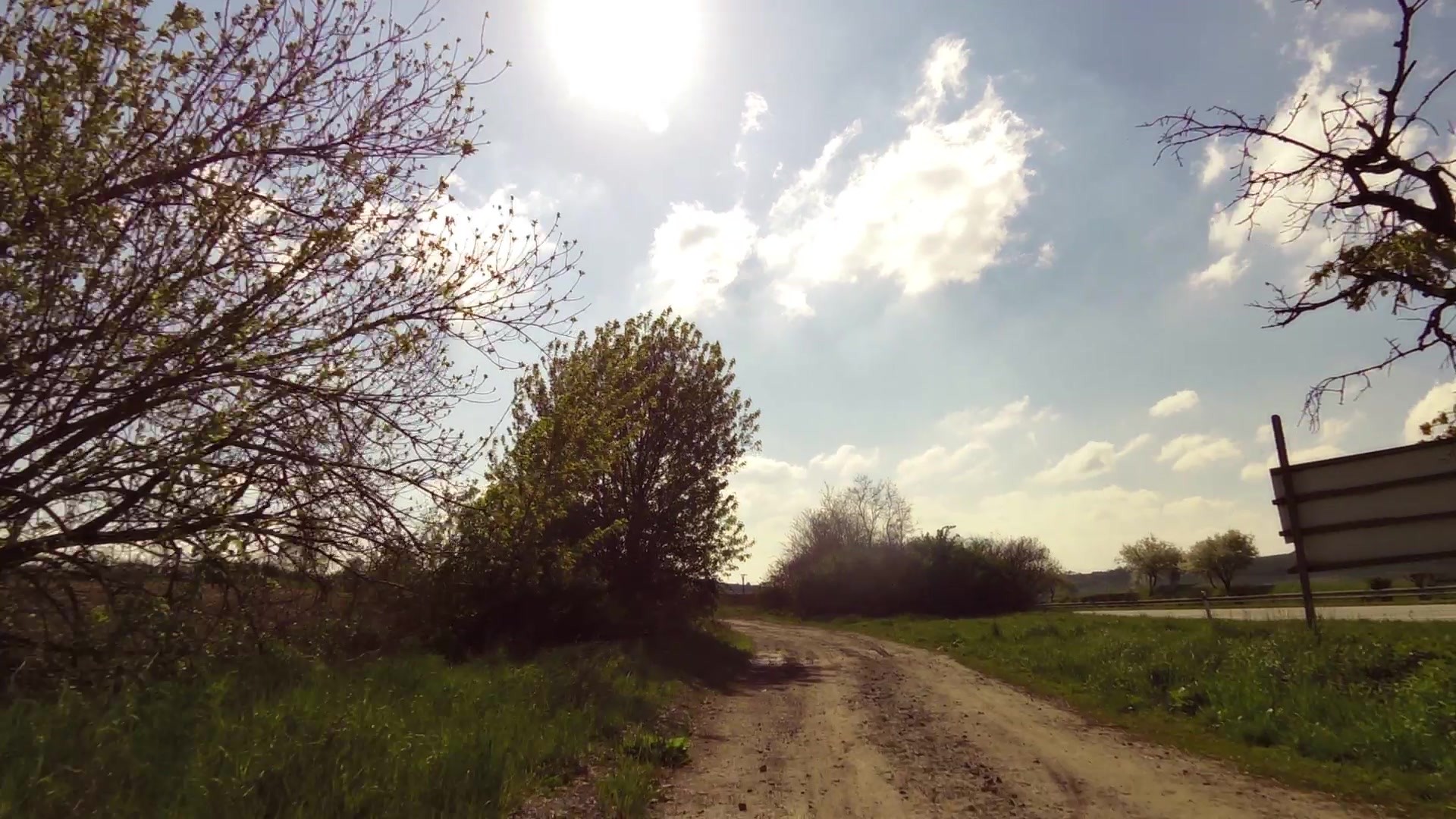
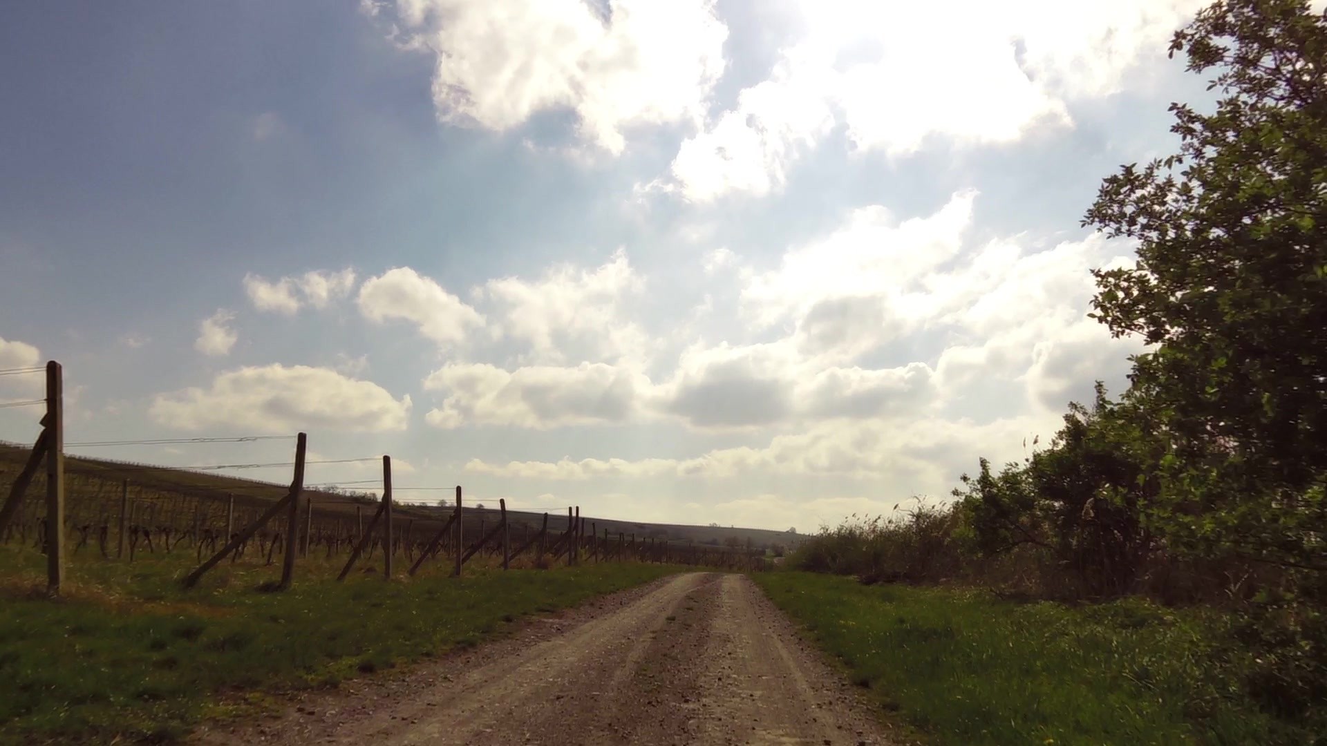
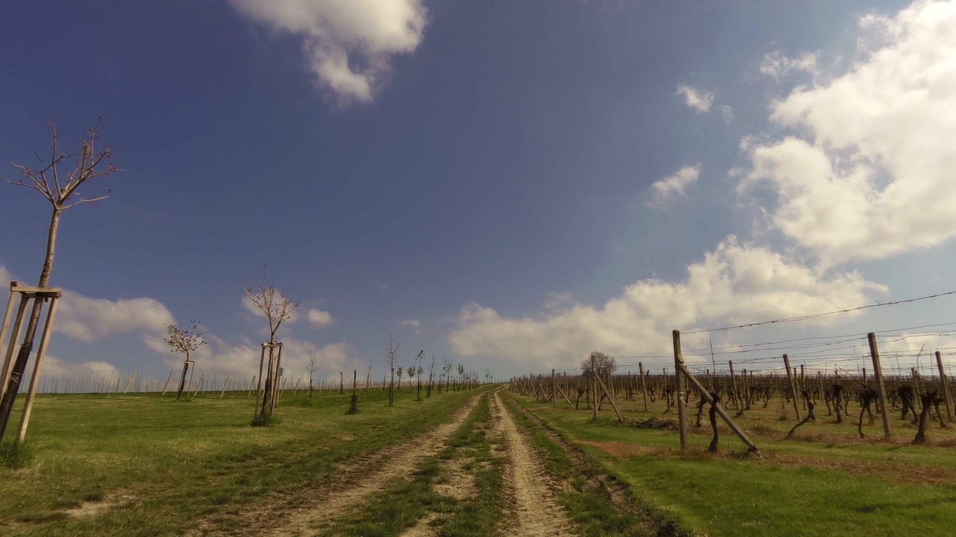
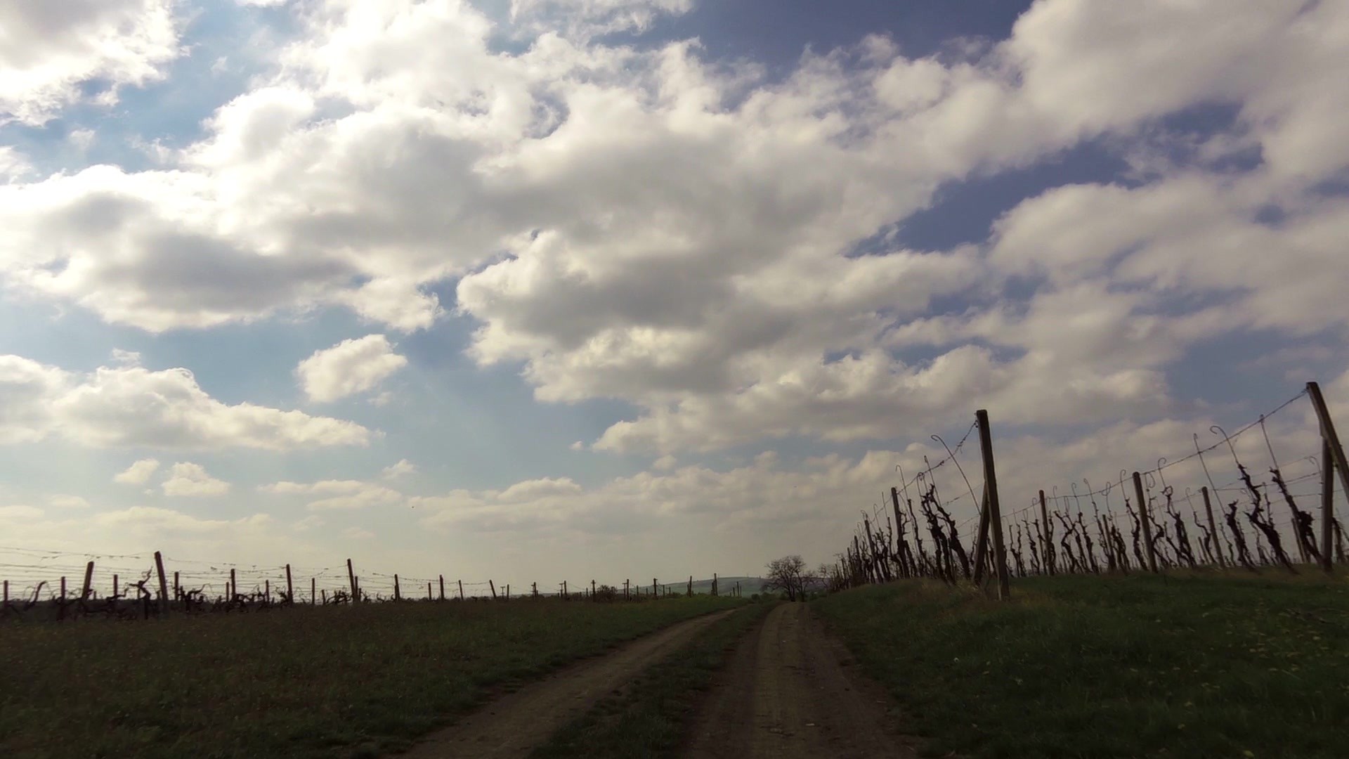
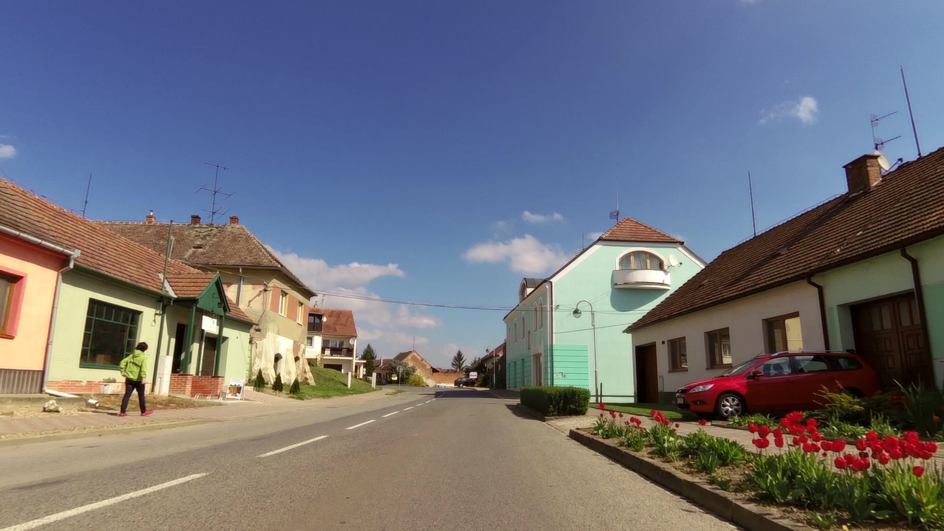
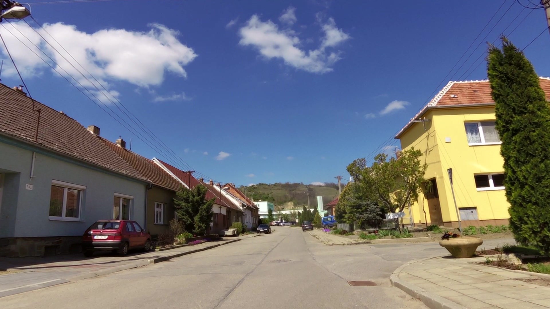
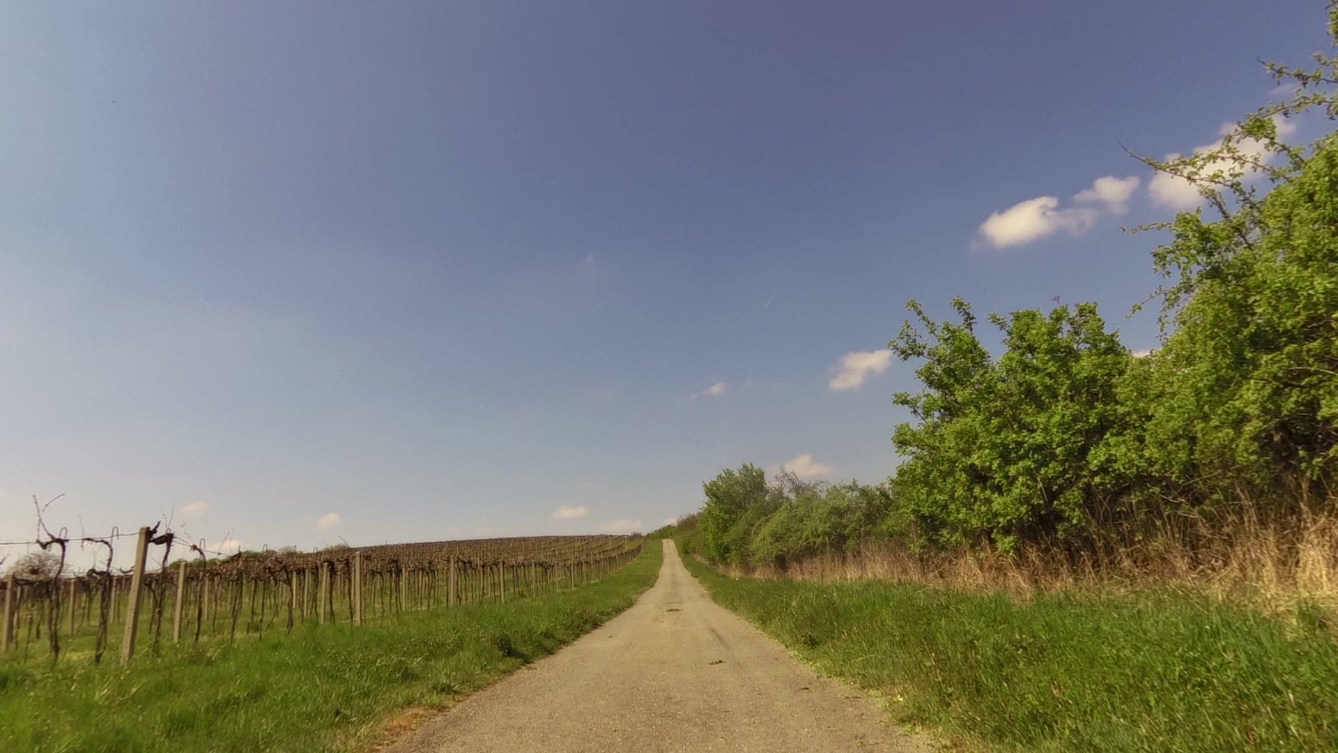
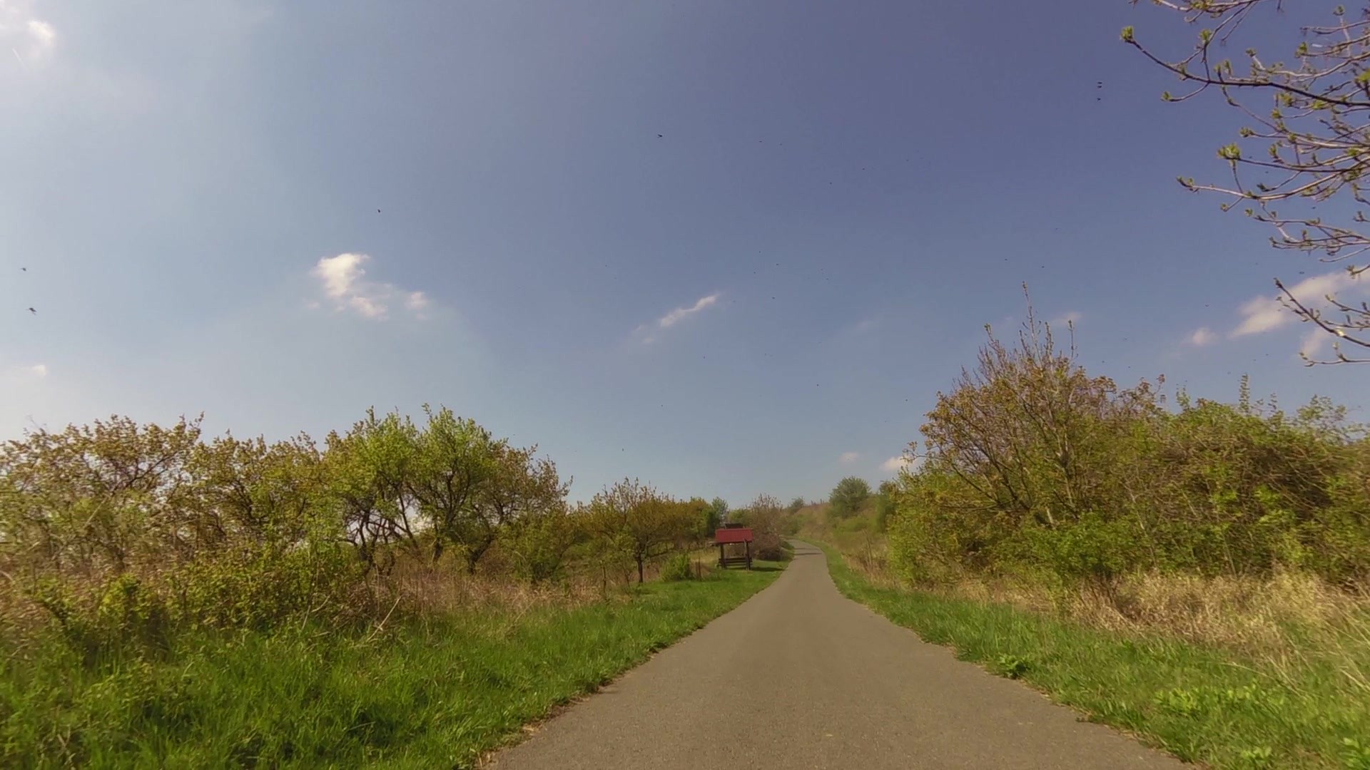
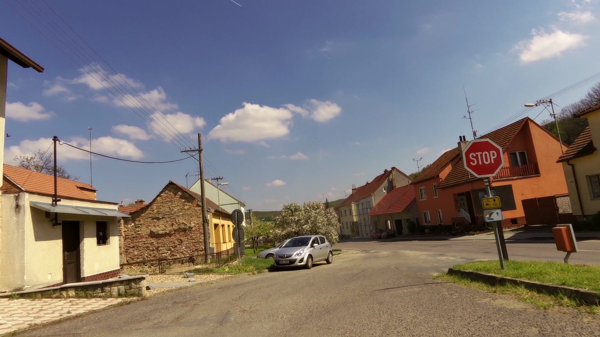
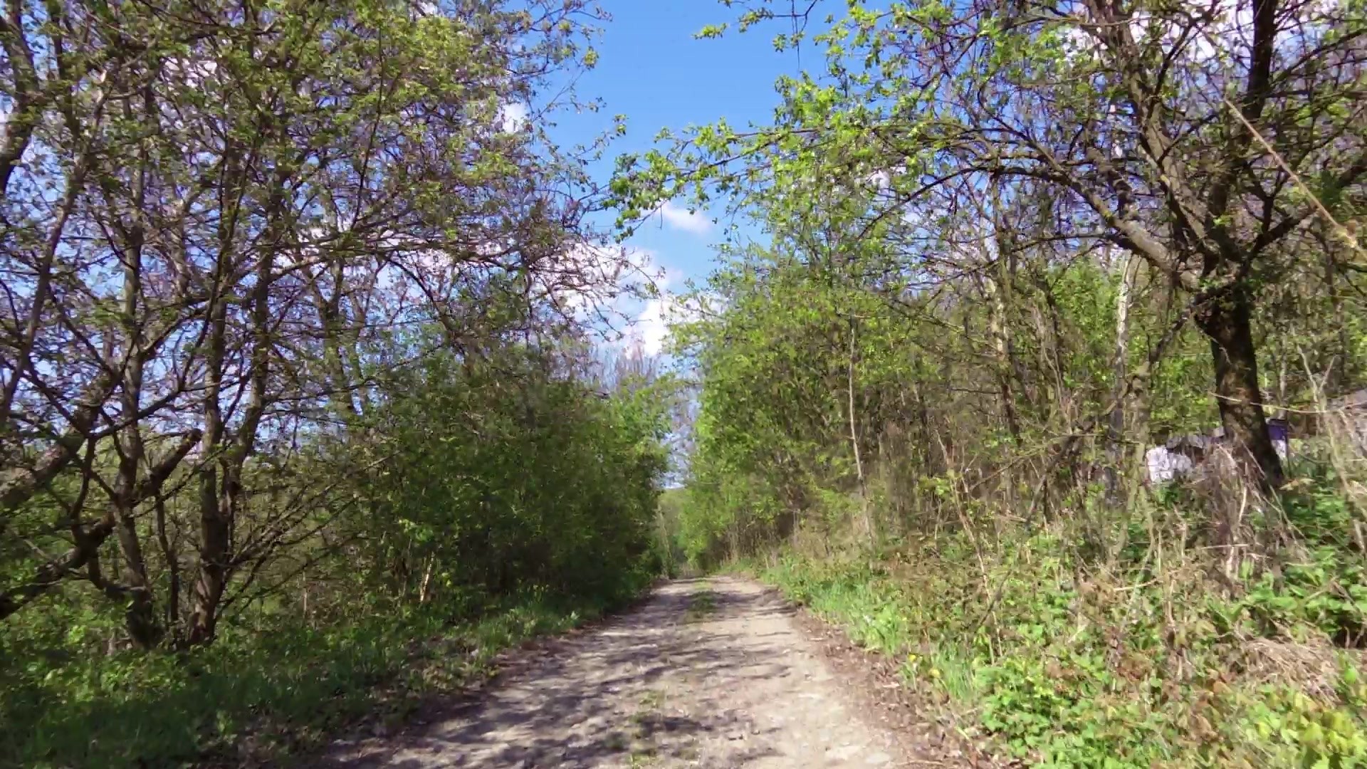
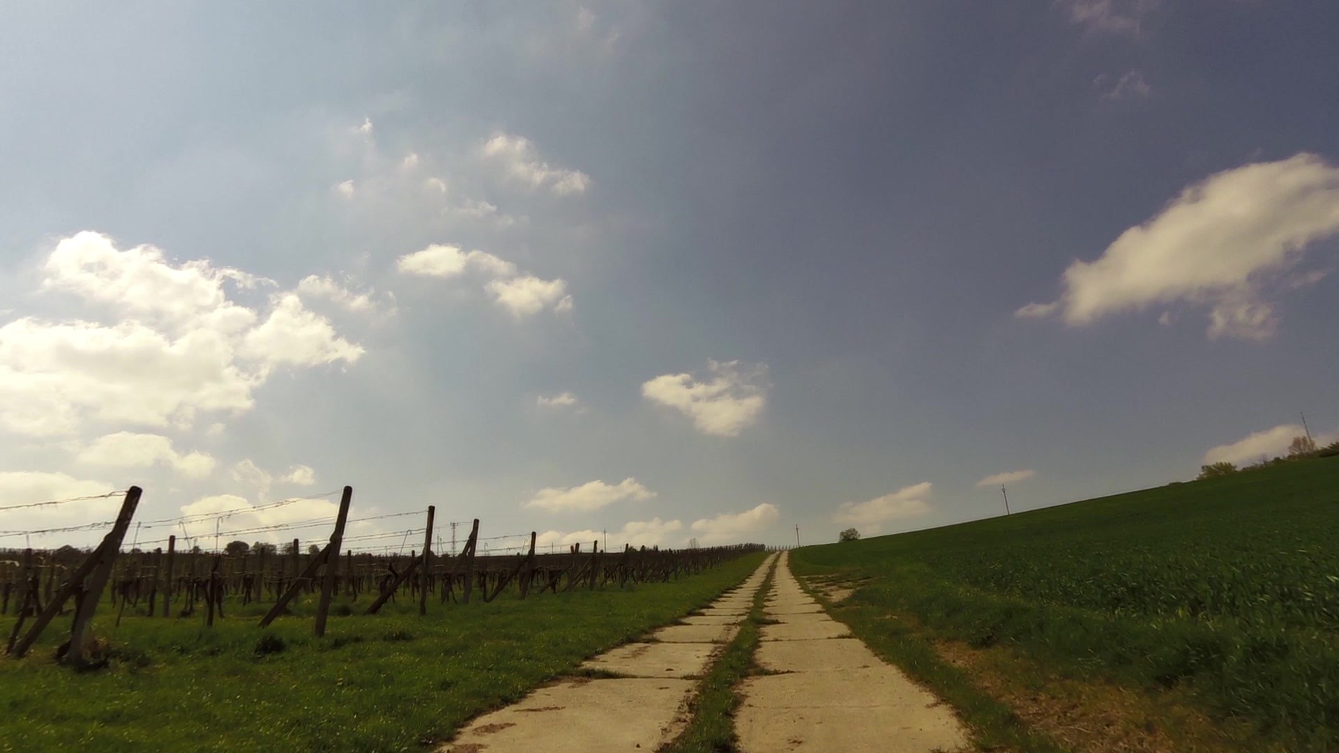
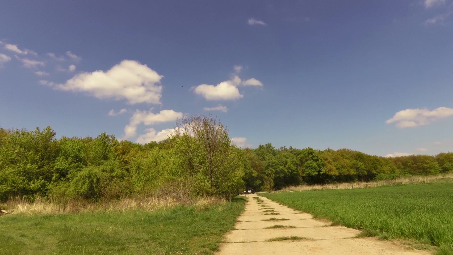
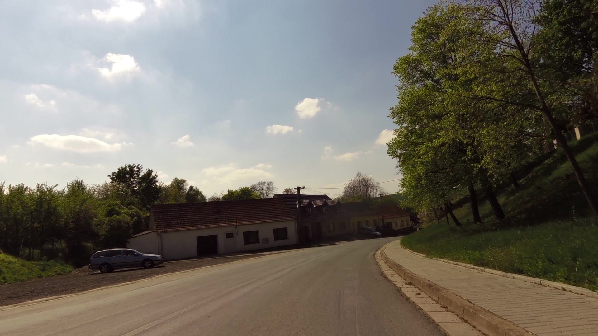
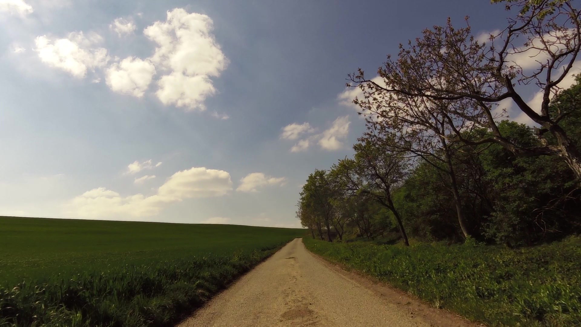
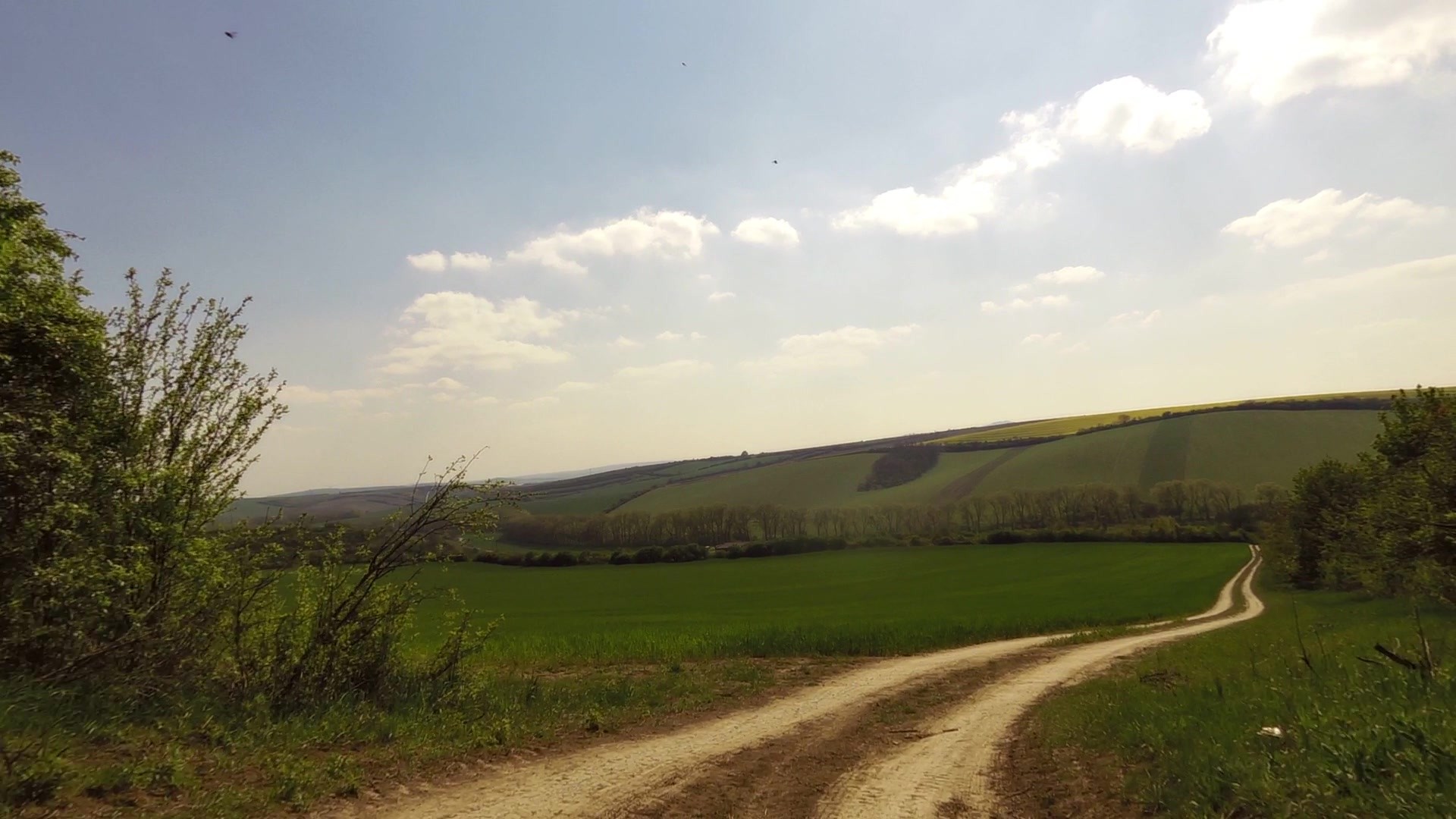
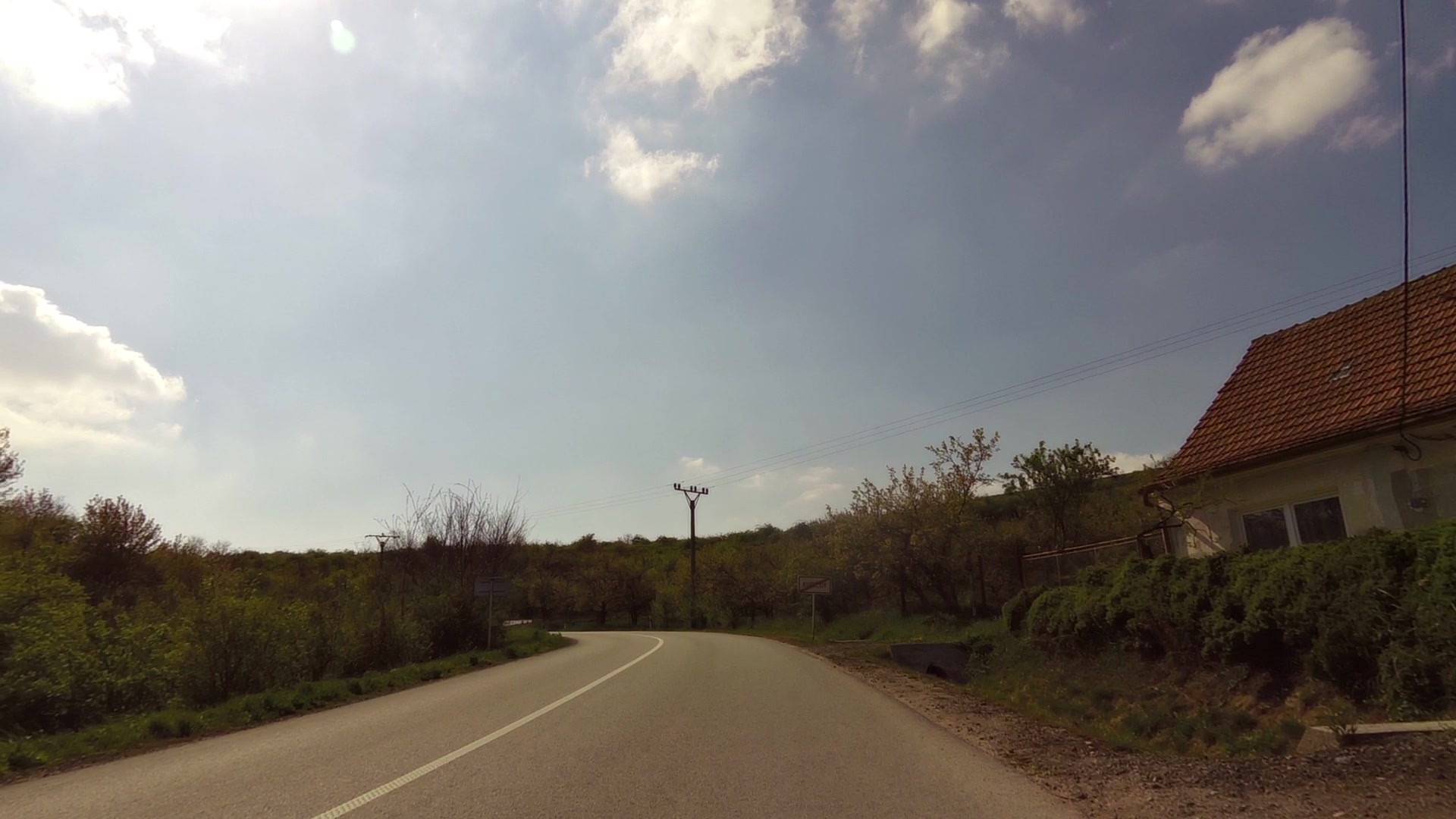
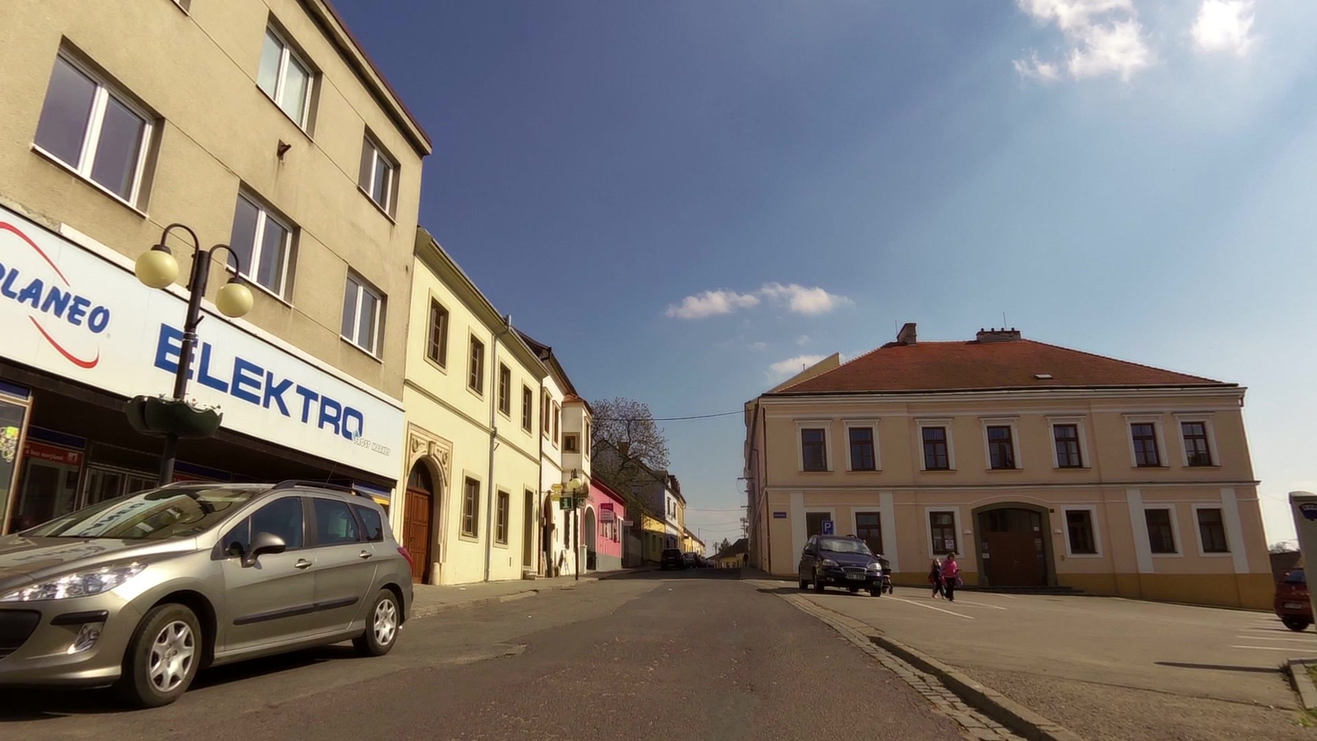
Moderately difficult, suitable for trekking and mountain bicycles - The route passes through the distinctive wine-growing villages with rich history and traditions.
It is precisely this variety of red wine which unites the five villages participating in this joint project. The new cycling route follows on the already proven Moravian wine cycling routes. There are numerous vineyards on the route Hustopeče - Starovičky - Velké Pavlovice. - Bořetice - Vrbice, where this variety is grown with great success. And not only that. It also has its origins here. It was created by crossing Lemberger and St. Laurent in Velké Pavlovice.
For more information, visit our trip in the André region.


![]() Back to the list of videoroutes
Back to the list of videoroutes


")


