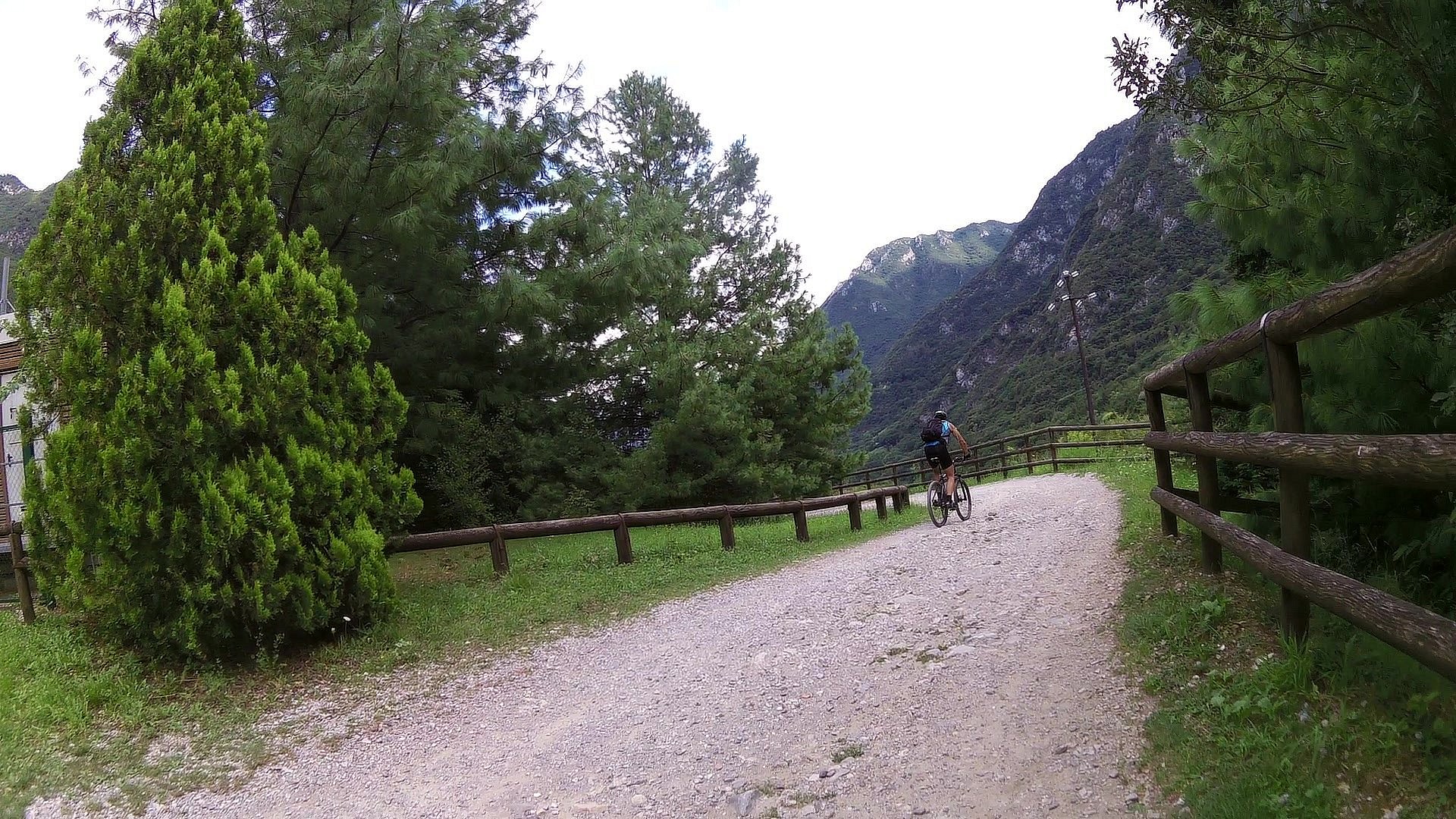
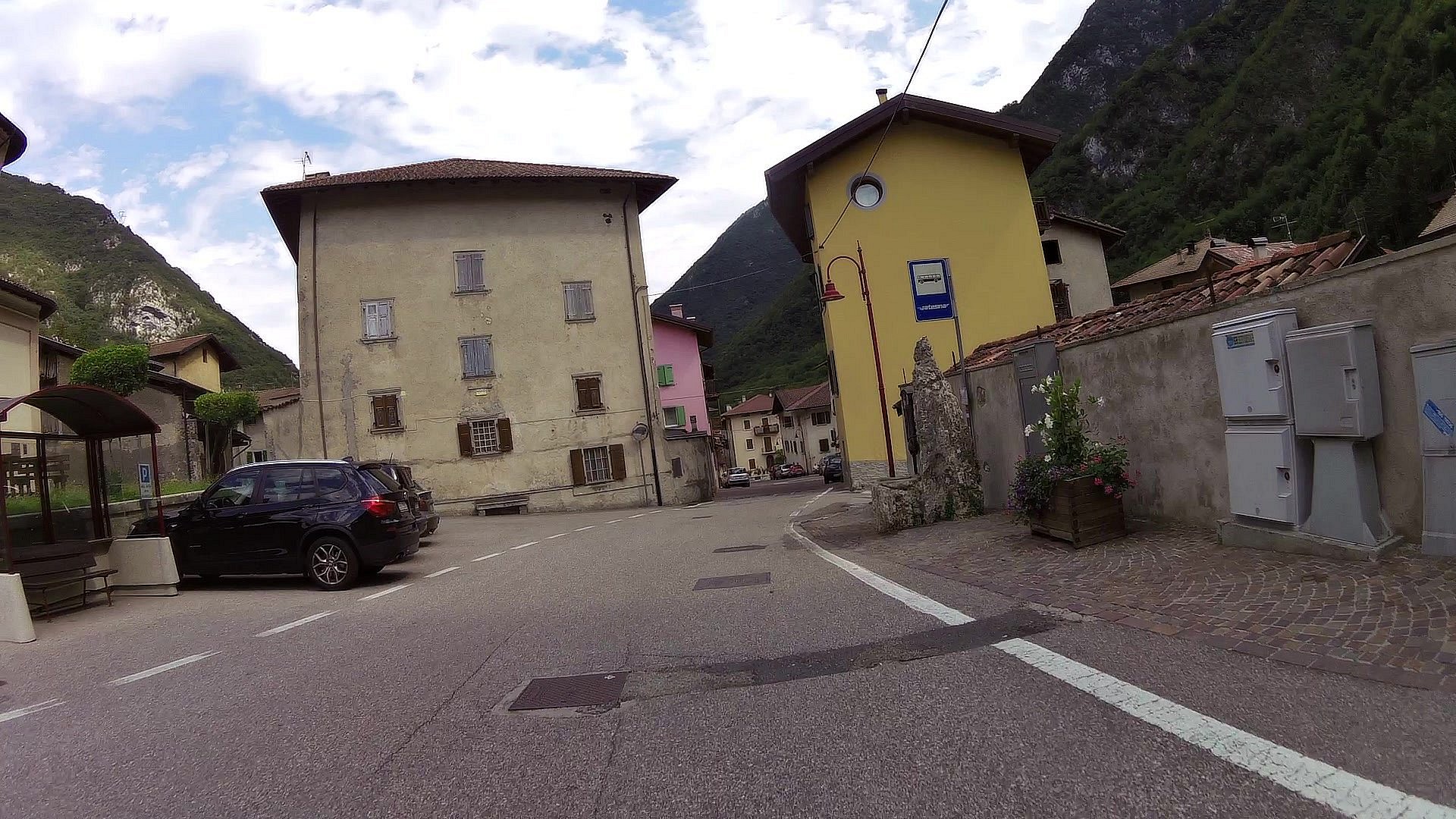
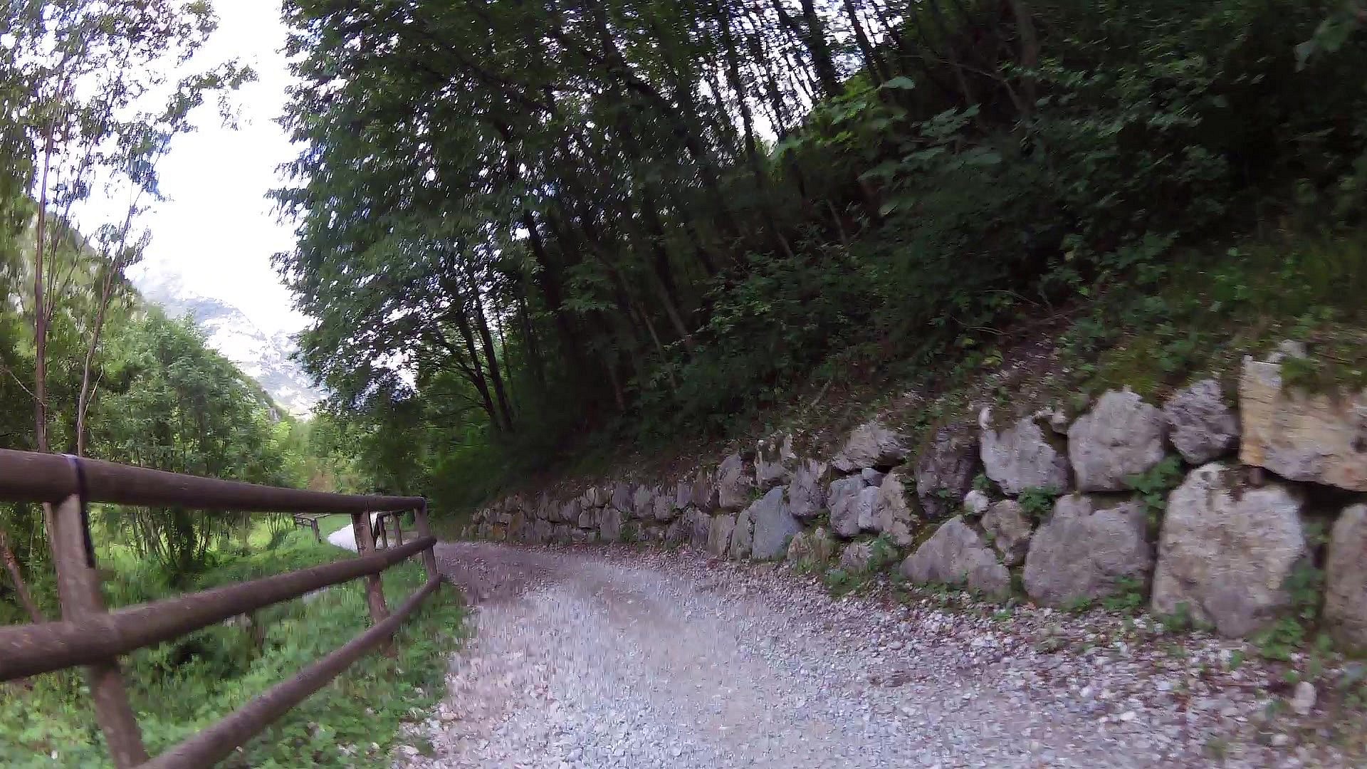
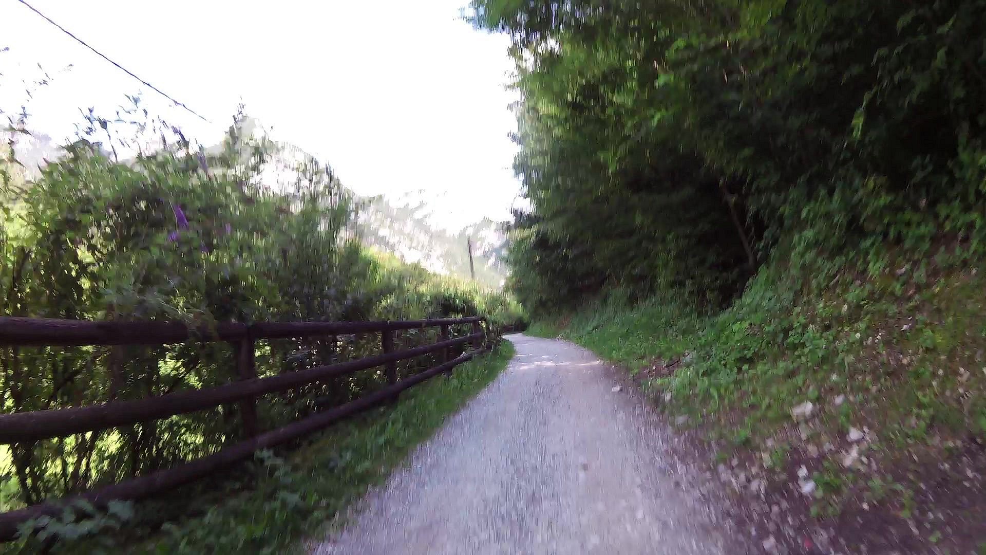
Mountainbiking route Ponale - Lago di Ledro

1x

Profile

0.00km
from start
18.63km
to finish
m
elevation
0m
total elevation
0m
total descent
like:
type:
Cycling
difficulty:
Intermediate
length:
18.63km
total elevation:
2,602.00m
total descent:
2,550.20m
navigation:
The route was filmed by camera Garmin Virb Elite

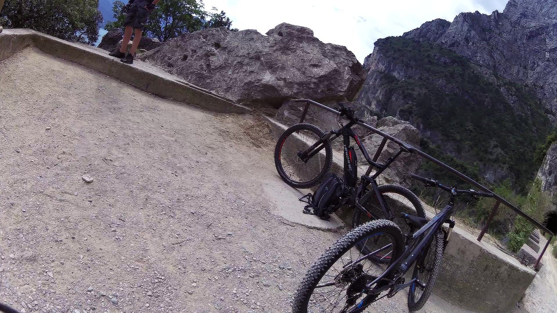
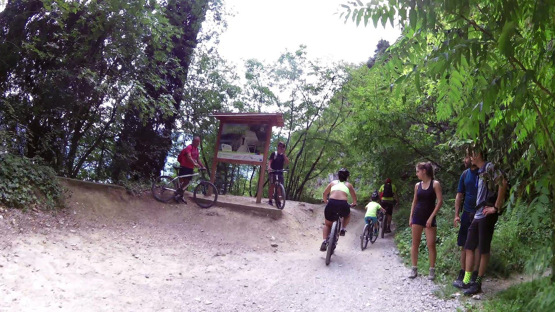
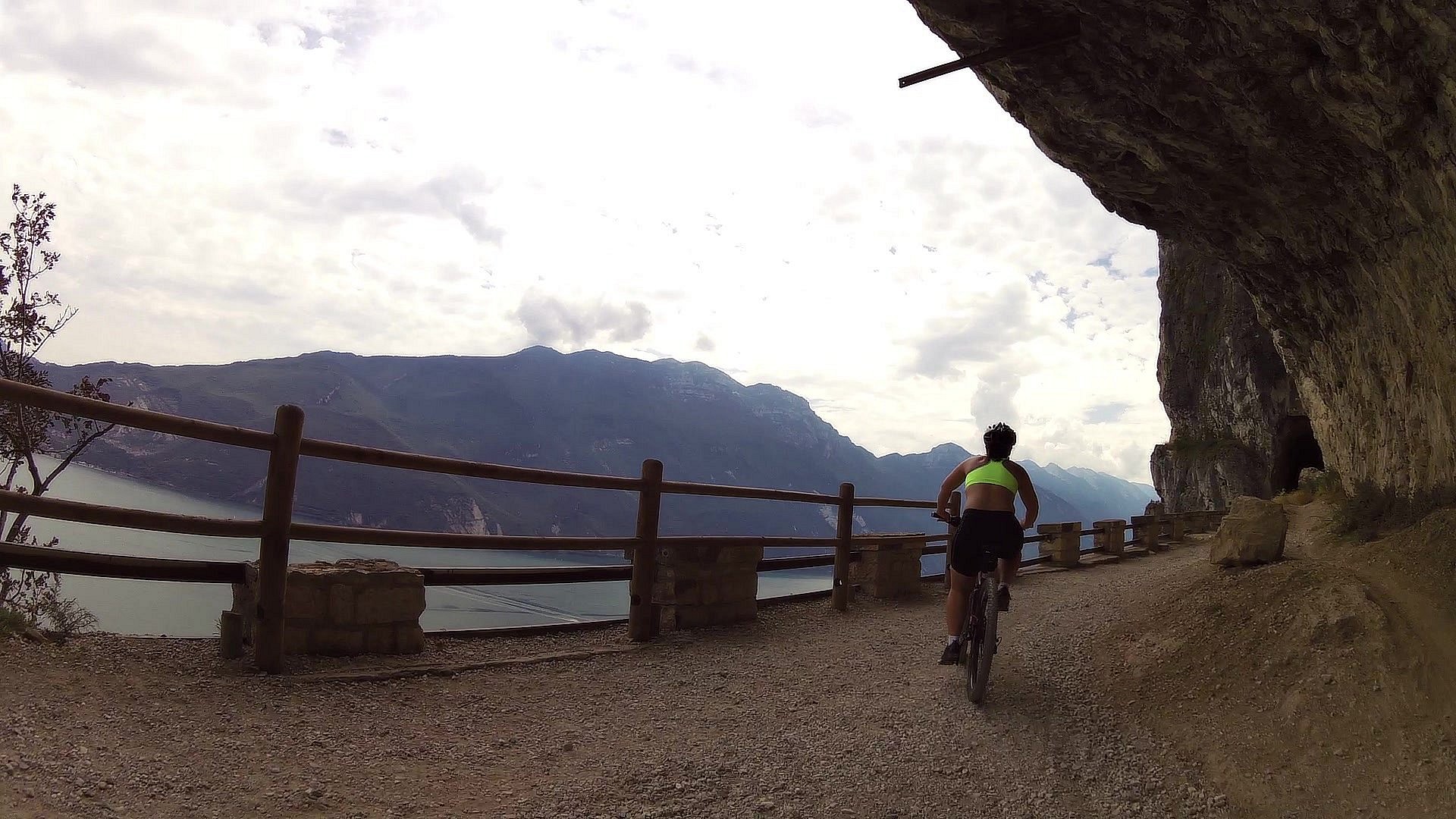
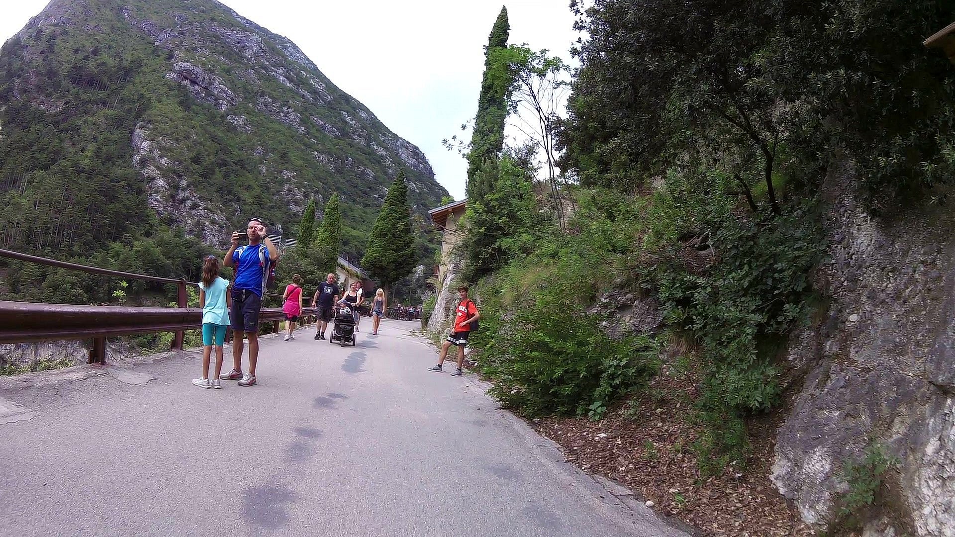
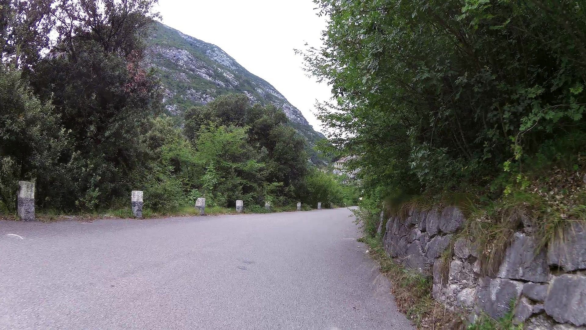
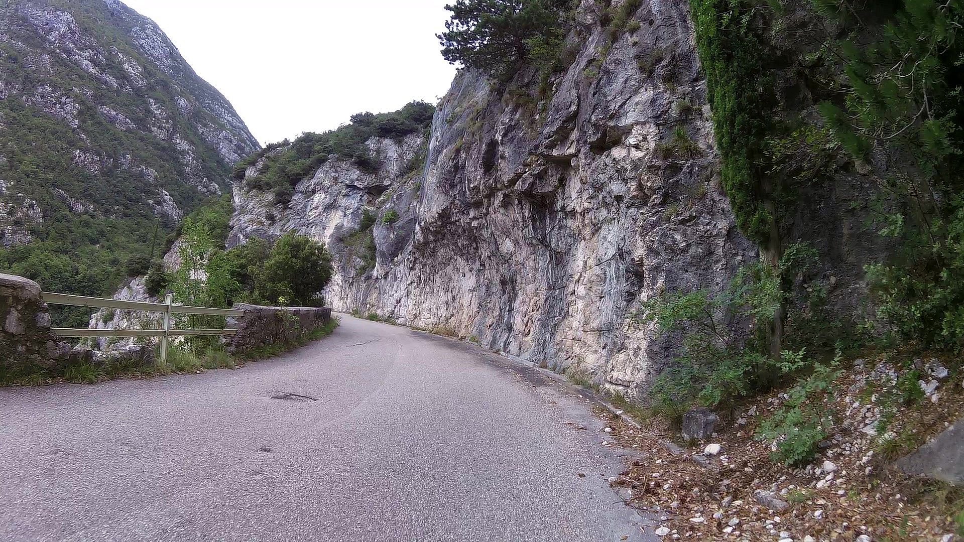
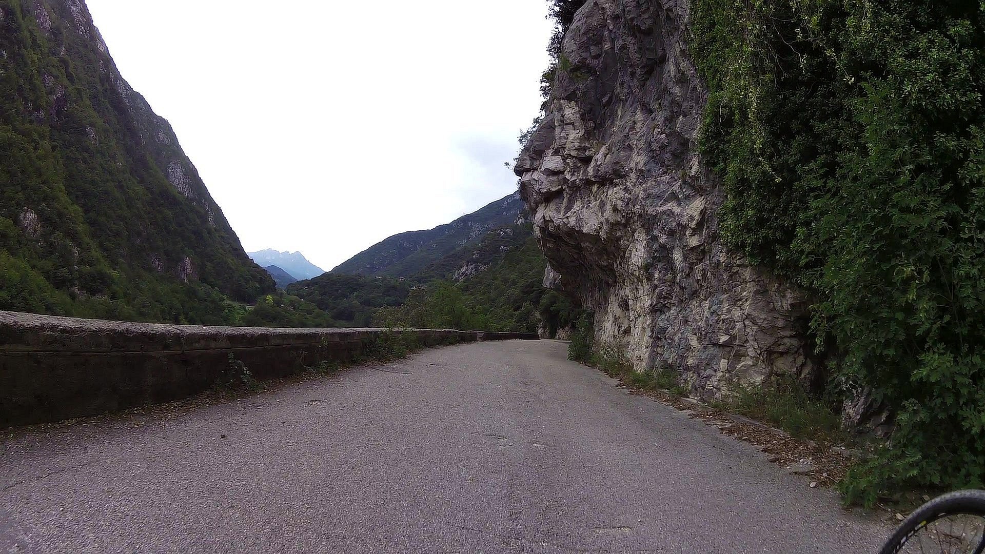
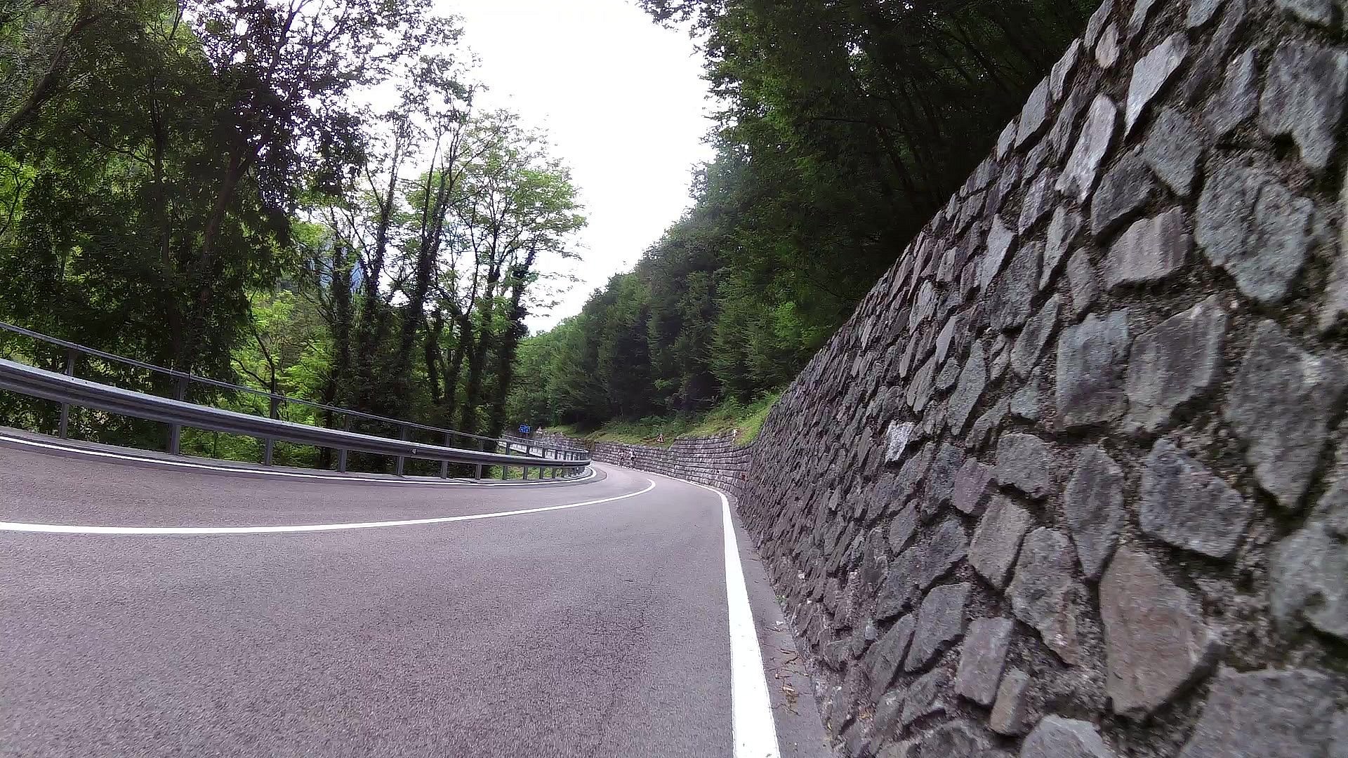
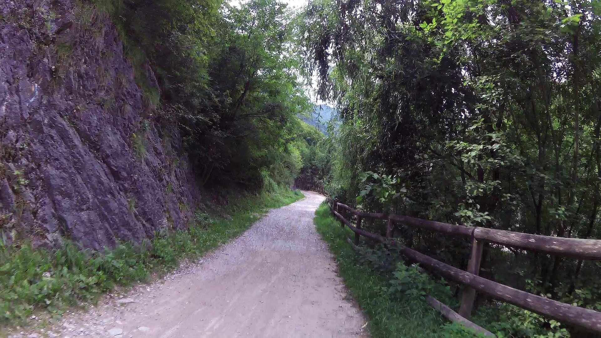
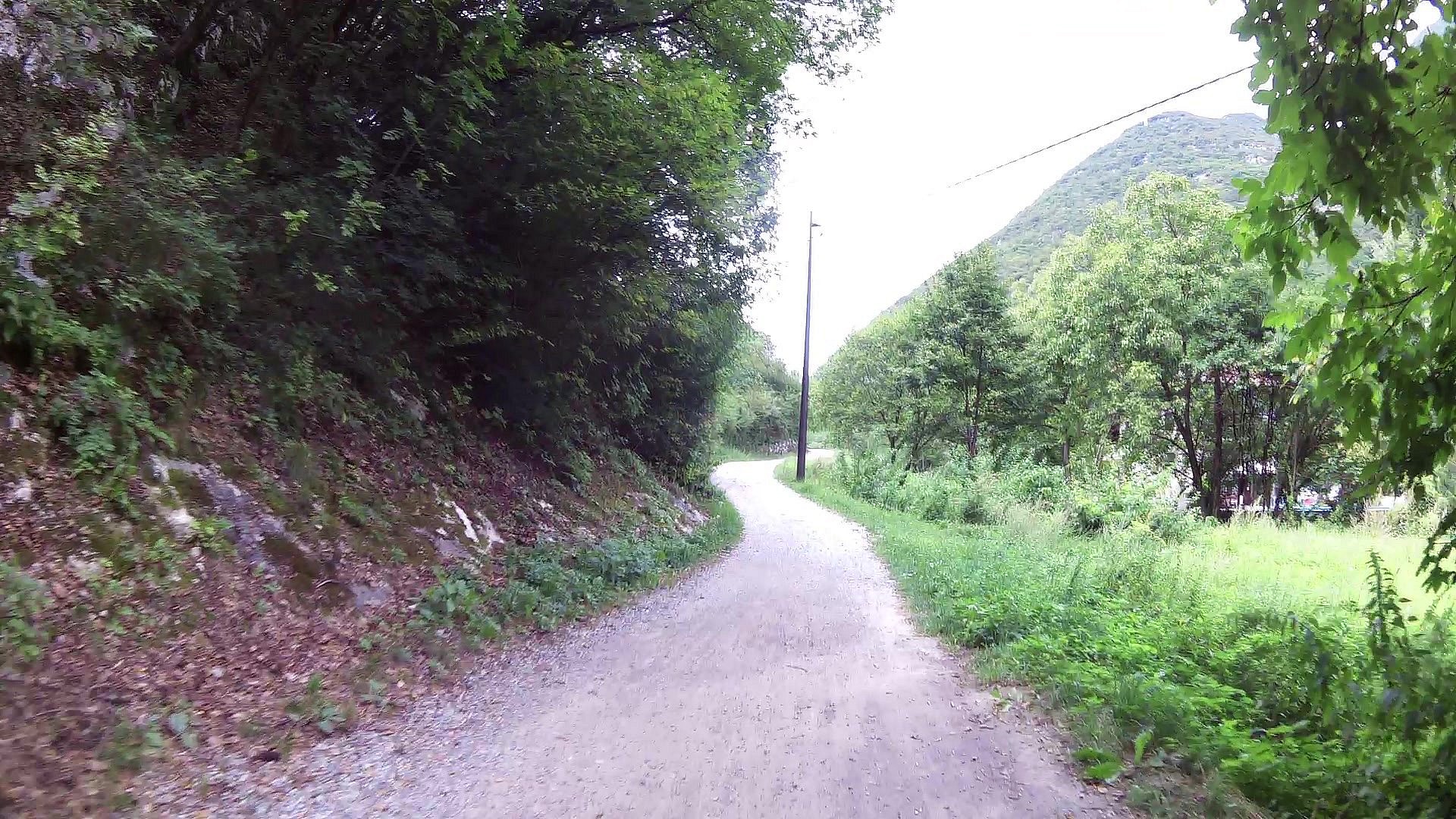
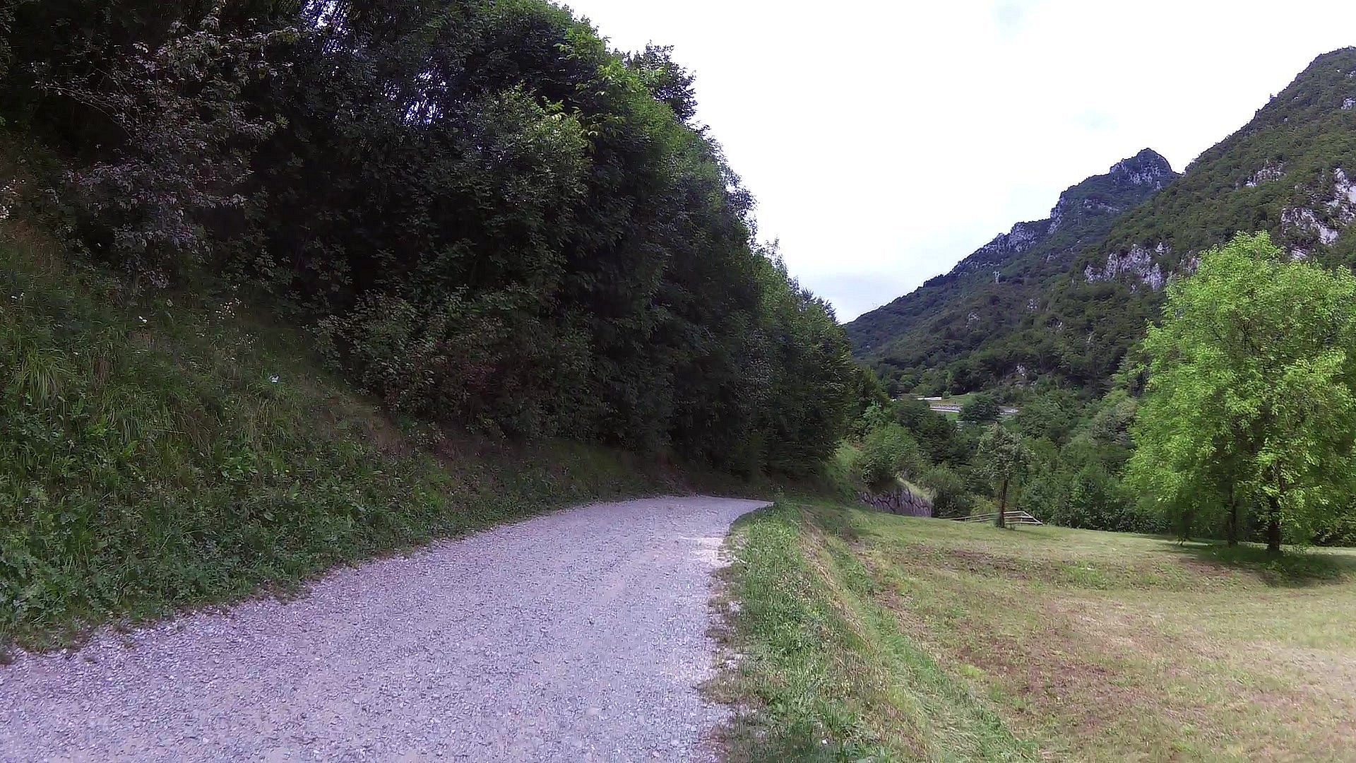
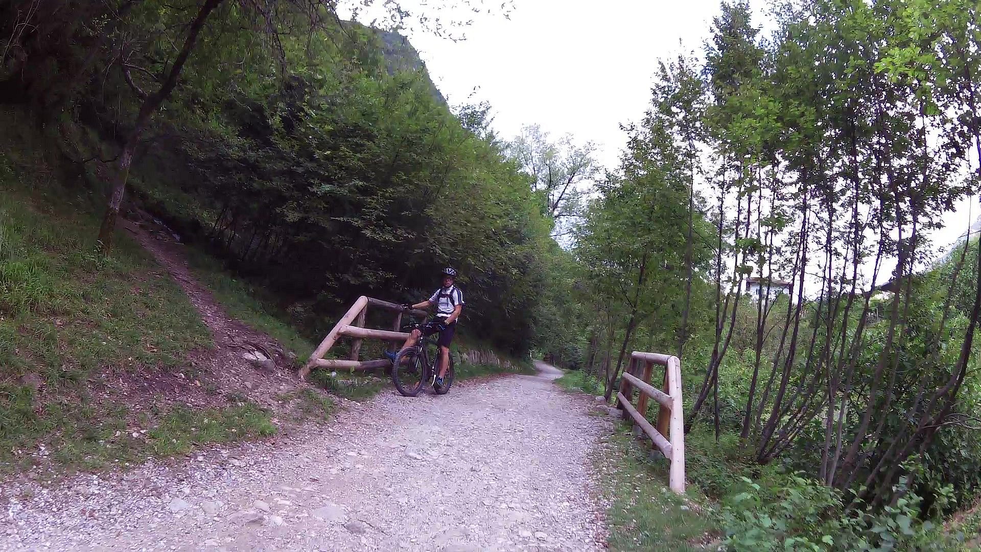
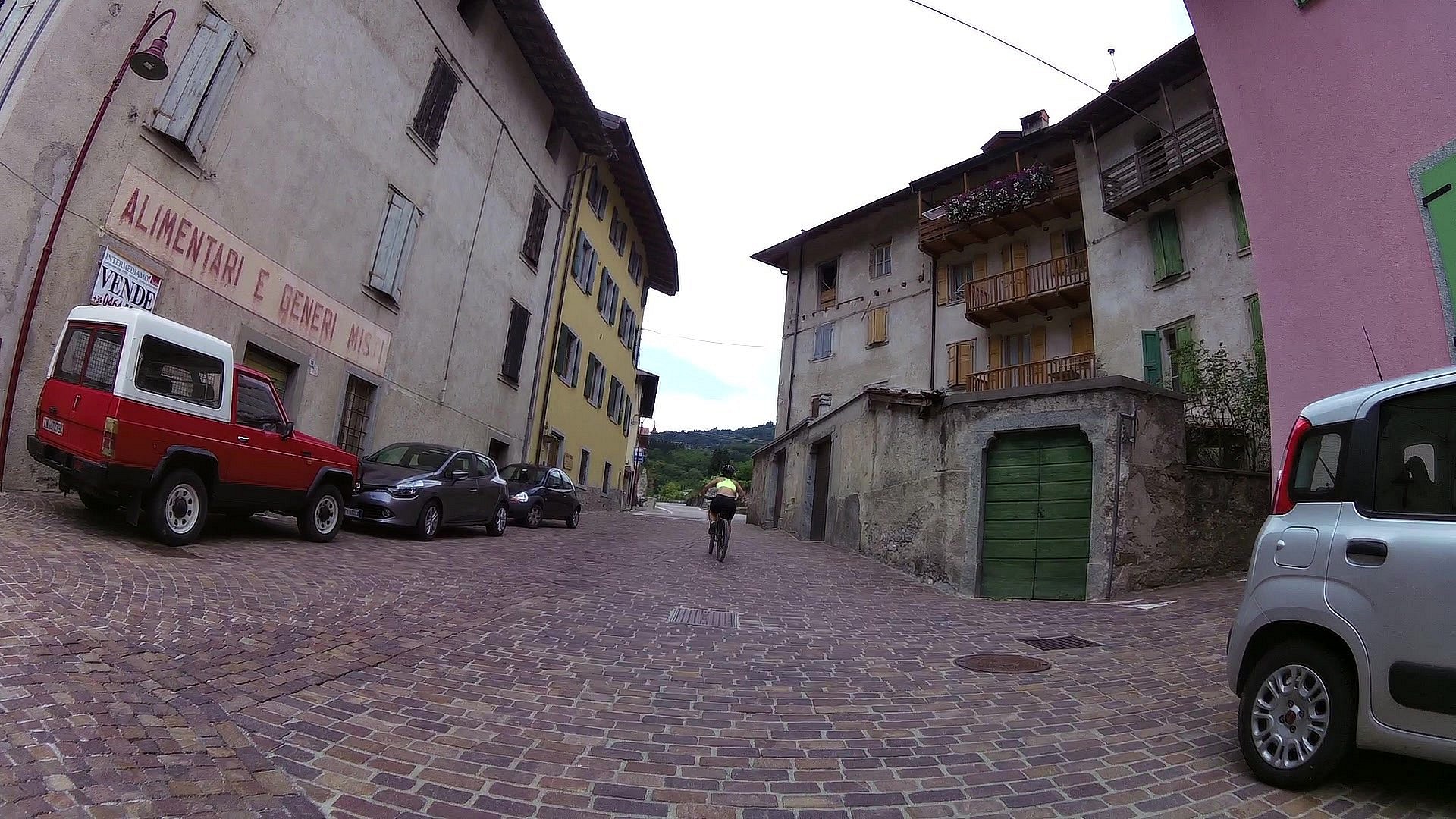
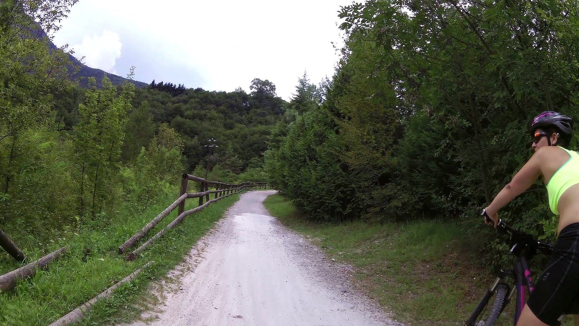
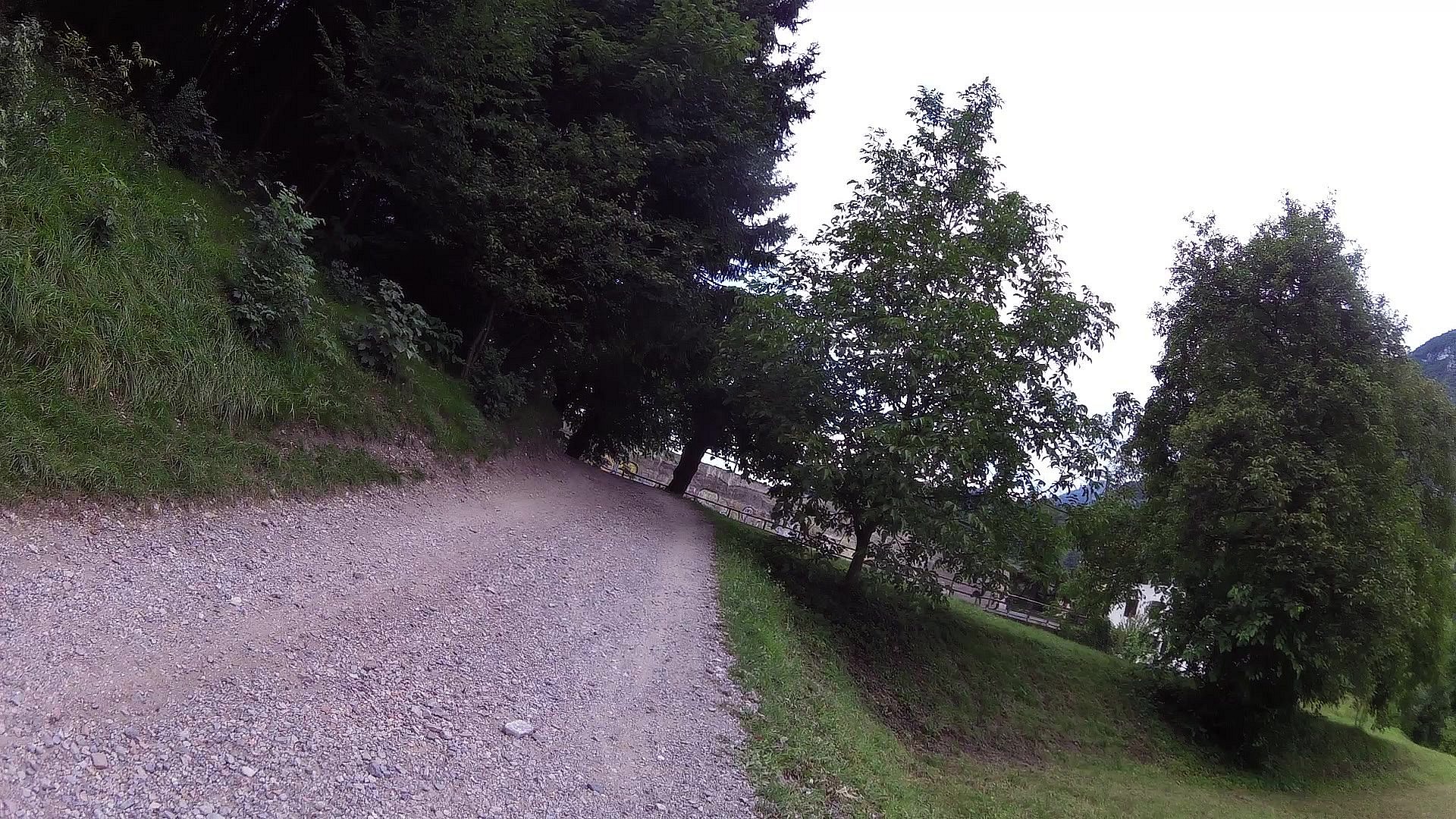
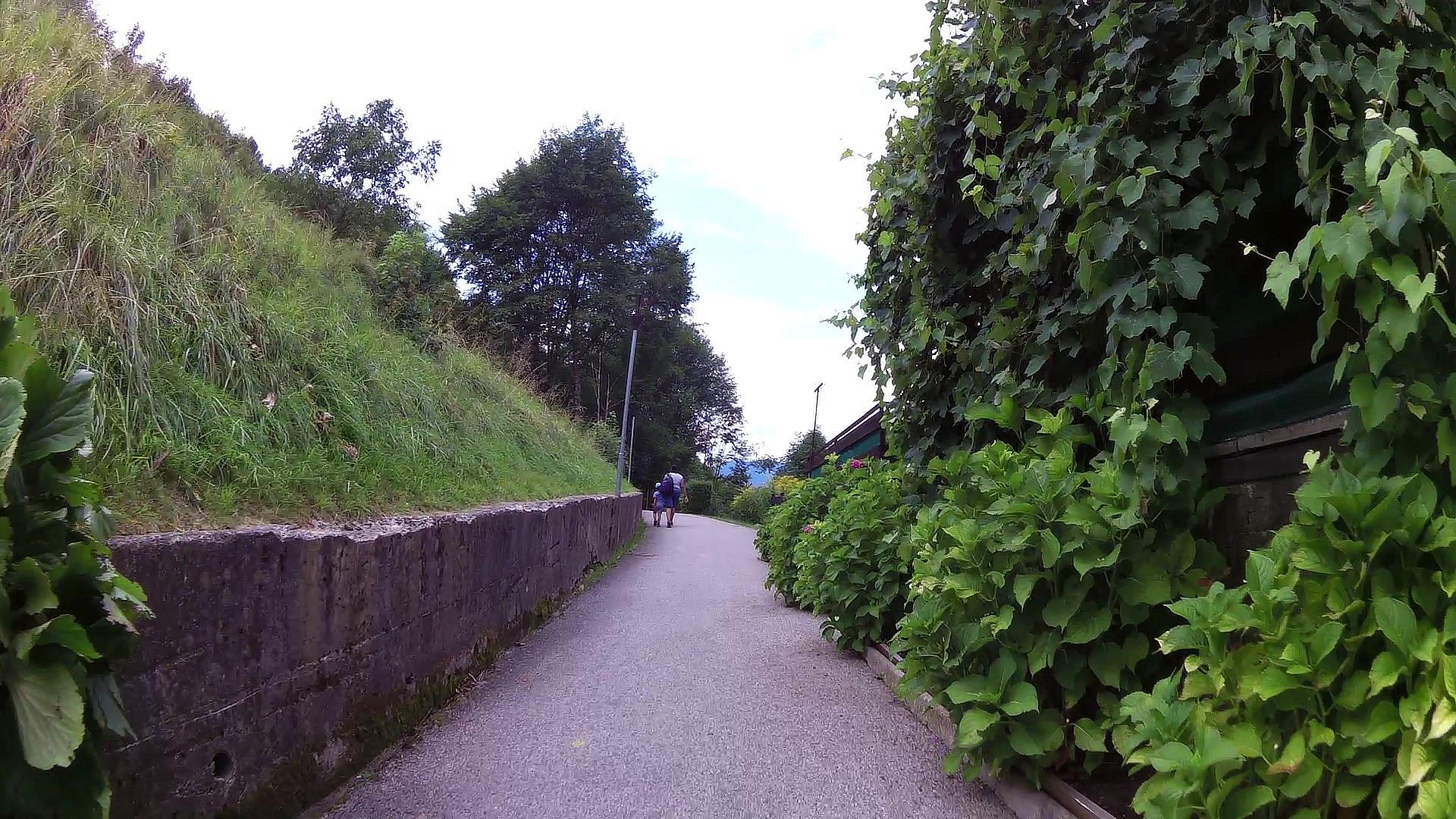
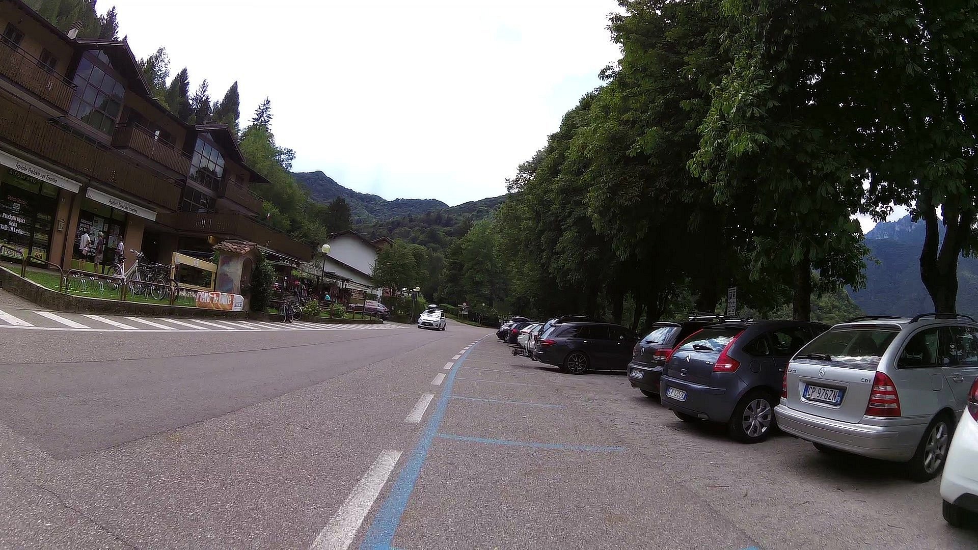
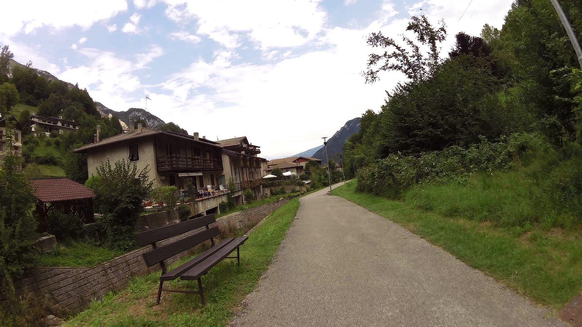
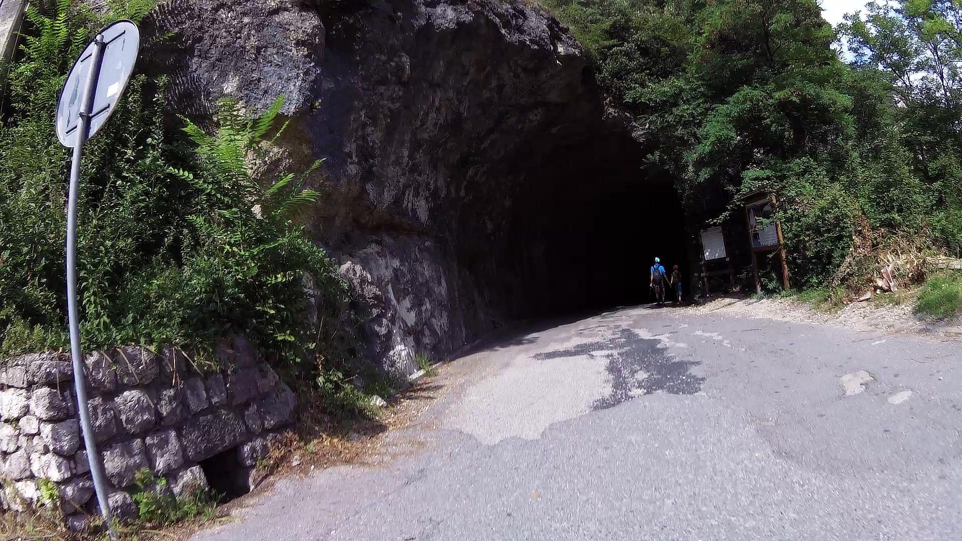
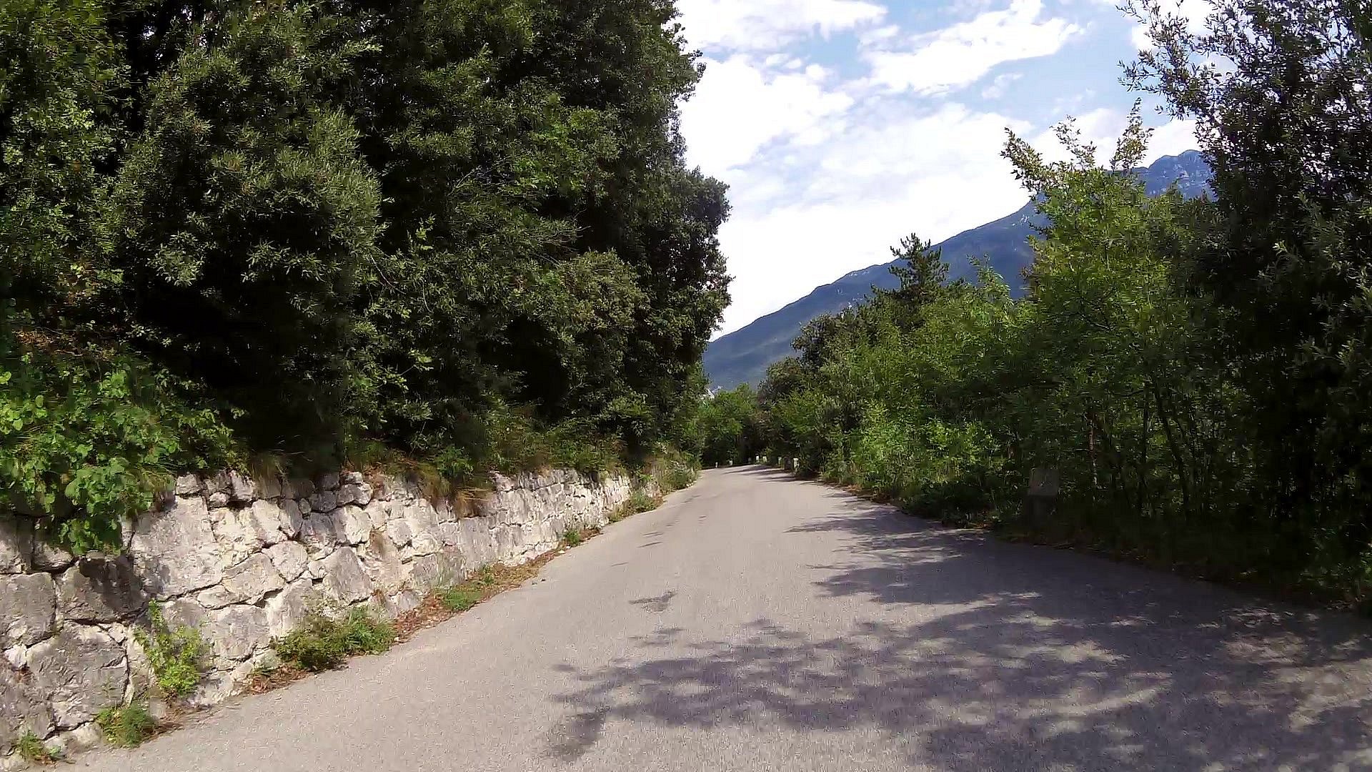
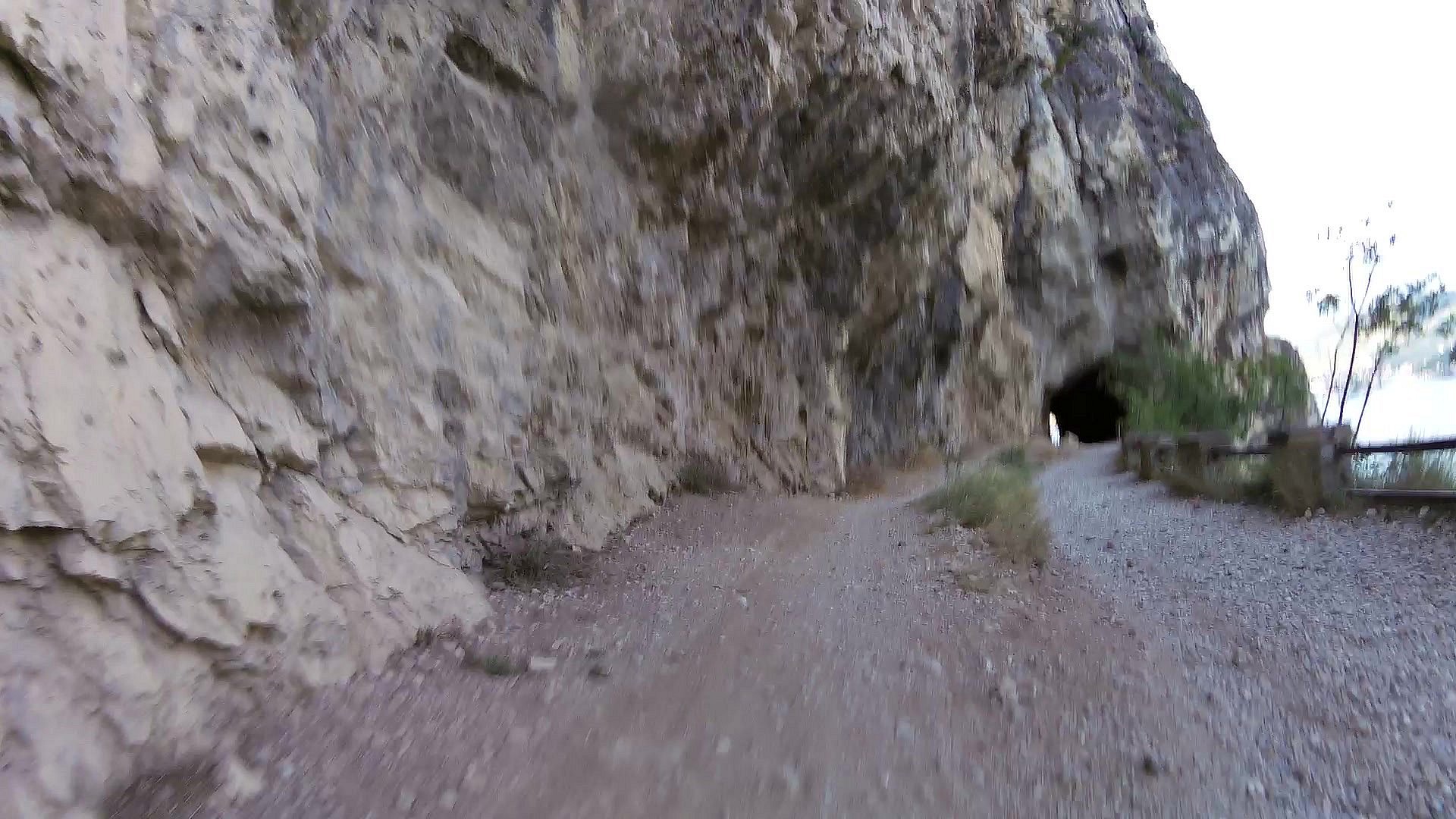
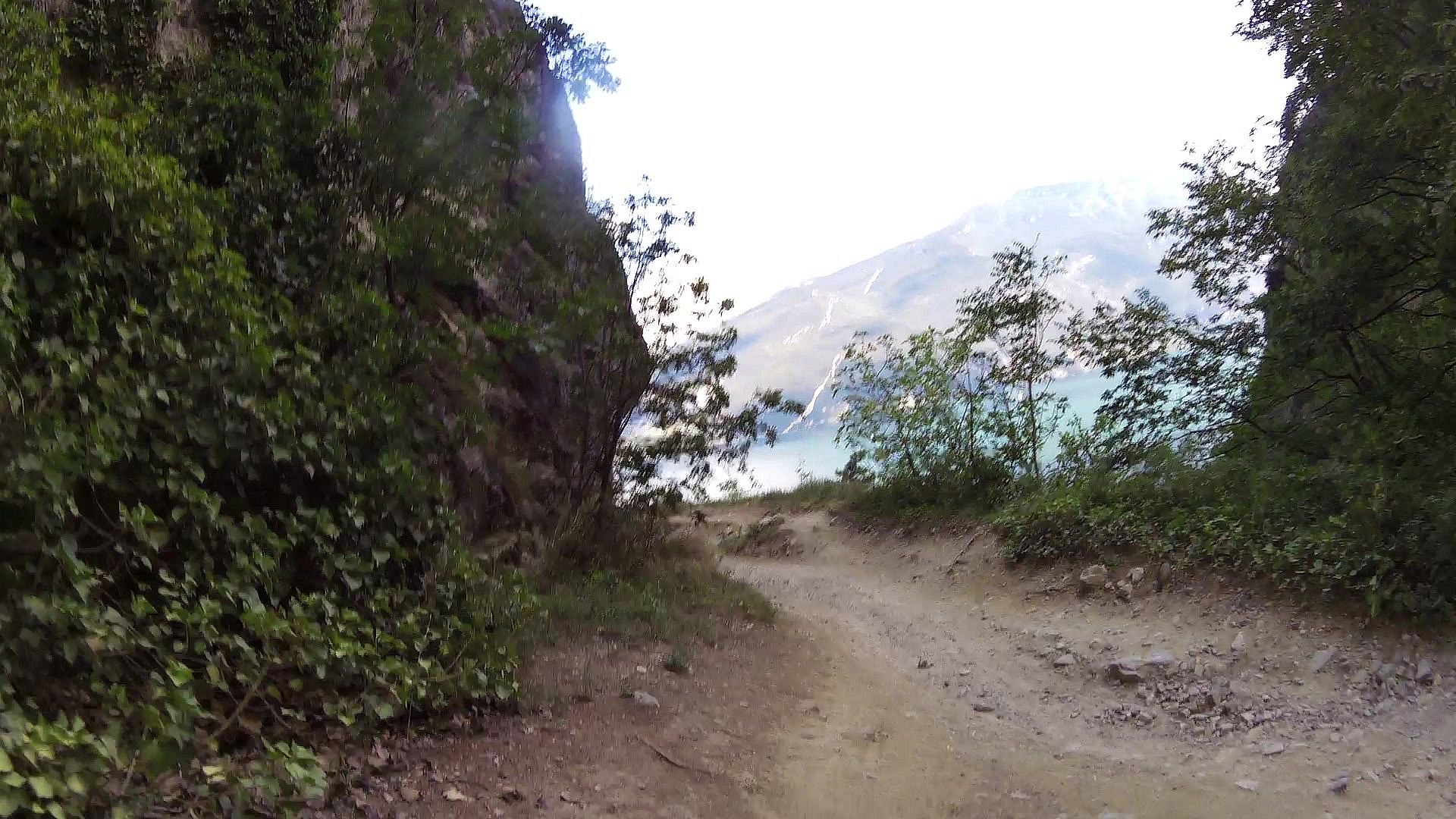
For more than a century the Ponale road has enchanted travellers. This route is ideal for all those who want to enjoy a nice cycling trip and a breath-taking view over Lake Garda and the surrounding mountains.

The Ponale road was paramount to hold Riva and the North Garda Lake, then at the border between the Austro-Hungarian Empire (to which Trentino belonged) and the Kingdom of Italy. Because of its strategical value to Austria-Hungary, it was at the centre of an extensive network of fortifications since 1860. 

Find more: https://maps.gardatrentino.it.

Photos from track

Picture from track Mountainbiking route Ponale - Lago di Ledro
0.00km • map • video
Picture from track Mountainbiking route Ponale - Lago di Ledro
1.07km • map • video
Picture from track Mountainbiking route Ponale - Lago di Ledro
1.57km • map • video
Picture from track Mountainbiking route Ponale - Lago di Ledro
2.28km • map • video
Picture from track Mountainbiking route Ponale - Lago di Ledro
2.70km • map • video
Picture from track Mountainbiking route Ponale - Lago di Ledro
3.18km • map • video
Picture from track Mountainbiking route Ponale - Lago di Ledro
3.65km • map • video
Picture from track Mountainbiking route Ponale - Lago di Ledro
4.15km • map • video
Picture from track Mountainbiking route Ponale - Lago di Ledro
4.63km • map • video
Picture from track Mountainbiking route Ponale - Lago di Ledro
5.08km • map • video
Picture from track Mountainbiking route Ponale - Lago di Ledro
5.66km • map • video
Picture from track Mountainbiking route Ponale - Lago di Ledro
6.19km • map • video
Picture from track Mountainbiking route Ponale - Lago di Ledro
6.72km • map • video
Picture from track Mountainbiking route Ponale - Lago di Ledro
7.14km • map • video
Picture from track Mountainbiking route Ponale - Lago di Ledro
7.96km • map • video
Picture from track Mountainbiking route Ponale - Lago di Ledro
8.20km • map • video
Picture from track Mountainbiking route Ponale - Lago di Ledro
8.41km • map • video
Picture from track Mountainbiking route Ponale - Lago di Ledro
8.83km • map • video
Picture from track Mountainbiking route Ponale - Lago di Ledro
9.51km • map • video
Picture from track Mountainbiking route Ponale - Lago di Ledro
10.63km • map • video
Picture from track Mountainbiking route Ponale - Lago di Ledro
11.63km • map • video
Picture from track Mountainbiking route Ponale - Lago di Ledro
12.72km • map • video
Picture from track Mountainbiking route Ponale - Lago di Ledro
13.59km • map • video
Picture from track Mountainbiking route Ponale - Lago di Ledro
14.52km • map • video
Picture from track Mountainbiking route Ponale - Lago di Ledro
15.53km • map • video
Picture from track Mountainbiking route Ponale - Lago di Ledro
17.15km • map • video
Picture from track Mountainbiking route Ponale - Lago di Ledro
18.19km • map • video
Picture from track Mountainbiking route Ponale - Lago di Ledro
19.25km • map • video

back Back to the list of videoroutes

back Back to the list of videoroutes